Mont Pousseuil, from Crest dessous


Edited by:
Giancarlo Beretta
Updated at: 04/05/2025
Access
After 150 metres from the motorway junction exit at Pont-Saint-Martin, turn left and take the Strada Statale in the direction of Aosta. At the first roundabout, take the second exit to continue on the . Continue for 2.2 km, passing through Donnas, until the next roundabout. At the roundabout, take the second exit to stay on the . Continue for about 3 km until you reach another roundabout near the Fortress of Bard. Here, take the third exit and take the Strada Regionale in the direction of Valle di Champorcher. Continue for 6.7 km on , passing through Hône, until you reach Pontboset. Disregard the first fork on the left and take the next fork. Turn left and follow the little communal road for 2.9 km until you reach the car park 🅿️antistante the village of Crest dessous: few places available (about 15).
[0h27'] - [16.4km]
How to get there with GMaps
How to get there with Apple Maps
The directions provided have been carefully checked as of the date the route was taken. However, it is highly recommended to check for any changes that may have occurred since then, especially regarding the route to the starting point. Before embarking on your journey, it is advisable to consult up-to-date navigation tools for accurate and up-to-date directions. We recommend the use of satellite navigation apps, such as Google Maps or Apple Maps, to ensure the most accurate and safe route.
Introduction
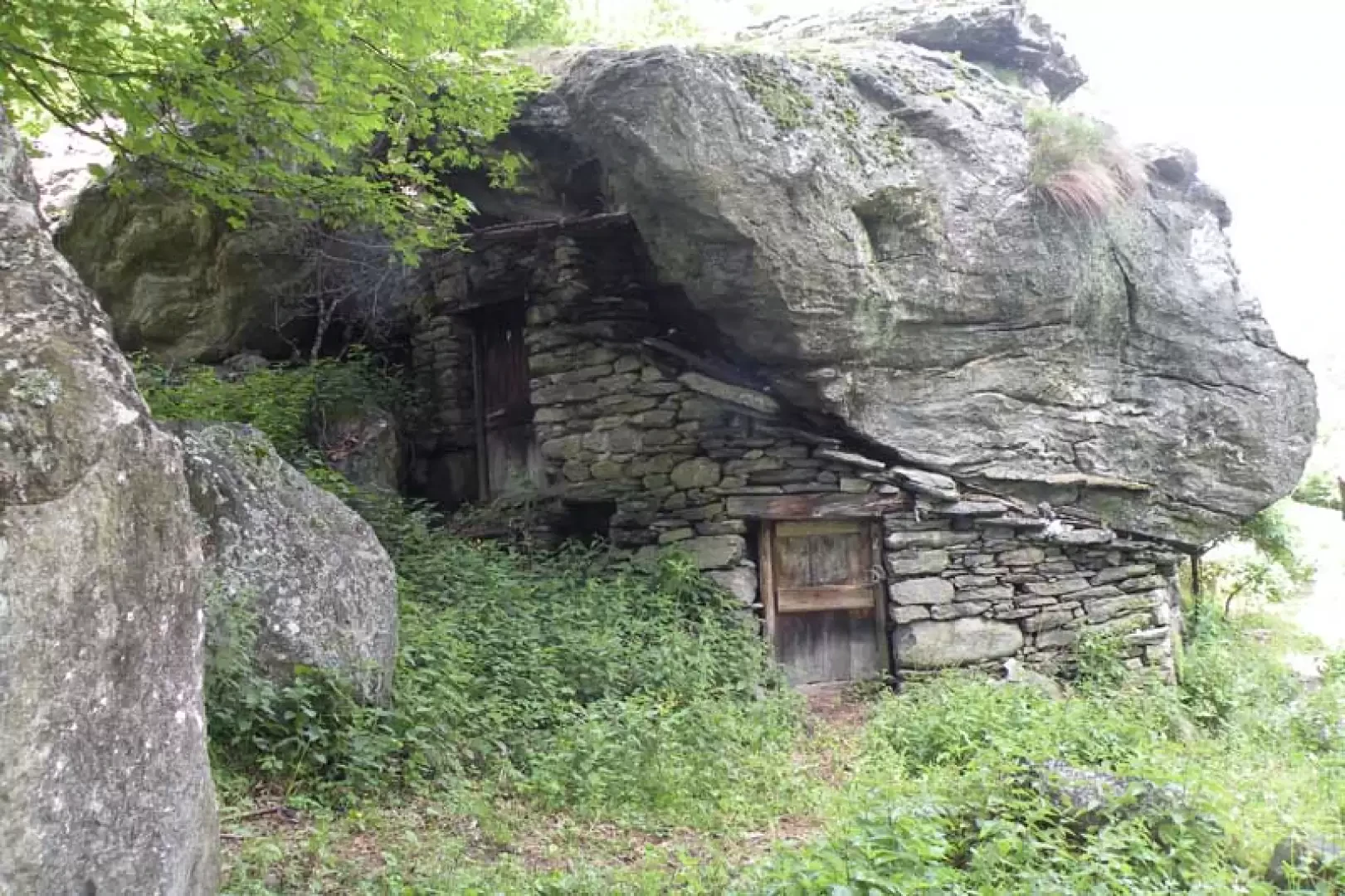
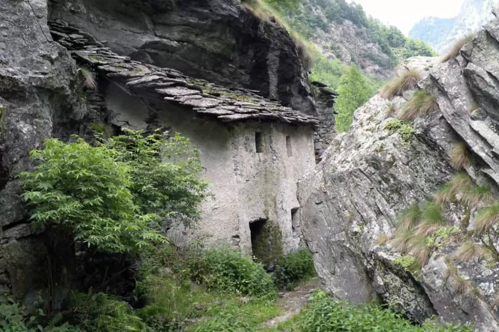
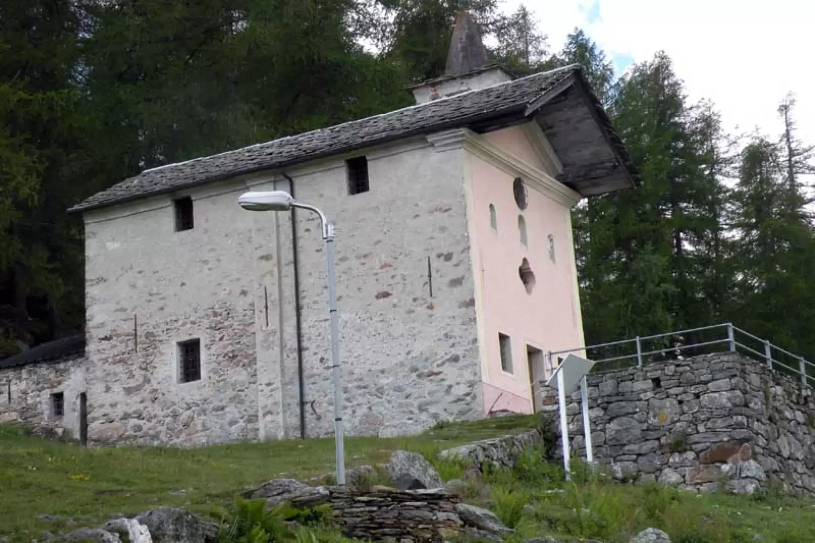
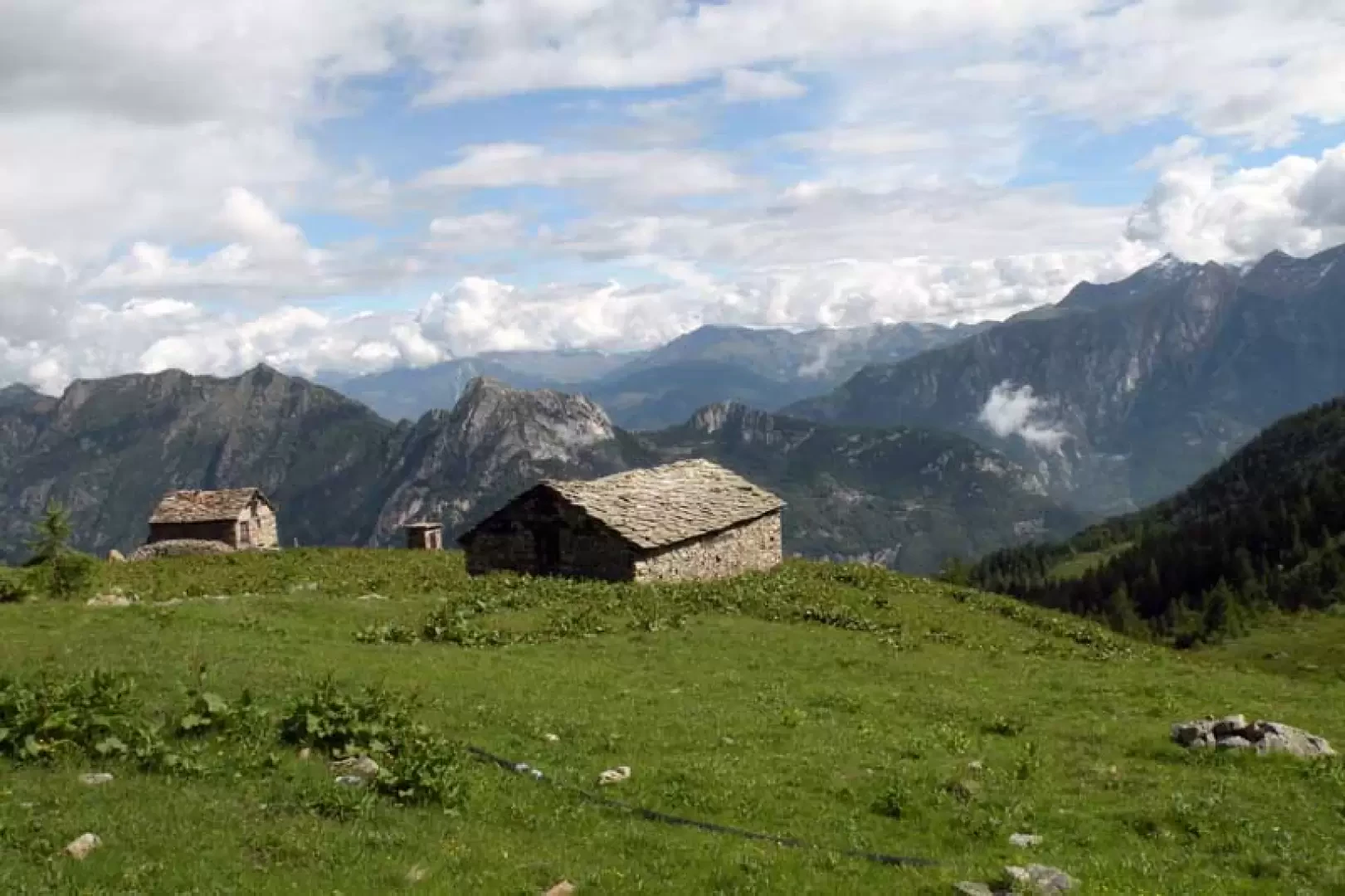
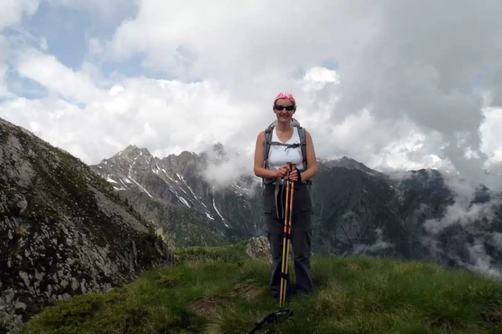
Mont Poussuil is a modest elevation of the long ridge that descends from Mont Debat to the lower valley just above the village of Hône and can be easily reached, even in the absence of a path, from the pass of the same name located on the passage of the Alta Via 2 in the section leading from Donnas to Champorcher, some 100 metres below it. The panorama is very beautiful both on the surrounding peaks of the area of Champorcher and the valley above Donnas and on those just a little further away in the lower Lys valley and the valley of Ayas. Reaching it does not entail any difficulty, and the route runs through beautiful forests in the lower part, while higher up it crosses some pastureland alternating with areas of low vegetation, and in any case, as it is not a very busy area, it is recommended if you want to take a route off the crowded paths. Before reaching the pass, you pass by the beautiful Retempio Sanctuary with its characteristic external pulpit made of stones while, on the way down, it is worth seeing the characteristic alpine pasture of Glair, near the starting point, where there are huts built under large boulders.
Description
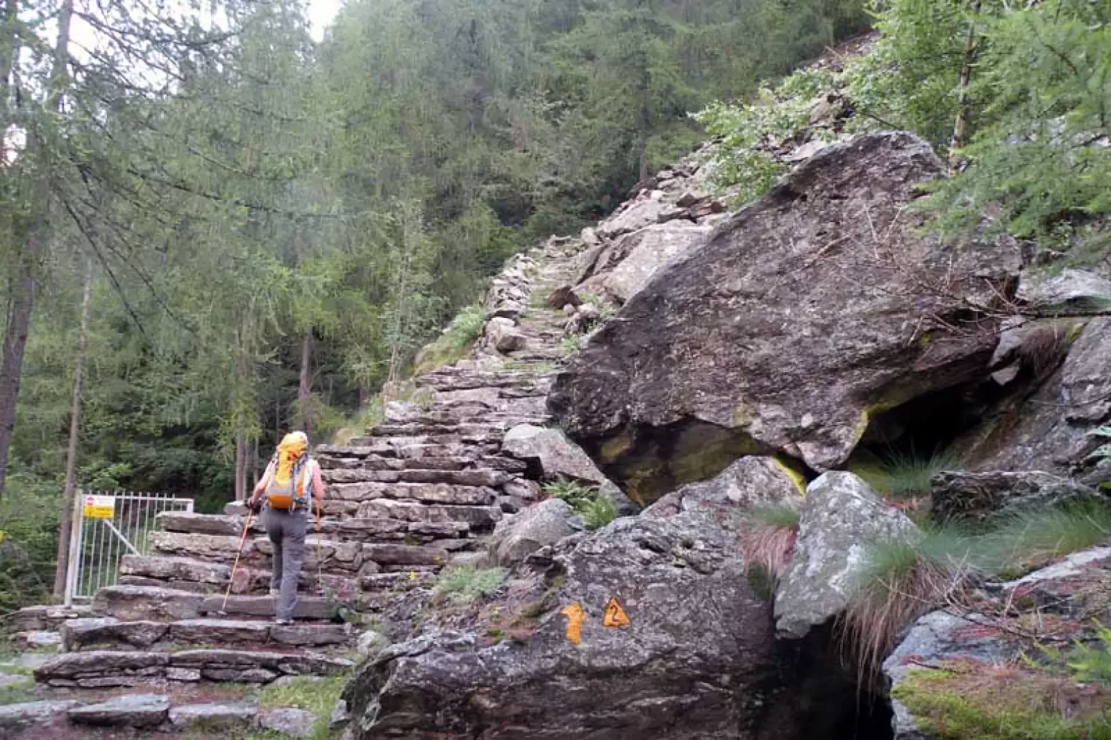
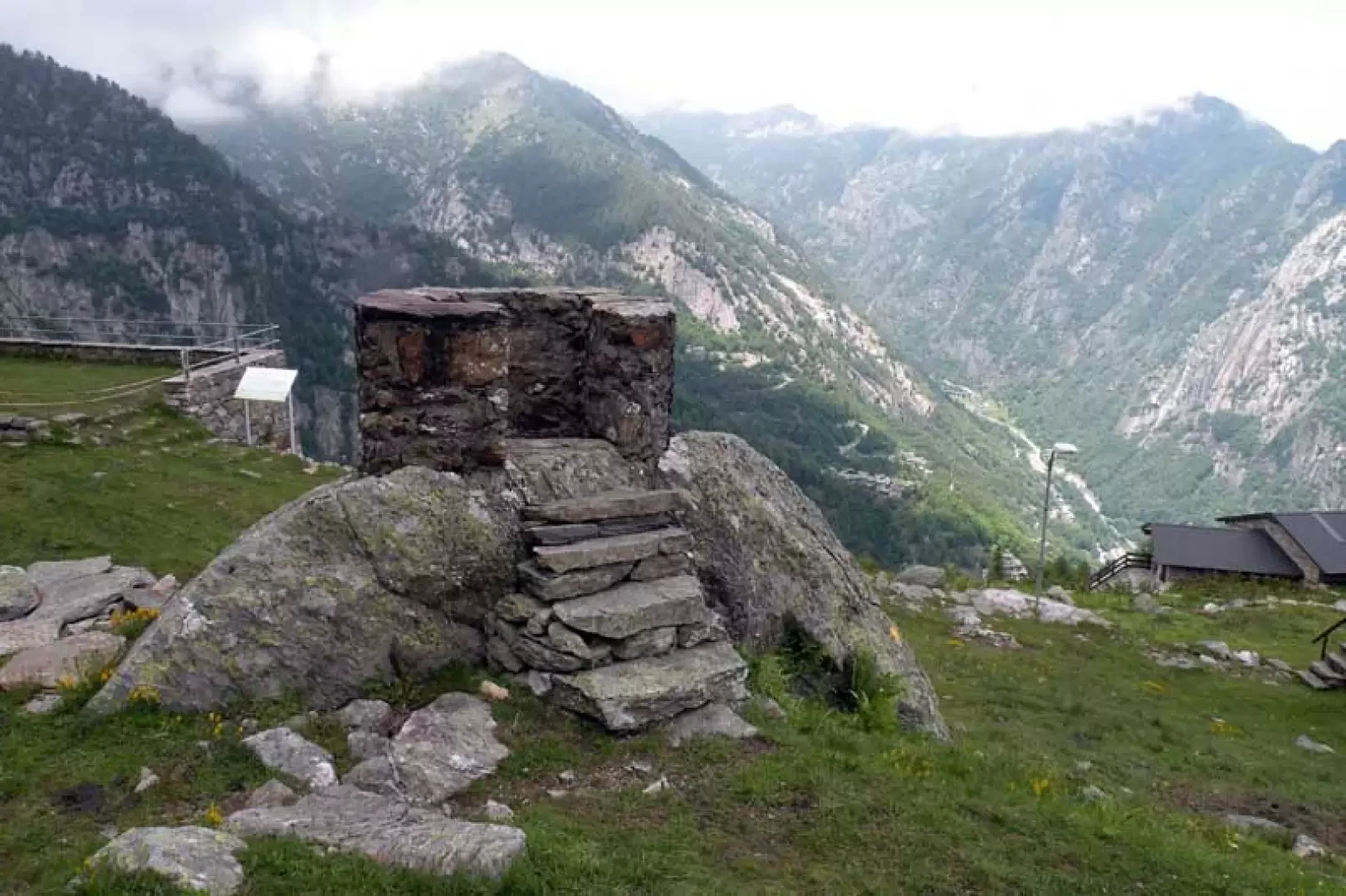
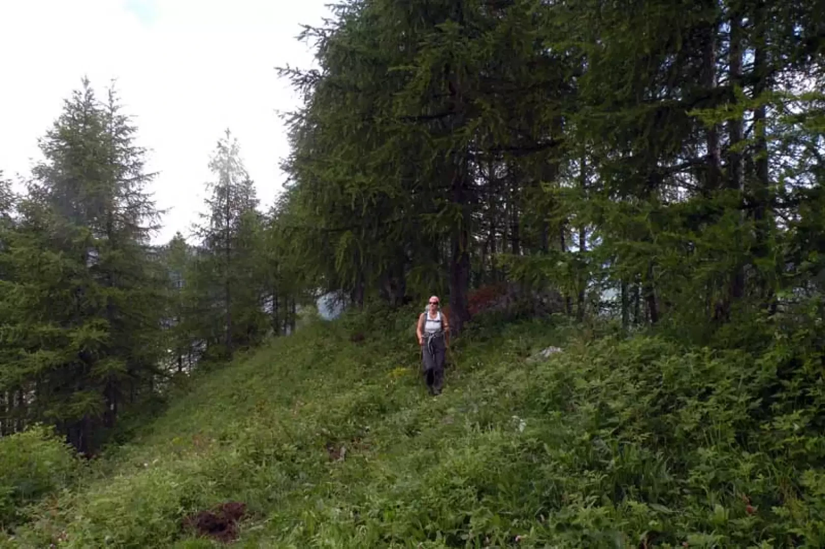
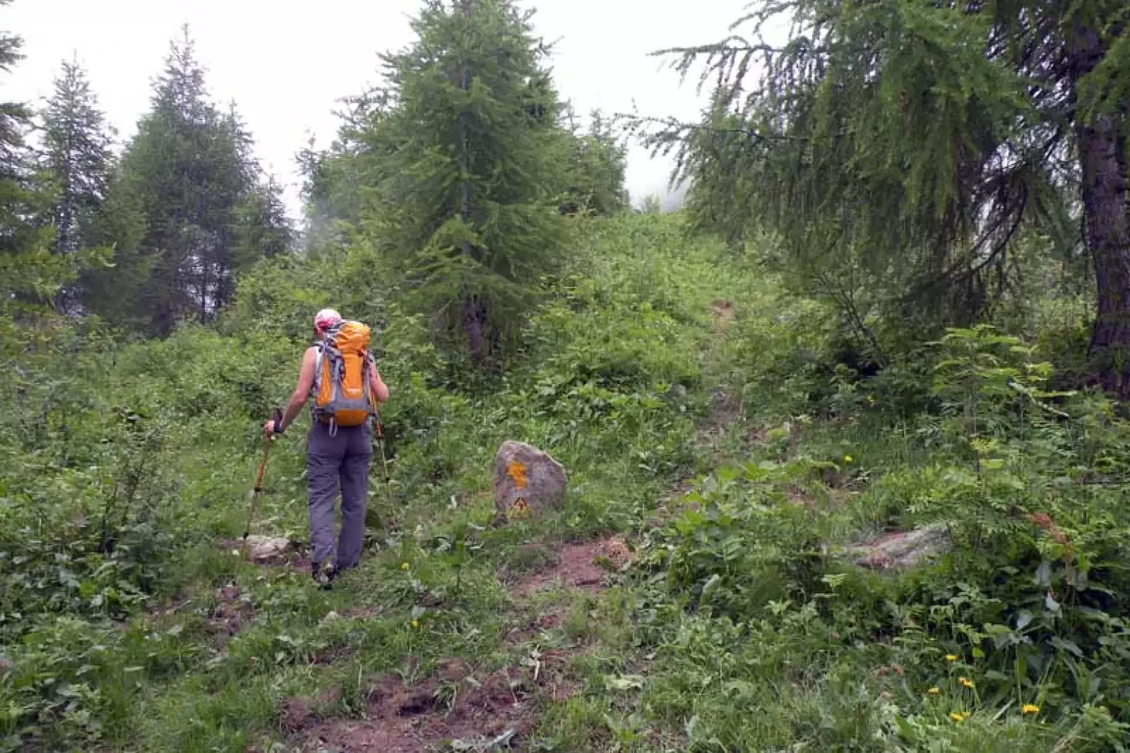
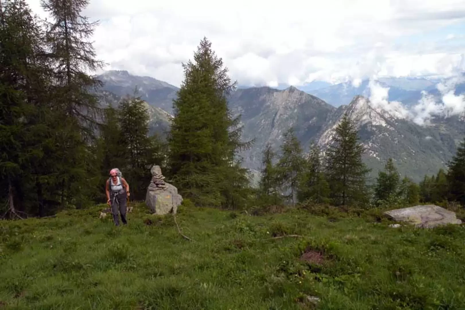
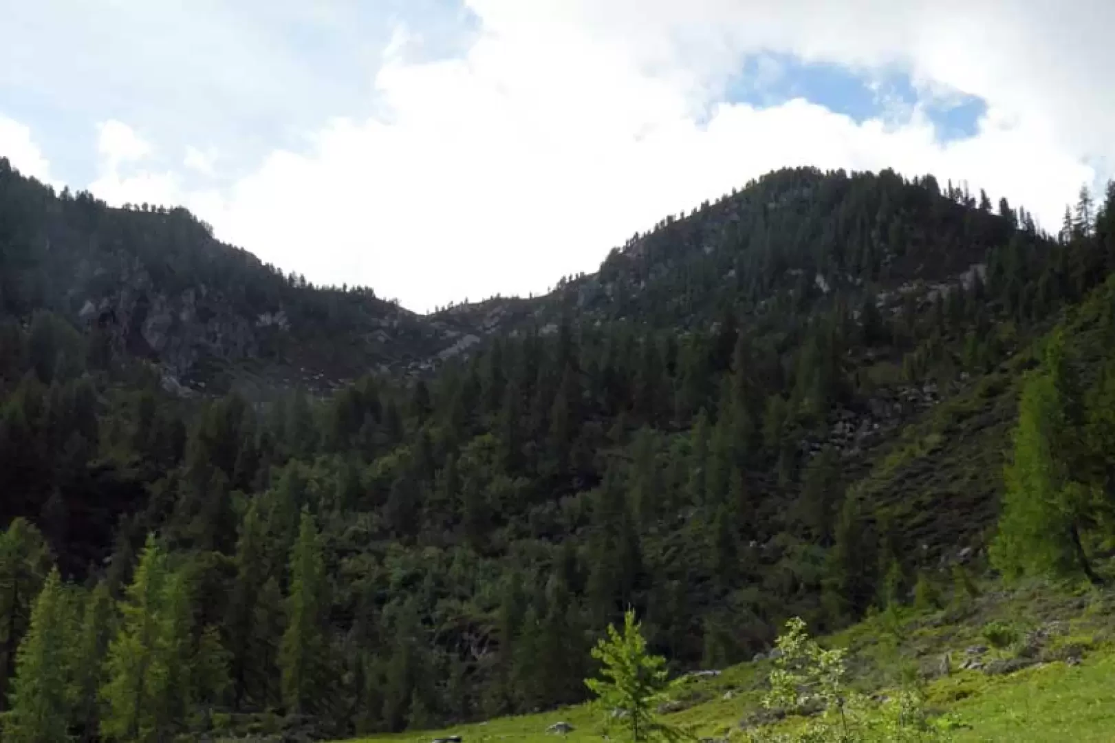
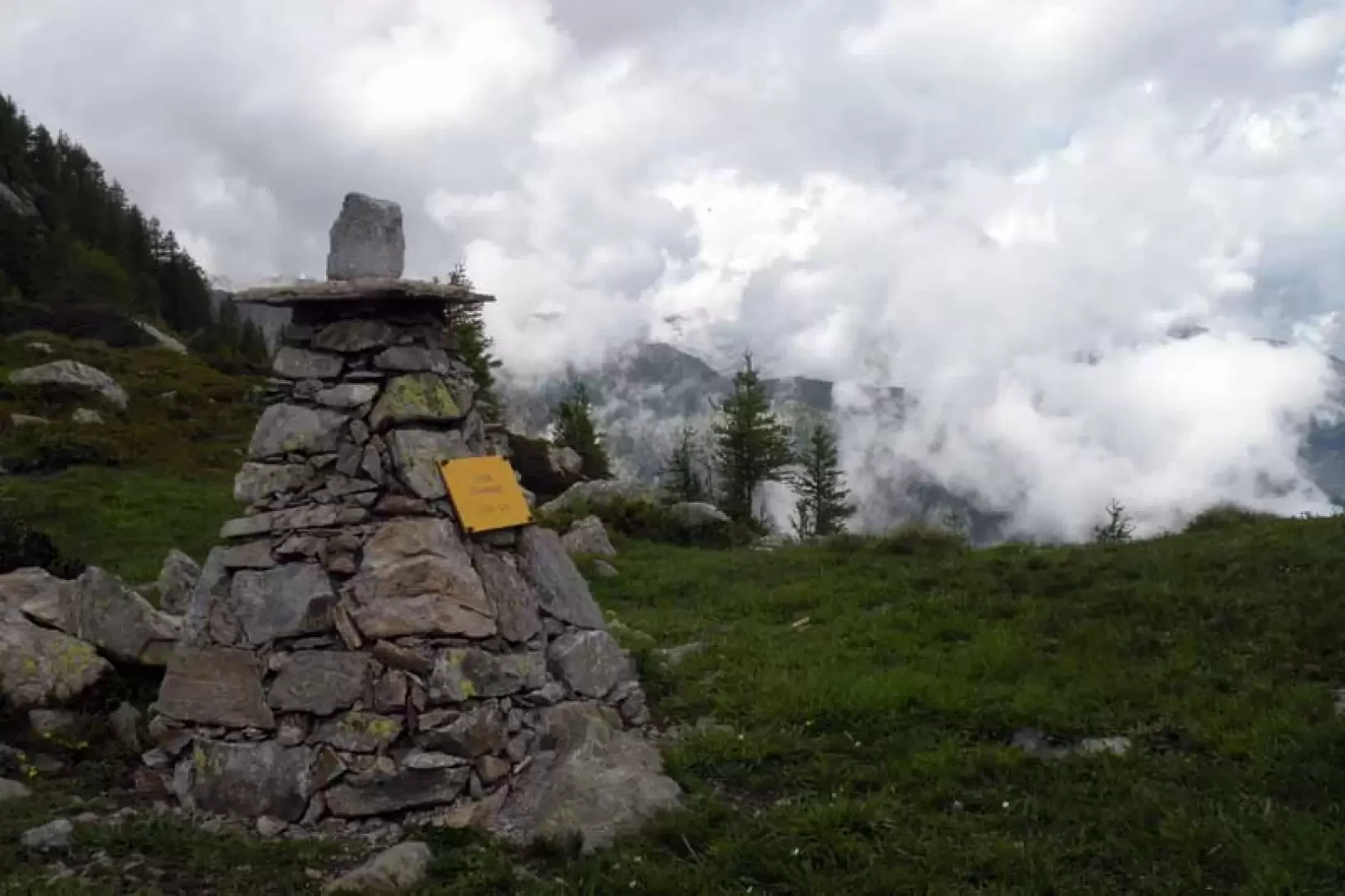
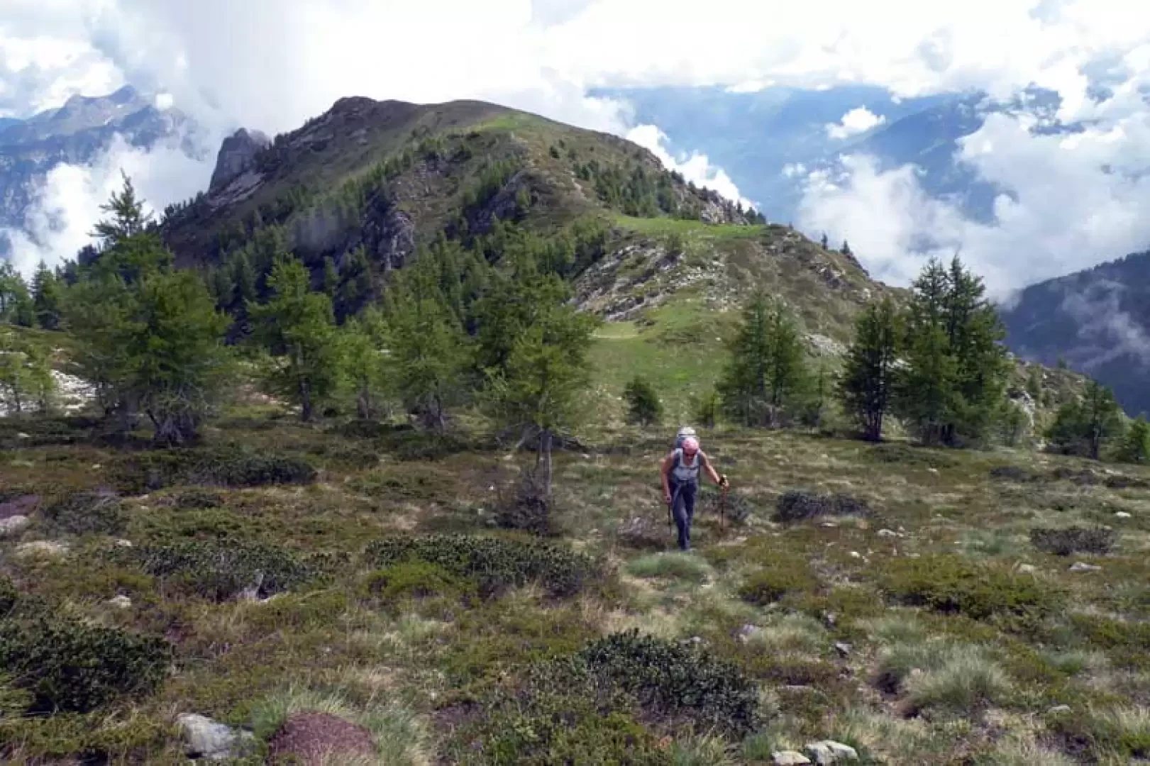
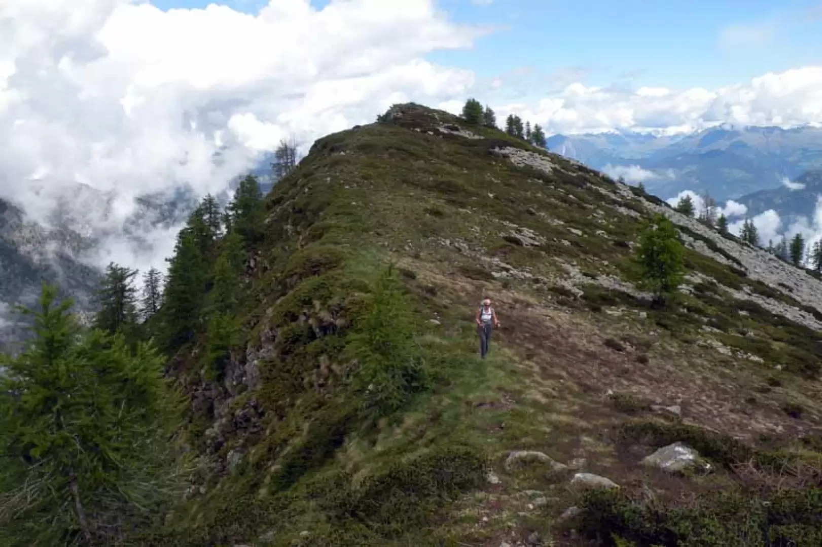
From the car park, walk towards the houses and, just before them, on the left are the posts indicating the start of the itinerary. We rise with a few hairpin bends and then walk on level ground along a lovely mule track, entering the beech and hazelnut woods and immediately coming to a fork signposted by posts, at which we continue straight ahead, ignoring the path that branches off to the right; Continue straight ahead, ignoring the path that branches off to the right. Continue without a slope, following alongside a cement water conduit that cuts the side of the mountain and, after passing a couple of small votive chapels, the mule track passes above the Glair mountain pasture, which remains hidden from view but which, at least on the return journey, is worth a visit for the characteristic huts built under large stones. Immediately afterwards, we come to a bridge that allows us to cross the Brenve stream and continue, for a short distance, this time over the stream itself, arriving near a metal gate from where, to the right, a steep path rises; with numerous narrow hairpin bends, you immediately gain height, ignoring two tracks that branch off to the left, one just before and one just after a ruin (1327 m), and after a short traverse to the right through the woods, you reach the huts next to the Retempio Sanctuary (1485 m), which you reach directly. Before the church, turn left towards a wide wooded ridge that narrows as you climb up behind it and where you will find a fork in the road (1653 m) at which you keep to the left, descending a little to then continue slightly uphill to reach the scenic alpine pastureland of Valsomma damon (1721 m). Go past the huts and head left, losing a little height towards a small pasture, cross the stream and head for an evident ruin (1744 m) from which you climb towards the centre of the small valley where there is a large stone cairn (1828 m); also here, with the Poussuil pass in front of you, cross the small pasture to climb up the steep chute mainly on the left, which is reached with difficulty in narrow hairpin bends, arriving at the stone cairn on the pass. Now turn right and, at times on a faint track that blends into the low vegetation, climb up to a col where you turn left to ascend the last stretch towards the wide flat ridge that leads to the summit.
Photo gallery

Comments (0)
Sign in to leave a comment