Mont Glacier, from the Dondena car park


Edited by:
Franco Rossi
Updated at: 10/02/2026
Access
Leaving the motorway at the Pont-Saint-Martin toll booth, after 100m turn left to follow the state road in the direction of Aosta. After 500 metres, at the roundabout, take the second exit and continue on the state road for 3 kilometres to the next roundabout. Take the second exit and follow the regional road in the Champorcher Valley. Continue on the regional road for 14.7 kilometres up the valley and through the villages of Hône and Pontboset before reaching Château, the centre of Champorcher. Turn right, following the signs for Dondena and climb up the little communal road for about 7.9 kilometres until you reach the Dondena car park 🅿️ where you can leave your car.
[0h52'] - [30.6km]
How to get there with GMaps
How to get there with Apple Maps
The information provided here has been verified as of the date the route was surveyed. Before setting off, it is advisable to ensure that no substantial changes have occurred on the route to the starting point. We therefore recommend the use of the satellite navigation apps provided by Google or Apple for up-to-date and detailed directions.
Introduction
Mont Glacier is the main peak of the Champorcher Valley and this alone makes it worth the climb. Then there is the absolutely splendid panorama that sweeps from Gran Paradiso on one side to Rosa and Cervino on the other, with the Avic lakes at the foot of the northern slope. And then there is the difference in altitude, which remains contained for a summit of almost 3200 m, and the difficulties, unless you find the route above Lake Gelato covered with snow, practically non-existent. All of which makes for a relaxing and pleasant excursion, especially on clear late summer days when the mountain regains its solitude and silence.
Description
From Dondena, cross the stream and climb directly up the path into the main valley, without following the dirt road that passes by the private Dondena hut, but reconnecting with it further on. On reaching the first plateau, leave the path for Miserin and descend slightly again to cross the stream. The trail now climbs in hairpin bends on the southern flank of Mont Delà until it reaches Lake Gelato, where the path gets lost. We then go around the lake on the left, and via a scree ramp, above a rocky rib, we reach the ridge to the right of the summit, and from here without any difficulty the summit itself.
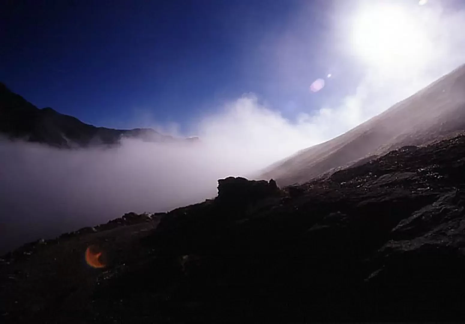
Photo gallery Morning fog at Dondena Sea of fog in VdA Avic lakes, Matterhorn and Rosa Gran Paradiso from the summit
Objective danger: Low Exposed sections: None Signposts: - , , Total time: 6h00' Ascent time: 3h30' Descent time: 2h30' Height at departure: 2110 m (Dondena car park) Height at destination: 3186 m (Mont Glacier) Difference in height: 1076 m Max height reached: 3186 m (Mont Glacier) Length of route: GPS point (UTM 32T): Exposure: East, South Recommended period: June, July, August, September, October Water: Bibliography: L. Zavatta, I Monti di Aosta, l'Avic e Champorcher, L'Escursionista Editore, Rimini, 2001 N.Finco - L. Zavatta, Parco Naturale Mont Avic, L'Escursionista Editore, Rimini, 2006 SUCAI Torino, In cima: 78 normali nel Gran Paradiso, Blu Edizioni, Torino, 1998 P.Giglio - M.Giglio, Valle d'Aosta oltre il sentiero, CdA, Turin, 1993 and later editions Cartography: Parco Naturale Mont Avic, L'Escursionista Editore, Rimini, 2006
Photo gallery


Comments (0)
Sign in to leave a comment