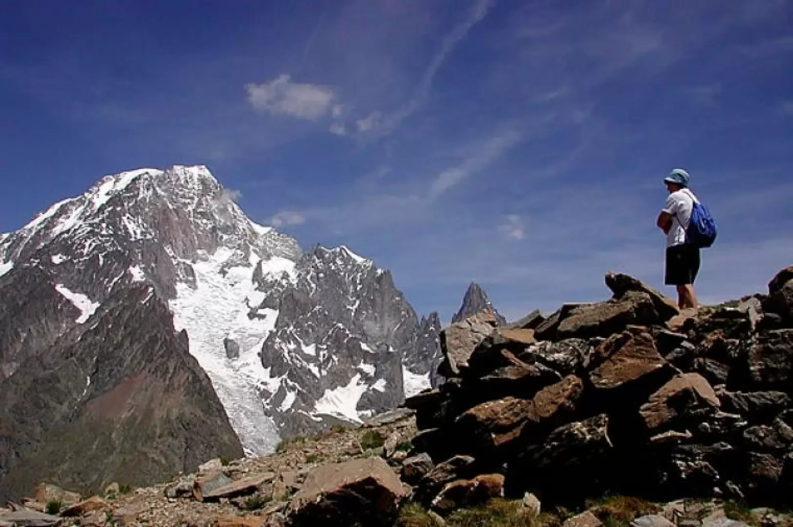
Mont Fortin, from Porassey

Introduction
E Mont Fortin is an exceptional viewpoint over the Mont Blanc group, and in particular over the peaks overlooking the Val Veny; the route here is very long, but not steep, and allows us to admire the spectacular spring flowering of the Campanula tirsoide, and to skirt many small meltwater lakes that offer suggestive views. On the return journey, we cross to Col des Chavannes and from here complete the partially circular tour.
Description
From the Porassey alpine pasture (1869 m), the road continues unpaved but not passable to the unauthorised, and enters the Chavannes valley, with marker (11) and Alta Via 2. We travelled along it in late spring, and it was a riot of flowers; almost immediately, against the low wall, a beautiful specimen of campanula tirsoides, which is only found here in Valle d'Aosta, and higher up will be very present. The road climbs at a moderate gradient, more suited to mountain biking than hiking; behind us, the Rutor and its glaciers, in front, the Aiguille de Trélatête, to the right the pastures below the Berio Blanc, to the left Monte Ouille. We pass the Alpe Berrio Blanc dèsot (2128m) and reach a fork where we turn right, as we will take the road to the left on the return journey, which comes from the Alpe de Chavannes du Fond and Meiten. We continue along the road, while the white spikes of the bellflower sprout among the meadows, and reach the Alpe di Chavannes damon (2421m), taking the path to the left with the marker (11A) that goes through hollows dotted with a myriad of small lakes, and climbs ever so gently, along the ridge line, towards Mont Fortin (2758m, 3h30'). The panorama from the summit of Mont Fortin repays the long walk: in front of us the complete Mont Blanc group, below, the small turquoise pool of the Miage pond, the Veny valley and at the bottom, the Ferret valley, the huts, Elisabetta and Monzino, the Rainetto bivouac and the Cabane de la Noire, to name but a few. After a long contemplative pause (for this excursion, it is best to book a day when the sun is at or close to full blast...), you retrace your steps, with the Lechaud in front of you, and retrace part of the path, then keep to the right at the detours, following the signposts for the Chavannes pass; from a certain point onwards, the path becomes wide, here there were ancient fortifications of which the remains remain, Also the Col des Chavannes (2603m, 4h30'), offers sweeping views of Mont Blanc and also of the Col de la Seigne and the Pyramides Calcaires, right in front of us, where the path quickly disappears into the Veny valley towards the Combal plain. We just enjoy the spectacle and then return to the La Thuile valley, this time along the path that leads to the Chavannes de Fond alp, aiming for the inter-country road that will take us back to the car. Zavatta says he saw stoats under the pass; when we did the tour, there were a lot of people around, so we weren't so lucky, but all the way back along the farm road we were accompanied by the whistles of dozens of marmots, some of which got quite close (2h30', 7h00' in total).