Mont Châtelard, from Mognod


Edited by:
Massimo Martini
Updated at: 14/10/2025
Access
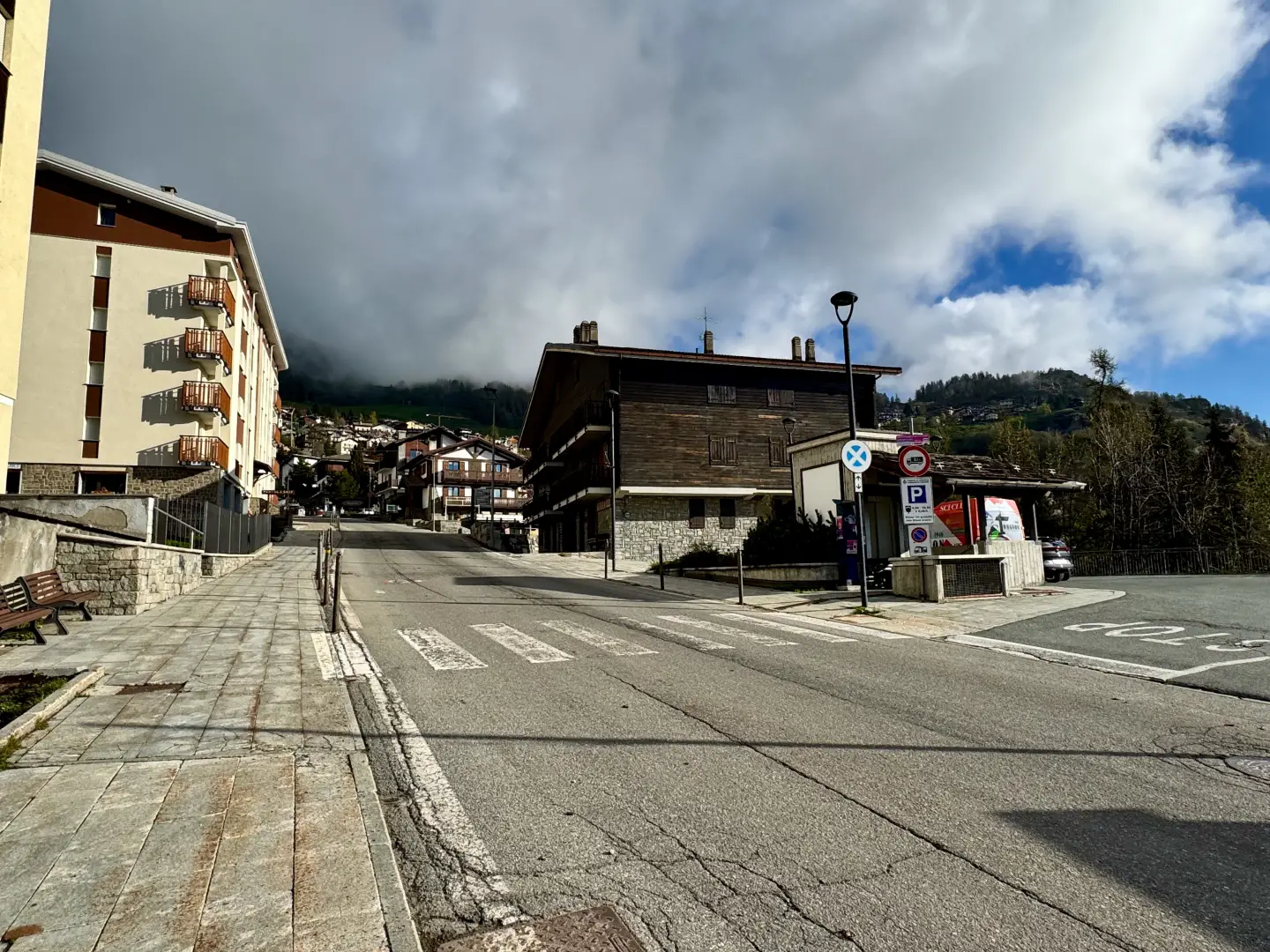
From the motorway exit at Châtillon/Saint-Vincent turn left and follow the main road up to a roundabout, take the second exit and head west on Via E. Chanoux through the centre of Châtillon, cross the Marmore stream and turn right first into Via Menabrea and then Via Martiri di Chesod before turning onto the regional road , the second exit at the characteristic roundabout with the Matterhorn in the middle. Follow the regional road for 8km to Antey-Saint-André where, at Hotel Filey, turn left to take the regional road to Torgnon. Climb up the regional road for about 6 kilometres to reach the main town of Mognod. Continue straight on, following the signs for Septumian. Continue on the little communal road for about 4 kilometres, passing the villages of Chatrian, Pecou and Septumian before reaching the picnic area of Plan Porion: proceed past the area until you reach the Gorzà chairlift parenza area where, in front of the Montagnard restaurant, there is a large free car park 🅿️.
[0h31'] - [19.6km]
How to get there with GMaps
How to get there with Apple Maps
The information provided here was verified at the time of the survey of the route. Before setting off, it is advisable to ensure that no substantial changes have occurred on the route to the starting point. Therefore, we recommend the use of the satellite navigation apps provided by Google or Apple to obtain up-to-date and detailed directions.
Introduction
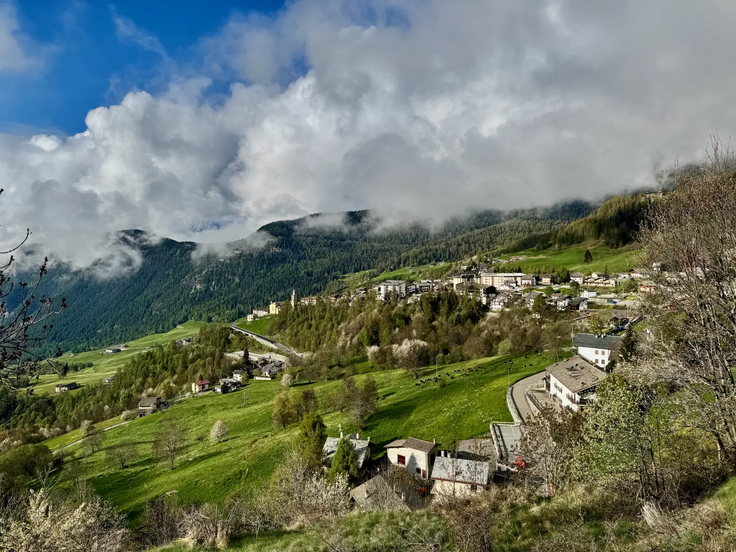
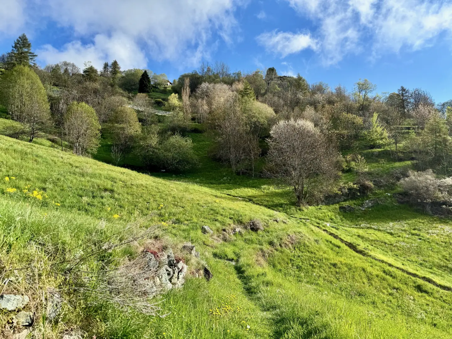
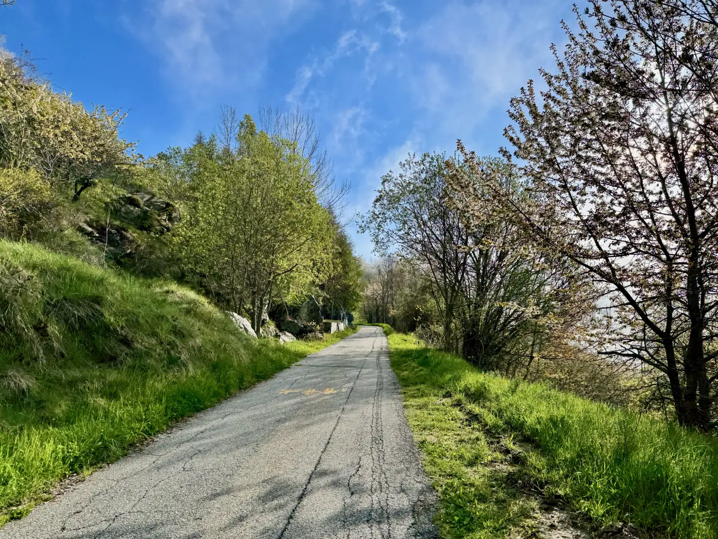
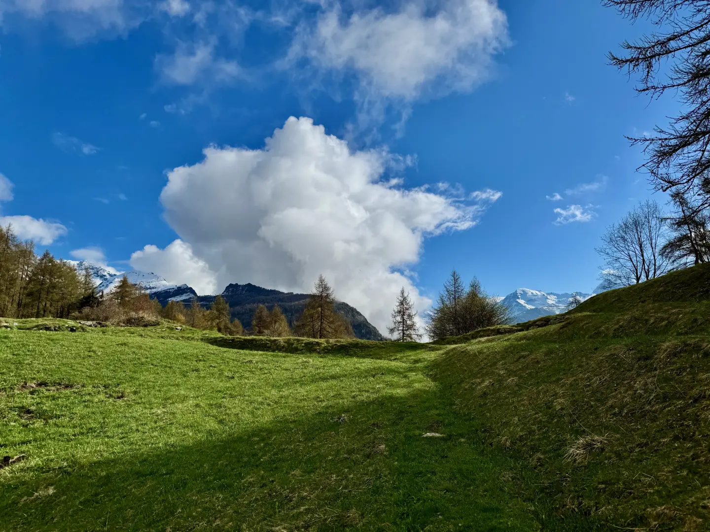
A peaceful path through pastures and larch forests, with wide views of the surrounding mountains, characterises this hike in the municipality of Torgnon. The route, of moderate difficulty, winds its way through alpine villages and open terrain, offering a pleasant immersion in the Aosta Valley landscape.
Leaving from Mognod, the trail crosses meadows and wooded glades, reaching the hamlet of Châté with its simple chapel dedicated to St Joseph. Continuing uphill, you reach the higher pastures, from which there are sweeping views of Valtournenche and the surrounding peaks. The summit of Mont Châtelard, marked by the monument dedicated to Our Lady of the Alpini, is a discreet but suggestive destination, with a view that repays the walk without requiring excessive effort.
The return trip is along the same itinerary, allowing you to savour again the most evocative parts of the route. This is an ideal excursion for those who want a hike at altitude, away from the most frequented paths, with authentic glimpses of rural life and nature in this part of the Aosta Valley.
Description
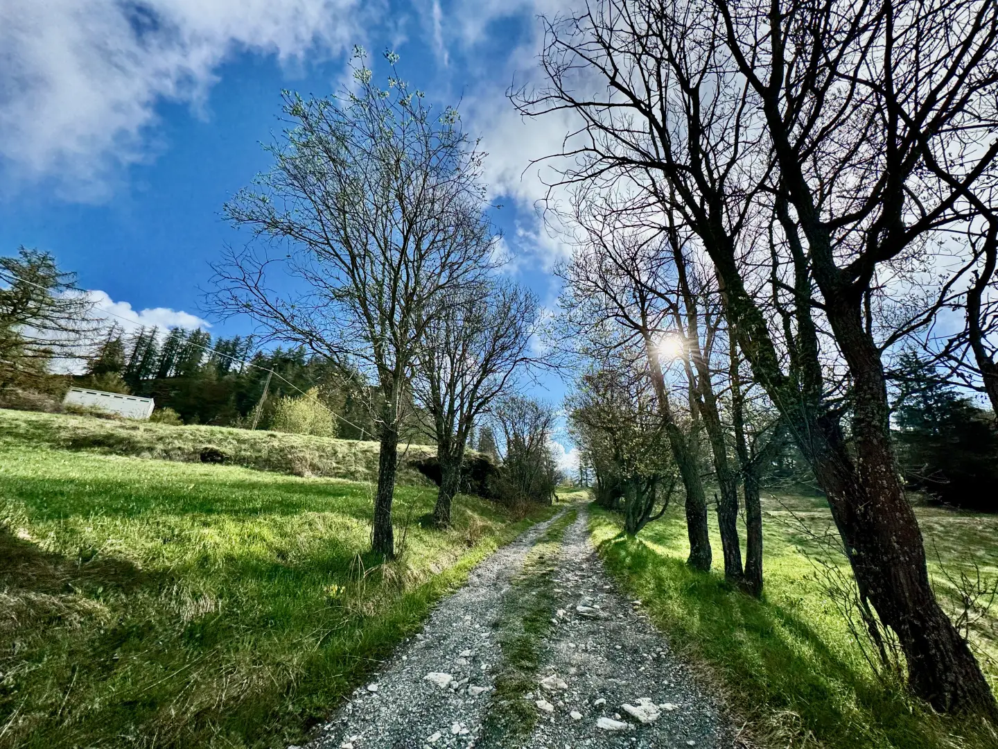
0h00' 0.00km Go up Rue Molinet for about 80 metres, then turn right onto Rue Croisette. After about 350 metres, passing a few buildings, take a path to the left that enters the pastureland. After a short, almost flat stretch, leave the last houses of Cheille and continue slightly uphill through the pleasant pastureland. The path becomes slightly steeper and soon reaches the municipal road to Étirol. Follow the latter to the right for about 200 metres until you reach Croix de Djeun (1614m).
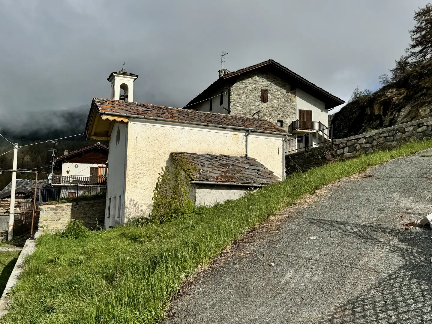
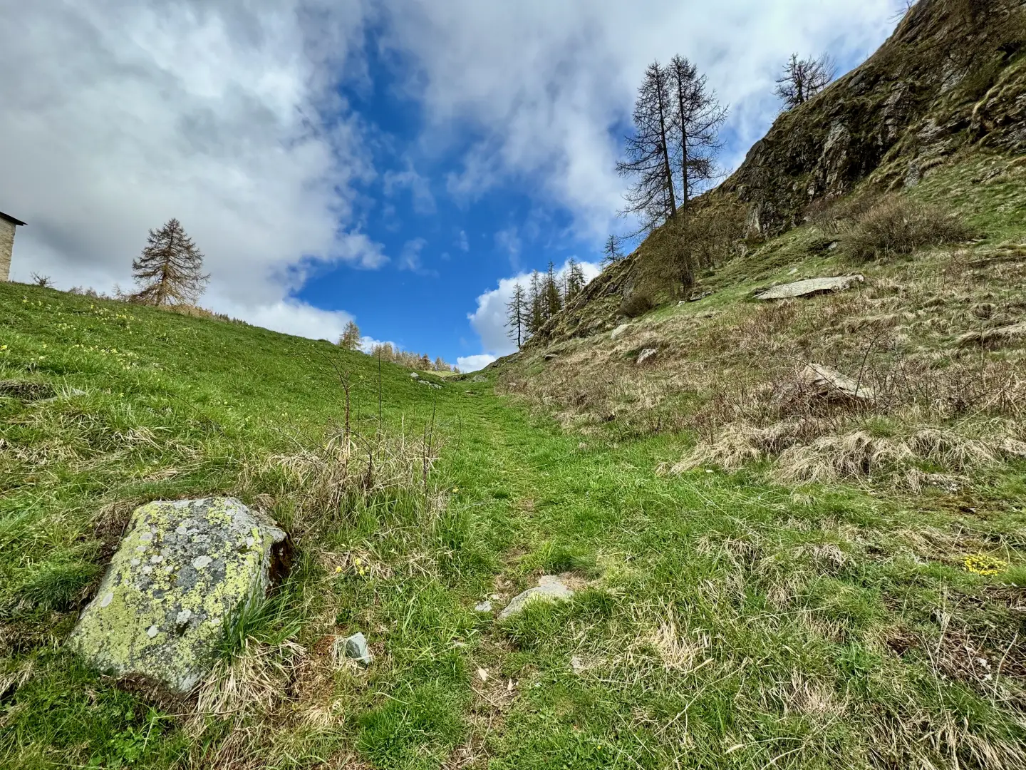
0h30' 1.25km At the hairpin bend, turn left and take the path that climbs briefly up the ridge until it reaches a small plateau with a splendid view of the head of Valtournenche. Continue along the path, bending to the left to join a grassy track that soon leads to the village of Châté (1,697m), where there is a pretty chapel dedicated to St Joseph.
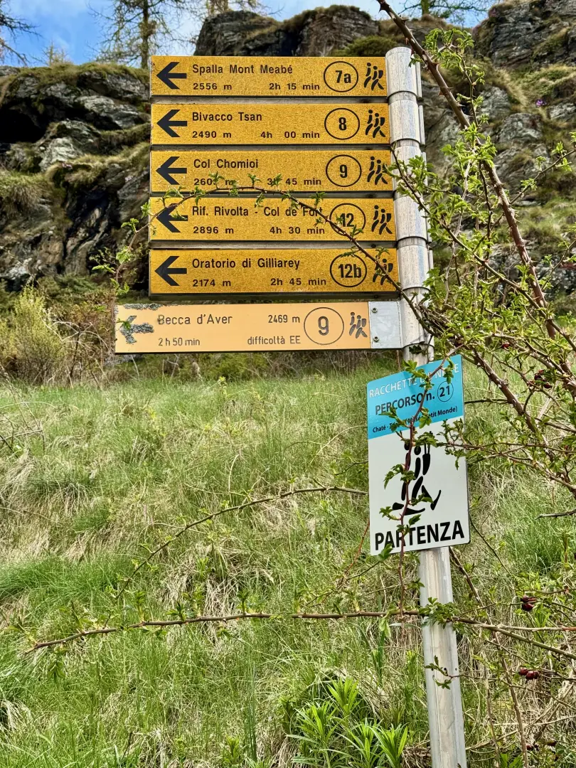
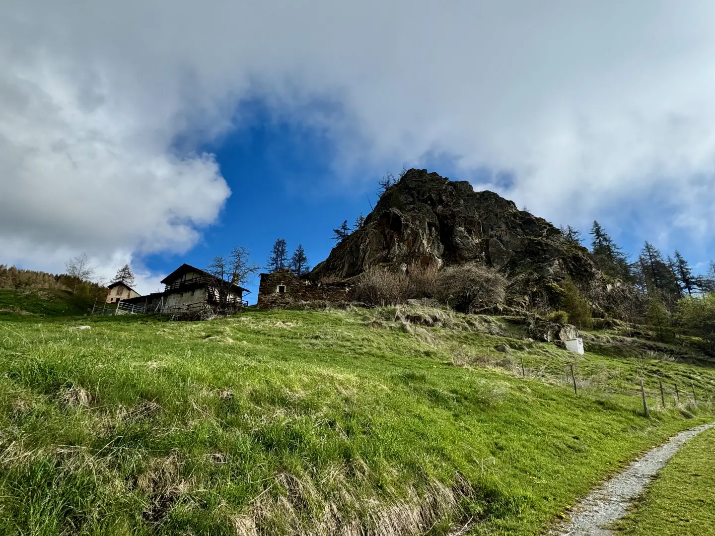
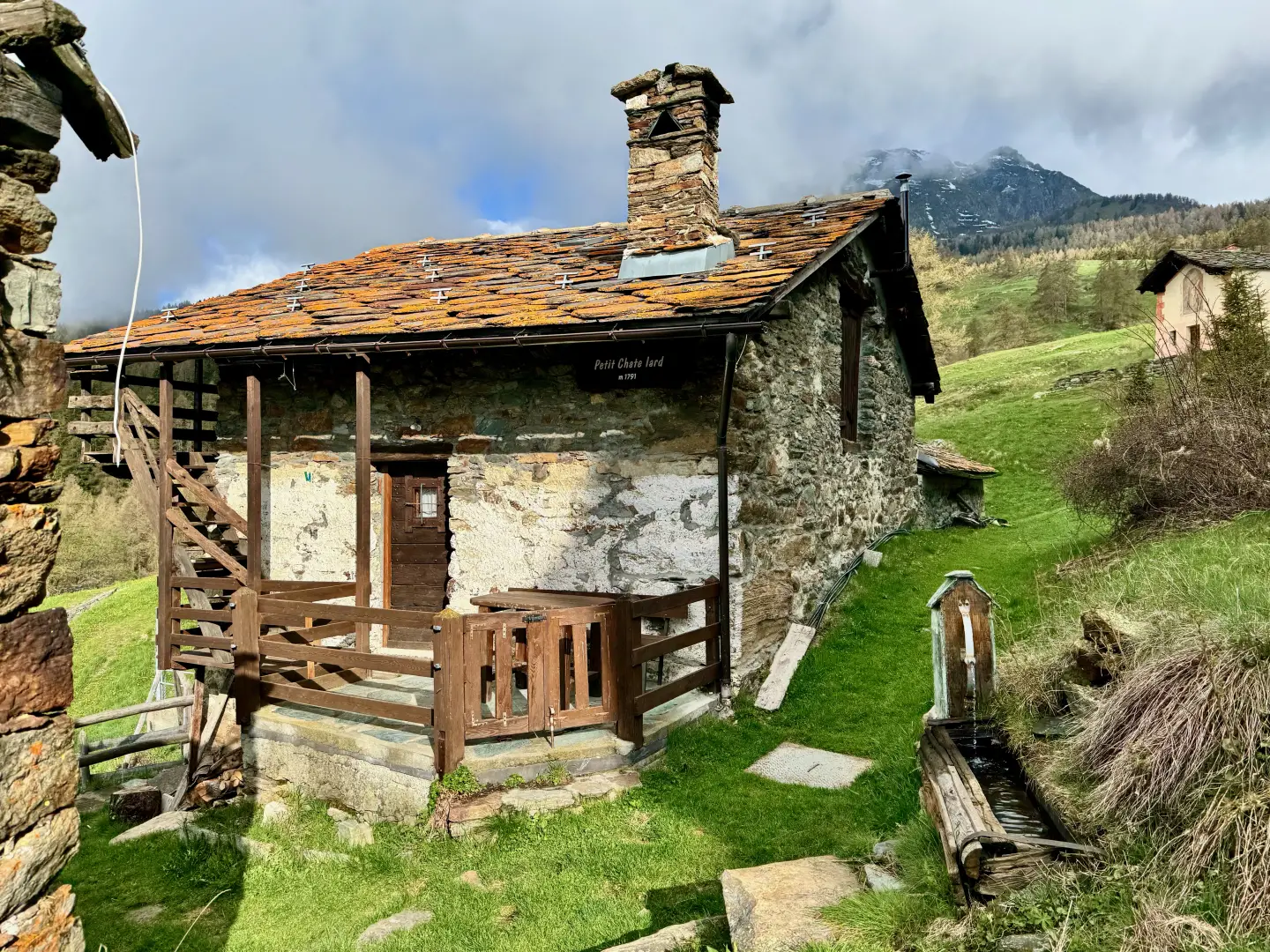
0h50' 1.88km Continue around the chapel and meet the marker indicating the start of the path . Continue on the farm track that, with a few wide bends, climbs up the pleasant pastureland below Mont Châtelard until reaching the few hamlets of Châtelard dessous (1791m) 💧.
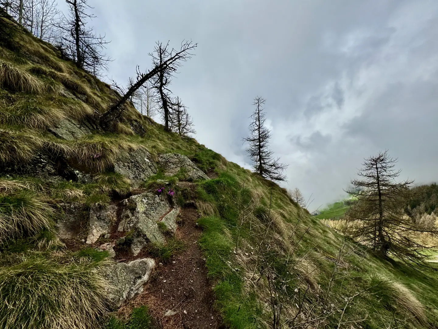
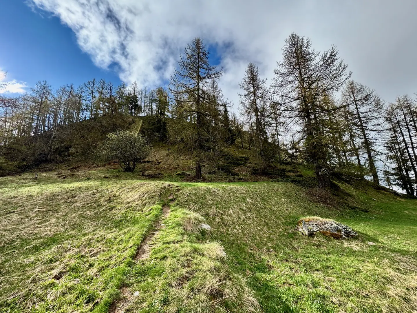
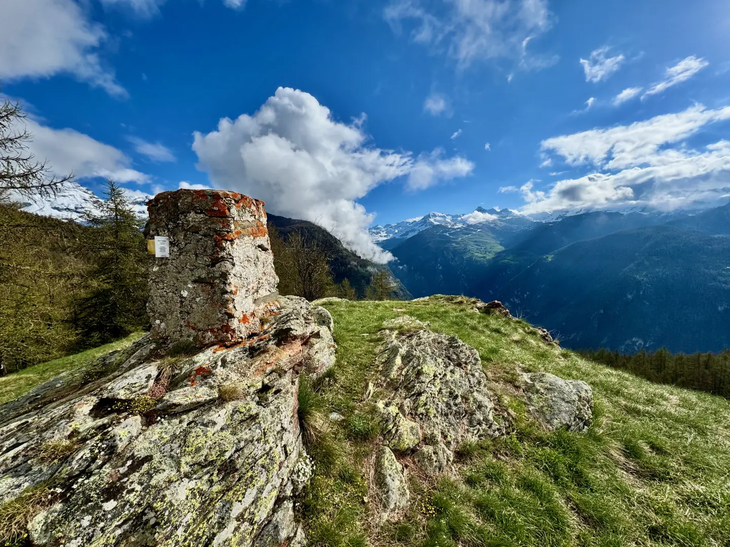
1h10' 2.90km Just before reaching the chapel dedicated to Saint Grato, turn right onto an unmarked path that climbs the pastureland, following the edge of the Mont Châtelard slope. After an initial steeper section, the path becomes less steep until it reaches a small grassy saddle. With a sharp turn to the right, the final section of the hike begins. Cross a small wood of larch (Larix decidua), amidst some common juniper (Juniperus communis), and then exit the wood and complete the ascent with a left turn, until you are in front of the monument dedicated to the Madonna degli Alpini. The actual summit is found a little further on, marked by a concrete memorial stone (1,844m). 1h25' 3.23km .
The return follows the same itinerary as the outward journey, retracing the path through sparse woodland and meadows until returning to the starting point in Mognod (1629m) 0h50' 3.23km .
Points of interest
- Mognod
- Cheille
- Châté
- Châté chapel
- Châtelard dessous
- Mont Châtelard dessous
- Mont Châtelard
- Torgnon
Collections
- hikes departing from Mognod - on the map
- hiking in Torgnon - on the map
- hiking in Valtournenche - on the map
- hiking in the Valtournenche - on the map
- hiking the 1000s in the Aosta Valley - on the map
Photo gallery
Comments (0)
Sign in to leave a comment