Resy Lakes, from the Frachey car park


Edited by:
Ivano Ruffoni
Updated at: 25/10/2025
Access
Leaving the motorway at the Verrès exit, enter the roundabout and take the second exit. Proceed in the direction of the town centre and, after 300m, turn left onto the regional road for Val d'Ayas. Follow the regional road for 16.5 kilometres, passing the villages of Challand-Saint-Victor and Challand-Saint-Anselme, Brusson, Vollon, Extrapieraz, Periasc and Champoluc. After about 30 kilometres you come to the large car park at Frachey (where the Monterosa Ski rack starts): here there is a shuttle service that takes you to the small square in Saint-Jacques. If you arrive before 7am, it is possible to go up a short distance and leave your car in a free car park 🅿️ to the left of the road: in this case you need to add about 500m of walking.
[0h44'] - [30.1km]
How to get there with GMaps
How to get there with Apple Maps
Introduction
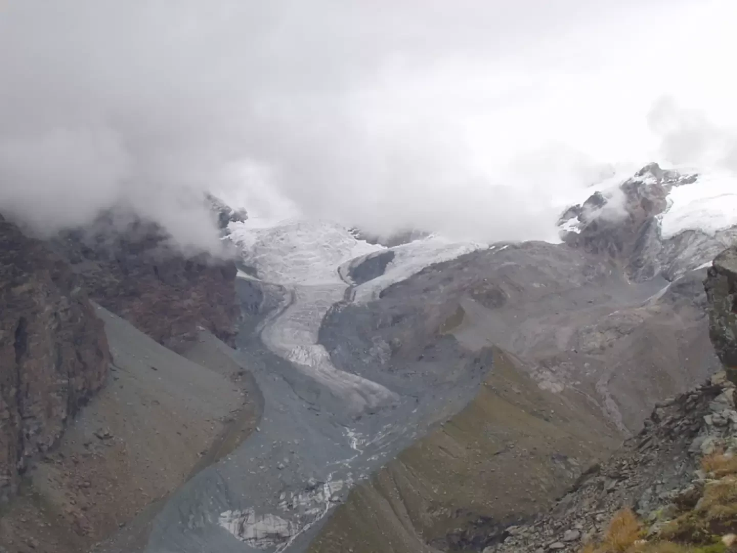
The Palon de Resy is an exceptional panoramic balcony over the Verra glaciers and the Breithorn peaks that close the Val d'Ayas to the north. The peak is easily reached from the south side on a path that snakes up steep grassy slopes at the end. The itinerary ends with a visit to the numerous Resy lakes lying on the rocky plateau at the foot of Mont Rouge (Mont Rouge).
Description
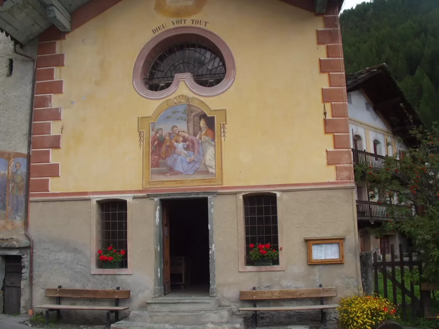
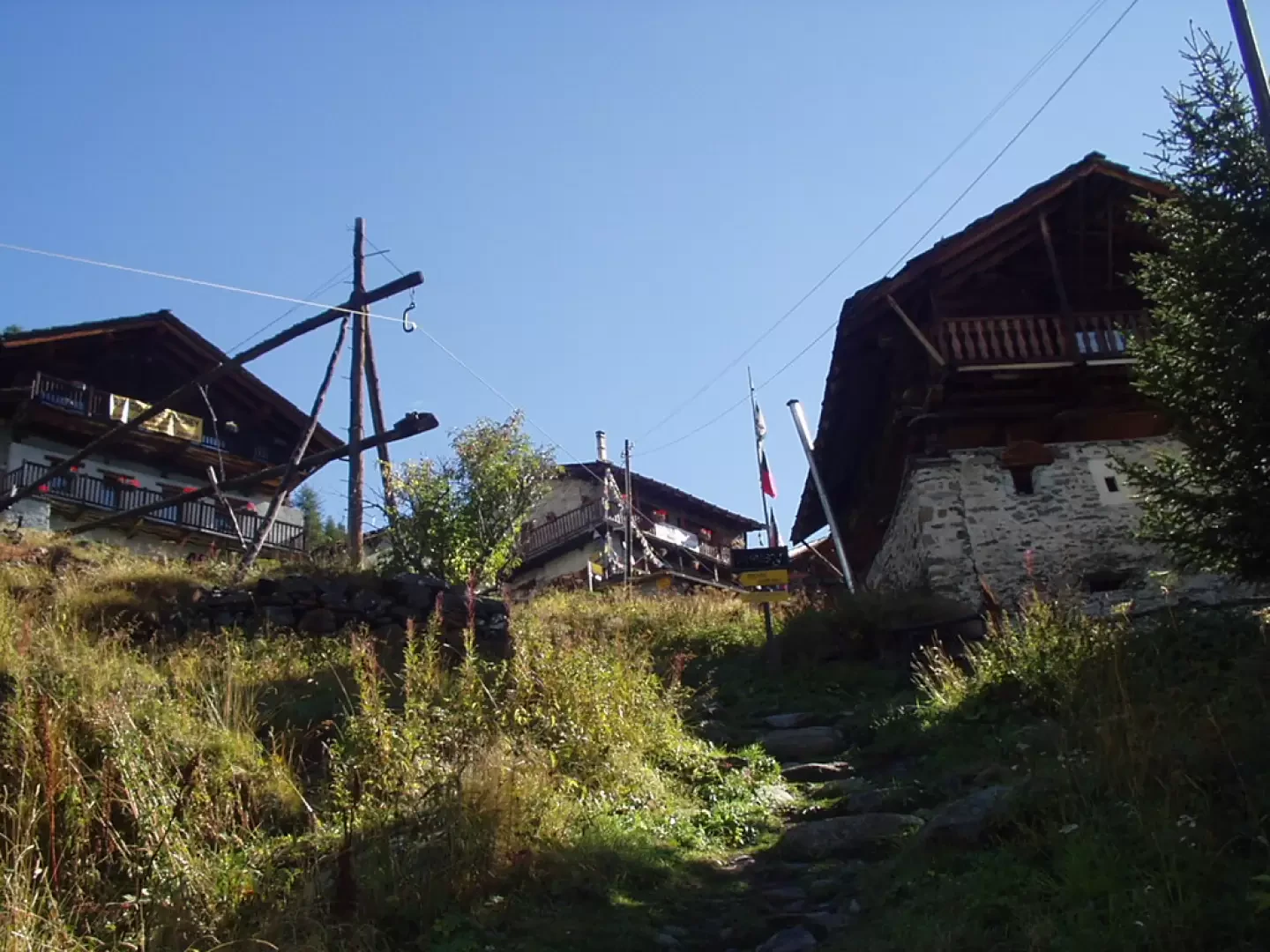
At the square of Saint Jacques (1689m) to the north, pass by the church and immediately turn right, marker
, towards the "Place Abbé Jean-Baptiste Favre". Pass by a fountain and, at the end of the tarmac road, leave the village of Saint-Jacques.
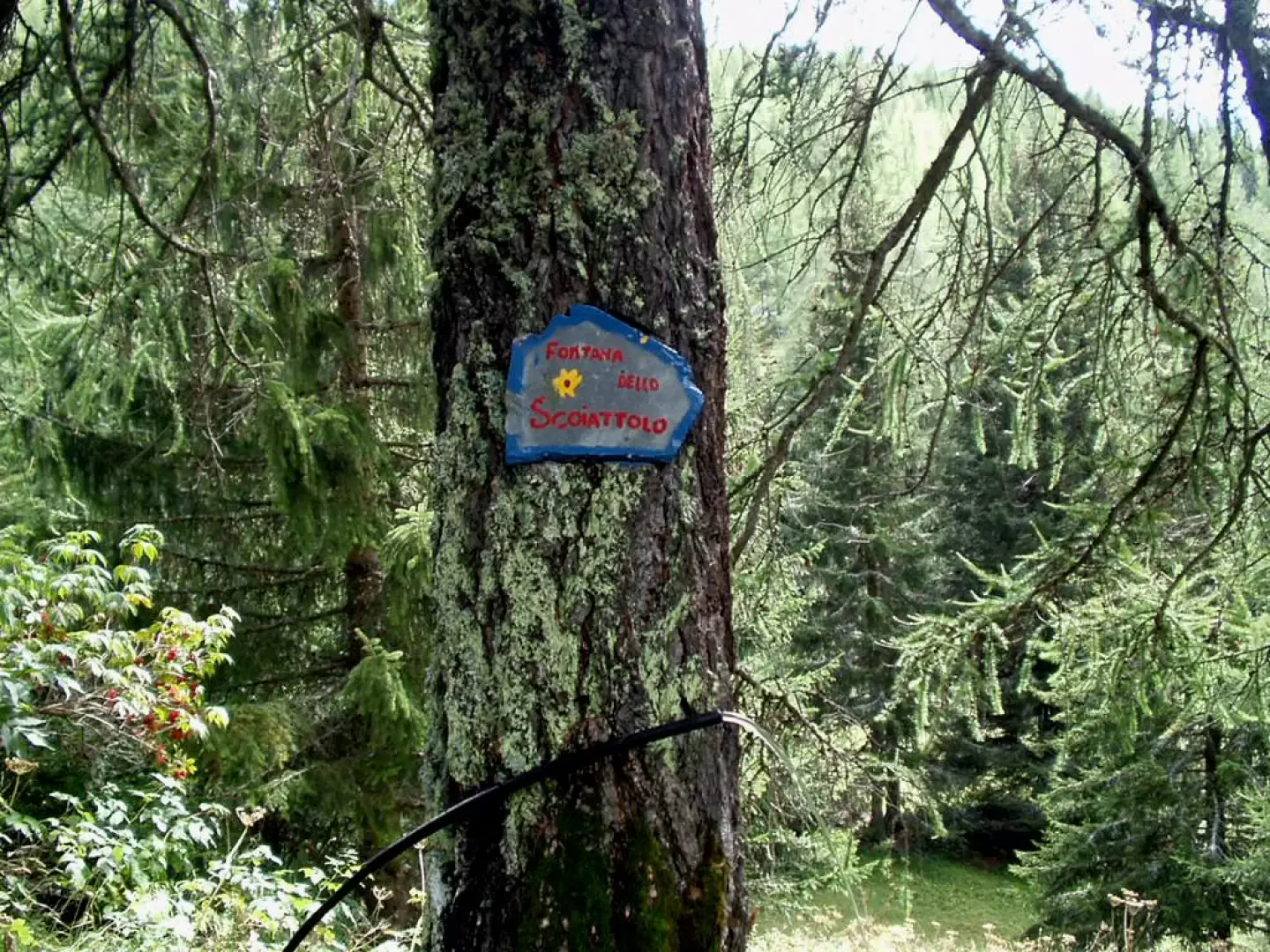
The path, marker (e), climbs steeply in steps and twists and turns in the forest to the private house of Rejache (1,800m, 0h20') where, a little further on on the right, there is a clearing with the "Squirrel Fountain" and a plaque dedicated to a boy who died very young. The path leads outside the forest (offering great views of the Grand Tournalin) and climbs up steep grassy slopes to the two buildings of Alpe Raccard (1911m, 0h30').
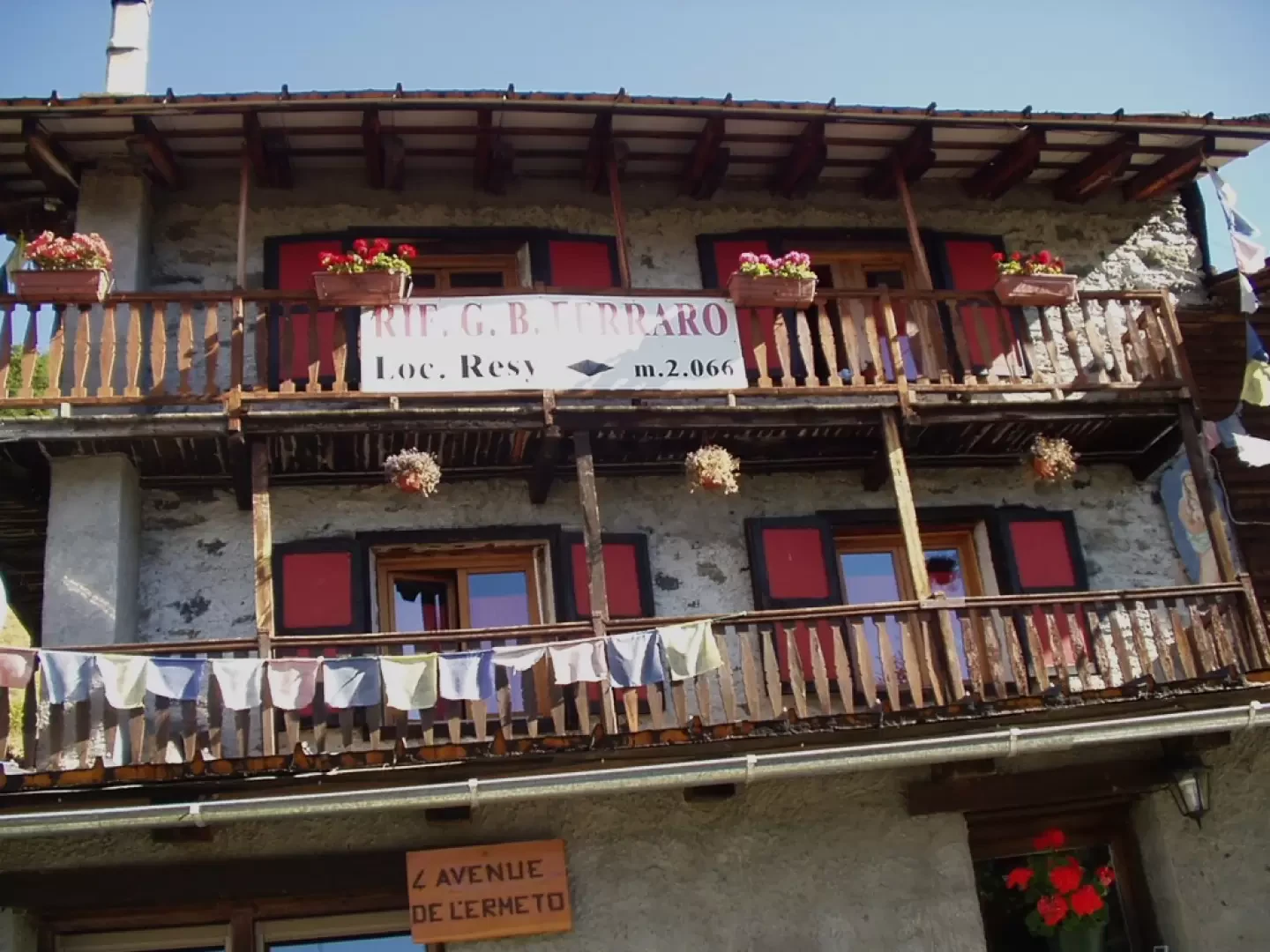
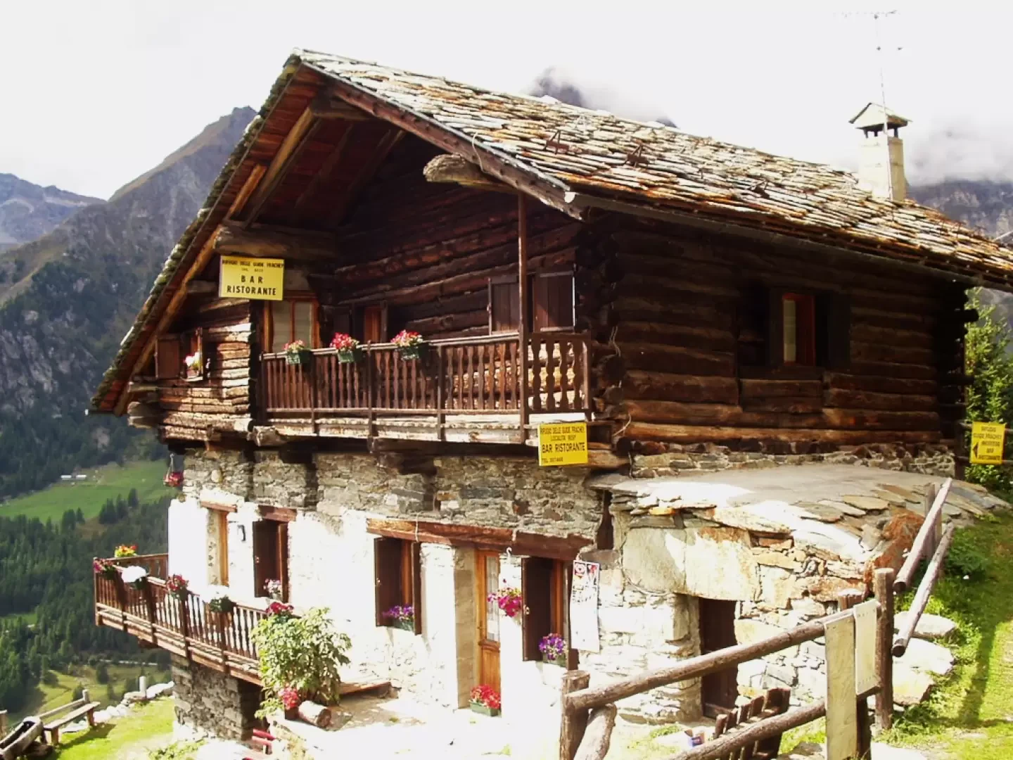
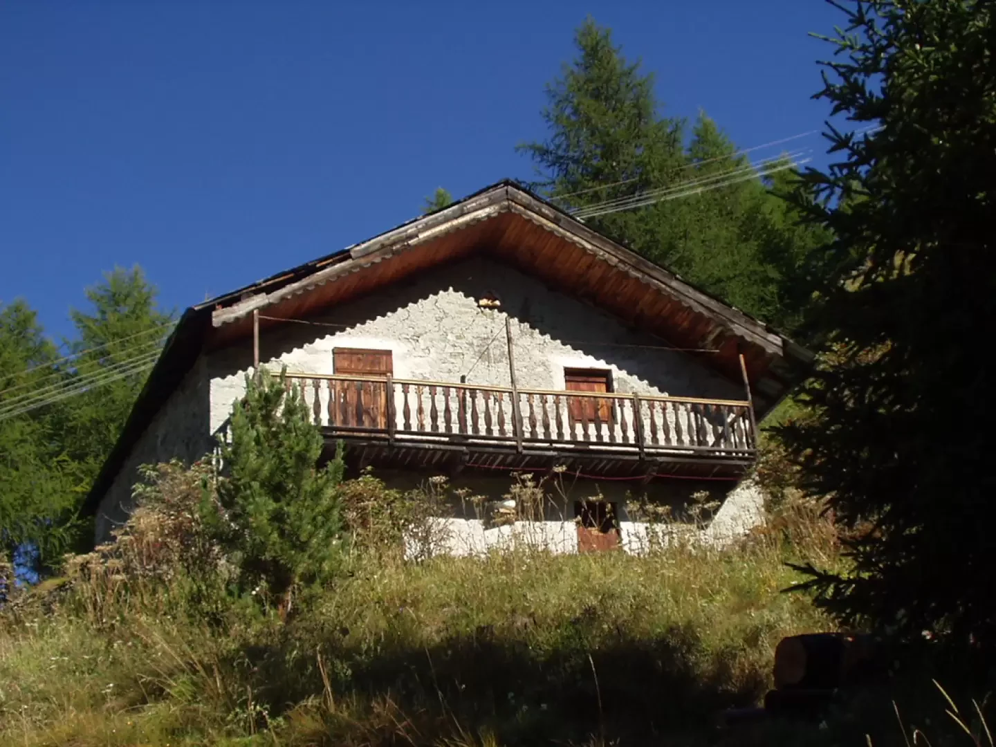
You continue to climb in a sparse forest until you cross the turnoff to Fiery (krämerthal: Via del Montservin) on the left and, after another five minutes' walk, you are at the village of Resy (2072m, 0h55'), a hamlet on the glacial shoulder and one of the highest places on the entire European continent to be inhabited all year round. In the lower part of the village, you can stop at the Refuge des Guides Frachey (2060m, 38 beds) or, in the upper part, at the Refuge Ferraro (2072m, 40 beds).
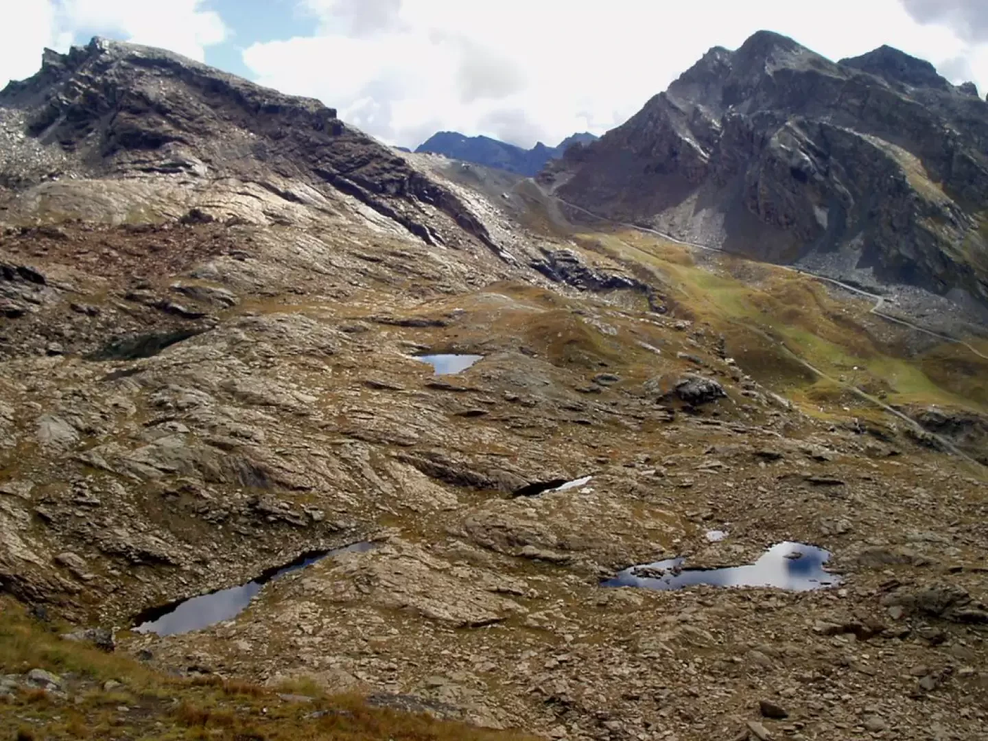
Exiting Resy, you leave the diversions to Charcerioz on the right and Ayas signposted , and continue along the dirt track to the Colle di Bettaforca (Bättfõrcõ, in the Walser dialect of Gressoney), signposts
,
,
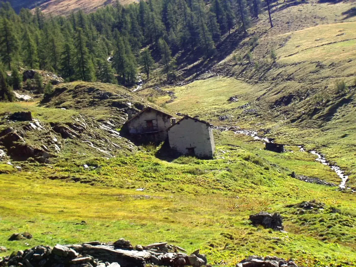
and until you reach Alpe Forca (Forcaz) Inferiore (2142m, 1h10'), partially covered from view by a modest hump.
A few dozen metres before a high-tension pylon, on the left, take the steep path marked
and
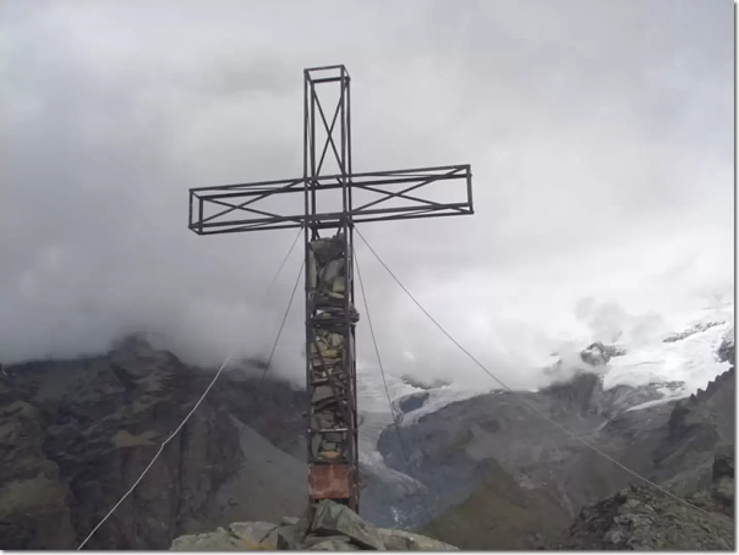
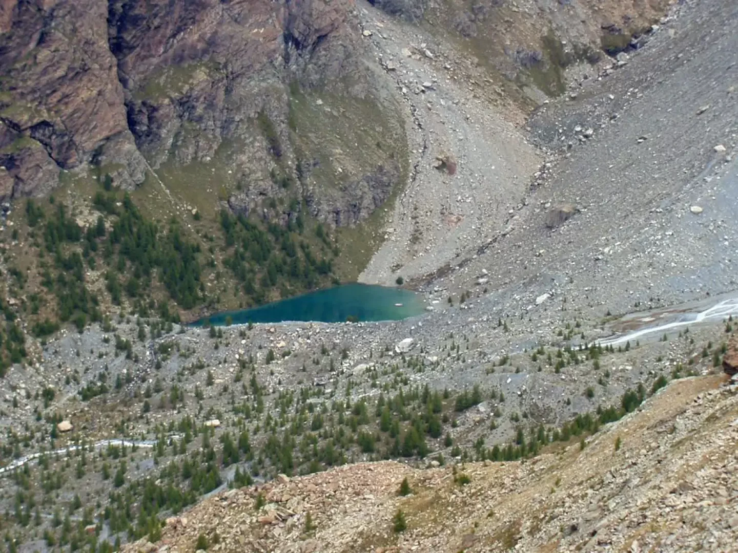
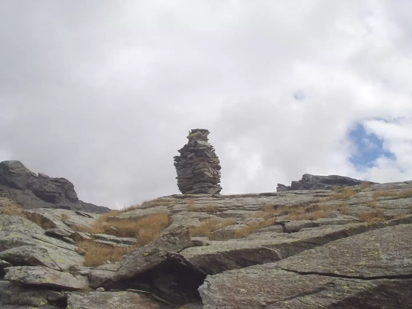
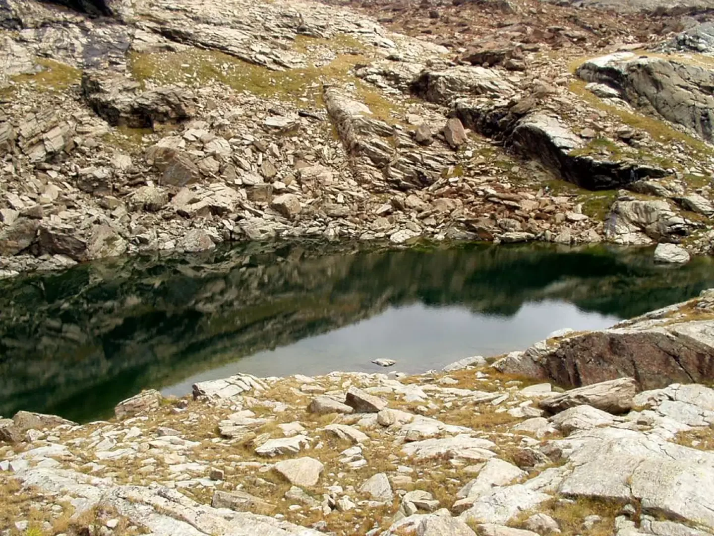
. The path climbs first into a sparse forest and then up steep grassy slopes with great views of the upper Val d'Ayas, the valley that descends from the Gran Sometta and the Cime Bianche (or Bec Carrè) and the Forca valley. Continuing the steep ascent, you catch a glimpse of the cross planted near the Palon di Resy, cross the signpost to the Resy lakes (approx. 2600m) on the right and after another ten minutes or so you are near the cross. The summit of the Palon di Resy (2675m, 2h25m) is a few metres further on. The view of the Verra glaciers, Lake Bleu and the Breithorn peaks that close the Val d'Ayas to the north is simply exceptional. To the west, below, you can see the numerous Resy lakes and the Colle di Bettaforca in the background. We now descend to the fork (8C), 8D) (approx. 2600m) and turn left. Almost on the level, the path goes round the Palon di Resy and then descends with a long diagonal to the rocky plateau where the Resy lakes are located (watch out for the fairly smooth rock just before the end of the diagonal descent; it is advisable to go around it upstream on a secondary path). Then proceed through grass, rock, stones and various debris, following cairns and yellow notches to the lowest lake (2523m). The track then turns left and, passing by other lakes, heads towards the large cairn placed above a rocky hump near the largest, and highest, of the lakes (2572m, 2h55').
The descent follows the same route. We cross the rocky plateau again, ascend to the fork / (2600m, 0h30'), descend back onto the dirt track at Alpe Forca (Forcaz) Inferiore (2142m, 1h05'), turn right onto the dirt track towards Resy (2072m, 1h20') and finally descend to Saint-Jacques (1689m, 2h00').
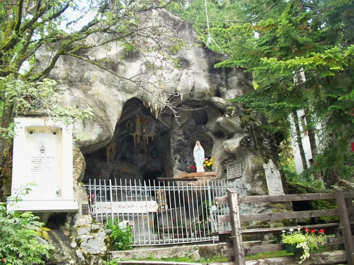
Before leaving the "Place de la Grotte", it is suggested that you observe, on its western side, near a fountain, the characteristic grotto founded in 1914 by Abbot Jean Baptiste Lemonnier, "recteur" at Saint-Jacques, who died there in 1925.
Photo gallery

Comments (0)
Sign in to leave a comment