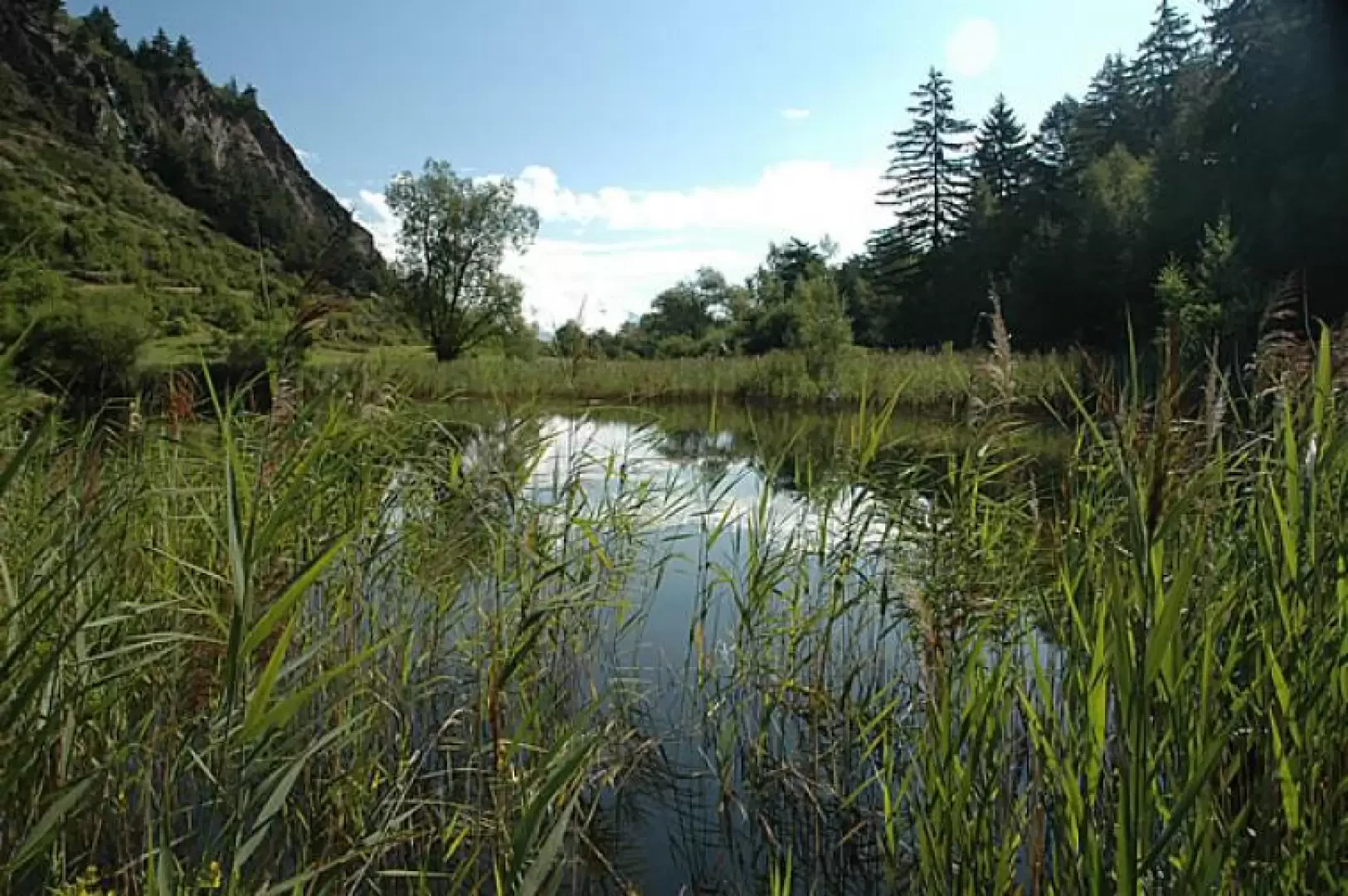
Lake Lolair, from La Ravoire

Access
Lasciare l'autostrada all'uscita Aosta Ovest e proseguire fino all’innesto con la strada statale . Svoltare a sinistra al semaforo e procedere in direzione Courmayeur. Superare gli abitati di Saint-Pierre, Villeneuve e Arvier, quindi, dopo 9,4 chilometri, raggiungere la rotonda dedicata al ciclista Maurice Garin. Prendere la seconda uscita e proseguire su Via Corrado Gex fino a raggiungere l'abitato di Leverogne, un chilometro più avanti. Alla biforcazione, tenere la sinistra e imboccare la strada regionale . Risalire la regionale per 12,7 chilometri fino alla frazione La Ravoire: sulla destra della graziosa cappella si trova un piccolo parcheggio frazionale 🅿️ a uso gratuito.
Il punto di partenza dell'itinerario è servito dai mezzi pubblici. Per consultare gli orari, visita il sito aosta.arriva.it
Distanza e tempo di percorrenza
🕒 Tempo di percorrenza: 17 minuti
📏 Distanza: 12,7 km
Navigazione GPS
📍 Come arrivare con Google Maps
📍 Come arrivare con Apple Maps
ℹ️ Nota importante
Le indicazioni fornite sono state verificate alla data del rilievo dell’itinerario. Prima della partenza, è consigliabile verificare eventuali variazioni del percorso. Per ottenere indicazioni aggiornate e dettagliate, si consiglia l’uso di Google Maps o Apple Maps.
Introduction
Interesting excursion immersed in nature. The proposed itinerary allows you to discover the Lolair Nature Reserve: a special protected wetland area located at the entrance to the Valgrisenche.
Description
Leaving the car in the car park in front of La Ravoire, we set off through the characteristic hamlets of the village. Having passed the last ruins that end the village, the path joins a small farm road, neglects the path to Rochefort on the right and reaches the farm road (to be neglected). The path begins to ascend a beautiful chestnut and ash forest and on several occasions intersects with the farm road. On the way up, there are beautiful panoramic views of the basin of Aosta and the not-too-distant Mont Emilius. After approx. 0h15' you meet the farm road again and follow it for a short distance until the path enters on the right. Now the forest begins to change and fir and Scots pine begin to appear. After a few minutes' walk, we reach a fork in the path: we turn left and enter a paved path. The path now becomes gentler, while the [[Montmayeur Castle]] can be glimpsed at the bottom of the valley. Once you reach the farm road again, follow it as far as a small votive shrine (1167m; 0h30'): here the path forks, with path (20) to the right leading to Baise Pierre, and path (3) to the left towards the lake. After encountering an initial explanatory panel on the characteristics of the nature reserve, you come to a beautiful ruin and then enter a cool fir forest bordering the lake. By now, the destination is near: the reeds surround the lake, which can be approached from the south, crossing a green meadow (1184m, 0h45').
The return can be made along the same route as the outward journey or by descending along the farm road crossed several times on the way up.
Punti di Interesse
- La Ravoire
- Lago di Lolair