Lake Liet, from Monteil


Edited by:
Giancarlo Beretta
Updated at: 03/09/2024
Access
Take the Turin-Aosta motorway and exit at the Pont St. Martin tollgate, where you turn left in the direction of Aosta. Once you enter the village of Donnas, turn left and follow the signs for Clapey and Monteil. Once in this hamlet you can leave your car in the convenient car park at the entrance to the village.
Introduction
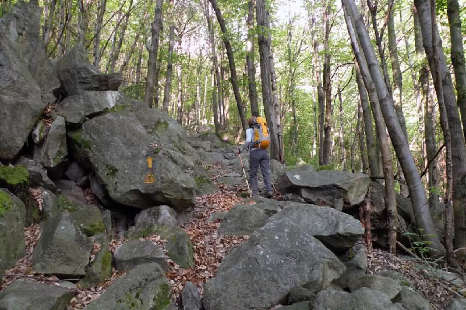
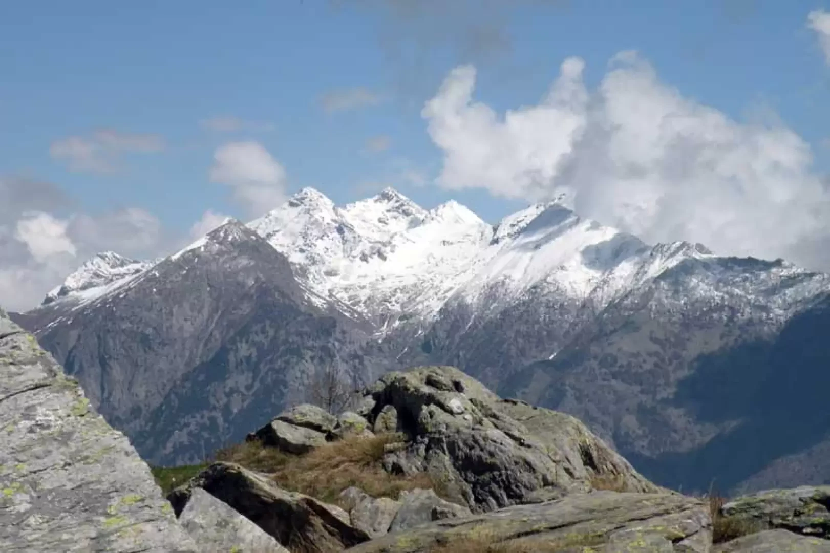
The Liet is a small, pretty lake originating from the melting of snow and is set in a rocky basin below the alpine pasture of the same name at the foot of the Bec delle Strie, with a somewhat closed panorama that opens up considerably towards the east to the nearby huts. The long ascent takes place almost entirely in silent forests and valleys of unspoilt nature that alone repay the effort; there is only a short stretch of road leading from Donnes to the bridge over the Bonze stream, and for the rest only a few mountain pastures and chestnut, birch, hazel and beech trees. The path, which is always well marked and indicated by signs at the crossroads and by numerous yellow markers, is well maintained with some stretches of wide mule-track; given the altitude, it is advisable to do this excursion at the beginning of the season or in the autumn and, if you want to reduce the difference in height a little, you can drive up to Donnes.
Description
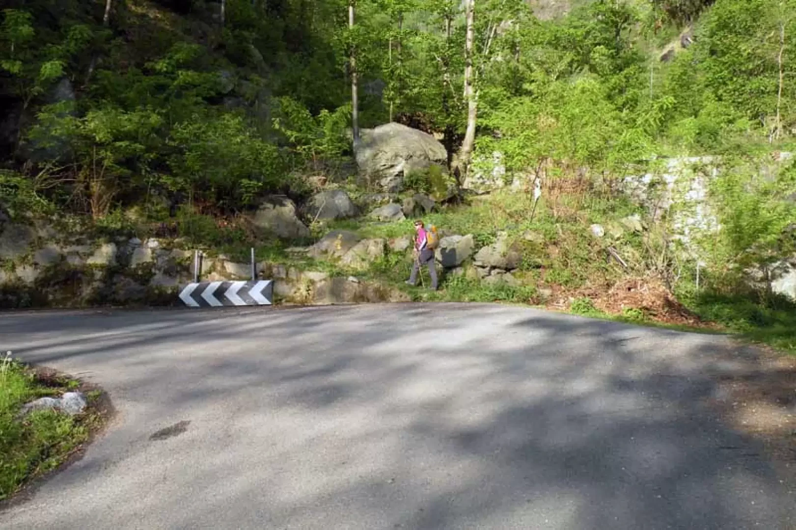
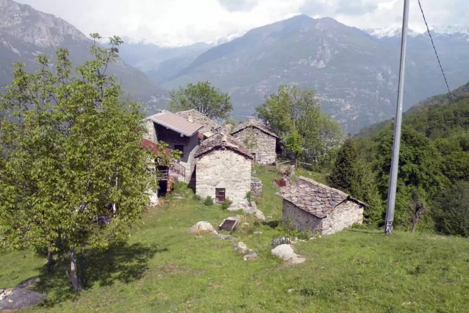
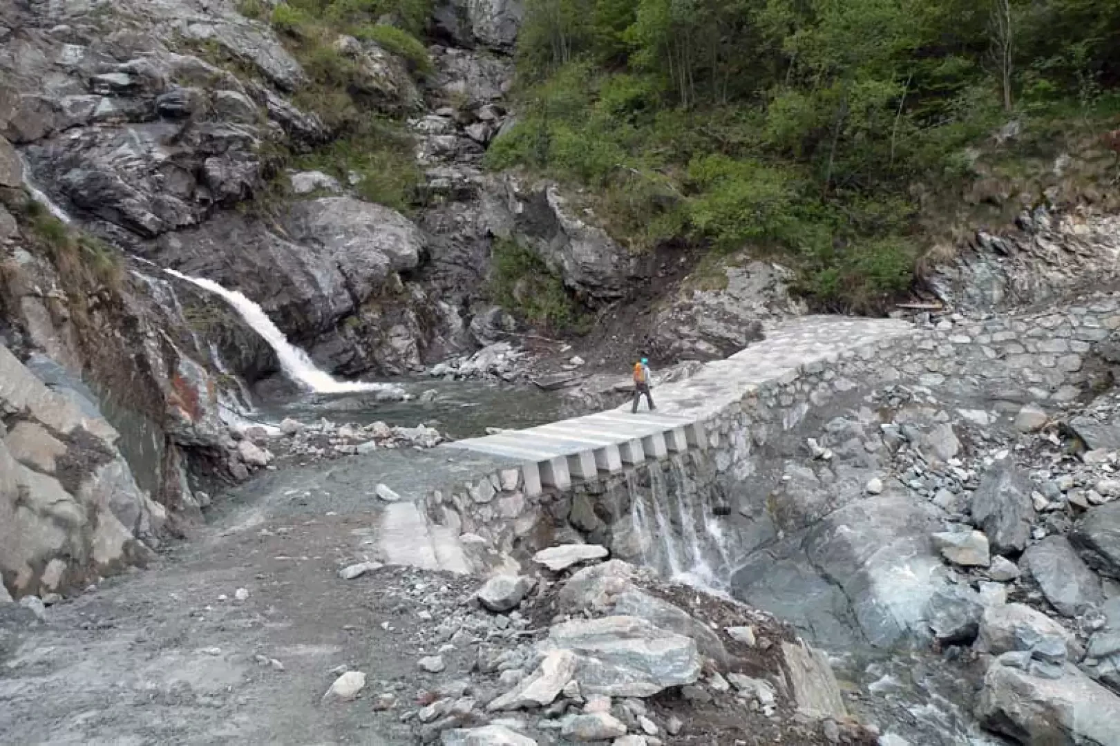
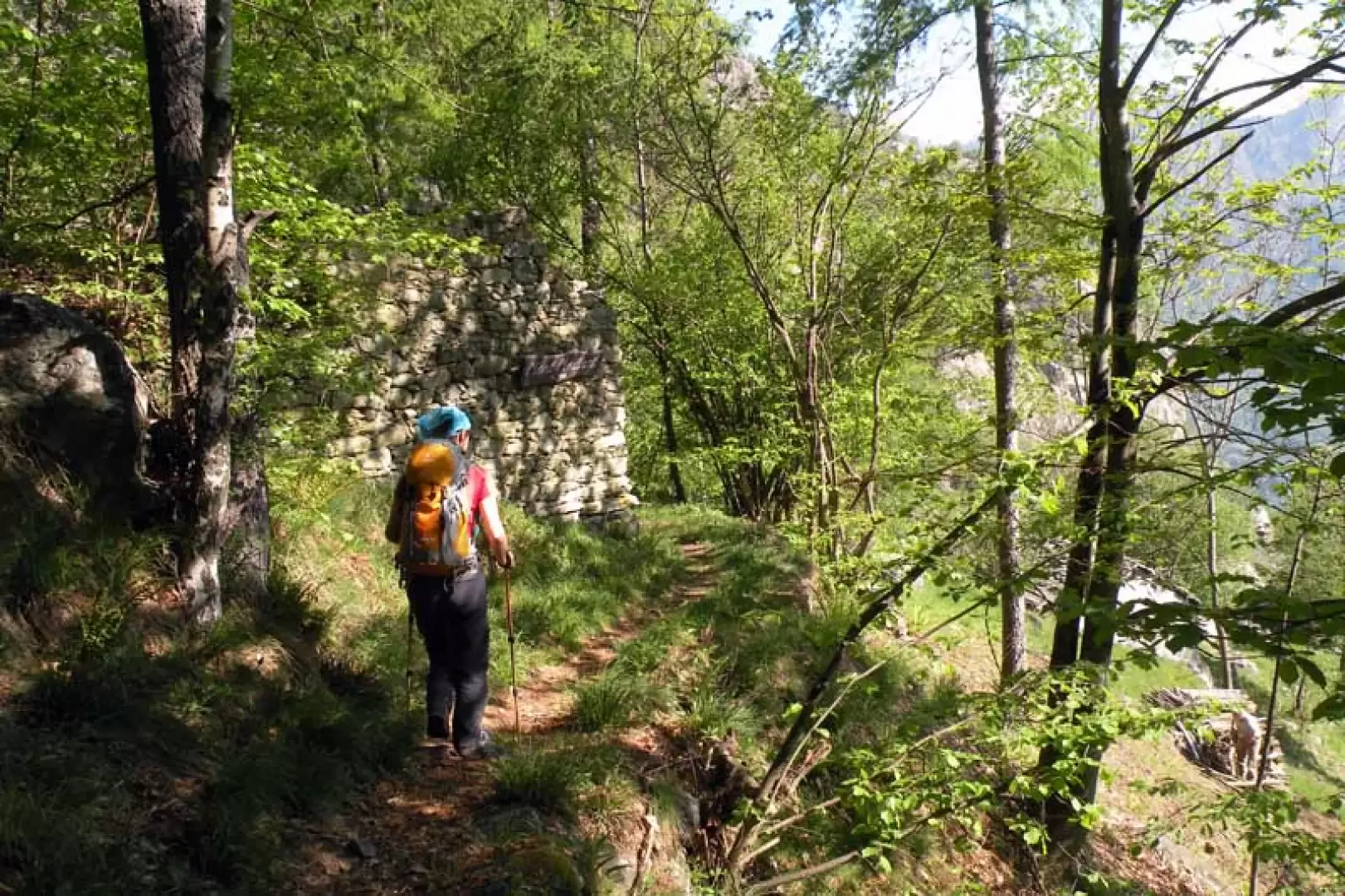
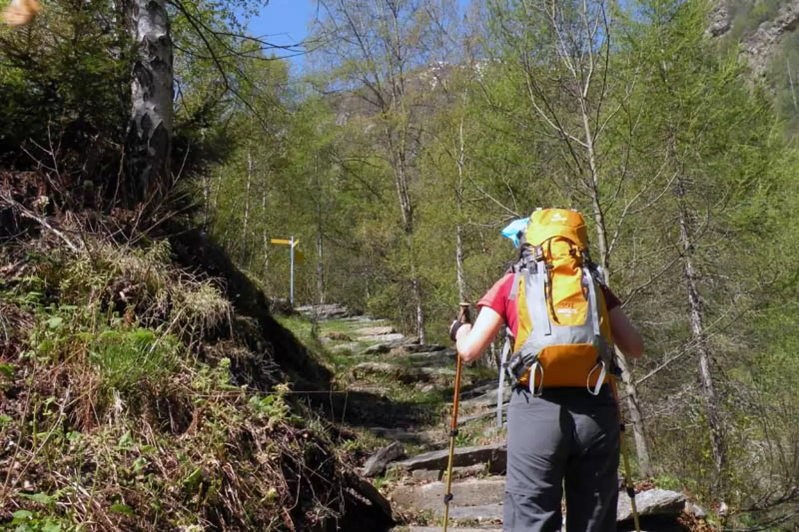
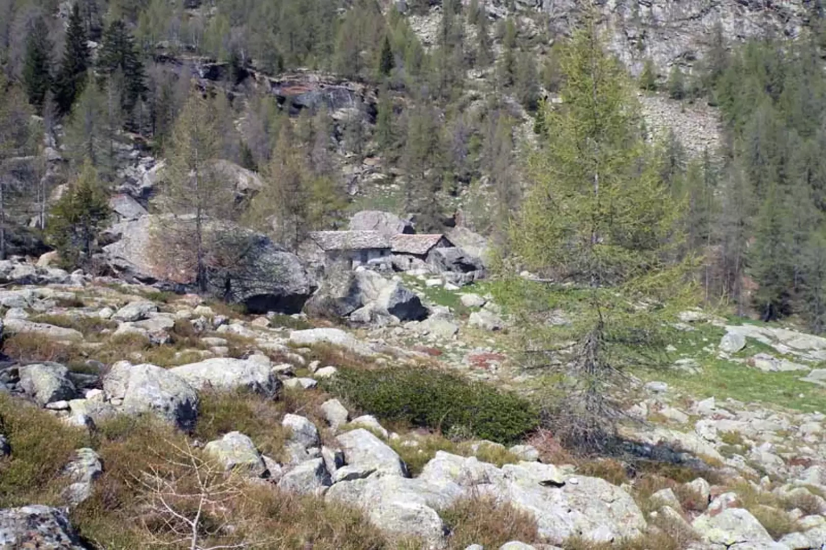
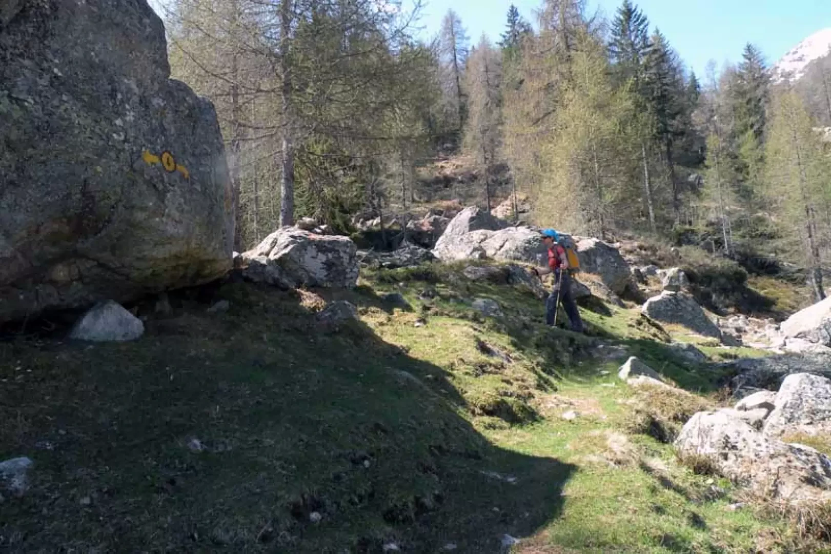
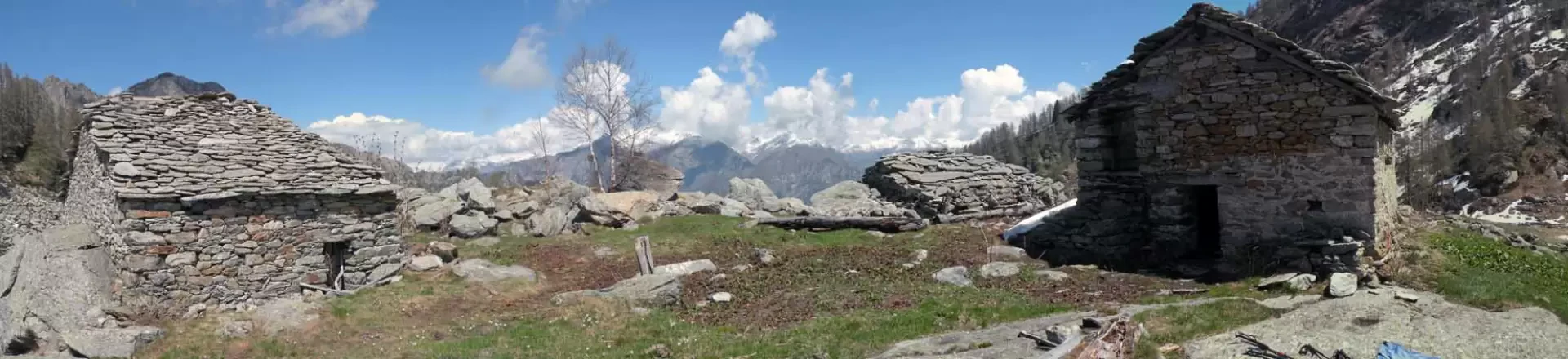
From the car park, we reach a large tourist board in the area where the path begins near the signposts. We pass between the houses and cross the bed of a dried-up stream on the left where, further on, we set foot on the asphalt road, which we follow briefly for a couple of bends until we reach the diversions signposted by a yellow marker that puts us back on the path; we ascend between chestnut and beech trees in a stony area with an almost straight course and with fairly steep stretches that immediately make us gain altitude. At the end of the forest, we come to more open spaces where we find the small village of Donnes (888 m), situated among the pastures in a panoramic position towards the lower valley and the Dames de Challand group; here we climb up towards the upper houses where we find the signposts on the side of the road, which we follow again, immediately passing a fork in the road, which is also signposted, at which we continue straight on. The road now becomes narrower and, losing a little altitude, cuts across the side of the mountain to reach a pool of water fed by the Bonze stream waterfall, which is crossed by crossing a newly built bridge. Cross the bridge and descend a few metres to rejoin the path, which again enters the beautiful forest and begins to climb rather steeply, passing by the ruins of Mont Meillant (1,080 m) and around a wide slope that leads to the entrance of another wild and impervious valley. The path continues with little slope, passing over smooth rocky terrain below another small waterfall and then, after passing a small isolated hut, reaches the Mognissola alpine pasture (1296 m), where above the huts there is a fork signposted by posts. Continuing on the beautiful mule track, you soon reach the small pastureland where the Bochet alpine pastureland (1555 m) is located, which remains a little below the path and where there is another fork, well signposted by yellow markers on a large boulder, at which you turn left; With the path, which for a short initial stretch blurs a little with the grassy terrain, you continue on a slight incline around a small wooded spur and, having passed a stretch between large stones, you come in sight of the Liet huts below which is the lake of the same name.
Photo gallery
Comments (0)
Sign in to leave a comment