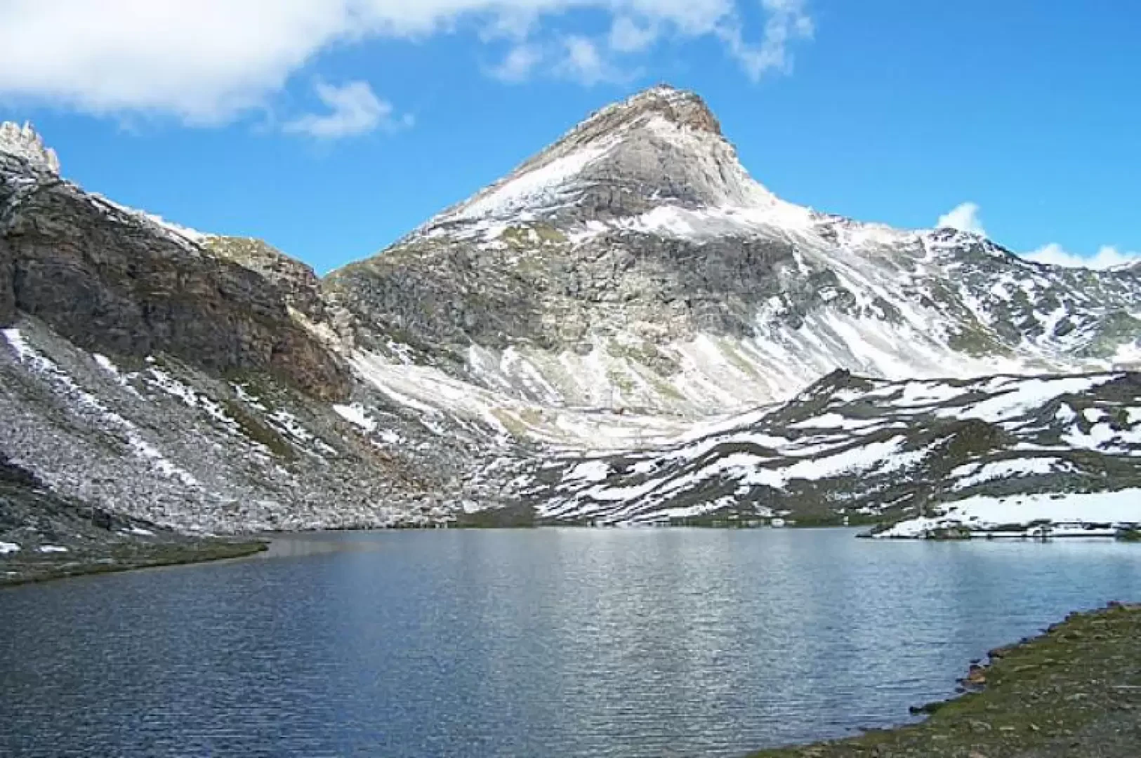
Lacs d'Aventine, from the Frachey car park

Access
Leaving the motorway at the Verrès exit, enter the roundabout and take the second exit. Proceed in the direction of the town centre and, after 300m, turn left onto the regional road for Val d'Ayas. Follow the regional road for 16.5 kilometres, passing the villages of Challand-Saint-Victor and Challand-Saint-Anselme, Brusson, Vollon, Extrapieraz, Periasc and Champoluc. After about 30 kilometres you come to the large car park at Frachey (where the Monterosa Ski rack starts): here there is a shuttle service that takes you to the small square in Saint-Jacques. If you arrive before 7am, it is possible to go up a short distance and leave your car in a free car park 🅿️ to the left of the road: in this case you need to add about 500m of walking.
[0h44'] - [30.1km]
How to get there with GMaps
How to get there with Apple Maps
Introduction
A quiet hike that allows you to see, in addition to the lakes, little-known slopes of the Grand Tournalin, Mont Roisetta up to the Gran Sometta and the Gobba di Rollin glacier on the opposite side of the valley.
Description
From the little square, go up the tarmac road for a short distance, where you will come across the signposts that lead you to its end; when you come to a small bridge, cross it and immediately to the right, the path begins. Continue on the wide mule track that climbs parallel to it until you reach a fork just below the village of Fiéry (1878m).
You pass the little church, turn right and pass between it and the old Bellevue hotel. A little further on is a second fork in the road: having ignored the right-hand fork to the Blue Lake, follow the left-hand fork through a larch grove and across a footbridge over a stream (signposted "Cime Bianche"). We now climb transversally in hairpin bends on the ridge to the left to reach a grassy plateau where a branch-off of the trail is located on a boulder; following the arrow indicating to continue to the left and passing a signpost, we come to the ruins of an alpine pasture where the trail turns right to pass by the Aventine Alp (2182m) and we now climb more steeply up the steep ridge to the right. The trail continues to climb between small valleys and plateaus with peat bogs, skirting a small stream and reaching the Masé alpine pasture (2403m), it turns left, enters a small gully and again between small valleys and plateaus reaches a stream of greater capacity where there is a fork. We climb up the right-hand path, which, keeping to the right of the stream itself, takes us in a few minutes to the shores of the Gran Lago (2809m), which is actually made up of two basins: the first one we come across is the smaller one, the larger one is found a few metres further on by deviating slightly to the right. To reach Lake Rollin, leave the obvious path that climbs straight up, just after crossing its outlet, towards the Col delle Cime Bianche, and turn left onto a track that goes halfway up the hillside and, with some ups and downs between small grassy bumps where the track gets a little lost, shortly takes us to intersect the path (6B); We now follow, deviating decisively to the right, the little stone cairns and the few yellow markers alternating with the old red ones that will guide us towards a ridge where a little stream flows, from which we can see the lower col of the Cime Bianche and some ski lifts. Here, descending a few metres, we arrive at Lake Rollin. Going downhill, retrace the path (6B), continuing past the point that had intersected with the track coming from the Gran Lago until reaching the fork in the path. Now find the best spot to ford the stream and rejoin the path taken on the outward journey to reach Saint-Jacques.
.