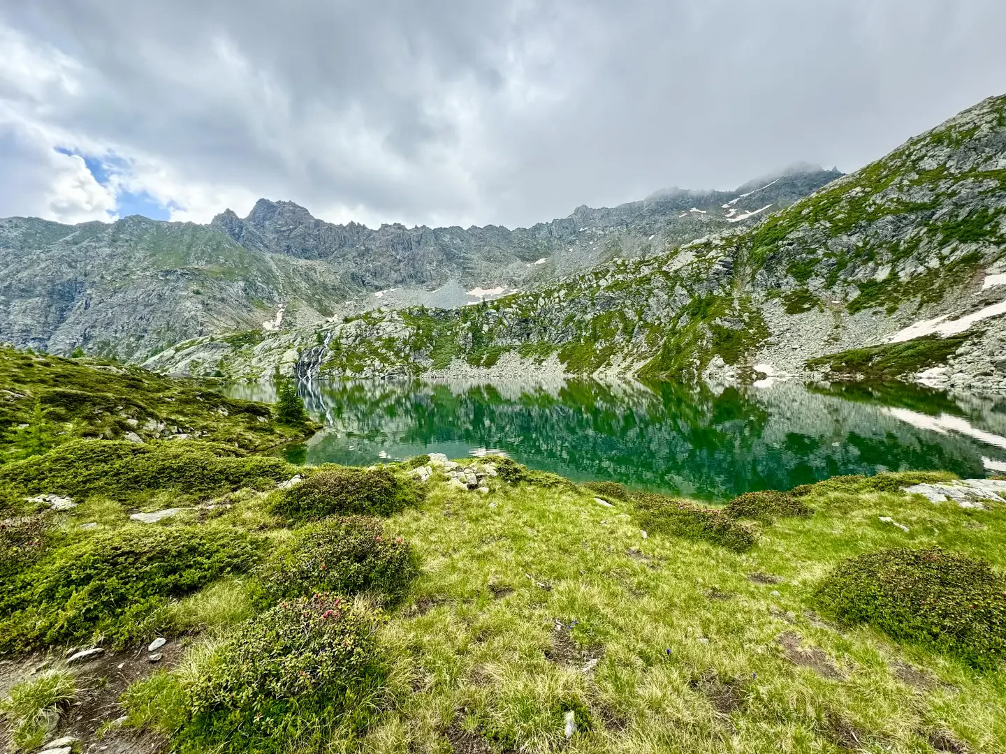
Lac de Vercoche, from Chardonney

Access
Leaving the motorway at the Pont-Saint-Martin toll booth, after 100m turn left to follow the state road in the direction of Aosta. After 500 metres, at the roundabout, take the second exit and continue on the state road for 3 kilometres to the next roundabout. Take the second exit and follow the regional road in the Champorcher Valley. Continue on the regional road for 14.7 kilometres up the valley and through the villages of Hône and Pontboset before reaching Château, the centre of Champorcher. Neglect the road to the right for Dondena and continue for another 1 kilometre or so until you reach the large car park at Chardonney 🅿️ where you can leave your car.
[0h32'] - [22.2km]
How to get there with GMaps
How to get there with Apple Maps
The directions provided here were verified at the time of the route survey. Before setting off, it is advisable to ensure that no substantial changes have occurred on the route to the starting point. We therefore recommend the use of the satellite navigation apps provided by Google or Apple for up-to-date and detailed directions.
Introduction
The Lac de Vercoche is a beautiful lake of glacial origin set among the rocks. It lies on the southern edge of the Champorcher Valley. It can be reached from two points: from Outre l'Eve and from Chardonney. Here we describe the latter route.
Description
0h00' 0.00km From the car park, turn left along the small road leading to Ronchas, where you will come across a signpost with directions to Alta Via 2.
0h02' 0.09km Turn left, cross the Ayasse stream and continue along a small road with a paved surface that runs slightly uphill alongside the pastures. After a stretch with a wooden railing, you will reach a new marker post.
0h07' 0.27km Keep left, still on the little road, following the signs for Lake Vercoche (2h45'). After a turn to the south, the road climbs the ridge of Champ Rion, keeping to the valley of the Lari torrent impluvium. A few bends allow you to gain altitude before entering the pleasant clearing of Clos de Creux. There are more hairpin bends and shortly afterwards you find yourself among the pastures of Praz Rion (1756m) and a little further on you reach a fork at an altitude of 1820m.
1h20' 2.79km Keep up the climb and climb a steep section of road and shortly afterwards you reach the scattered cottages of Laris (1903m). The road flattens out and then climbs a short hump where a giant heart is encountered and, after a short descent and subsequent rapid ascent, you reach the arrival of the cable car from Chardonney and the Laris restaurant (1932m).
1h40' 3.69km Continue straight on up the slope leaving the Lari stream to the left. After a turn to the left, the climb becomes gentler and after a short stretch you come to a marker post in the meadow, to the left of the hairpin bend, with directions to the lake now given at 1h15'.
1h40' 4.34km Leave the track and turn left along a stretch of path with some ups and downs until you reach the Lari stream. Cross the stream on a ford with stones (be aware of getting your feet wet if the stream is full of water) and climb up a short incline into a pleasant little valley. The path veers in a southerly direction and begins to cross the immense scree slope descending from Bec Laris. Always clear and easy to follow, the path climbs the stony slope, alternating turns with stretches halfway up. Aim towards a rocky wall after which you reach a first saddle that crosses a ridge branch. Continue for a short distance until reaching a section of path with stone steps and the Vercoche pass (2230m). Turn right and begin a long traverse while on the left you can appreciate the view of the Vercoche valley in its entirety. The trail cuts across the eastern slope of Bec Laris with slight ups and downs, alternating between stretches on scree and others of dirt track. After passing another hump, you begin to catch a glimpse of the lake, nestling between the rocks. We descend a total of some thirty metres until we reach the junction of the path .
2h05' 6.31km Continue on the path in the direction of the lake until you meet the "Giri d'Energia" explanatory board and then follow the edge of the lake until you reach the CVA hut and the Lac de Vercoche spillway (2215m) 2h05' 6,71km .
The return journey takes place along the same route as the outward journey 1h50' 6, 71km .
Points of Interest
- Chardonney
- Maison des Tisserands
- Laris
- Lac de Vercoche