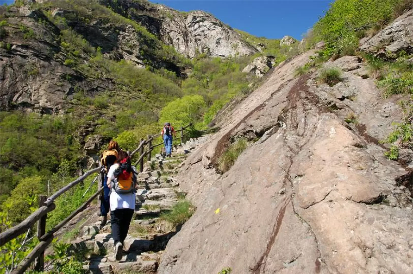
I Pian, from Outrefer

Access
Lasciare l'autostrada allo svincolo di Pont-Saint-Martin. Dopo 130 metri, svoltare a sinistra e imboccare la strada statale in direzione Aosta. Alla rotonda, prendere la seconda uscita, rimanendo sulla . Dopo 1,30 chilometri, svoltare a sinistra su Via Lungodora 2000 e oltrepassare la Dora Baltea. Alla successiva rotonda, imboccare la prima uscita, continuando su Via Lungodora 2000. Dopo aver transitato sotto l'autostrada, proseguire su Via Laffait fino a raggiungere il ponte sul torrente Fer. Subito dopo, sulla destra, si trova un parcheggio frazionale gratuito 🅿️, dove è possibile lasciare l'auto.
Per raggiungere il punto di partenza dell'itinerario è indispensabile un mezzo privato, poiché non è servito dai trasporti pubblici.
Distanza e tempo di percorrenza
🕒 Tempo di percorrenza: 6 minuti
📏 Distanza: 3,40 km
Navigazione GPS
📍 Come arrivare con Google Maps
📍 Come arrivare con Apple Maps
ℹ️ Nota importante
Le indicazioni fornite sono state verificate alla data del rilievo dell’itinerario. Prima della partenza, è consigliabile verificare eventuali variazioni del percorso. Per ottenere indicazioni aggiornate e dettagliate, si consiglia l’uso di Google Maps o Apple Maps.
Introduction
On the heights of the envers of Donnas, an interesting route winds its way up the slope to the village of Pourcil. The hike is extremely scenic and suggestive: it is particularly appreciated in the spring months, when the snow gives way to greenery.Description
From the car park towards the village of Outrefer until you come to the first yellow arrows; turn left and walk up a short lane until you come to a small road again: a few metres and you come to the beginning of the trail. The first section of the trail leads the hiker to the foot of the rocky prominence above the village of Outrefer; having left some meadows, one enters the predominantly chestnut forest and reaches the beginning of the infamous steps. The path starts to the right and then, after turning left, begins to climb up the forest with a series of twists and turns until reaching a characteristic barma. A little further on, you temporarily exit the forest (splendid views of Donnas) and now continue southwards in the direction of the Fer valley. Continue along the lovely mule track, which in open sections allows you to appreciate the wild Fer gorges.
Punti di Interesse
Collections
- escursioni con partenza da Outrefer - sulla mappa
- escursioni a Donnas - sulla mappa
- escursioni in bassa Valle d'Aosta - sulla mappa
- escursioni agli alpeggi della Valle d'Aosta - sulla mappa