The Champorcher lakes, from the Lac Muffé car park


Edited by:
Ivano Ruffoni
Updated at: 11/03/2026
Access
Leaving the motorway at the Pont-Saint-Martin exit, turn left and take the Strada Statale until Bard. After a few minutes, turn left and you will find the turnoff for Champorcher at a bridge over the Dora Baltea. When you arrive in Hône, take the regional road and climb up the valley of Champorcher, first passing the village of Pontbozet and then reaching the main town. Near Château, turn right and follow the signs for Mont Blanc, Lake Miserin and Dondena. You pass the villages of Gran Mont Blanc, Petit Mont Blanc and Remoran. Park near a clearing a few dozen metres before the end of the tarmac road.
.Introduction
The proposed itinerary leads to a visit to the small lakes set in the large grassy plateau that extends from the southern slopes of Cima Piana, Mont-Torretta, Tête des Hommes and Gran-Rossa. The return is via the Dondena dirt road.
.Description
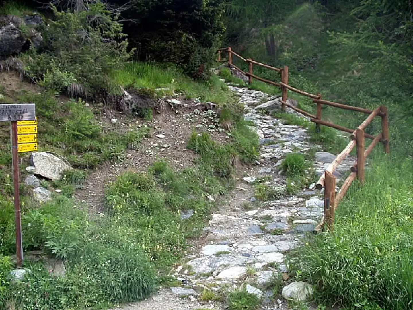
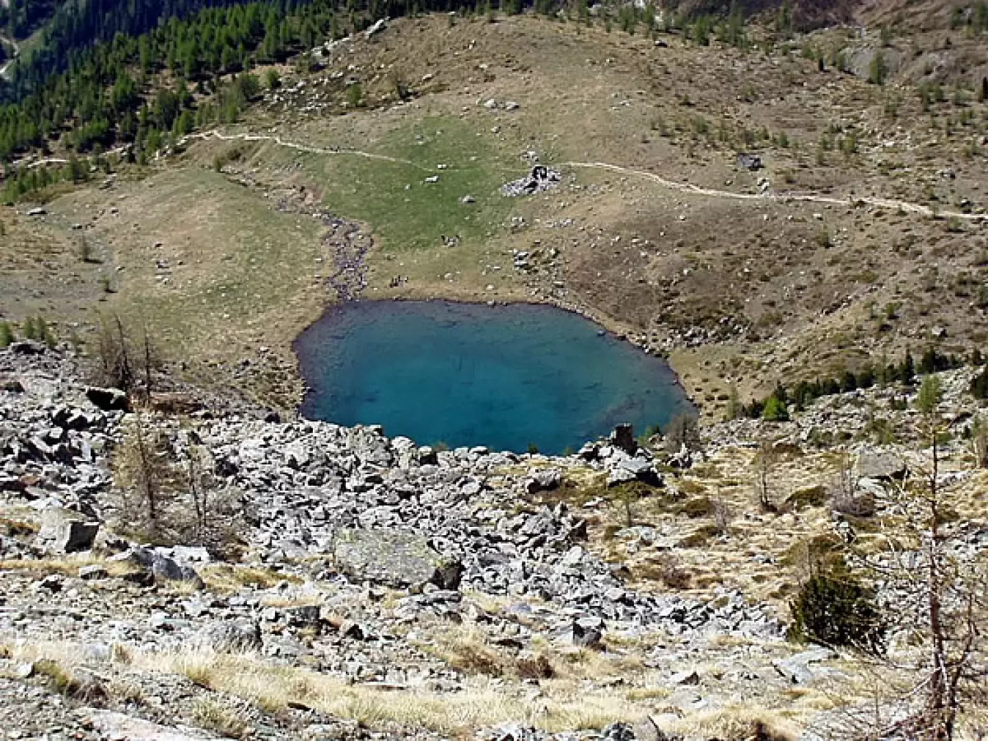
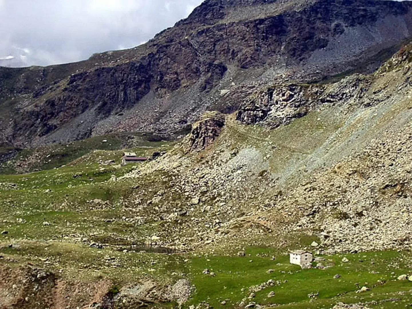
From the car park clearing (1766 m), proceed along the initially paved road. Shortly afterwards, on the right, you meet the diversions towards Col de la Croix, Col du Lac Blanc, Col Terra Rossa, Grange Arcomy Damon and Barbustel hut (signposts Trail N°10, Trail N°10C, Trail N°11, Trail N°11A). Take the steep paved mule track and climb up between wooden railings. In a few minutes, you reach the junction for the Grange Arcomy Damon, Brenve and Zuc, signposted Trail N° 11A. Turn left, signposted Trail N° 10/Sentiero N° 10C/Sentiero N° 9C for the Lakes, proceeding on steps. As you ascend, leave the extensive Alpe Cort plateau to your right, cross the stream and, continuing on the orographic right of the gully, climb up next to the ruin of "la Grand Cort" (1945m). Continuing on, you cross the turnoff to the right for Col Terra Rossa, trail marker No. 10F. Then continue into a hollow filled with boulders, leave the trail marker N°9C for Vernouille-Raty-Dondena on your left and continue on trail marker N°10/Sentiero N°10C, past a rocky jump, to reach the terrace of Lac Muffé (2076 m, 0h40') with the alpine ruin of the same name. The panorama from the lake, which originated from a glacial cirque excavation, ranges from the Perche peak to Cima Piana, from "la Torretta" to the "Tête des Hommes".
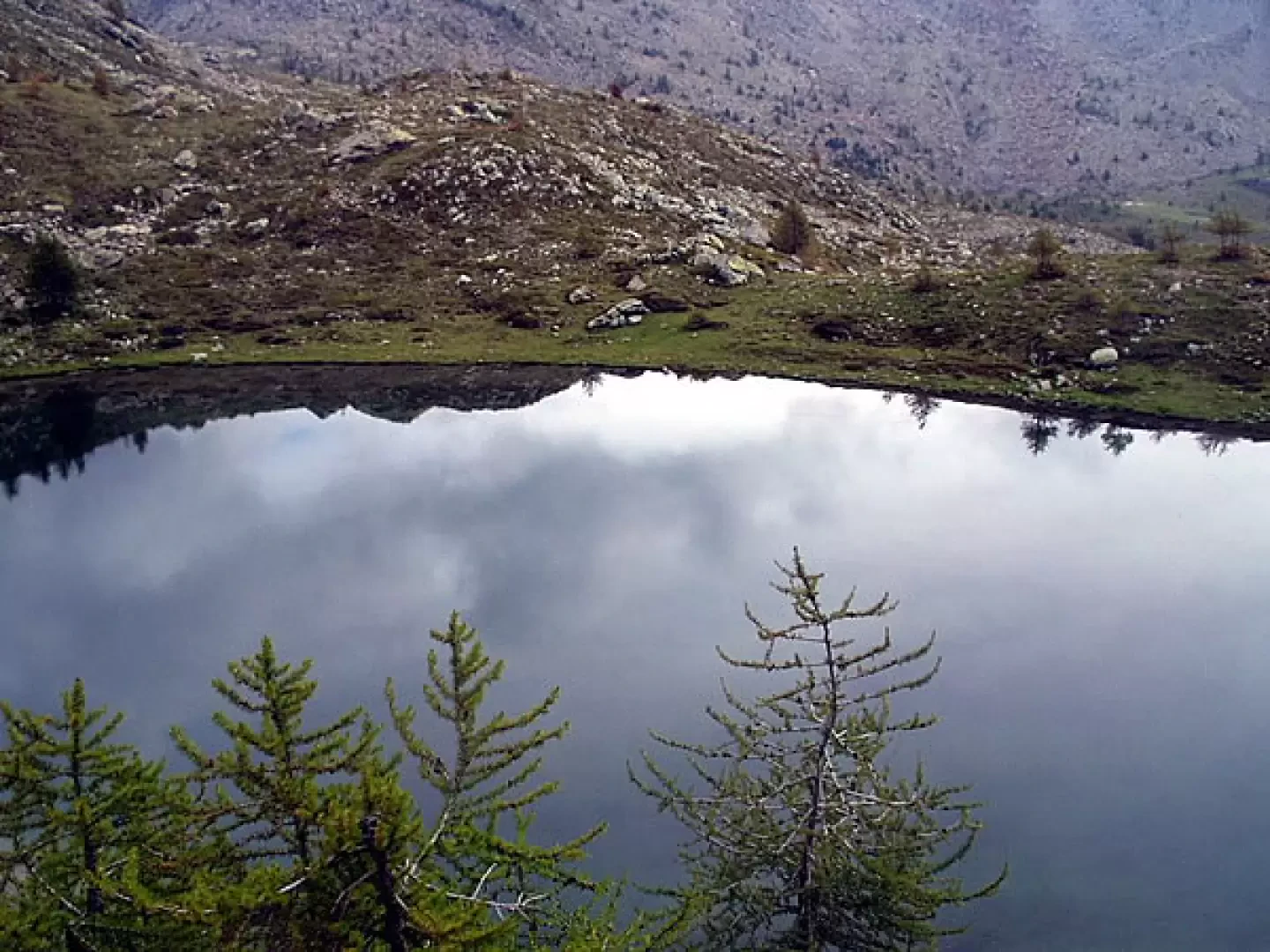
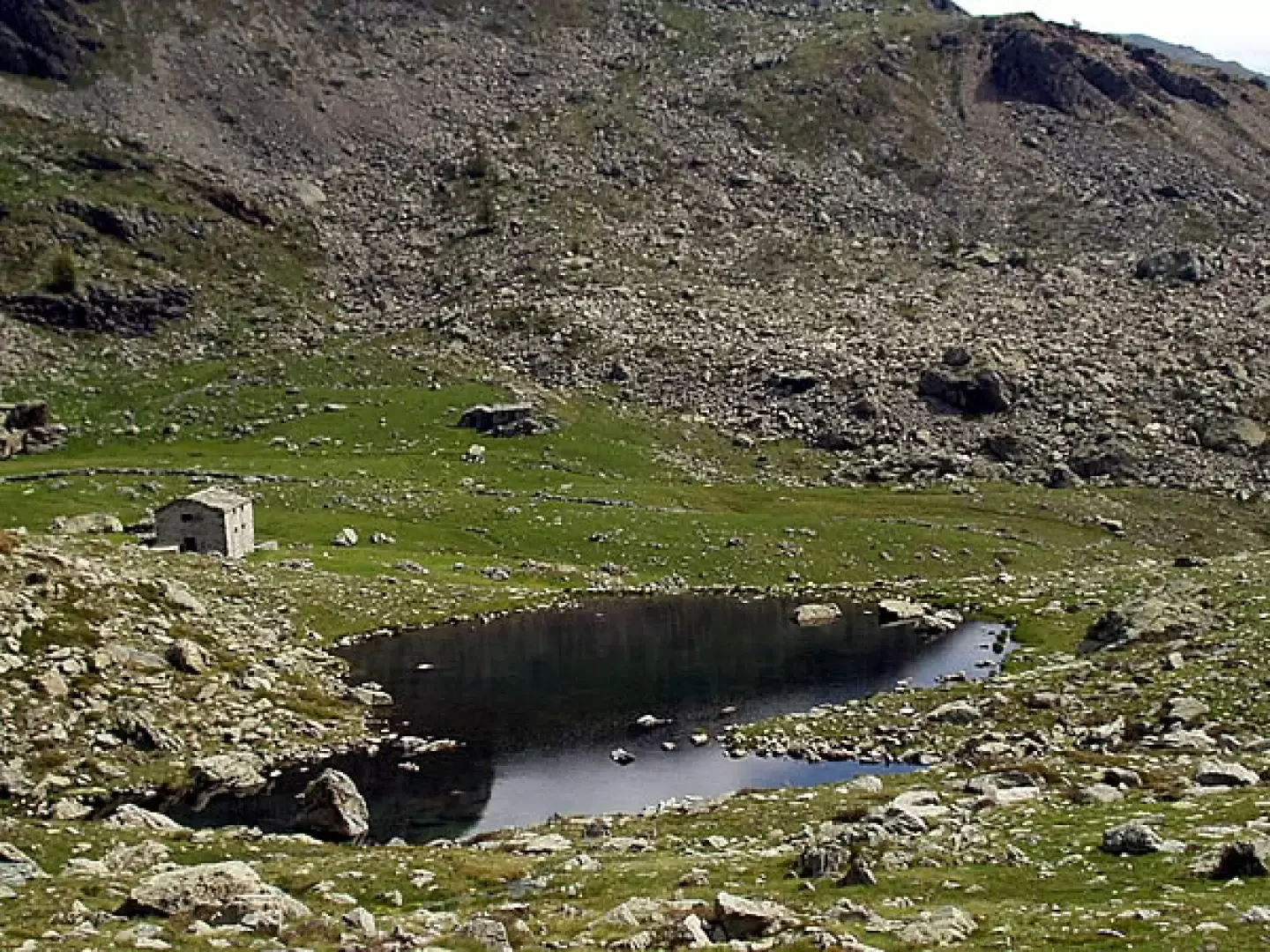
Now head west over a modest hump and descend to take a track through meadows, outcropping rocks and a few conifers. The path, almost halfway up the hillside, leads to cross a few streams and joins trail marker N° 9C, just near an alpine pasture. Continue over meadows to the west, keep to the right of a stream (which actually runs for a long stretch right into the path) and, after a modest climb, you are at Lac de Vernoille (2145m, 1h15'). The path now climbs to the left, reaches a small grassy basin, climbs a small valley of grass and stones and finally leads to the col (2278m) north of Mont-Ros. Ahead, towards the west, the panorama opens out over the meadows of Ratè di for (with its small lake) and Ratè damon (which we will reach in about 20/25 minutes' walk). Across the meadows, to the north of Bec Barmasse, we reach Lac de Raté (2284m, 2h10'), also known as Lake Raty.
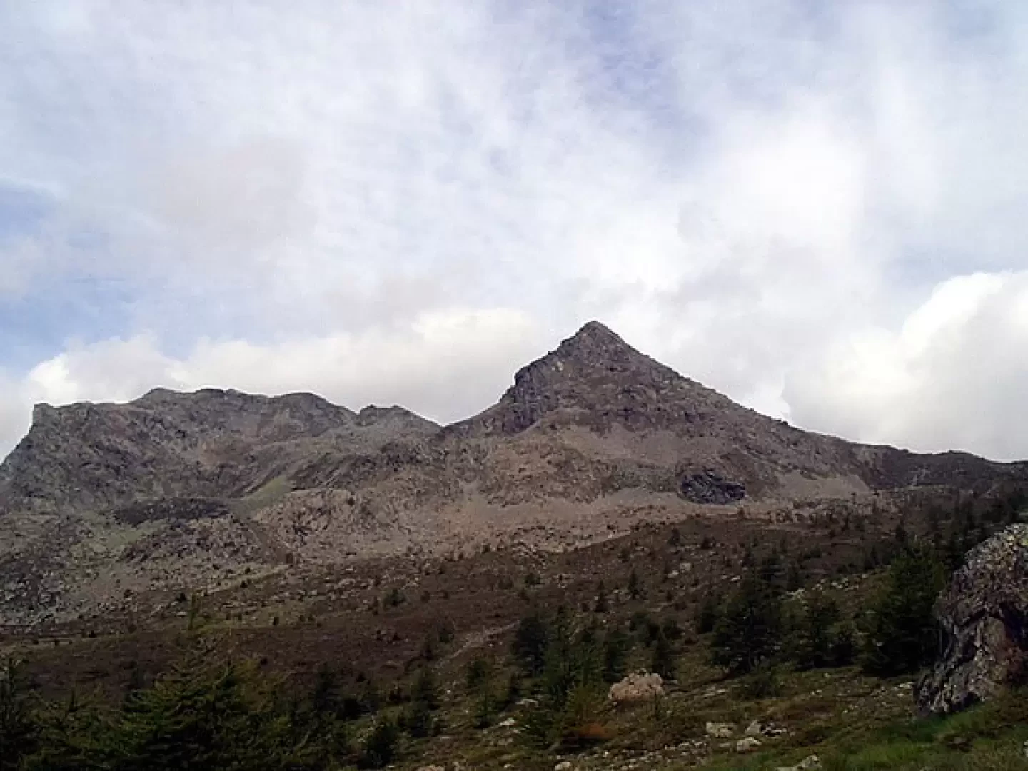
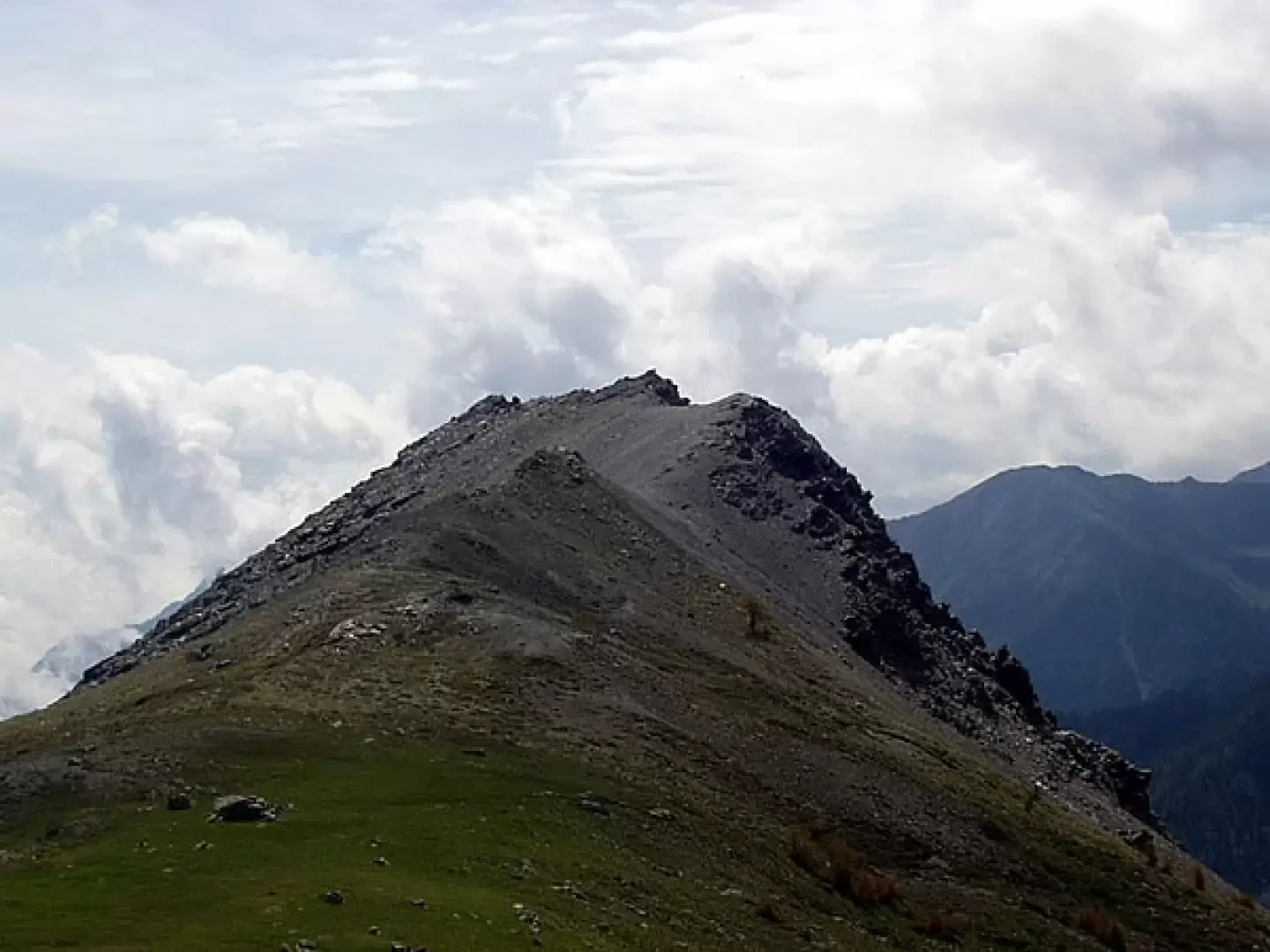
Now, and as far as the large cairn clearly visible to the south-west on the col that separates the Lac de Raté basin from that of Lake Giasset, we must follow the rare cairns. Arriving at the col to the north of Bec-de-Raté (2407 m, 2h30'), it is suggested that you observe the panorama over the valley of Champorcher from the large panettone-shaped peak, which joins Bec-de-Raté, and which can be reached in a few minutes by walking southwards without any obligatory tracks. Pay attention to the incredible quantities of animal droppings deposited.
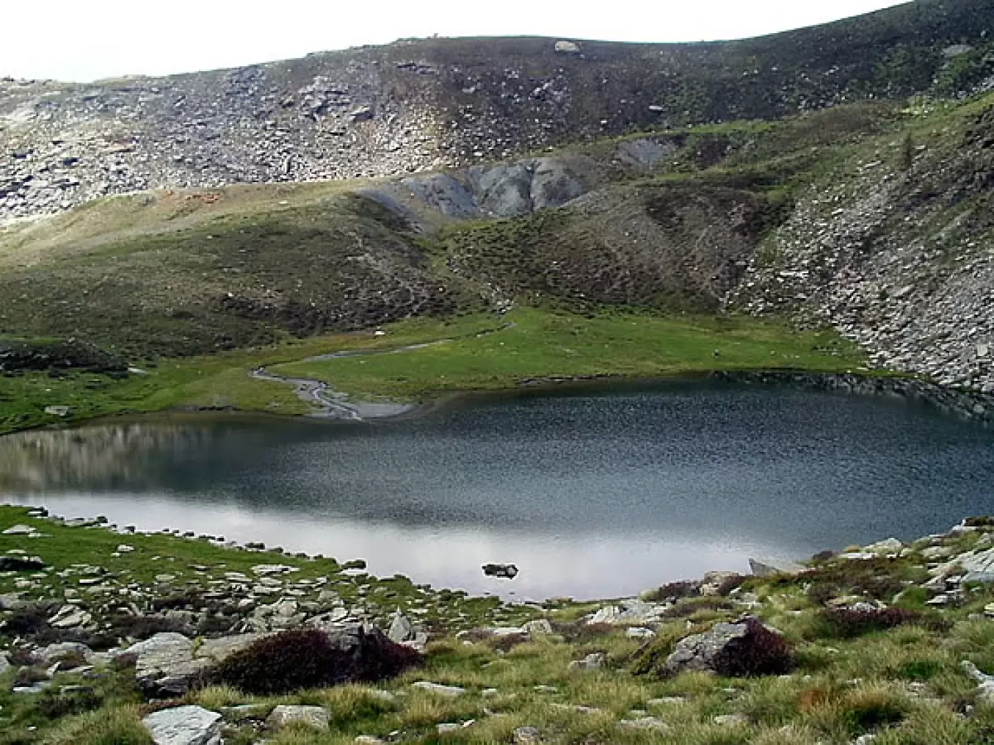
Returning to the large cairn, the circular return route begins. We descend along the western slope to reach Lac de Giasset (2306 m, 0h10').
Near the lake, a stone shows the signposts for Trail No. 9A, towards the Gran Rossa (but in reality the trail is not marked).
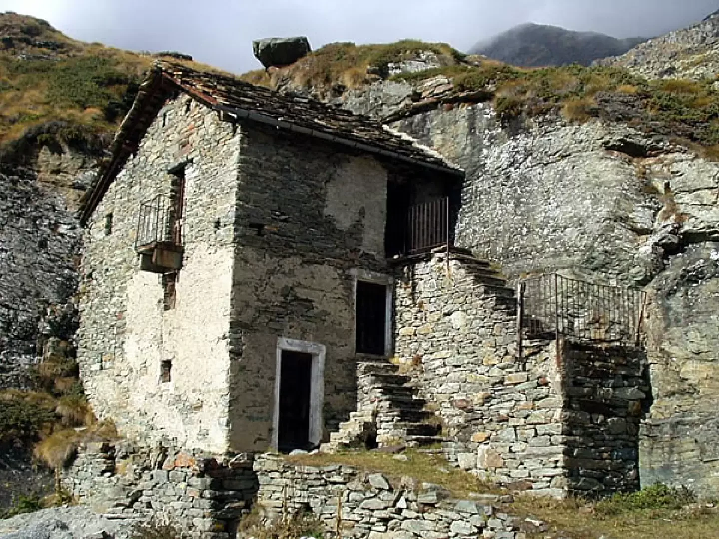
We now descend along the path, signposted Sentiero N° 9C, among grassy slopes and with beautiful views of Dondena below, we leave Alpe Giasset (2151 m) on the left and, on a dirt road, we reach the Dondena hairpin bend (2107m, 0h35'). Now continue to the right for a few minutes to observe the old buildings of Dondena. You immediately come across a votive pillar and, immediately afterwards, a characteristic house with two sides leaning against a rock. We now return along the wide mule track that passes, amidst a few landslides, below the south faces of Bec-de-Raté (or Bec Raty), Bec Barmasse and Mont-Ros until we reach the starting point (1766m, 1h35').
General Information
Trail:
Signposts: 10/10C, 9C, 9B
Type of route:circular
Recommended period: June, July, August, September, October
: Trail No. 10/Street No. 10C, Trail No. 9C, Trail No. 9Bnessuno
Sun exposure: south
Photo gallery
The small lakes of Champorcher - The small lakes of Champorcher - © 2007 Ivano Ruffoni I laghetti di Champorcher - © 2007 Ivano Ruffoni The small lakes of Champorcher - © 2007 Ivano Ruffoni The small lakes of Champorcher - © 2007 Ivano Ruffoni
Lac Muffé Mont Torretta Lac de Vernoille Alpine pastures in Raty
The small lakes of Champorcher - © 2007 Ivano Ruffoni The small lakes of Champorcher - © 2007 Ivano Ruffoni The small lakes of Champorcher - © 2007 Ivano Ruffoni The small lakes of Champorcher - © 2007 Ivano Ruffoni The small lakes of Champorcher - © 2007 Ivano Ruffoni
Alpe Rate de For and the small lake in front of Bec Barmasse Lac Rate Lac de Giasset House in the rock... in Dondena
Photo gallery
Comments (0)
Sign in to leave a comment