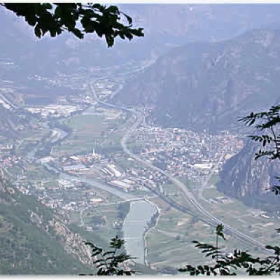
Biel Greenhouse, from Courtil
Access
Leave the [A5] motorway at the Verrès exit and turn right onto the SS26 in the direction of Turin. After passing the village of Verrès, after about 3 km you will reach Arnad; continue until you reach a junction for Hône - Champorcher (7.6 km) where you turn right, crossing the Dora Baltea and entering the village of Hône. Continuing along the same road, take the Regional Road of the Champorcher Valley. After gaining height with a series of hairpin bends, at 14.6 km you come to a fork in the road (we are near Pontbozet): turn right towards Biel and Courtil. We now follow a narrow road past the village of Biel (18 km), and finally arrive in Courtil (19.1 km), the starting point of our hike.
Introduction
Brief walk in the heights of Hône. Definitely an unusual itinerary full of little scenic surprises.
Description
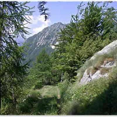
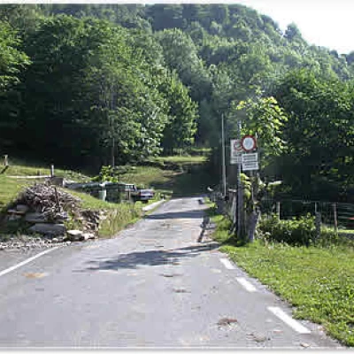
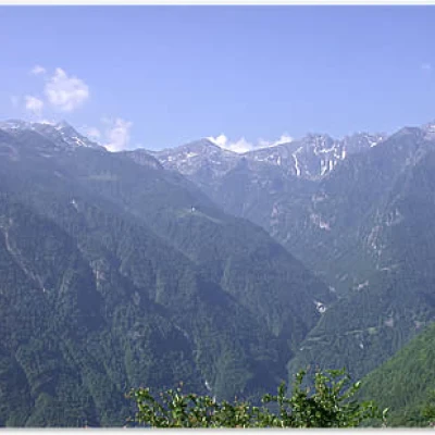
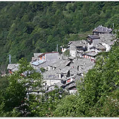
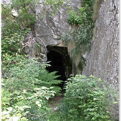
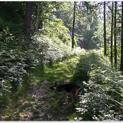
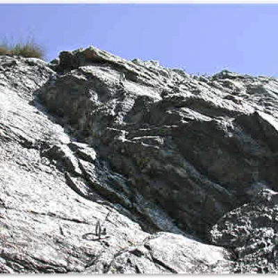
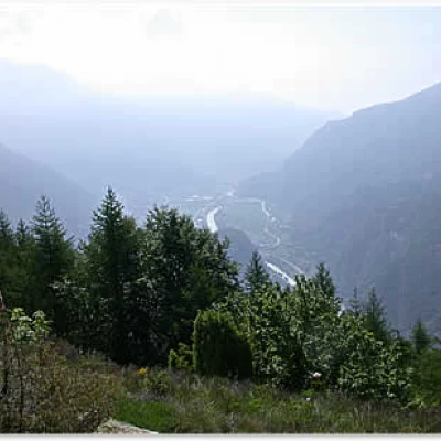
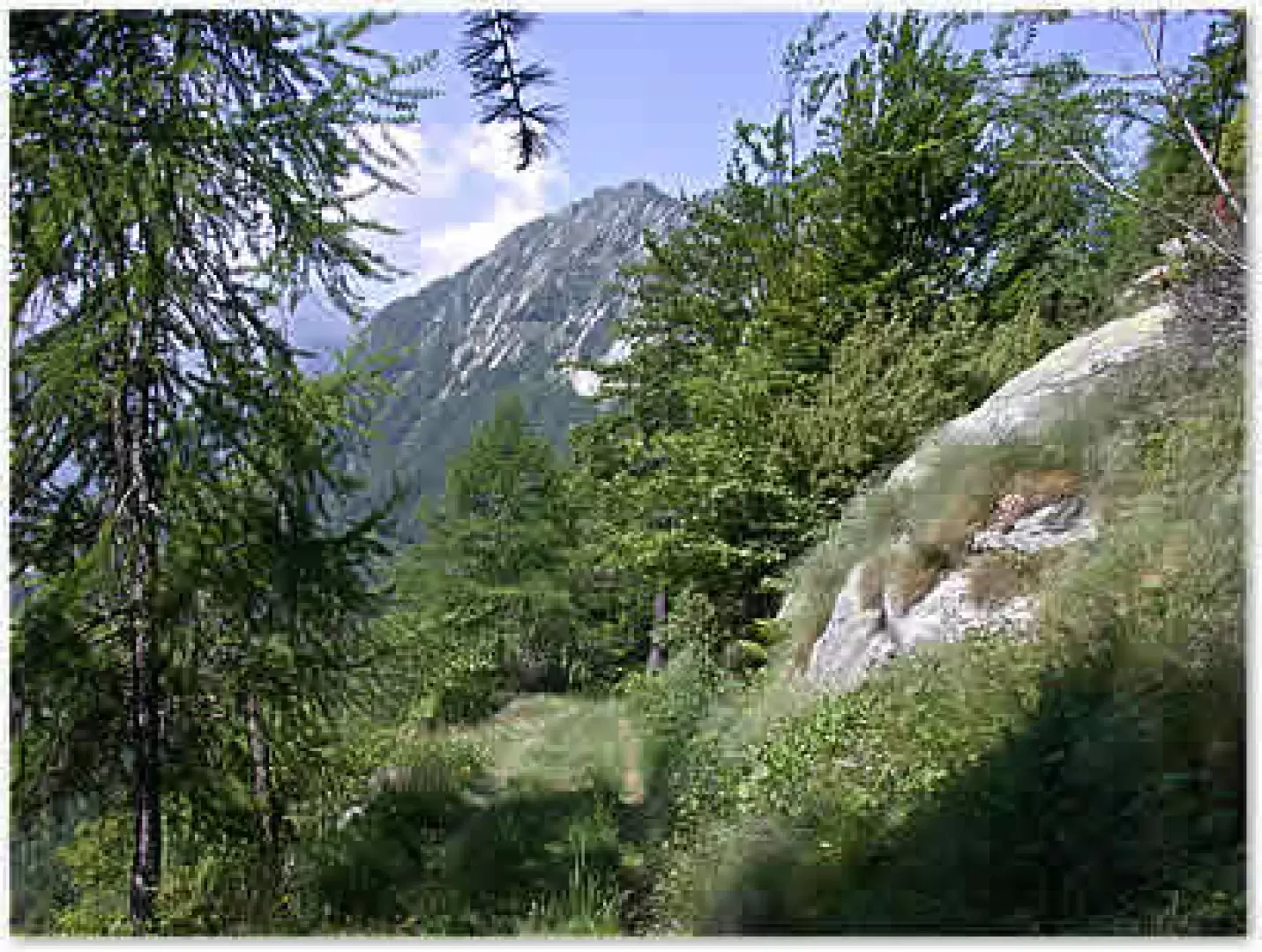
Leaving the car in Courtil (1245m) in the roadside car park, just before the village, we immediately take a small asphalt road, forbidden to traffic, that leads away from the village. You walk through a birch and chestnut forest interspersed with beautiful pastures. After a 5-minute walk, we turn onto a hairpin bend and sweeping views open up before our eyes of the unknown Pontbozet valley, the Brenve valley and the Retempio sanctuary. Below us we catch a glimpse of the beautiful slate roofs of the village of Courtil. Continuing on, we reach a hairpin bend to the right with a small road to the left to be ignored and climb up through the forest, now of oak and beech trees. After 25 minutes, another hairpin bend is reached, this time to the left: a forest track starts on the right, marked by a yellow arrow on the concrete wall. The track is immediately flat and after a few metres, at the foot of a large rock plate, we find the entrance to a cave used in the past as an ammunition depot. The little road runs through a forest of spruce and larch, at times very dense with a thick undergrowth of ferns. Every now and then there are panoramic glimpses of the peaks of the lower valley: Bec Cormoney (2115m), Monte Bo (2026m), Cima Bonze (2516m) and Bec Renon (2266m). After a 35-minute walk, you reach the Bimbo Climb crag: 15 routes from 3b to 6b. Shortly afterwards, you reach a terrace with a beautiful view of the valley floor: Pont-Saint-Martin and Donnas. From here, the path veers slightly to the left and in a few minutes reaches the remains of a military garrison: you are almost there, a few not excessively steep hairpin bends lead to the wooded summit of the Serra di Biel (1479 m). From up here, there are beautiful panoramic views of Verrès and the Arnad plain, as well as of the mountains of the Val d'Ayas and the Rosa massif.
The return is along the same route as the outward journey.
Variant
For those who wish to take a diversion, you can follow the road, from the point we left it following the yellow arrow, as far as Pian Fiou, a small group of houses nestling in a beautiful meadow at the foot of the Placche di Oriana (Oriana's rock-climbing wall). Just above, you cannot fail to notice the RAI antennas of Col Courtil and the beautiful silhouette of Mont Charvatton (1787 m).
