Fenêtre de Sereina, from Planaval


Edited by:
Massimo Martini
Updated at: 06/04/2026
Access
Leave the motorway and, after 500m, leave the motorway junction, turning right onto the regional road for the Cogne valley. After 450m at the roundabout, take the second exit and enter the national road to be followed for 18.4 kilometres, passing through and skirting the villages of Saint-Pierre, Villeneuve, Arvier, Avise and Derby before reaching a roundabout. Take the first exit and take Via Corrado Gex following the signs for the centre of La Salle. After 350m turn left onto Via dei Romani and, shortly after at the fork, turn right onto Via Col Serena and follow the signs for Chaffieron. Go up the municipal road passing through the villages of Chaffieron, Chateau, Vilarisson, Remondey, Cheverel, Morge and, after about 9.3km, you will reach the village of Planaval. Once in front of the Jolie Bergère chalet, descend a small asphalt road to the small bridge over the Torrent Grand Eau, cross the bridge and turn right to climb up a short stretch of dirt road until you come to a small grassy clearing used as a car park 🅿️ near the stream.
[0h38'] - [30.6km]
How to get there with GMaps
How to get there with Apple Maps
These directions are based on direct verification at the time of the route survey, so the information should be checked before starting the hike. We recommend using a GPS navigator or map app on your smartphone to get up-to-date and detailed directions.
Introduction
A medium-length route. All along the route, panoramic views abound and are well combined with the discreet charm of the area traversed.
Description
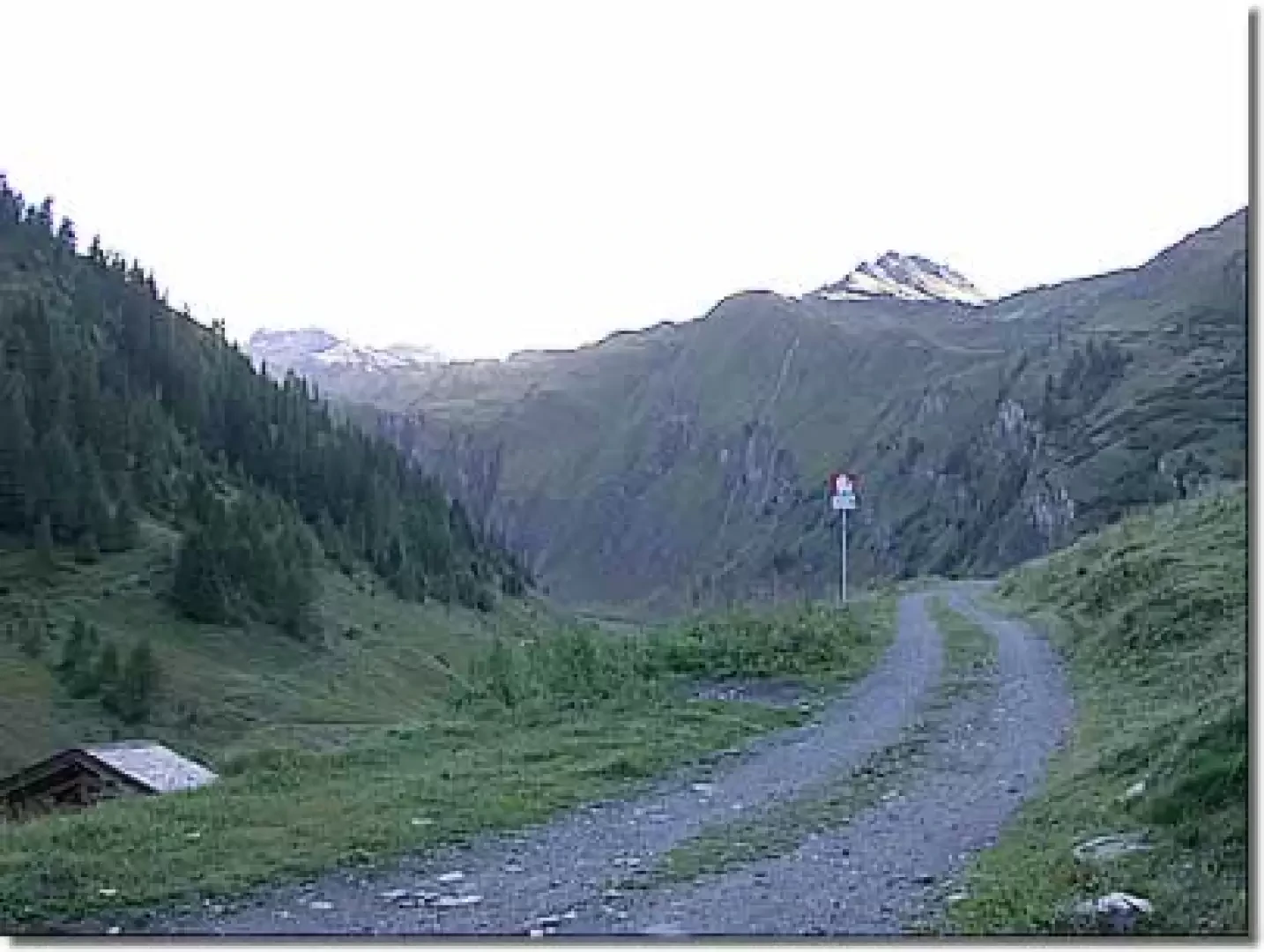
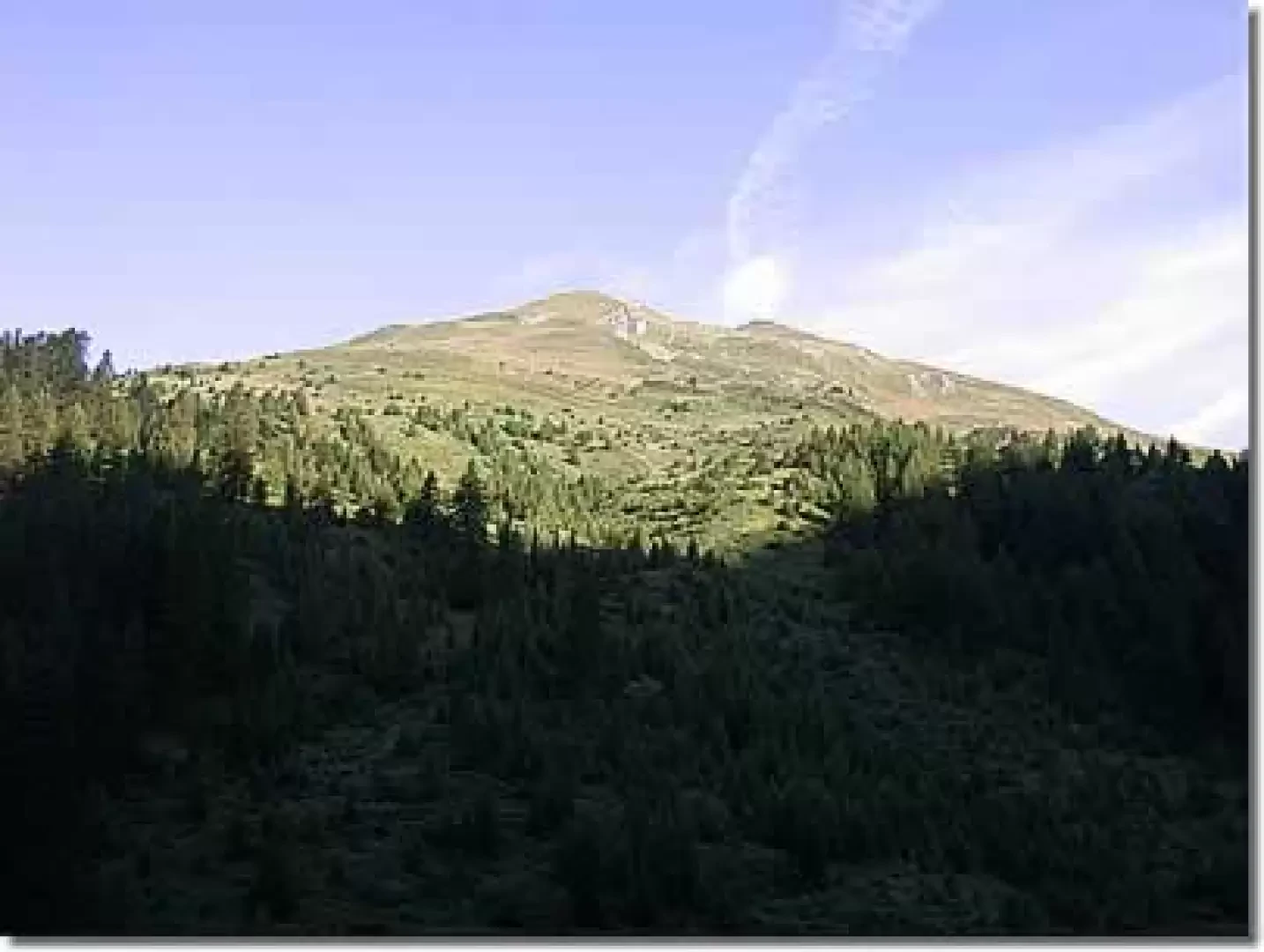
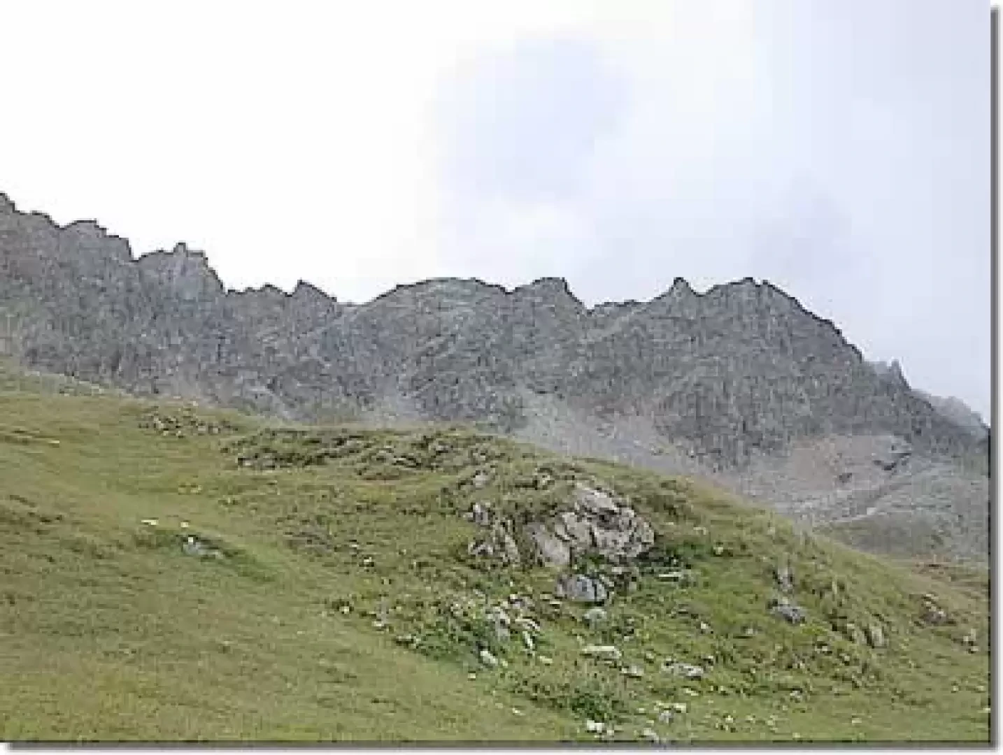
0h00' From the car park, take the dirt road following the Rantin-Col Serena signs on a wooden panel. After an initial hairpin bend, the road proceeds with a constant gradient on the left orographic slope of the Comba di Planaval. After a couple of hairpin bends, you come to the Montagna Bianca farmhouse (1871m), and walk along it accompanied by patches of alders. You slowly ascend until you come to a series of hairpin bends that make you quickly gain altitude. From the road, you can see the lower part of the Comba with the Des Eculés pastures and the Bec d'Aouille (2535m) above. After about 0h35', the road flattens out slightly and Alpe Rantin can be glimpsed in the distance. The walk continues until you come to another series of hairpin bends that take you to a post indicating the route to Col Serena (2330m): here, turn right and take the path following the yellow markings and, after a few dozen metres, cross a small stream.
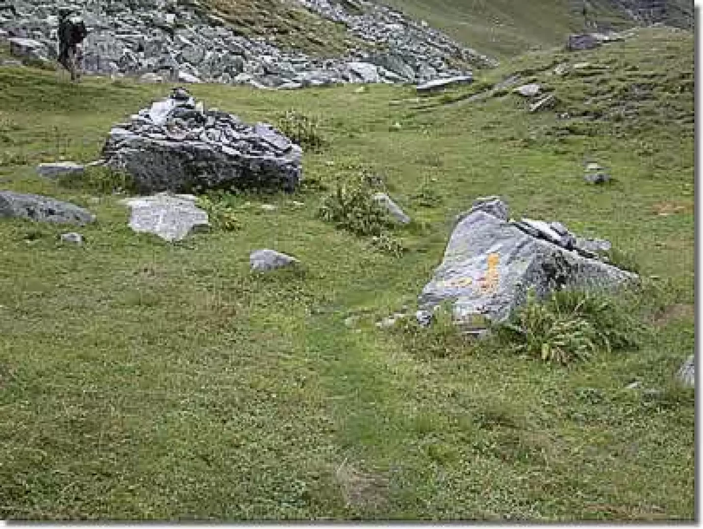
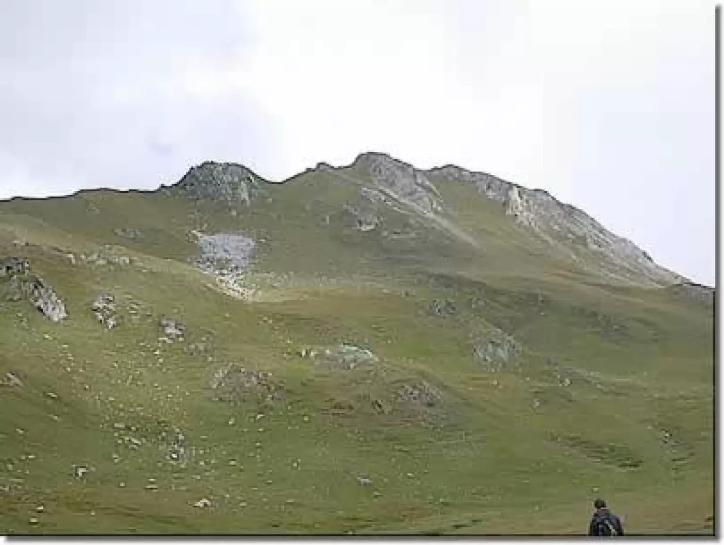
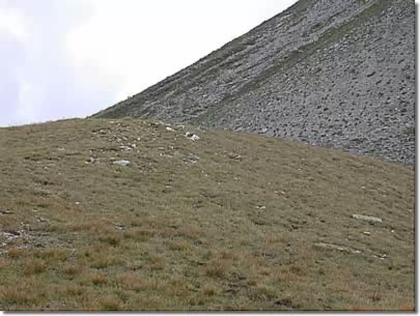
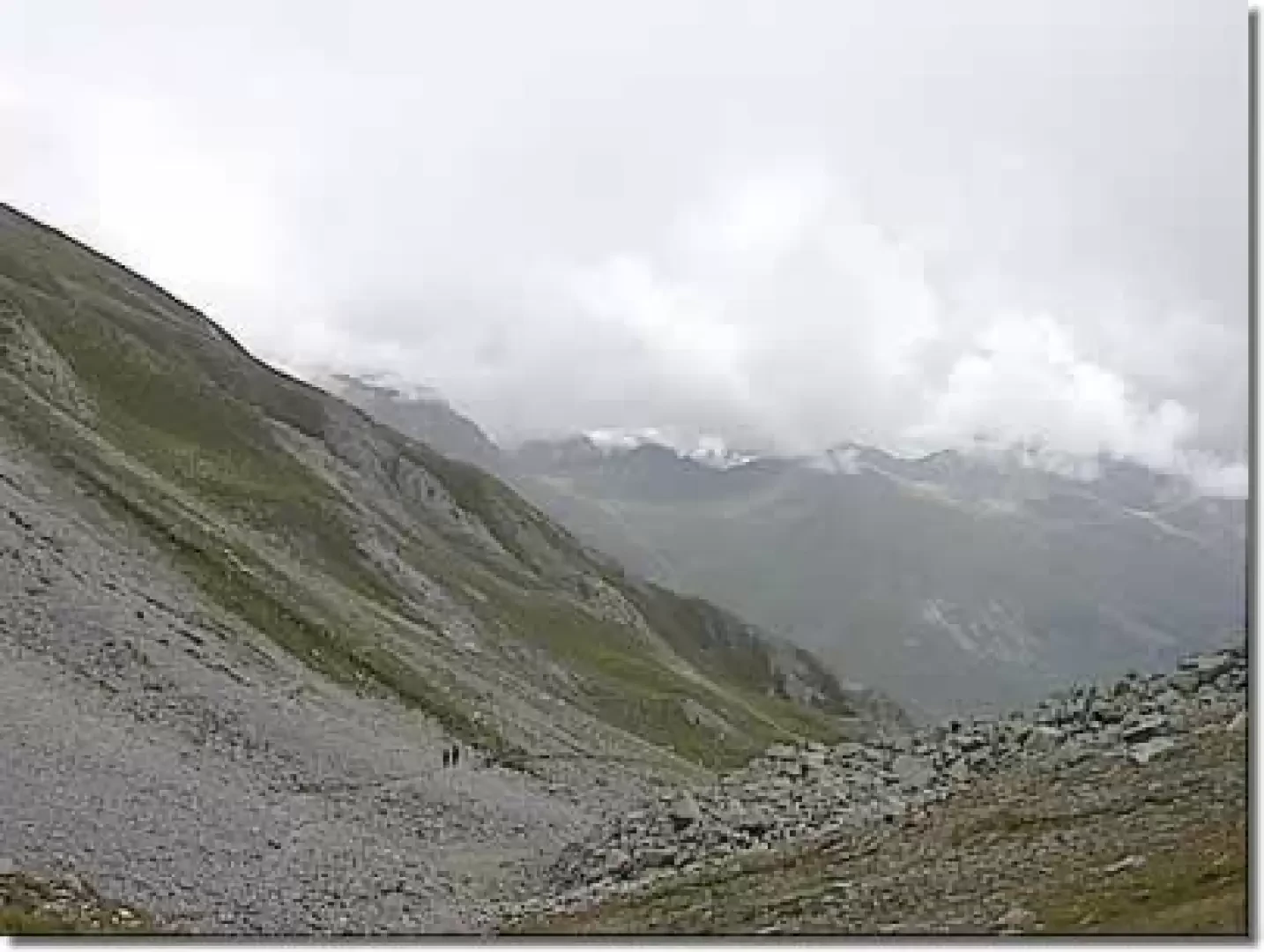
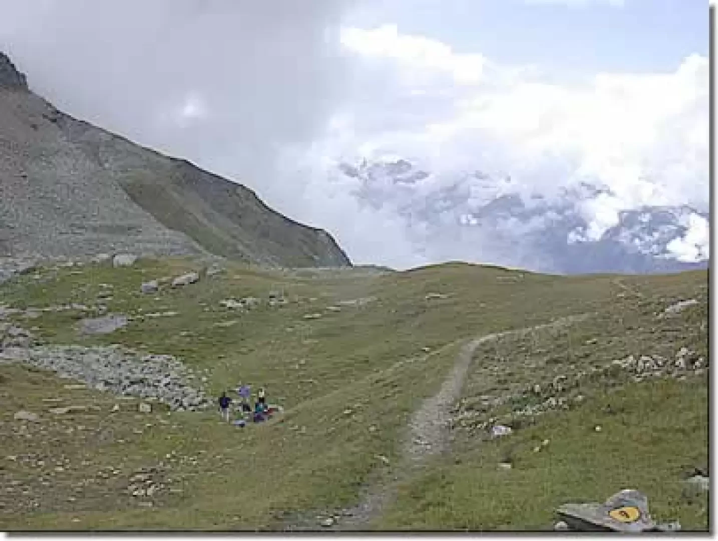
0h55' After a few minutes, you come to a fork in the road: turn left and start to climb up the grassy pastures. During the ascent, the imposing silhouette of the Grande Rochère peeps out between the ridges; after a steeper climb, the path approaches a gravestone and then runs alongside a stream. After 0h15' the path overcomes a steeper section and enters the wide basin below the pass. The walk now becomes more pleasant, as well as not having any great inclines, the path presents pleasant encounters: it is not unusual to spot the marmot (Marmota marmota). Passing a spring, we finally reach the wide saddle of the Colle Serena (2547m, 1h45').
From the pass there is a beautiful panoramic view over the Gran San Bernardo valleys and the Valdigne.
The descent follows the same route as the ascent.
Photo gallery
Comments (0)
Sign in to leave a comment