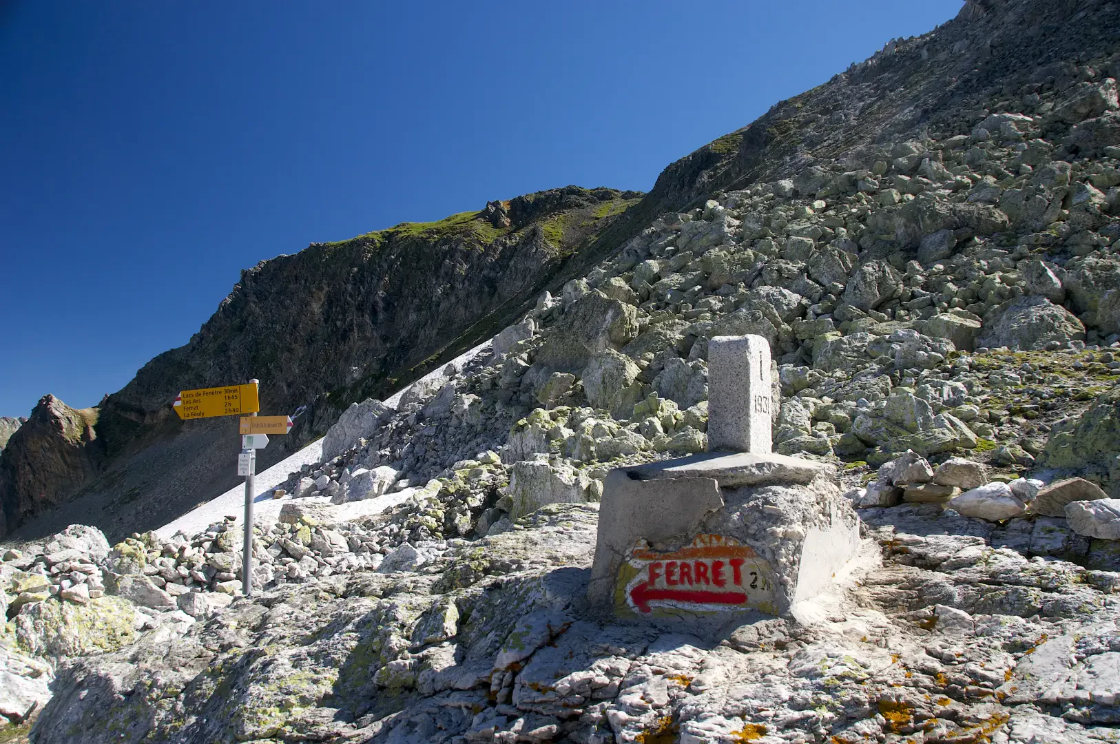
Fenêtre de Ferret, from Baou
Access
Leave the motorway at the Aosta Est barrier, turn right and take the [E27] dual carriageway to follow for 8.4 kilometres. Arrive in Signayes and continue straight on the main road, passing the villages of Gignod, Etroubles and Saint-Oyen, until you reach, after 24.5 kilometres, the junction for the Colle del Gran San Bernardo. Turn right and drive up the road for another 12.6 kilometres until you reach the Baou alpine pasture and its free car park 🅿️. The car park is reserved for customers of the refreshment point and is usually very crowded: it is advisable to arrive early to avoid difficulties in finding parking.
[0h43'] - [37.10km]
How to get there with GMaps
How to get there with Apple Maps
The starting point of the itinerary is not accessible by public transport.
The information provided has been carefully checked as of the date the itinerary was taken. However, you are strongly advised to check any changes that may have occurred since then, especially regarding the access route to the starting point. Before embarking on your journey, it is advisable to consult up-to-date navigation tools for accurate and up-to-date directions. We recommend the use of satellite navigation apps, such as Google Maps or Apple Maps, to ensure the most accurate and safe route.
Introduction
The hike to the Fenêtre de Ferret is an itinerary of medium difficulty, ideal for those who enjoy walking among green pastures, alpine panoramas and natural points of interest. The route starts from the parking area of the Baou alpine pasture, located at an altitude of 2369 metres, with a nearby refreshment point. Following the signpost, you take a dirt road leading to the alpine pasture, where you soon reach the junction of the path.
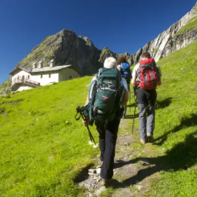
After a few minutes' walk, the path branches off to the right and winds its way through the pastures, with a magnificent view of the Tour des Fous, one of the surrounding peaks. You then cross a small stream at an altitude of 2400 metres, climbing a grassy slope that leads to the beautiful basin at the foot of the Tête Fenêtre. Here, the panorama opens up further, offering breathtaking views of the surrounding valleys and peaks.
The final part of the itinerary leads towards more rocky and scree-covered terrain, before reaching the Fenêtre de Ferret, at 2698 metres, where the border between Italy and Switzerland is located. The descent path retraces the same route as on the way up, allowing the alpine landscapes crossed on the way up to be appreciated once again.
This hike offers an immersive experience in the mountains of the Valle d'Aosta, suitable for hikers seeking a rewarding walk in a striking natural environment.
Description
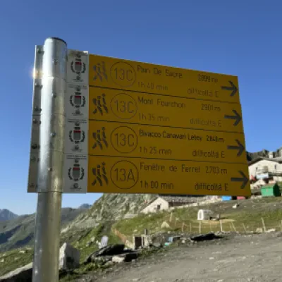
0h00' 0.00km From the car park, head towards the signpost indicating the main itineraries in the area and take the dirt track that leads to the Baou mountain pasture-restaurant (2369m) until you come to the junction with the path.
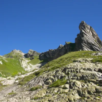
0h02' 0.03km Take the path on the right and follow it halfway up the hillside between the pastures towards the sharp Tour des Fous (2576m), before turning right again to enter a small valley crossed by a small stream, which must be forded at about 2400m. Continue on the orographic right of the gorge, climbing the grassy slope interspersed with sections of rocky outcrops on the easy and obvious path around the rounded summit at an altitude of 2556m, until it enters the beautiful grassy basin at the foot of the Tête Fenêtre (2823m) and the junction for Mont Fourchon (2902m).
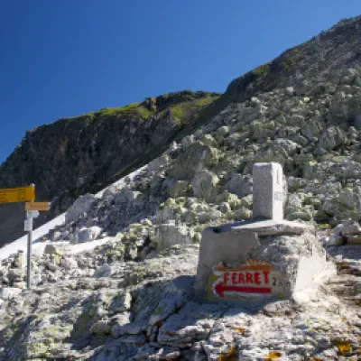
0h20' 0.54km Continue on the path to the right, crossing the pleasant grassy basin and green pastures. The path, with a moderate slope, heads towards the southern slope of the Fourchon-Grande Chenalette ridge. When you reach the base of the slope, start climbing again with greater intensity, making a few wide turns that allow you to gain altitude. After a short diagonal turn to the right, you will reach a stretch of boulder-strewn ground that precedes the characteristic white detrital rocks of the Tête de Fonteinte. Continue straight on until reaching the marker indicating the arrival at the border and the Fenêtre de Ferret (2698m) 0h55' 1.36km .
The descent follows the same route as the ascent 0h30' 1.36km .
Point of Interest
Collections
- hikes departing from Baou - on the map
- hiking in the Gran San Bernardo Valley - on the map
- hiking in the hills of the Aosta Valley - on the map
