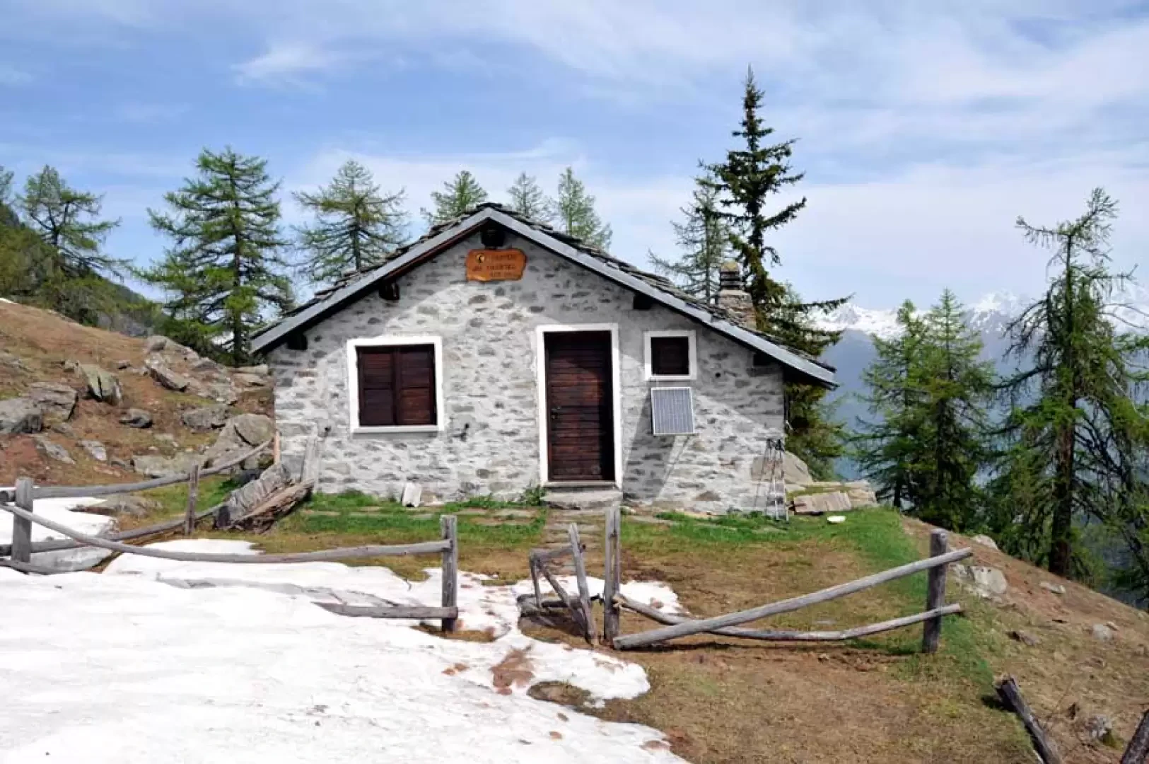
Chantel cottage, from Vieyes


Edited by:
Giancarlo Beretta
Updated at: 25/10/2025
Access
Leaving the motorway at the Aosta Ovest exit, turn right and take the for the Cogne valley. After passing through the village of Aymavilles, the road climbs the valley for about 10 kilometres until you reach the village of Vieyes: turn left into the village and park in the centre of the village; there is also a car park along the regional road in case there is no space in the one below.
- How to get there with GMAPS
- How to get there with Apple Maps
Introduction
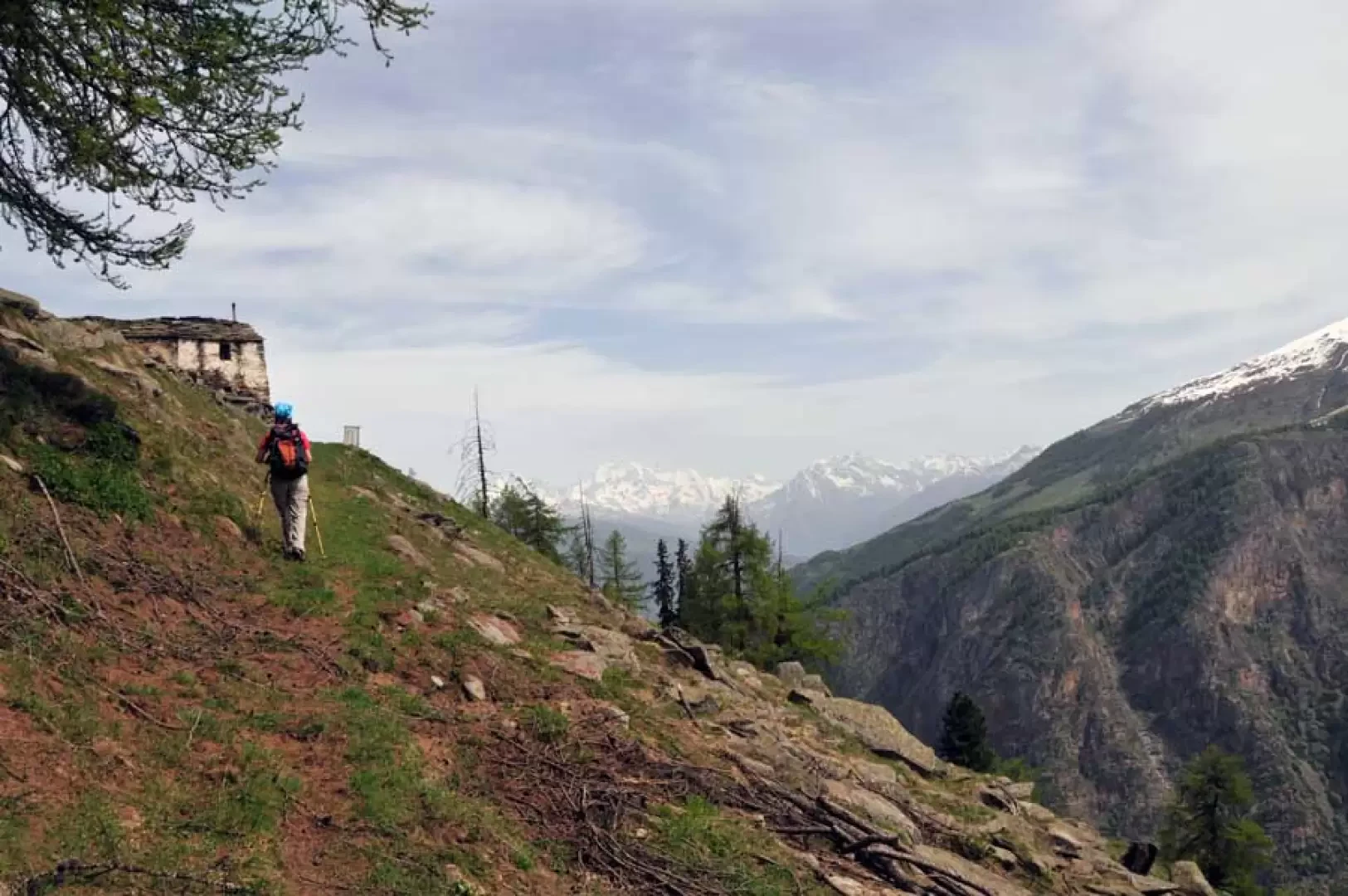
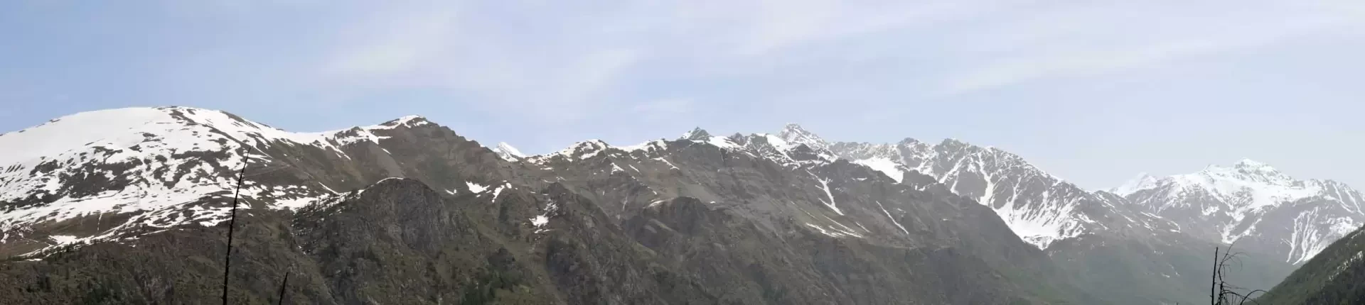
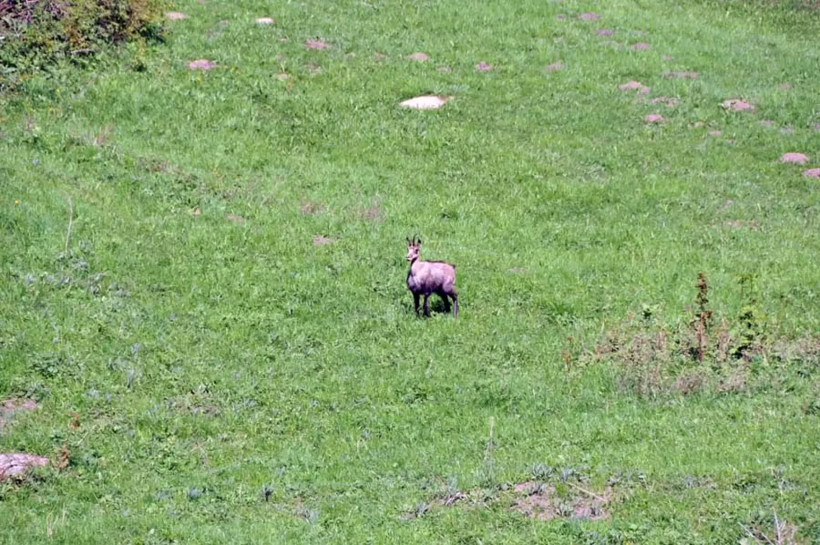
Excursion to a panoramic hut in the Gran Paradiso National Park located at the end of a rocky rib that descends from Pointe Valletta, which in turn lies on the long ridge that descends from the distant Grand Nomenon. The route, almost all through beautiful woods, is busy up to the fork above Plan Pessey, while further on it is less so but where it is easier to encounter chamois. The panorama from the hut ranges from the distant Grandes Jorasses to the Grand Combin and the valley of Cogne below in its entire length; of the Grivola, unfortunately, only the tip behind the ridge descending from the Grand Nomenon can be seen.
Description
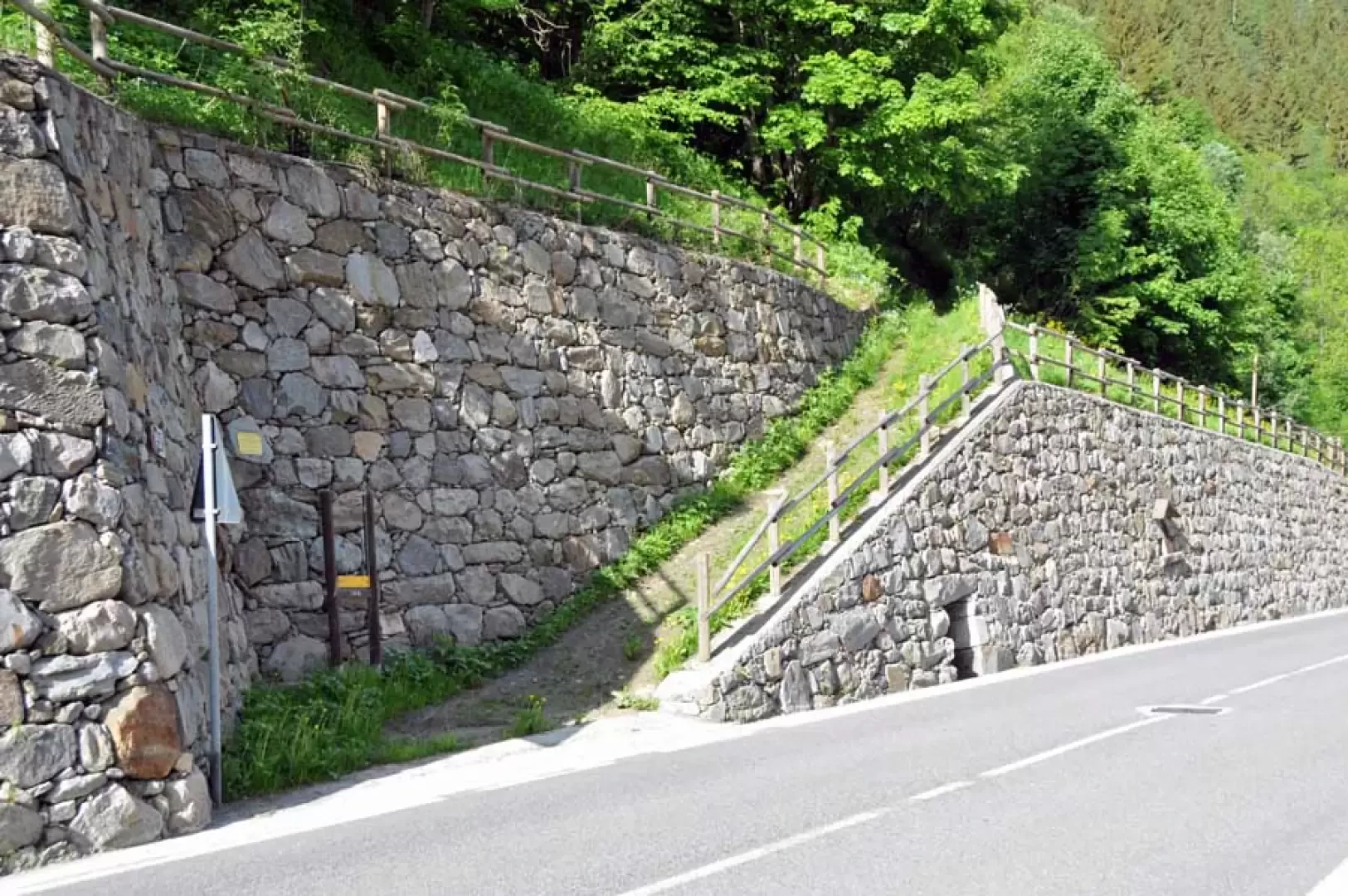
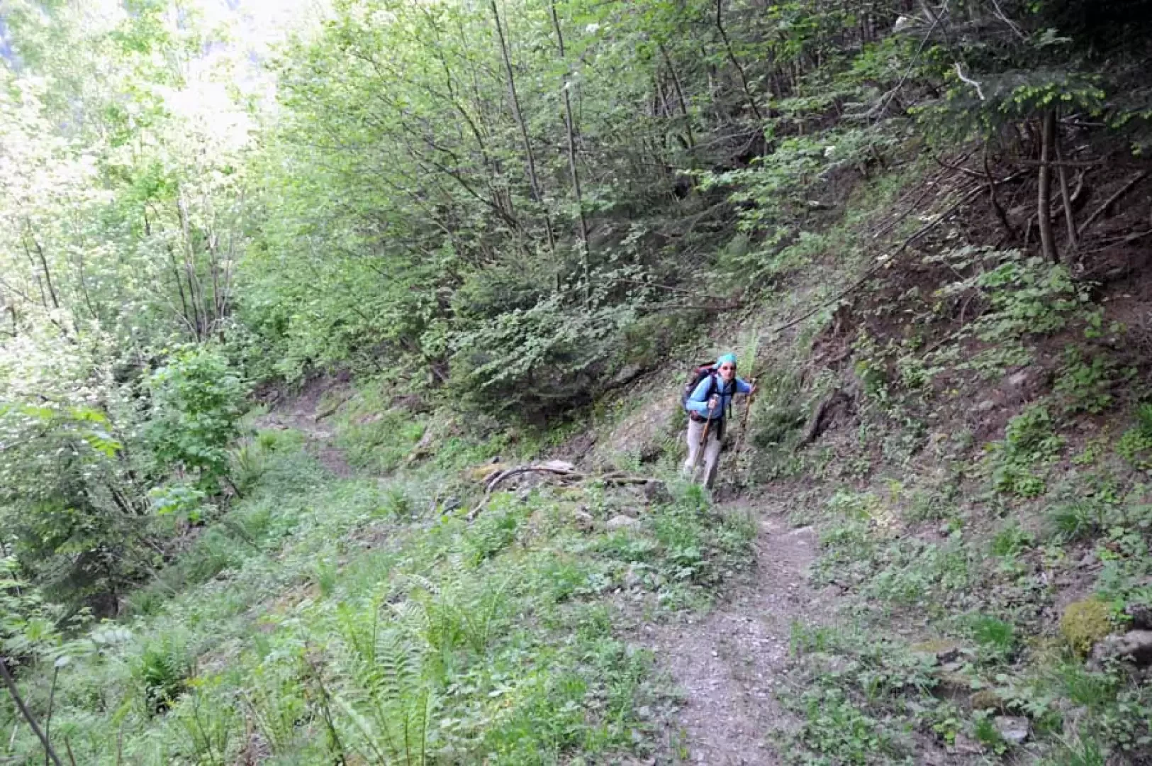
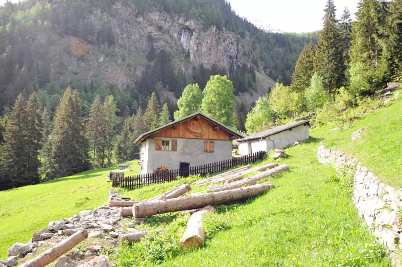
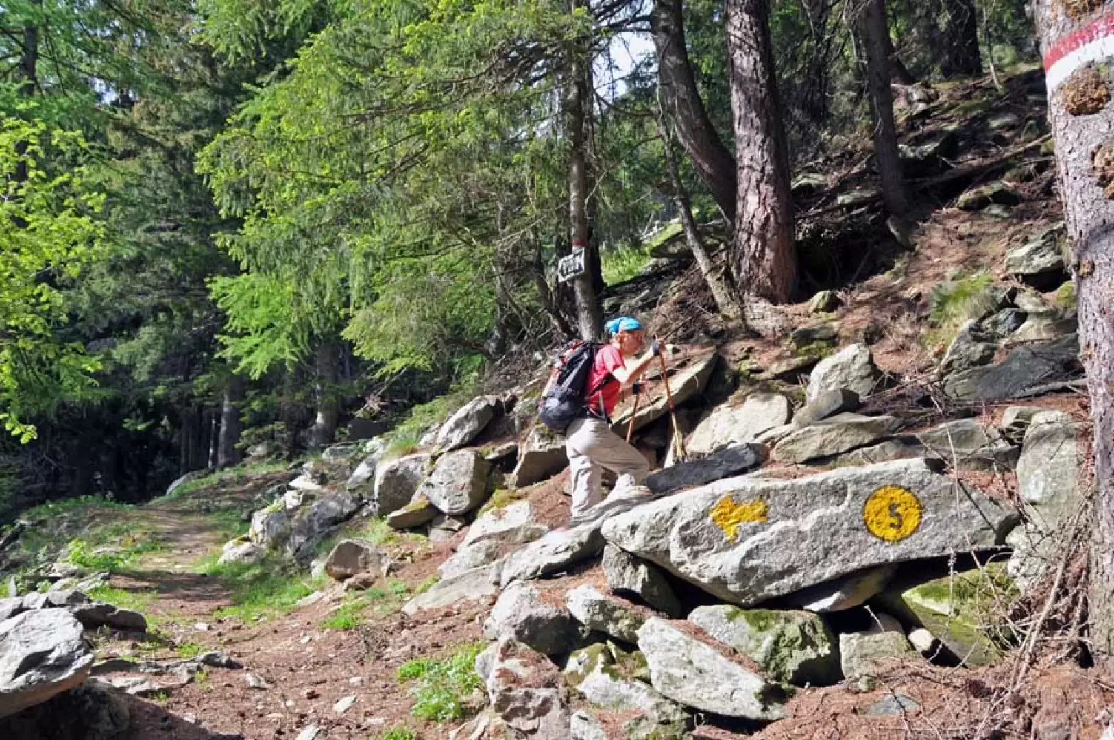
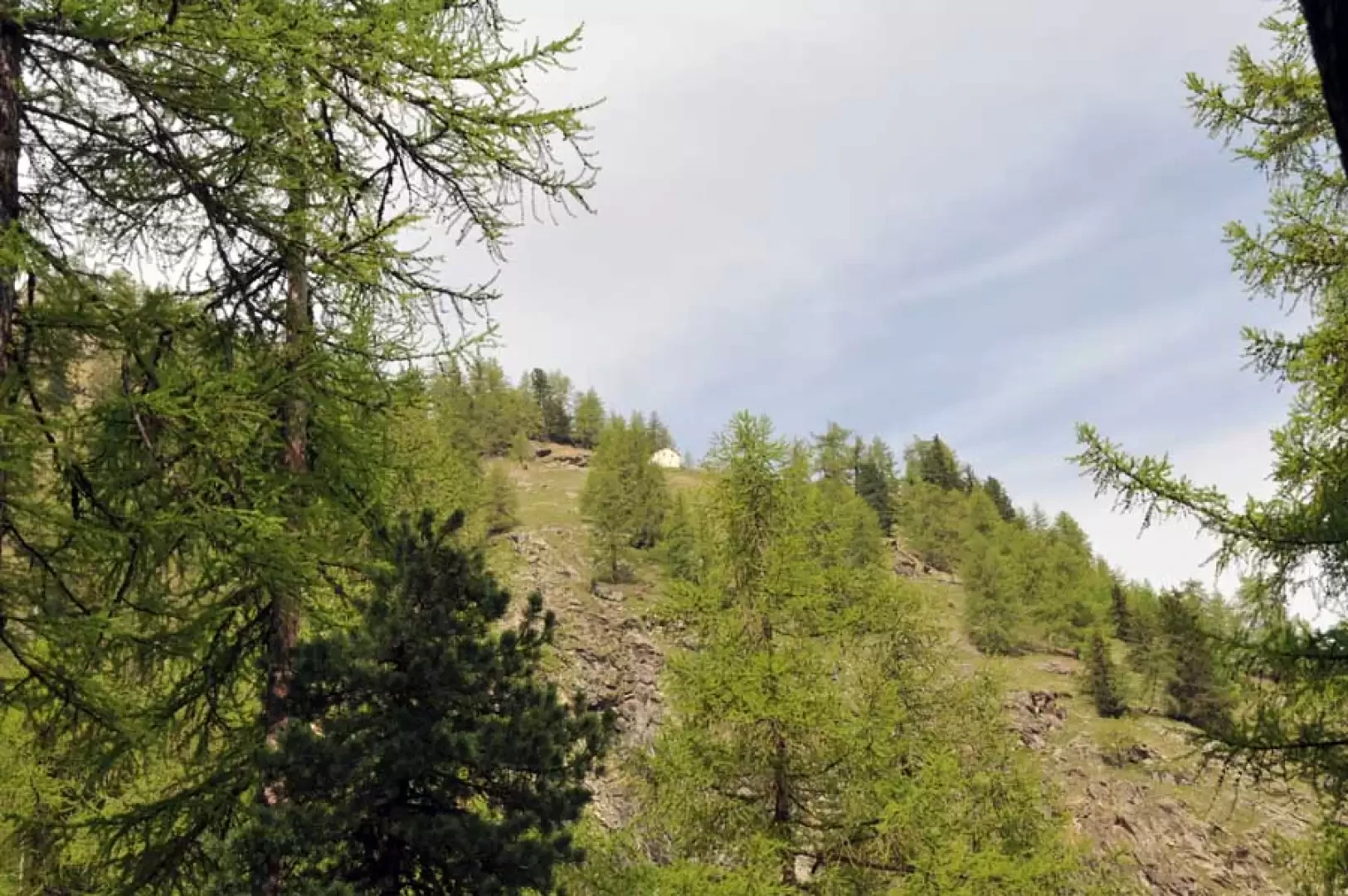
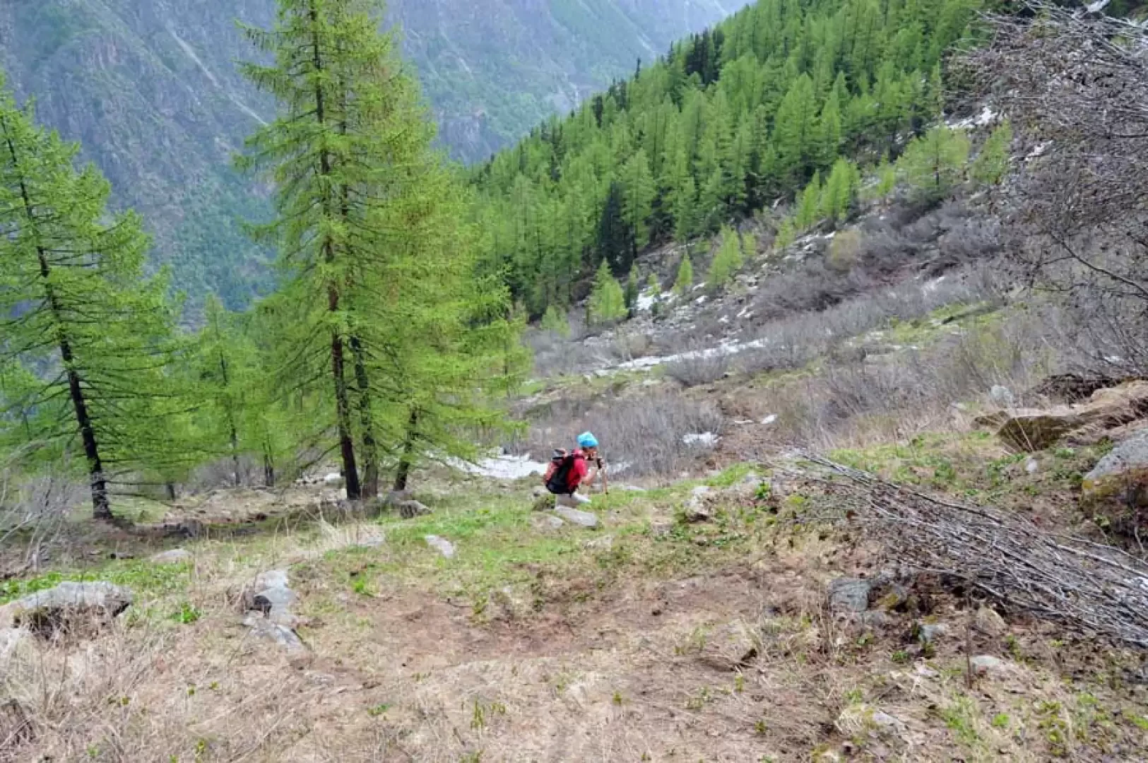
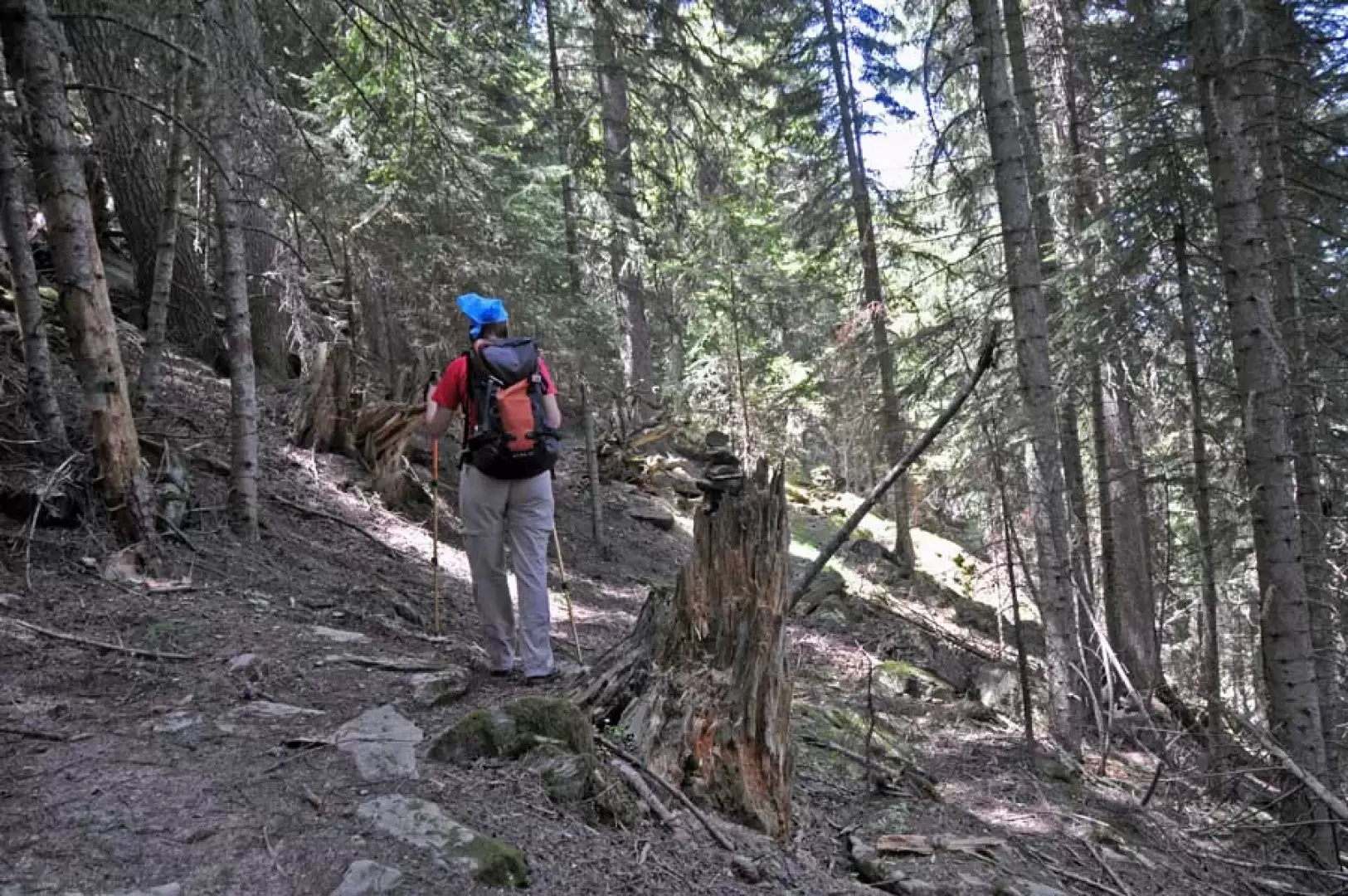
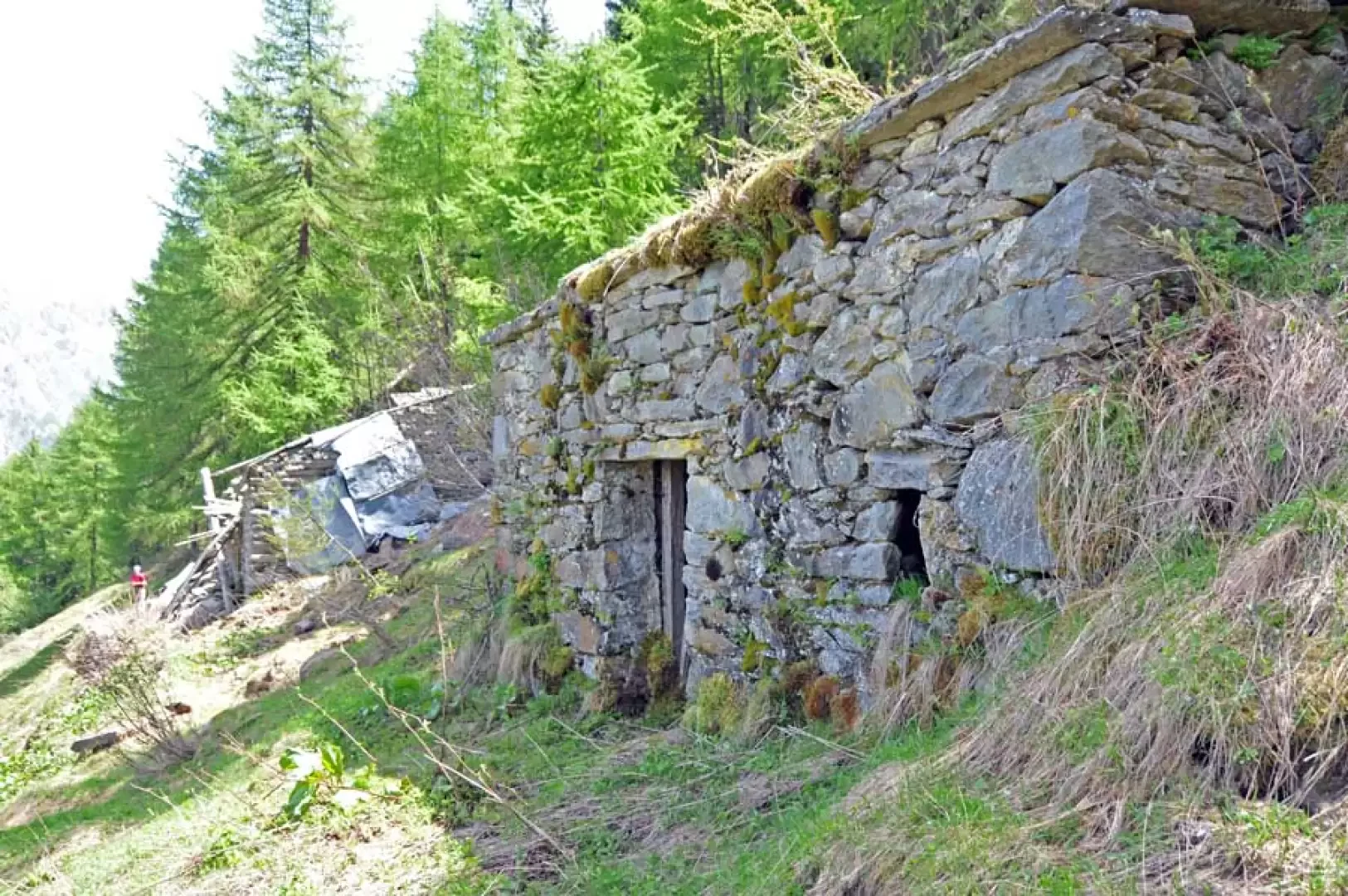
From the road, climb up the path that starts at a notch in a stone retaining wall and winds its way with a few non-steep hairpin bends through the beech and birch forest. You soon come to a ruin and then, just afterwards, to a beautiful hut (1373m) on the edge of the Plan Pessey pastureland plateau. Walk along the obvious track that cuts across the slope and you will come above two huts and from that point (1419m) take an unnumbered but clearly marked path that branches off to the right, right at a marker for the Gontier bivouac. At first it ascends obliquely and then, with an interminable series of hairpin bends, it climbs back up through the beautiful centuries-old coniferous forest, passing a fork (1607m) where it continues to the left; the slope is always continuous and quite steep and it is not difficult in this stretch to meet some chamois descending or climbing up the steep slope. Continuing the ascent, you approach the side of the rocky rib at the end of which the hut is situated, cross a stream and arrive in more open spaces just below a large gully on which the avalanches coming from the wide comba above fall. Now the path bends to the right and climbs a steep but short grassy ridge and, continuing on the right, crosses another avalanche cone, arriving near a ruin built under a large rock; from here, continuing halfway up the slope with the gradient decreasing, you skirt a small grassy promontory and shortly arrive in sight of the Arpissonet pasture, where just beyond is the hut, which is only seen at the last moment.
When, on the descent, you return to the crossroads at an altitude of 1607m where there is a small stone cairn on a log and you have about ten minutes to spare, you can turn left and continue along the little-used but evident path, which with a few gentle ups and downs arrives at the old ruined alpine pastureland of Leutta (1651m): these are situated above a small pastureland in a panoramic position overlooking the valley of Cogne and the Mont Fallere area. Once back at the crossroads, descend along the same route as on the way up.
Photo gallery
Comments (0)
Sign in to leave a comment