Col Santanel, from Outrelève


Edited by:
Massimo Martini
Updated at: 04/05/2025
Access
At the motorway exit of Pont-Saint-Martin, turn left and take the SS26 to Bard; shortly afterwards turn left onto the regional road to Champorcher. Go up the entire Champorcher valley, and just before the main town, at a hairpin bend, turn left towards Outrelève. From here the road descends until it crosses the Ayasse stream and then climbs up again to the characteristic village of Outrelève, where it is possible to park your car in a large car park (13.5 km from the start of the ).
For those coming from the upper valley, we recommend exiting the motorway at Verrès, then turning right onto the road until the junction for Champorcher (8 km).
Introduction
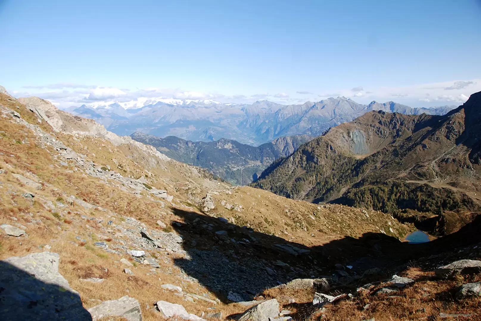
The Col de Santanel is a minor pass linking Champorcher, through the Valle della Legna, and Val Soana. A very fascinating and little-visited route, it can be considered as a destination in its own right, or it can be included in a long circular route with a return from Col Laris.
Description
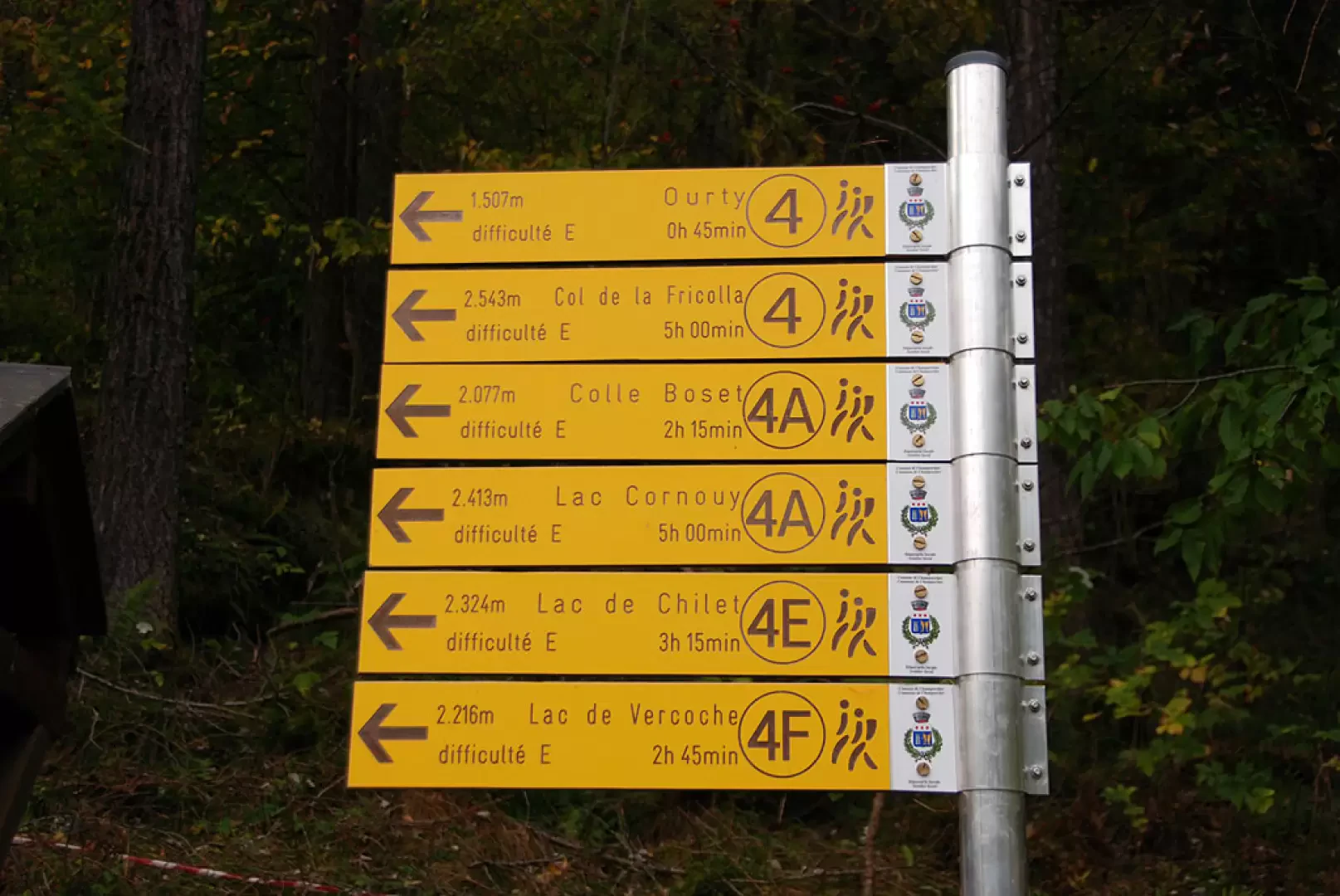
Leave the car and you will come across a few panels with maps of the area and signposts near the trailhead. Start walking along the mule track that leads to the Valle della Legna, signpost
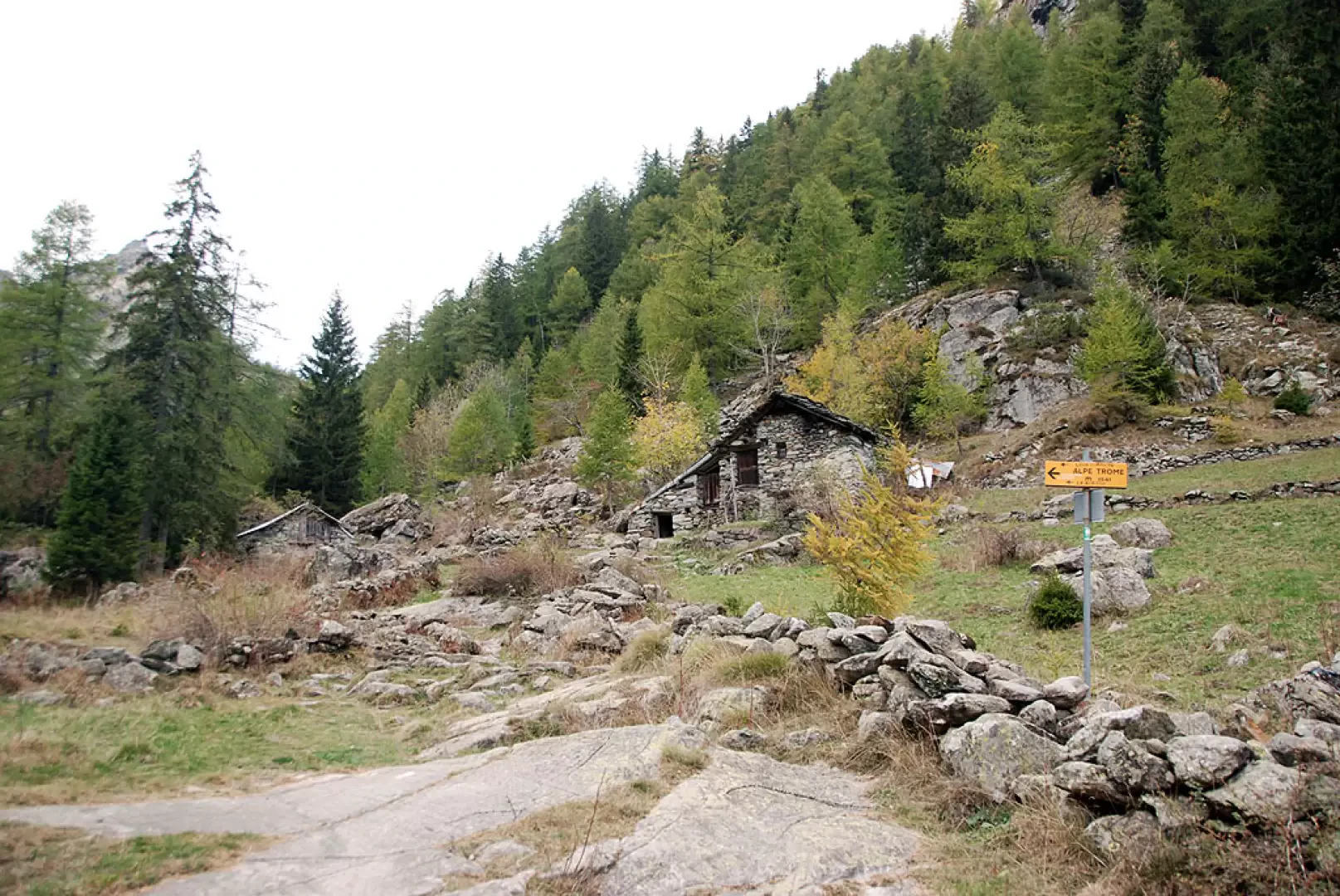
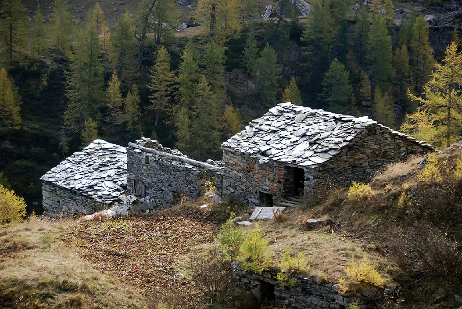
. The first part of the trail goes through a short pasture above the village of Outre l'Eve, with some ups and downs. One enters the forest and begins to climb gently on the beautiful paved mule track accompanied by a few votive shrines. A little further on, one reaches the abandoned village of Porte (1343m, 0h20'). Continuing on, we immediately come to the junction of Alta Via 2 on the right and, a little further on, vestiges of ancient irrigation systems. Leave the forest and reach a second fork: continue to the right, ignoring the path
for Troume, which descends to the left. After a few metres of ascent, you come to the cottages of Pian Bouc (1,363m, 0h25'); now continue slightly uphill among the larch trees along the gorges of the Torrent du Bois; as you leave the forest, you come to the Ourty pastures and the fork (1,485m, 0h40') for Lake Vercoche, marker
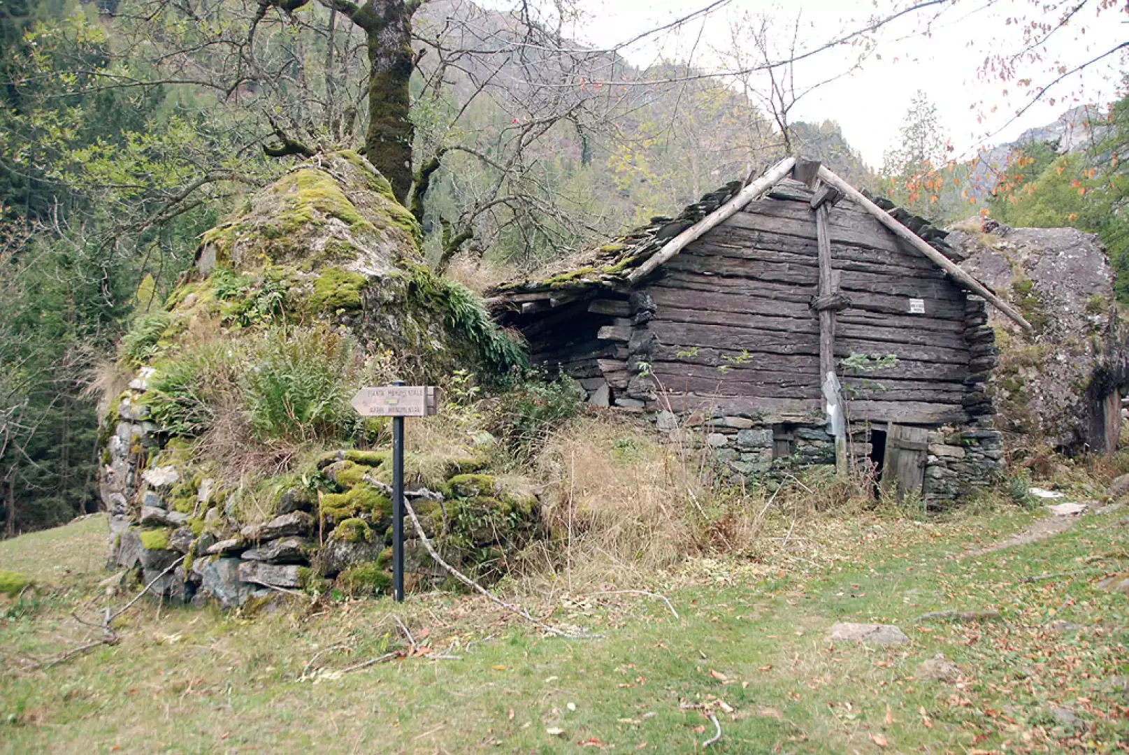
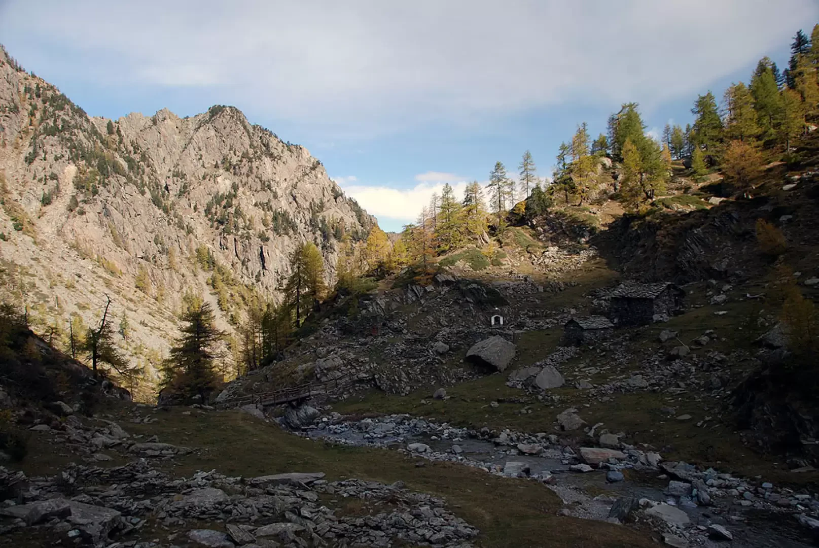
: continue left among the pastures until you reach a wooden bridge that takes you to the orographic right of the valley. Cross the small two-span bridge, which has recently been renovated, and ascend a beautiful pasture on a faint track that gradually becomes more evident as it ascends towards the wood. Once in the forest, cross a tributary and continue up the valley, taking a few twists and turns until approaching the stream near a peculiar clearing in the presence of huge rocks. Start climbing again on the beautiful paved mule track, which takes a couple of turns to regain altitude and reach a short stretch of path bordered by a railing; another uphill stretch takes you to the junction between path (4) and path (4E) just below Maisons Vieilles (1825m, 1h15').
Take path
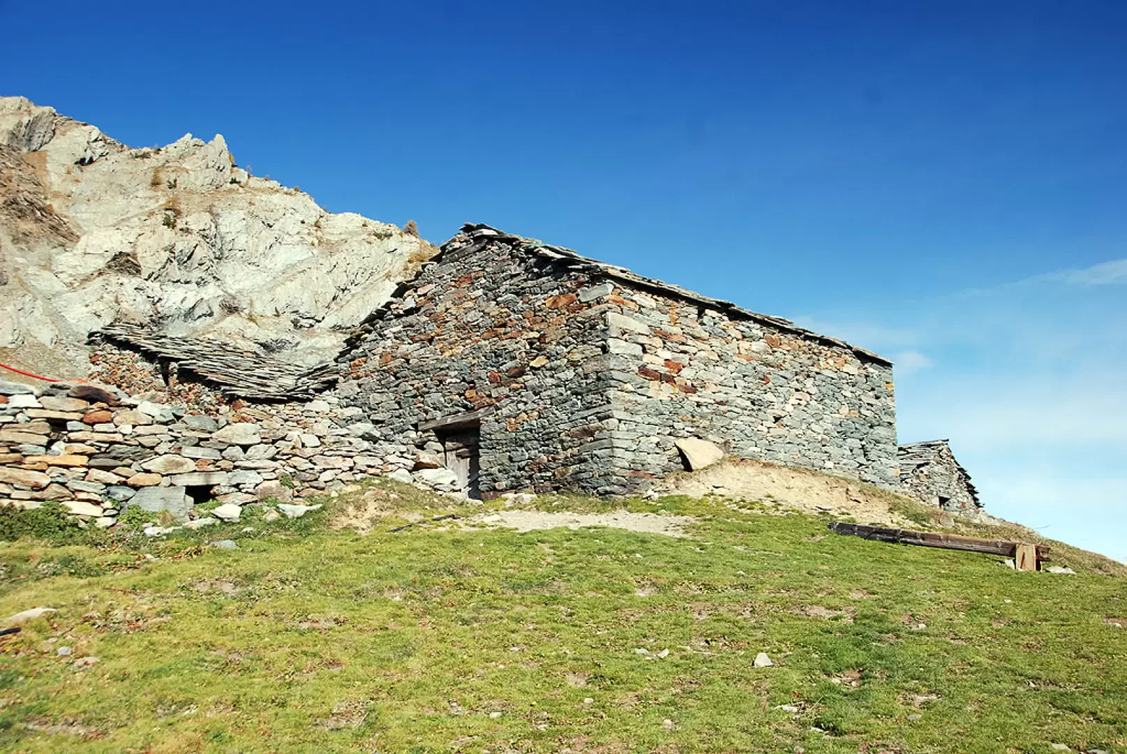
on the right that soon leads to a small bridge: cross the Torrent du Bois and take the orographic left of the valley. Follow the course of the Saint-Antoine plain with a few undulations and then begin the ascent by turning to the right and entering the larch forest. A few turns are made until reaching the ruined alpine pastures of Maisons Neuves (1929m, 1h 30'). The trail now turns to the right and, just above, to the left, cutting through the larch wood with a diagonal that leads to the pastures preceding Peroisaz. Climb up the pastures on the not-so-obvious path until crossing a small stream and proceed to the left halfway up the hillock on which the little hamlet is located. Now within sight of the houses, continue along the path, which is somewhat confused by cattle tracks, until you reach Peroisaz (2177m, 1h50').
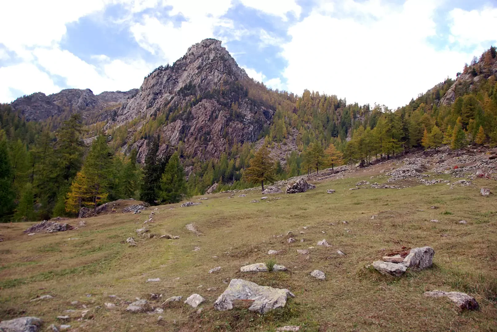
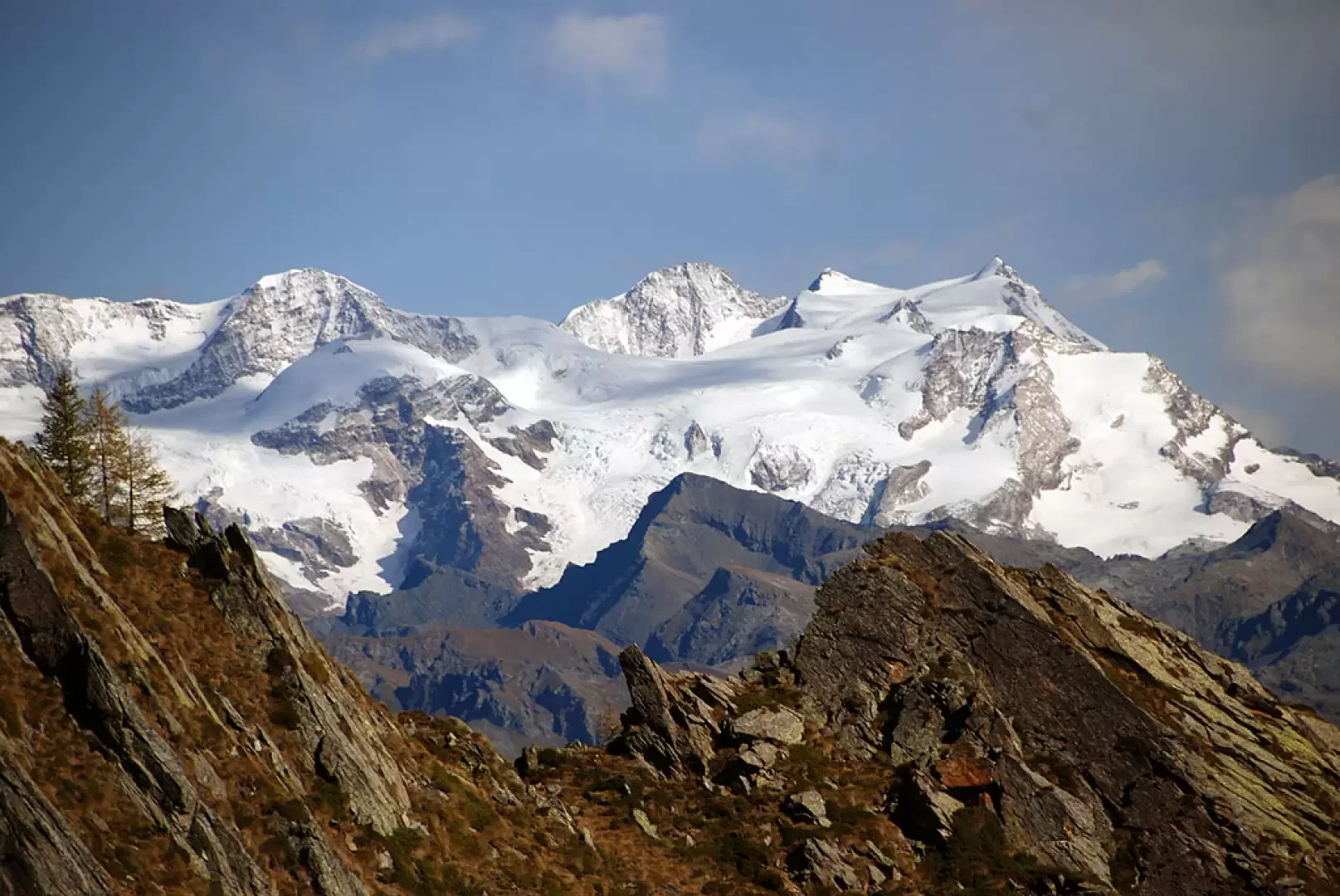
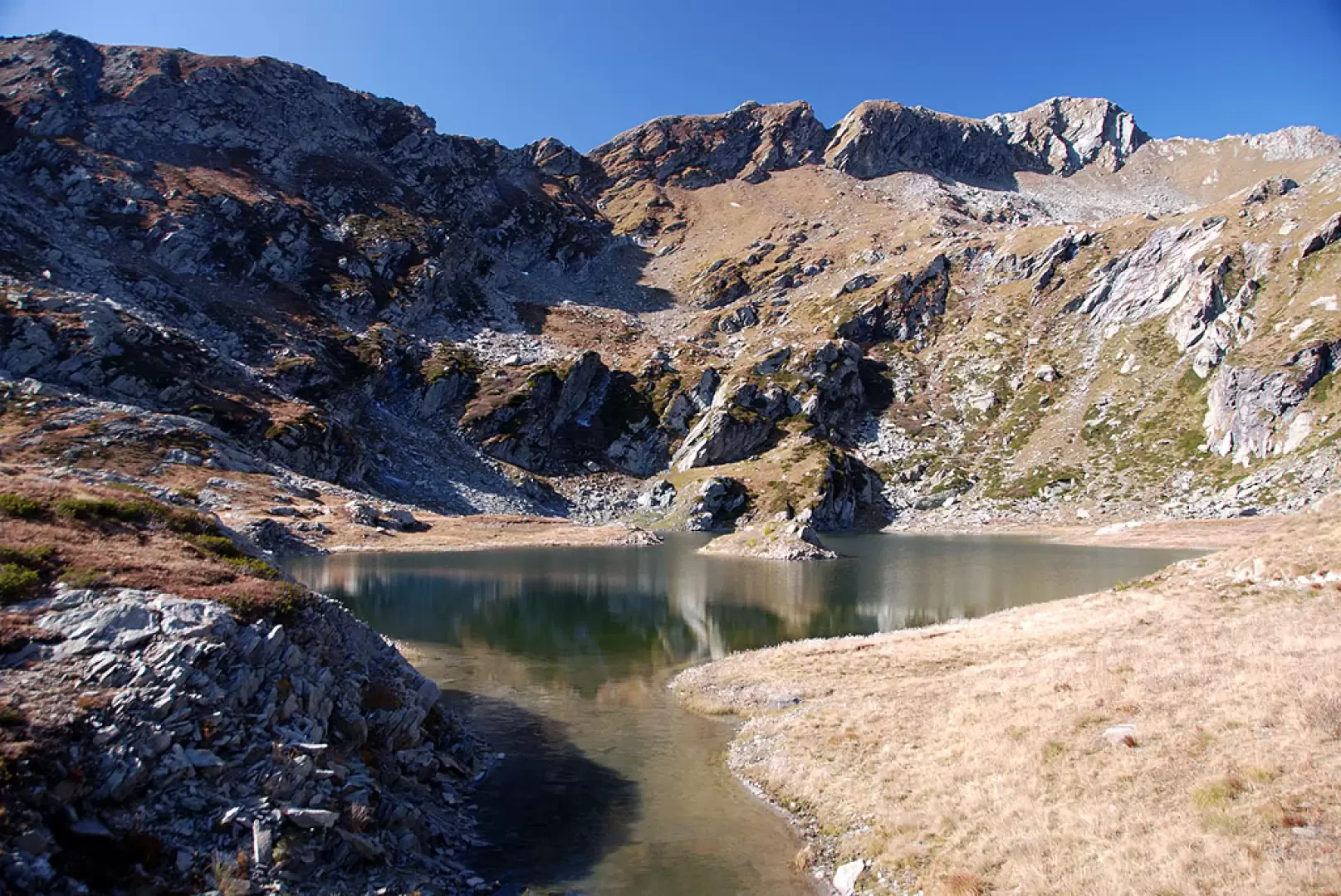
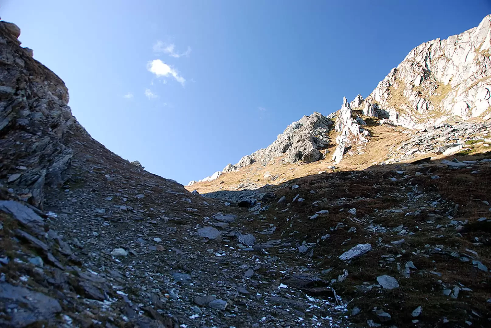
Go past the houses and then turn left at the foot of a lovely renovated farmhouse; the path now climbs slightly uphill on an open, clear and straightforward field until you see Chilet and a characteristic votive shrine. Turn right again until you come to a wide creek from which, after a few dozen metres, you can catch a glimpse of the lake. Descend briefly until reaching Lake Chilet (2,322m, 2h 30') with its small water dam. Leave the lake on the right and head towards a small saddle following the path that becomes more and more uncertain. At the small saddle, keep to the right, looking for some slightly worn yellow marks, and cross a band of stones, keeping above a small lake. Descend briefly and then ascend again in the direction of the valley that leads to the pass; still on intermittent trail marks, begin the final ascent. Following some sporadic yellow signs and keeping to the centre of the valley, go up practically in a straight line for the last hundred metres of difference in height until you reach Col Santanel (2463m, 3h00') where there is also a large cairn.
The descent follows the same route as the ascent (2h00').
Photo gallery
Comments (0)
Sign in to leave a comment