Col Fénis, from the Dondena car park
Access
Leaving the motorway at the Pont-Saint-Martin toll booth, after 100m turn left to follow the state road in the direction of Aosta. After 500 metres, take the second exit at the roundabout and continue on the state road for 3 kilometres to the next roundabout. Take the second exit and follow the regional road in the Champorcher Valley. Continue on the regional road for 14.7 kilometres up the valley and through the villages of Hône and Pontboset before reaching Château, the centre of Champorcher. Turn right, following the signs for Dondena and climb up the little communal road for about 7.9 kilometres until you reach the Dondena car park 🅿️ where you can leave your car.
[0h52'] - [30.6km]
How to get there with GMaps
How to get there with Apple Maps
The information provided here has been verified as of the date the route was surveyed. Before setting off, it is advisable to ensure that no substantial changes have occurred on the route to the starting point. We therefore recommend the use of the satellite navigation apps provided by Google or Apple for up-to-date and detailed directions.
Introduction
The Col Fénis separates the wide Champorcher valley from the Vallon de Clavalité. It is a pass that is not much frequented and often crossed as a transit route for other hikes given its proximity to the next Col Pontonnet. The excursion can nevertheless be a rewarding destination both for the panoramic views offered along the way and for the simple transit on the ancient royal roads built for the hunting parties of Victor Emmanuel II. The kilometric development is quite sustained but there are no particular roughnesses in terms of gradient.
.Description
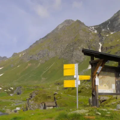
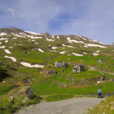
0h00' Leaving the car in the clearing next to a large wooden panel bearing the map of the municipality of Champorcher, proceed downhill towards the Ayasse stream following the dirt road with the sign. After "fording" the stream, you begin the ascent, first passing near the ruins of the former Albergo Alpino, then coming across some characteristic alpine pastures, and finally reaching the Dondena Refuge (2110m).
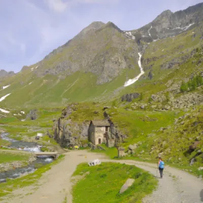
0h15' Having passed the Refuge, continue along the little road that runs on its right and begins to enter the Ayasse valley: we are proceeding on the same itinerary as the Alta Via . As you follow the route, under the stern gaze of Mont Dela (3139m), you will come to the turnoff for Col Fussy and Mont Glacier (3186m), path ;
0h35' Neglect the diversions to the right and continue turning slightly to the left to climb a slight incline. Afterwards, after a slight bend to the right, the path proceeds on a slight slope until reaching a second fork: take the path to the right that leads to the Col de Fénis.
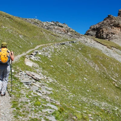
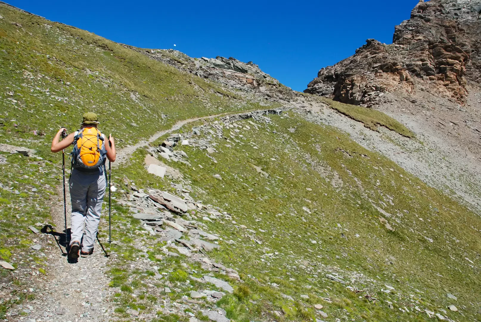
0h55' Turn right and proceed for a short stretch on the flat, on the traces of an old mule track. Turn right and walk slightly up and down until you reach the Miserin stream: cross it on a small bridge and continue halfway up a small ridge until you reach the Lac Blanc basin. You now proceed with a series of twists and turns, quickly gaining height and reaching the vicinity of a pylon, and from there you enter the small valley that precedes Lake Pontonnet. The destination, Tour Ponton, is now clearly visible. We skirt the lake and take the Chemin du Roi (old mule track used by Victor Emmanuel II on his hunting trips). You reach the mule track at the height of an 1889 memorial stone and proceed to the left on the beautiful paved road. Climb the last section of the Pontonnet valley and, after a couple of twists and turns, you arrive at Col Fénis (2857m) 2h30' from where there is a splendid view over the Clavalité valley.
The descent takes place along the same route as the ascent 1h40' ; or you can make a small loop by continuing straight on at the 1889 memorial stone and following the Chemin du Roi to the junction for Col Moussaillon: Here, turn right and descend until you reach the start of the path and the track that leads to the Dondena hut and the starting point 1h55'.
Punti di interesse
- Falesie di Dondena
- Torrent Ayasse
- ex Albergo Alpino
- Dondena
- Rifugio Dondena
