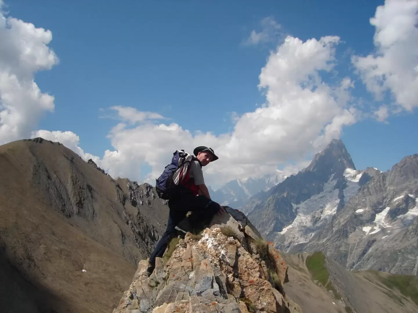
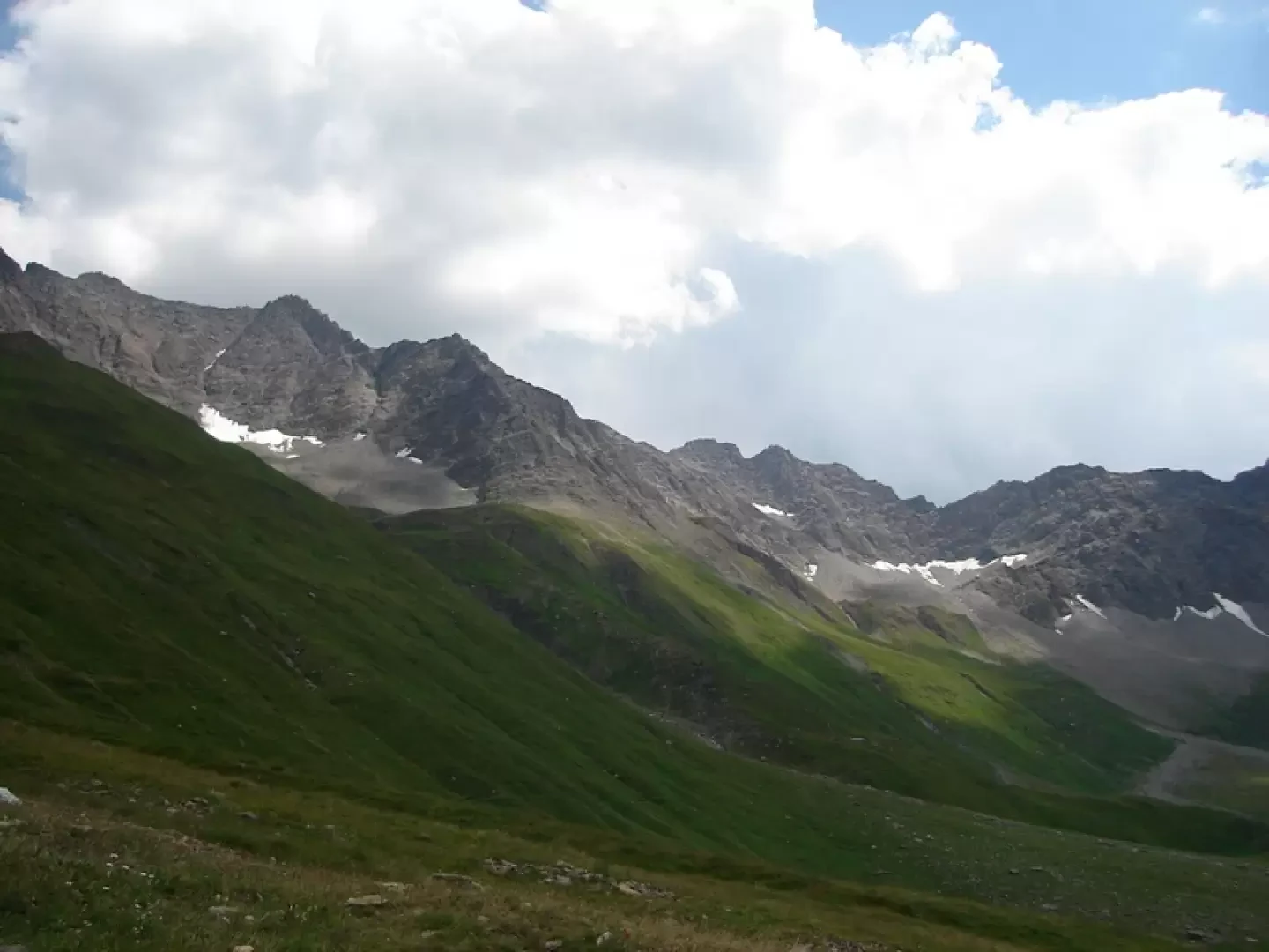
Col du Ban Darrey, from Arp Nouva


Edited by:
Benedetto Lorusso
Updated at: 06/04/2026
Access
Navigazione stradale
Lasciare l'autostrada allo svincolo di Aosta Ovest e immettersi a destra sulla strada regionale per la valle di Cogne. Dopo 400m (0,4km) alla rotonda prendere la seconda uscita entrando nella strada statale , da seguire per 32,4km (32,8km), attraversando e costeggiando gli abitati di Saint-Pierre, Villeneuve, Arvier, Avise, Derby, La Salle, Morgex e Courmayeur, sino a raggiungere l'uscita per Larzey – Entrèves sulla . Svoltare a destra e imboccare la percorrendola per 4,0km (36,8km) fino a Entrèves. Proseguire su Strada la Palud per 11,1km (47,9km), superando La Palud, Planpincieux e Lavachey, fino al termine della strada in prossimità di Arp Nouvaz.
Parcheggio
Al termine della strada, dopo aver attraversato la Dora di Ferret su un ponticello in legno, si trova il parcheggio 🅿️ di Arp Nouvaz in fondo alla macchia boschiva. Nel periodo estivo (luglio e agosto) l'accesso è regolamentato: normalmente è consentito prima delle ore 8:00 sino a saturazione dei posti disponibili; dopo tale ora è disponibile un servizio navetta con partenza da La Palud. Per informazioni aggiornate consultare la sezione apposita del sito del comune di Courmayeur.
Accesso con mezzi pubblici
Per raggiungere il punto di partenza dell'itinerario è necessario un mezzo privato. Nel periodo estivo è attivo un servizio navetta 🚌 da La Palud; verificare orari e disponibilità sul sito del comune di Courmayeur.
Distanza e tempo di percorrenza
🕒 Tempo di percorrenza: 57 minuti
📏 Distanza: 47,9km
Navigazione GPS
Nota informativa
Le indicazioni fornite sono state verificate alla data del rilievo dell'itinerario. Prima della partenza si consiglia di verificare possibili variazioni del percorso o delle condizioni stradali. Per informazioni aggiornate si raccomanda di consultare Google Maps o Apple Maps.
Description
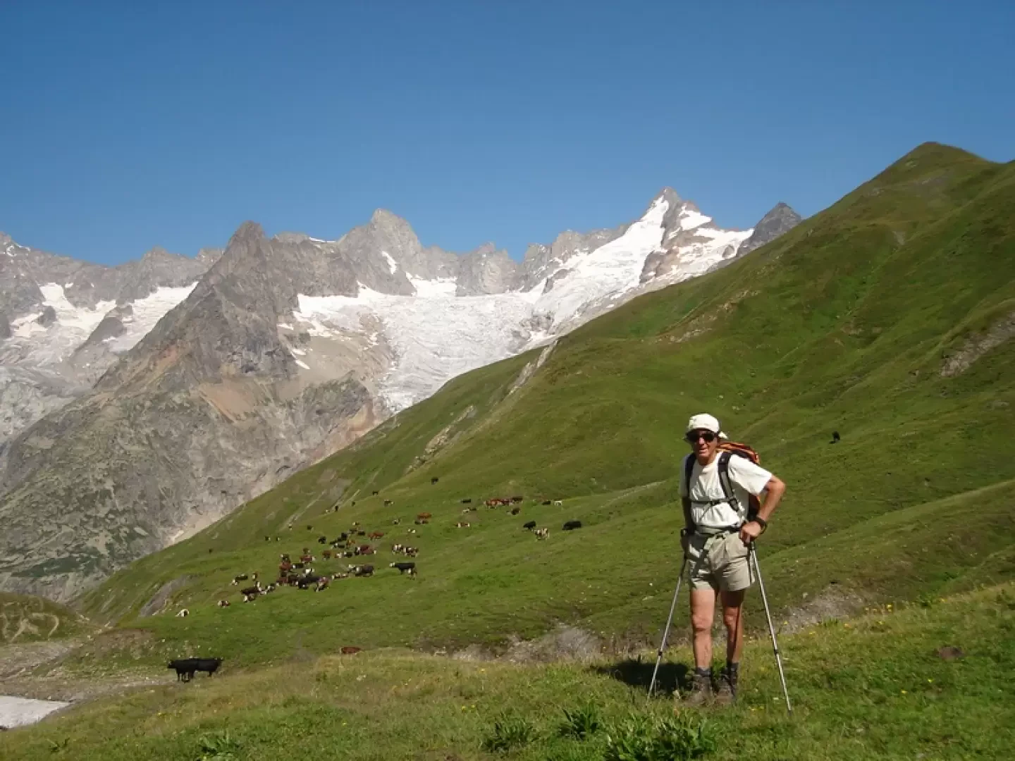
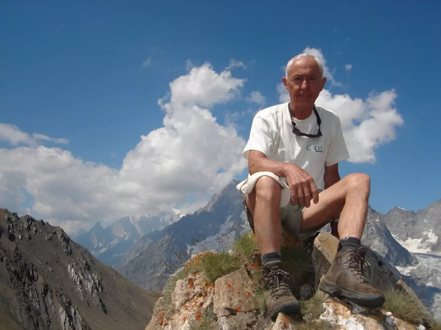
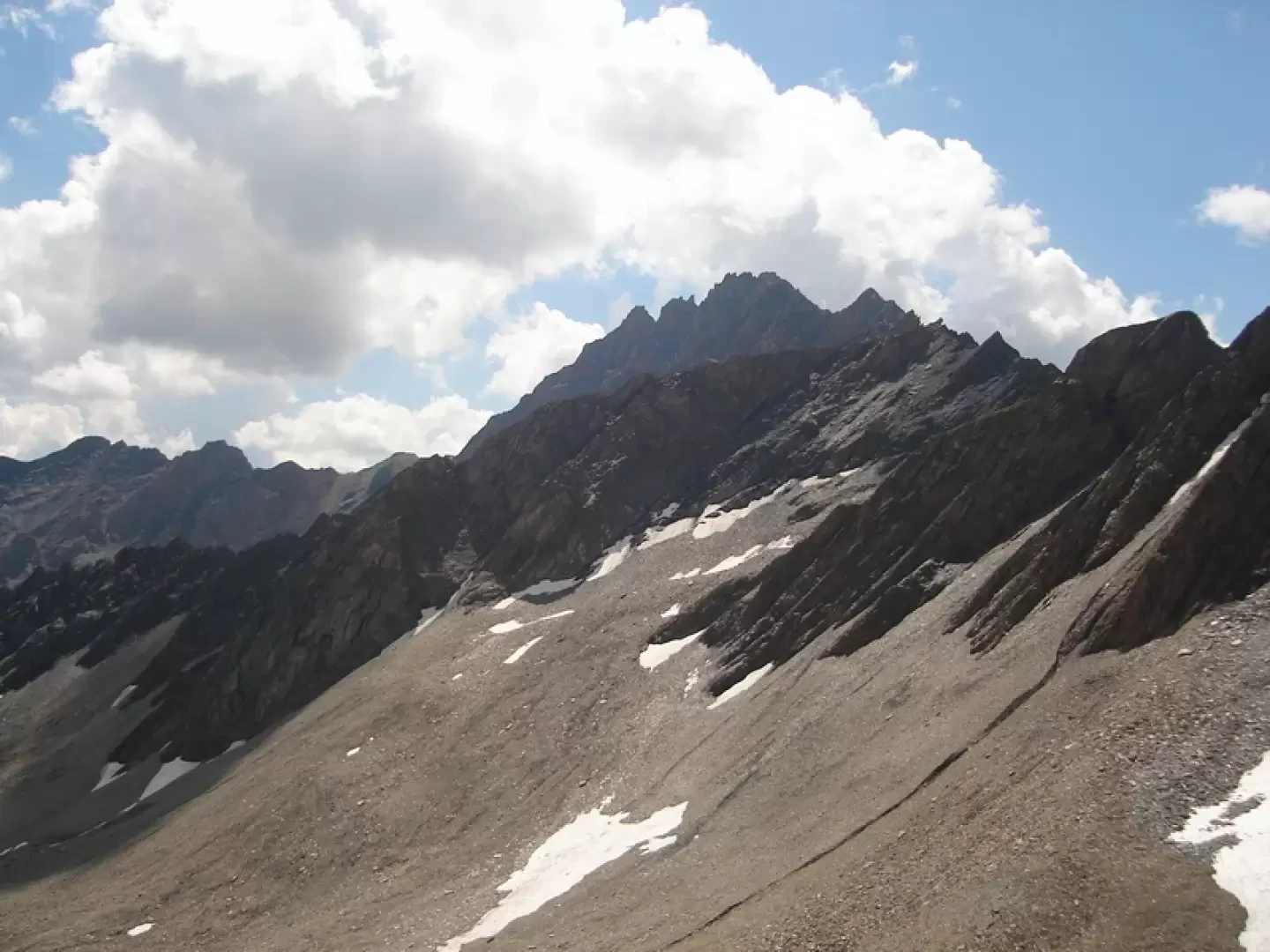
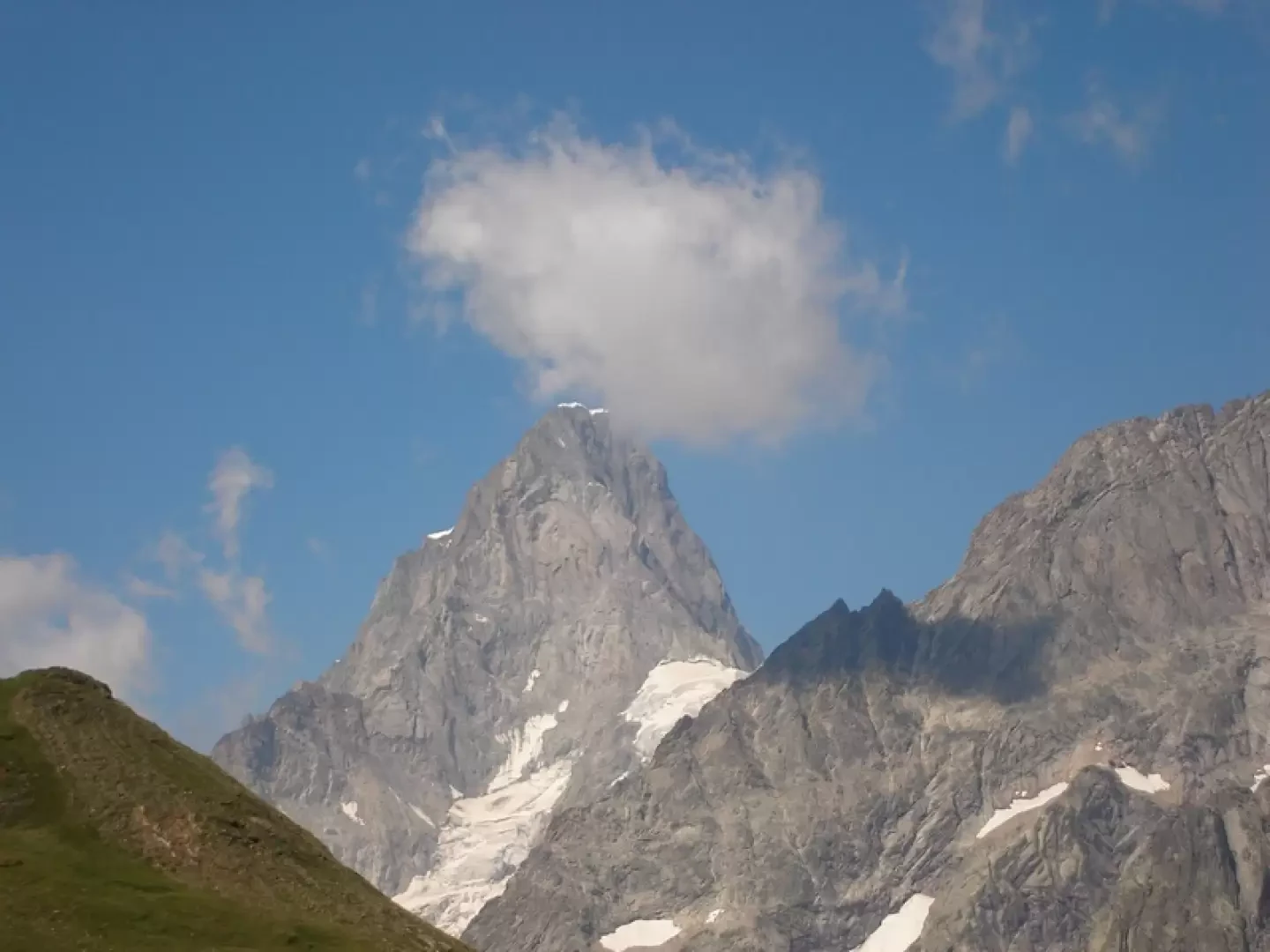
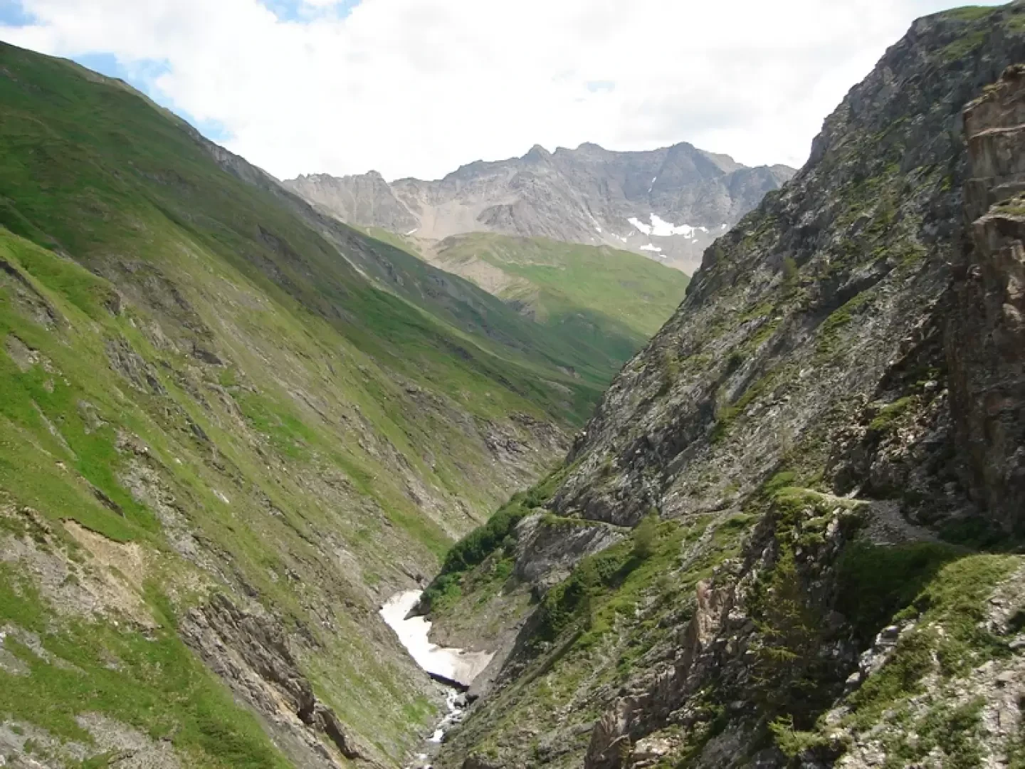
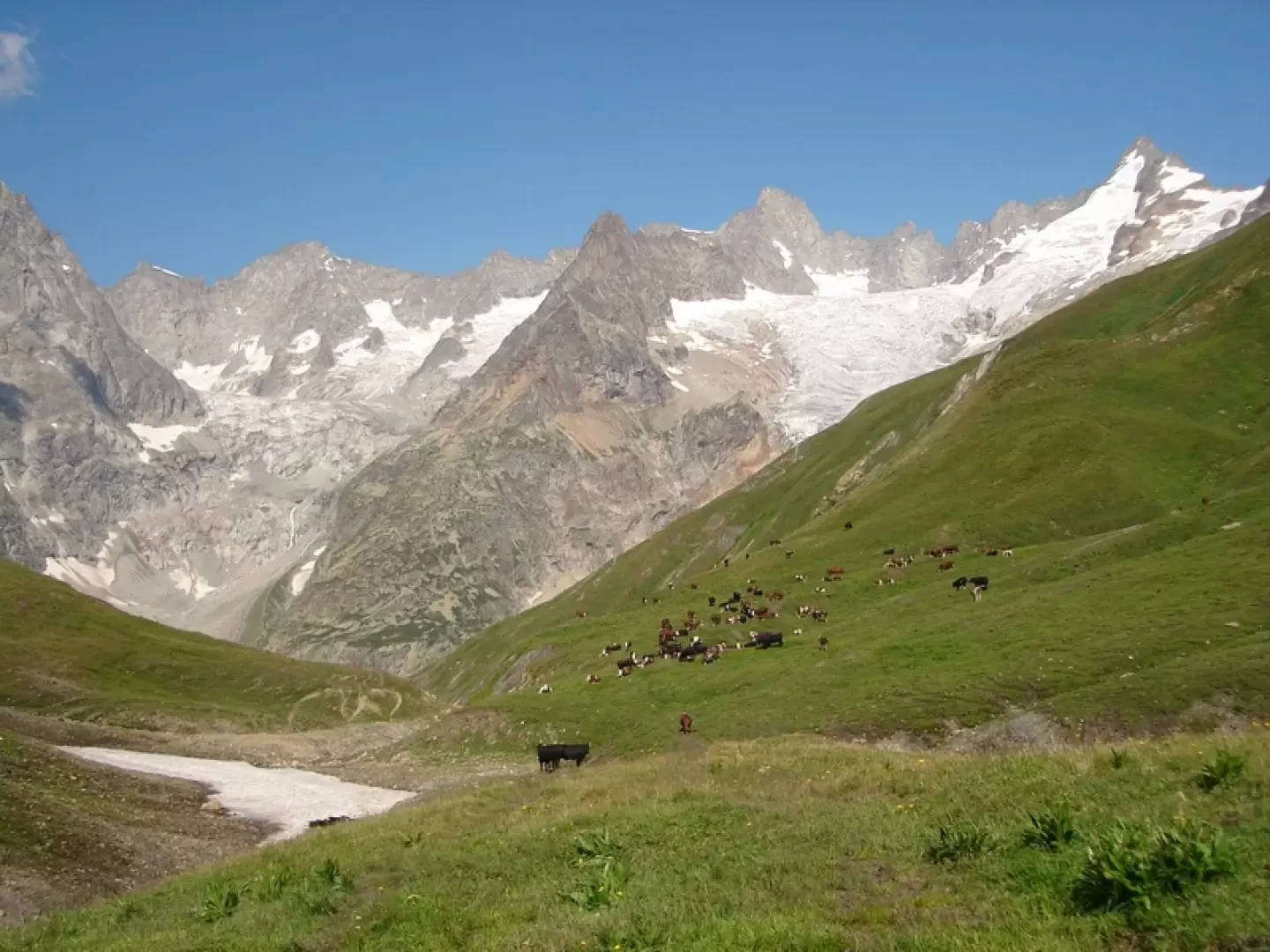
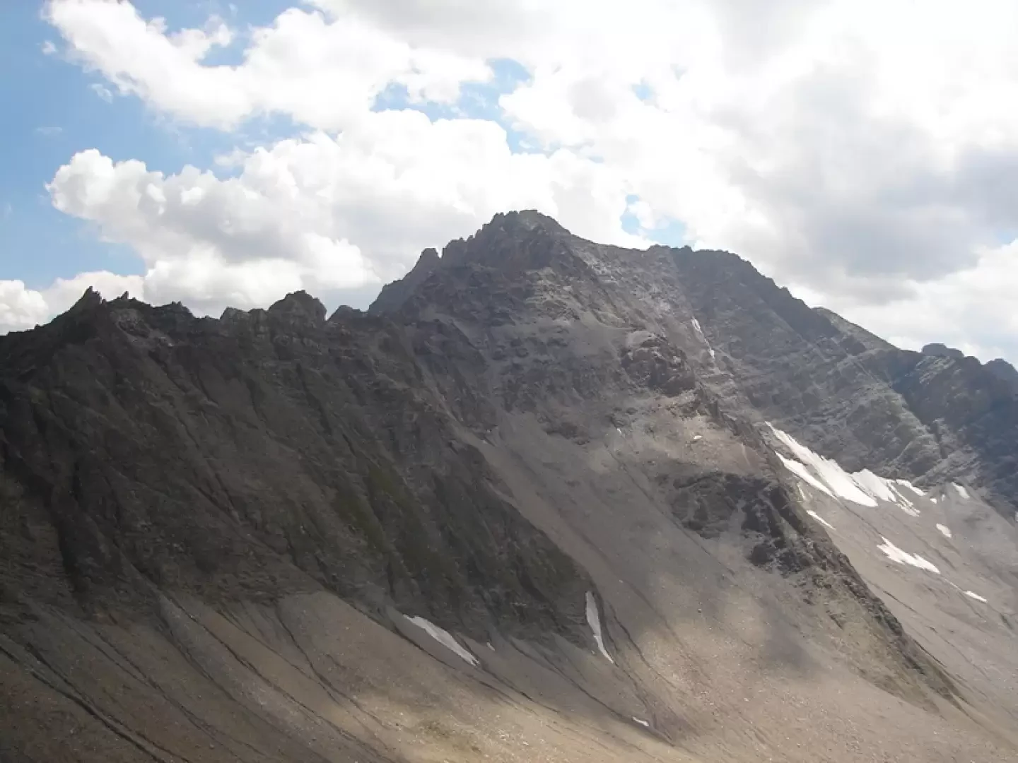
Take the path from the last car park that goes directly up to the Elena refuge, continue towards the Gran Ferret pass, as far as the ruins of an old alpine pasture, then descend to the right along a little path, entering the Ban Darrey valley. Still following the trail, go up the entire valley, crossing the stream on the right and taking a more marked path that climbs up to the centre of the rocky outcrop and crosses it on the left. Continue climbing to the bottom and reach the Ban Darrey pass, m.2695. Possibility of ascending to Pointe de Combette, a beautiful panoramic point. From the pass, descend along an evident path and then several shepherd's paths, all the way down the Ban Darrey valley, always keeping to the right (to the left of the stream) until you reach the more marked path that leads to the Mont P. huts (2023 m) and then to the clearly visible bridge that crosses the stream and the dirt road that leads to Ferret. Now descend for approx. 10 minutes, then by path, climb up to the right to the clearly visible Plan de la Chaux alpine pasture (2040 m) where you meet the path and signs leading to the Fenetre lakes. Past the first lake (signpost) there are two possibilities. 1) Continue along the hiking trail that climbs to the Fenetre de Ferret pass (m. 2697), descend the opposite slope for a short distance, then take a little path to the left that first crosses, then climbs to a saddle from where the pass road is clearly visible. Descend the entire little valley to a tunnel (with a small car park, 2400 m). Go through the tunnel and after about 200 m, take the well-marked path to the left that leads to the pass in less than half an hour. Time approx. 6 hours, height difference in ascent 1600 m., in descent 1000 m. 2) EE After passing the first lake (2460 m. - signs) cross to the left and go up the entire valley to the crest (stay in the middle). Follow the ridge to the left (well-marked tracks) and reach the Pointe de Drone, m.2949, with grade I rocks facilitated by fixed ropes. Descend by trail tracks to the right to reach the other ridge leading to the summit of Grande Chenalette (2888 m). Descend and cross the large scree slope heading right towards the Petite Chenalette peak (2664 m). On reaching the summit, descend along the ferrata (easy) then along the path to the hospice and then to the pass. (250 m. of additional height gain). Time from the lakes, 2 hours and 30 minutes, total approx. 6/7 hours. 3) From the pass, it is possible and convenient to carry out the tour (very beautiful and interesting), going up from the hospice by path to the Petite Chenalette and following the previous route back down to the lakes and by path (itinerary 1) return to the pass. Various possibilities for the return journey. 1 - Overnight stay at the hospice. 2 - Public transport or arrange your own vehicle. It is also possible to return during the day, if well trained, but a total of 14-15 hours, including a stop at the restaurant. Photo gallery
Photo gallery
Comments (0)
Sign in to leave a comment