Col des Orgères, from Monquet


Edited by:
Ivano Ruffoni
Updated at: 19/07/2025
Access
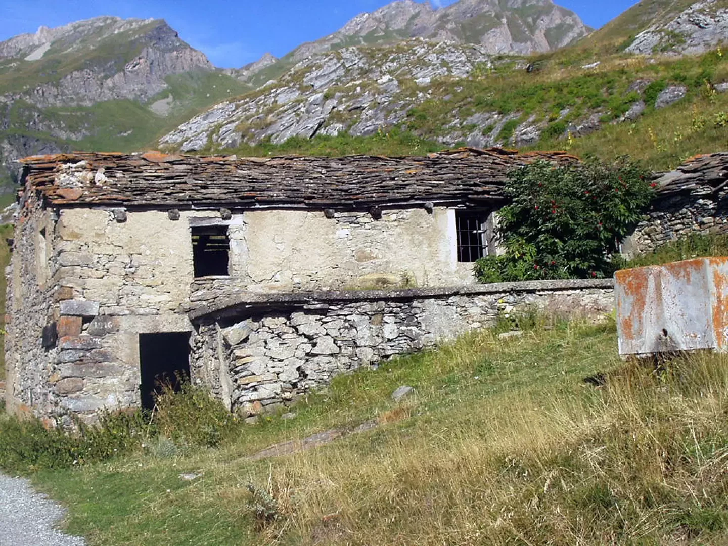
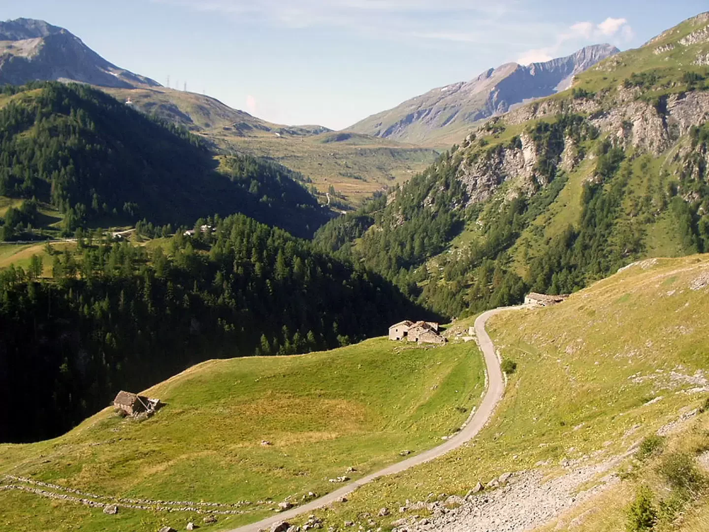
From the Morgex exit of the motorway, go up state road 26 to Pré-Saint-Didier and from there head towards La Thuile. On reaching La Thuile, climb up towards the Petit St Bernard Pass to the junction before the Pont Serrand car park (1611m). Take the tarmac road to the right, which, after a few hairpin bends, reaches the houses of Orgère. Park near some small clearings near the hamlet of Monquet (1907m).
.Introduction
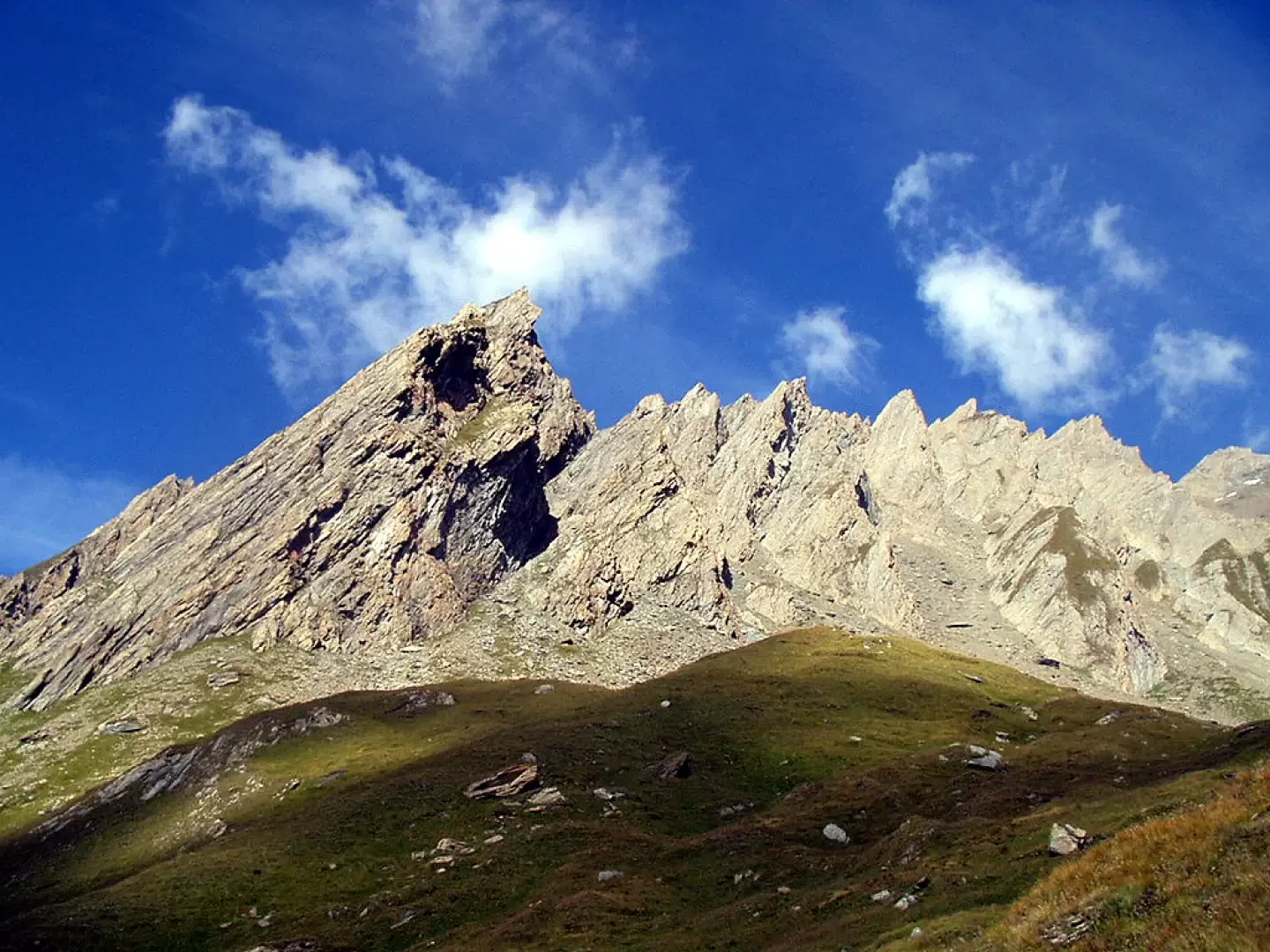
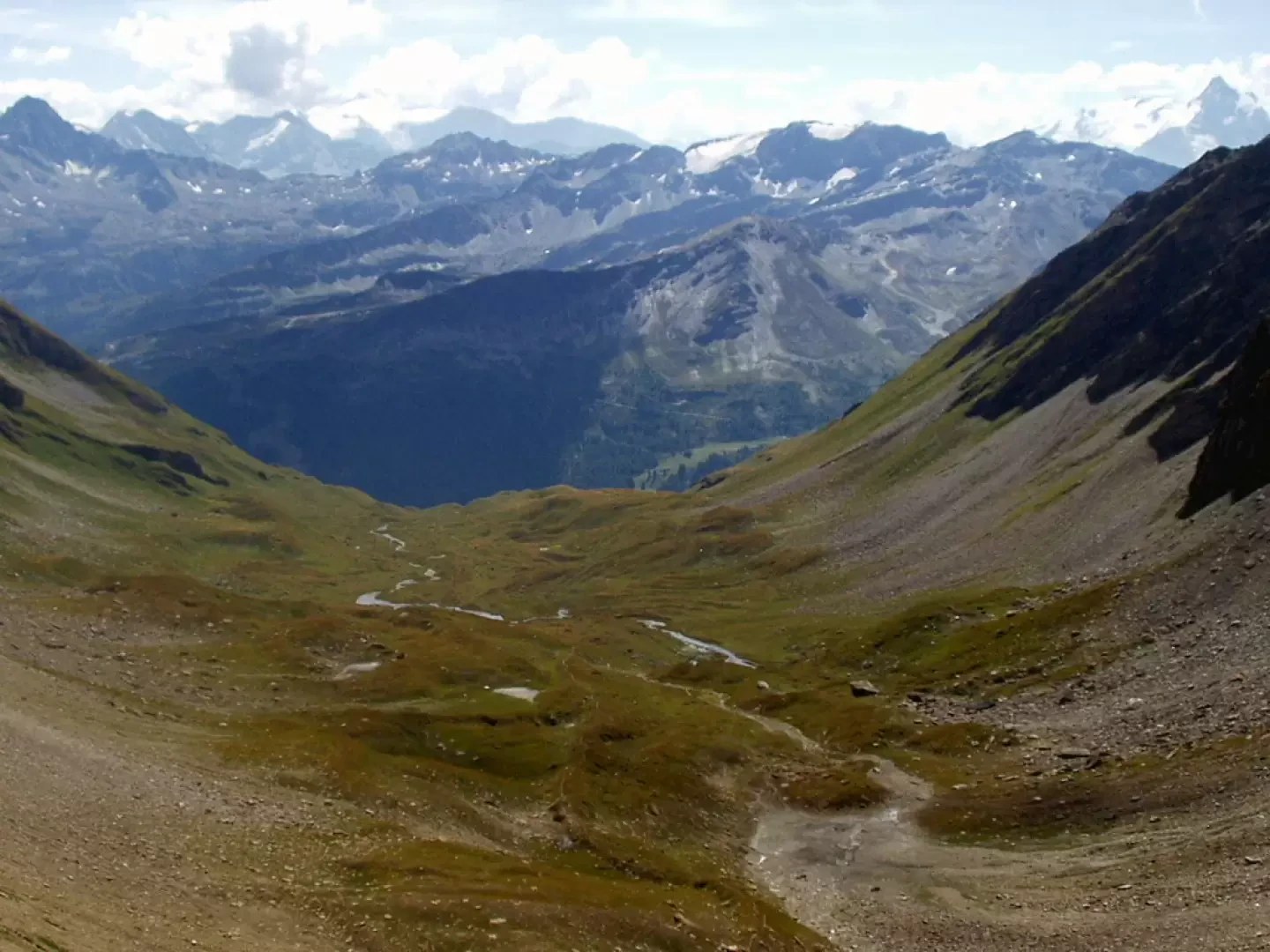
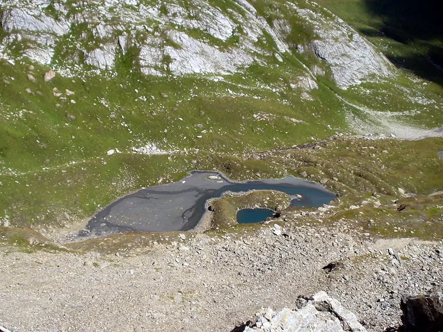
The Col des Orgères, at the head of the valley of the same name, separates the eastern slopes of Mont Berrio Blanc from those of Mont Belleface. The proposed itinerary runs the entire length of the bucolic Vallon des Orgères, past small lakes and ponds.
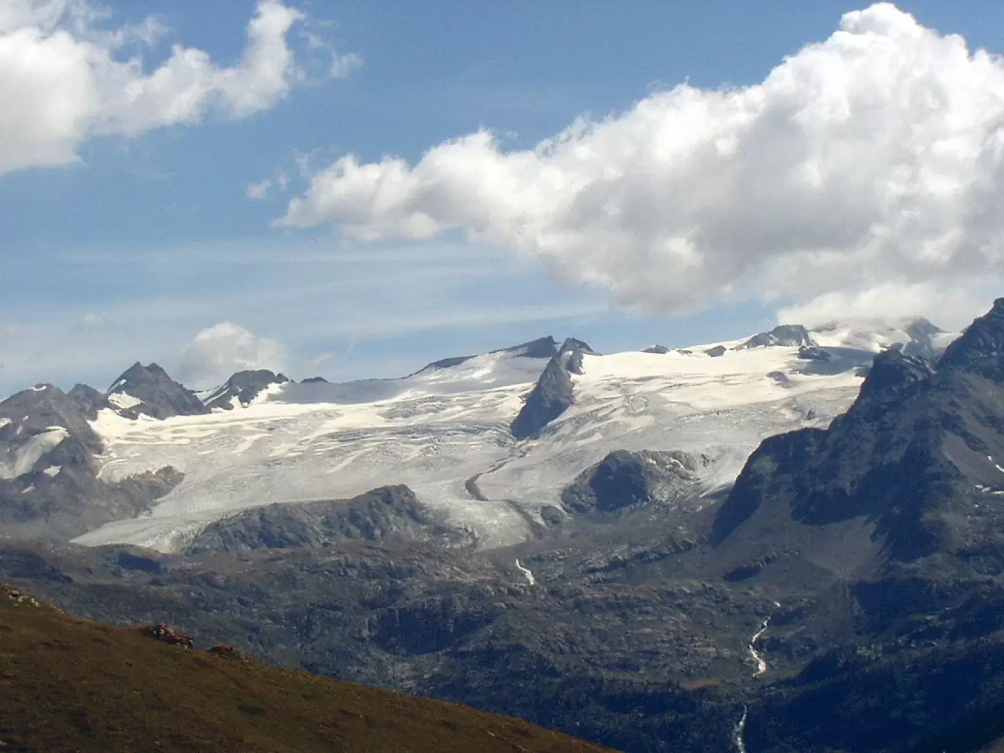
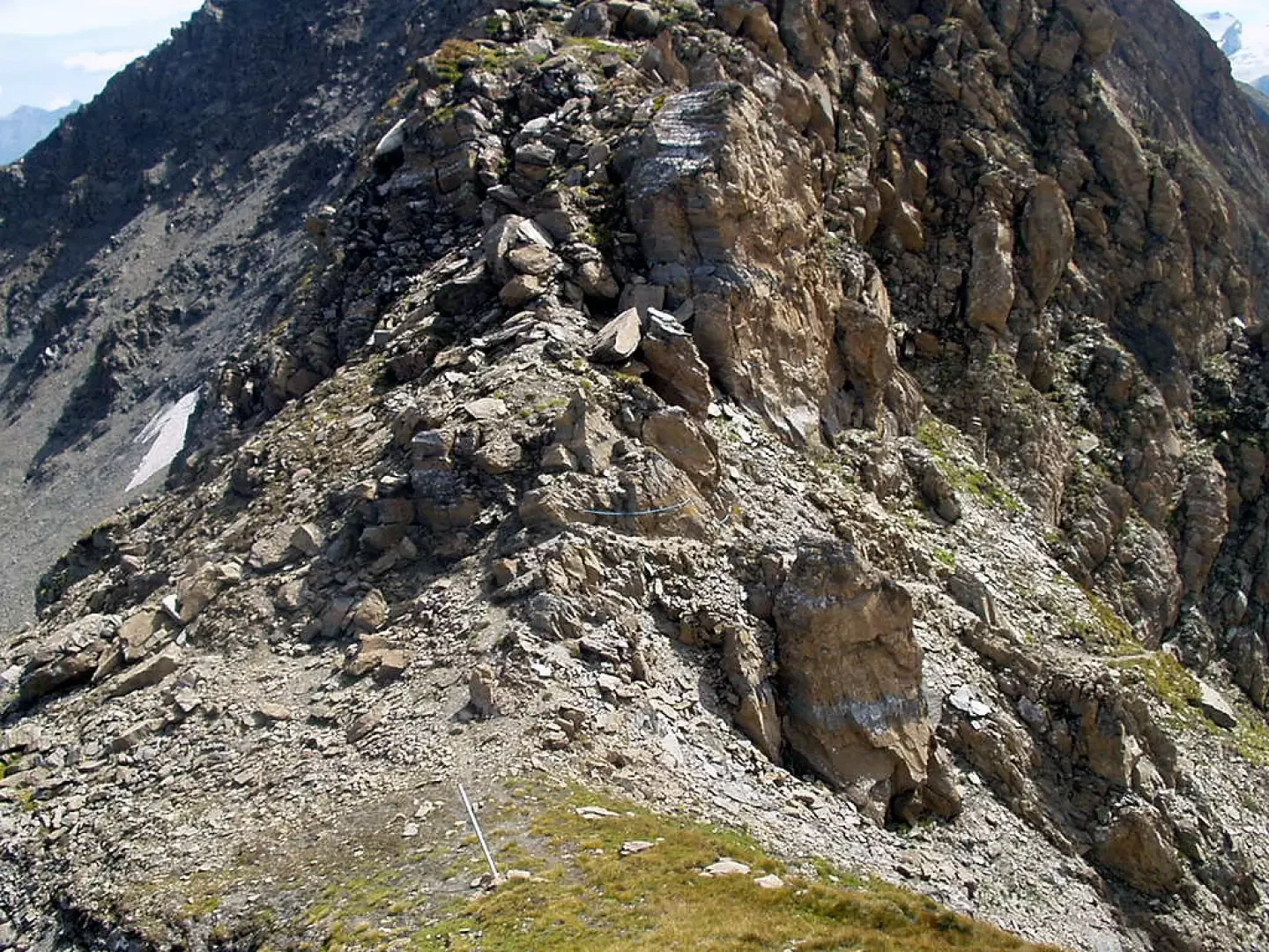
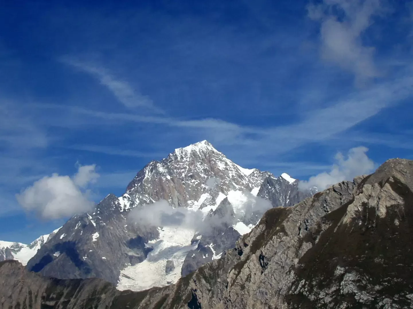
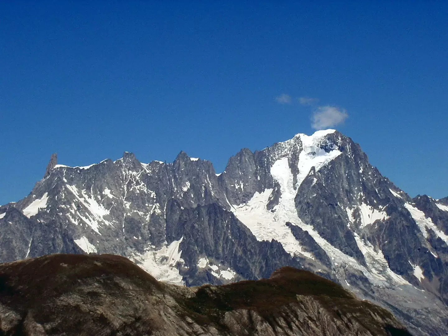
Experienced hikers are advised to ascend the narrow and exposed (be careful) left-hand ridge to a panoramic balcony overlooking Mont Blanc, Les Grandes Jorasses, Val Ferret and the Lacs de la Plate.
.Description
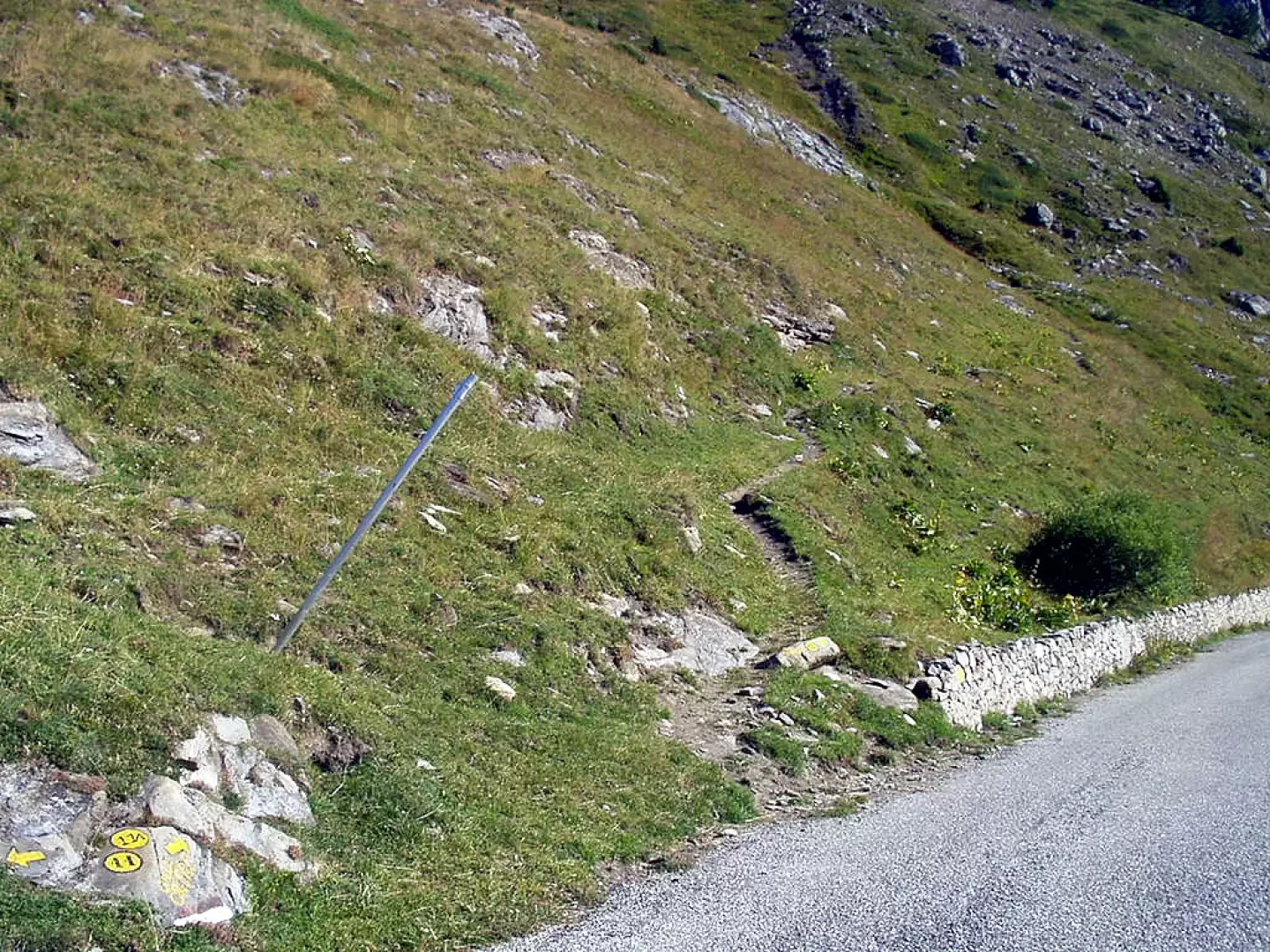
Following the tarmac road, after Monquet, take the path on the left, marker
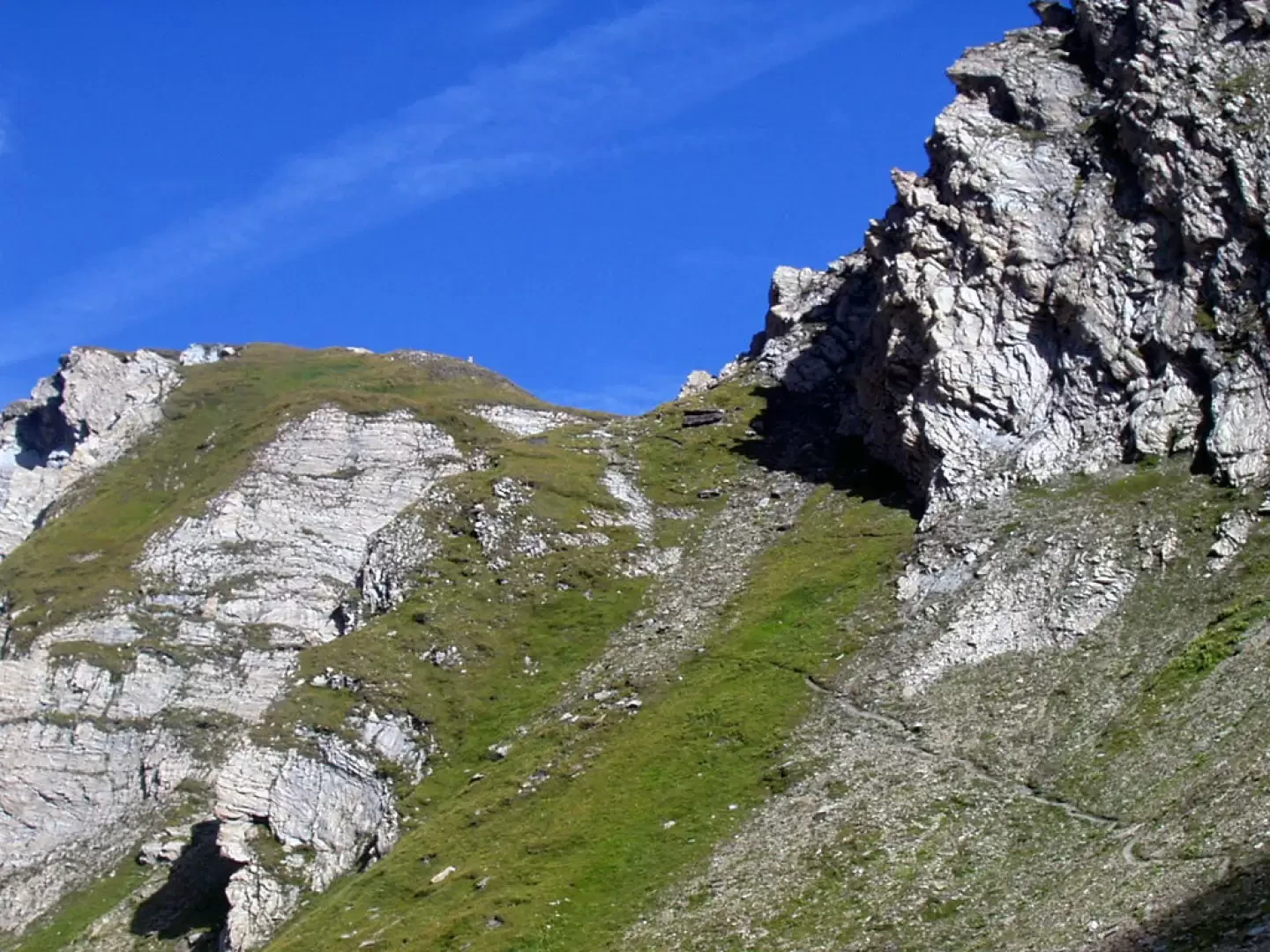
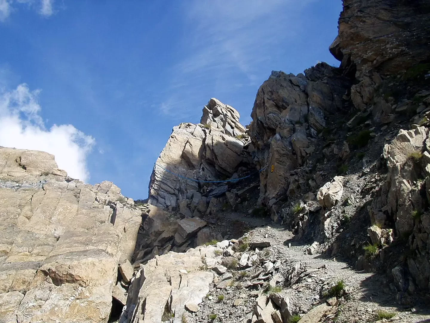
, which, with a long diagonal under the grassy slopes of Mont Comb Varin, reaches the notch of the stream descending from the valley. Note the magnificent panorama of the Rutor gorge behind you. Between a few bumps, climb up to a first plateau populated by numerous marmots and, following the bends of the torrent, between the southern slopes of Berrio Blanc on the left and the walls of Mont Belleface on the right, pass a few puddles and small lakes. With a modest slope, climb up to ford the torrent and reach the upper shelf. Having passed a few bumps and grazed a few more ponds, go up to the right, cross a scree slope, and, with a final climb, under the rocks of the north face of Mont Belleface, after a short section of a few metres that is a little exposed (but protected by a rope), you are at the Col des Orgères (2708m, 2h15').
The descent is by the same route.
Photo gallery
Comments (0)
Sign in to leave a comment