Col des Chavannes
Access
Raggiunta l'uscita dell'autostrada di Morgex si risale la strada statale 26 sino a Pré-Saint-Didier e da qui ci si dirige verso La Thuile. Raggiunta La Thuile salire verso il Passo del Piccolo San Bernardo fino al bivio che precede il parcheggio di Pont Serrand (1611 m). Si prende a destra la strada asfaltata che, dopo alcuni tornanti, raggiunge le case di Orgère e successivamente le case di Porassey (1860 m), dove si parcheggia.
Introduction
Description
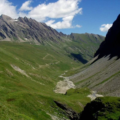
0h00' We now follow the valley's dirt track, marked Alta Via /2\2, which, after a short while, turns right over the ridge, allowing a wide view over much of the lower Chavannes valley.
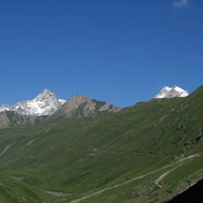
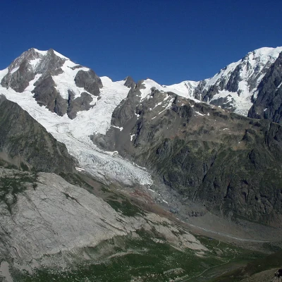
The climb is gentle and long with an increasingly full view towards the Aiguille de Trèlatête to the north-west and Rutor with its glacier to the south-east.
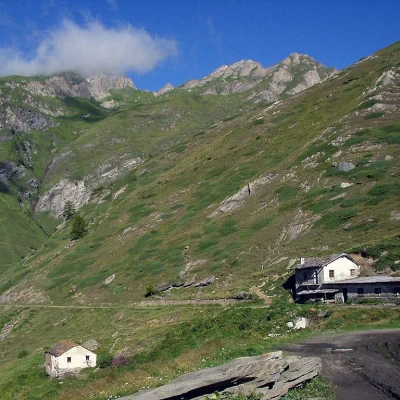
We pass the Alpe Berrio Blanc di Sotto (2128 m) and reach a fork where we turn right (the road to the left, coming from the Alpe di Chavannes di Fondo e di Mezzo, will be taken on the return trip).
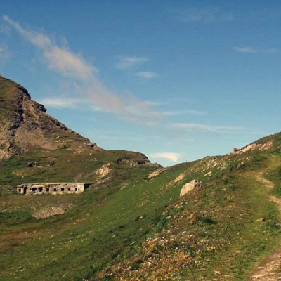
The road winds its way up two hairpin bends (which can be avoided by climbing the steep path at the base of the first) and leads to the Alpe di Chavannes di Sopra (2421 m).
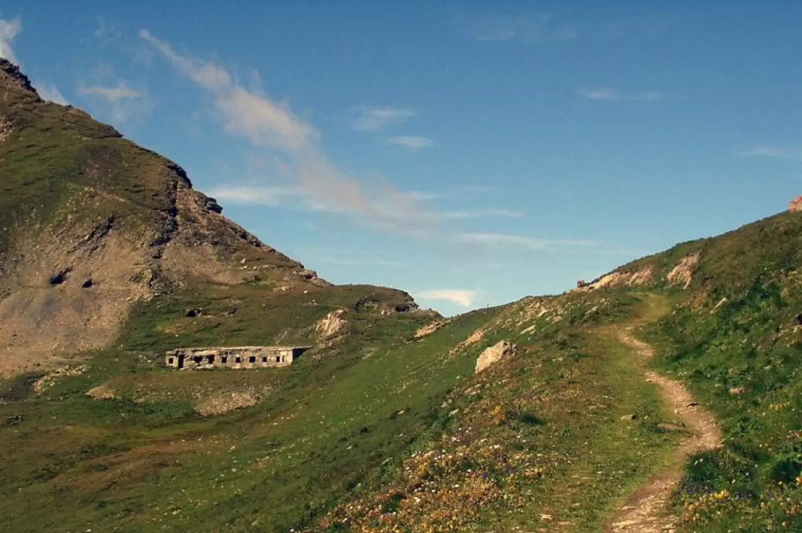
You cross the first of the two paths leading to the small lakes on the grassy plateau between Mont Percé and Mont Fortin, continue halfway up the hillside, cross the second path to the small lakes and arrive, almost level, at the Col des Chavannes (2603 m).
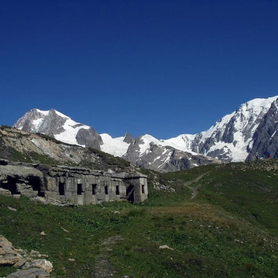
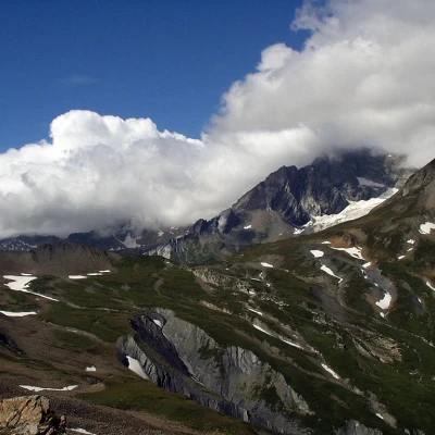
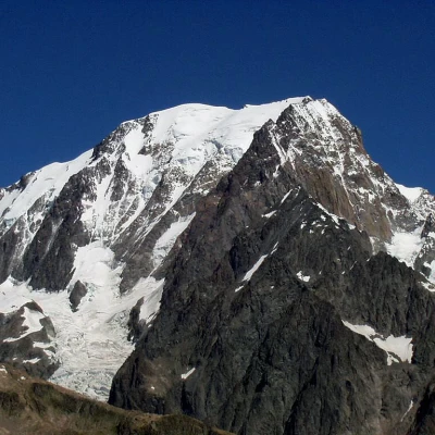
At the col, there is a breathtaking panorama of the Pyramides Calcaires, the Aiguille des Glaciers, the Aiguille de Trèlatête, Mont Blanc, the Aiguille Noire de Peutérey and gradually all the peaks to the north-east as far as visibility permits.
For the return trip, as a variant, it is recommended to descend the grassy path to the Alpe di Chavannes di Fond (2314 m) and then, on a dirt road, to the Alpe di Chavannes di Mezzo (2183 m). Finally, we rejoin the valley floor road travelled during the ascent.
