From the motorway barrier at Aosta-West, keep left and follow the signs for Aosta - Saint-Pierre. After one kilometre, at the roundabout, take the second exit to join the main road. Continue on the state road for 4.3 kilometres, passing the village of Saint-Pierre until you reach a new roundabout with the Gran Paradiso National Park sign. Take the first exit and continue on the state road for 4.2 km until reaching Arvier and its roundabout dedicated to cyclist Maurice Garin. Take the second exit and continue on Via Corrrado Gex until you reach the village of Leverogne, one kilometre further on, where, at the fork, keep left and take the regional road [SR25]. Go up the regional road for 9.3 kilometres until you come to a crossroads: turn right and follow the signs for Planaval. Continue for another 550 metres until you reach, on the right, the free car park 🅿️ of Planaval where you can leave your car.
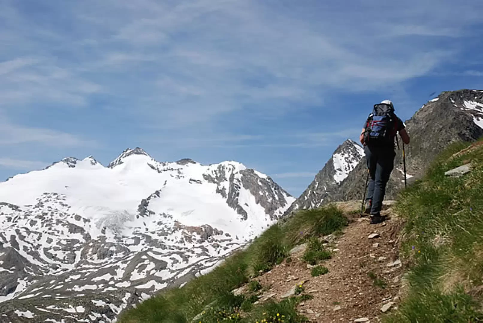
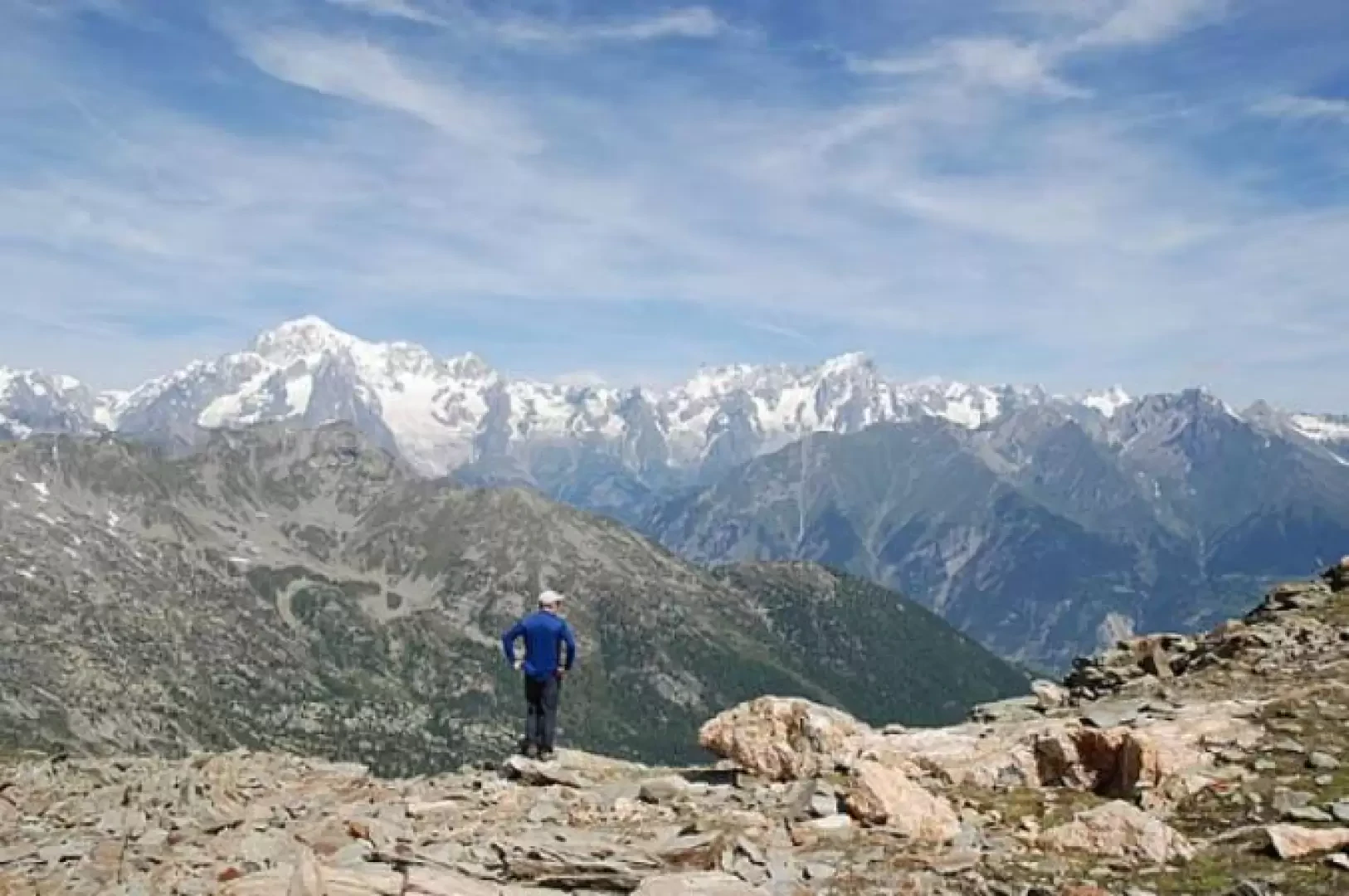
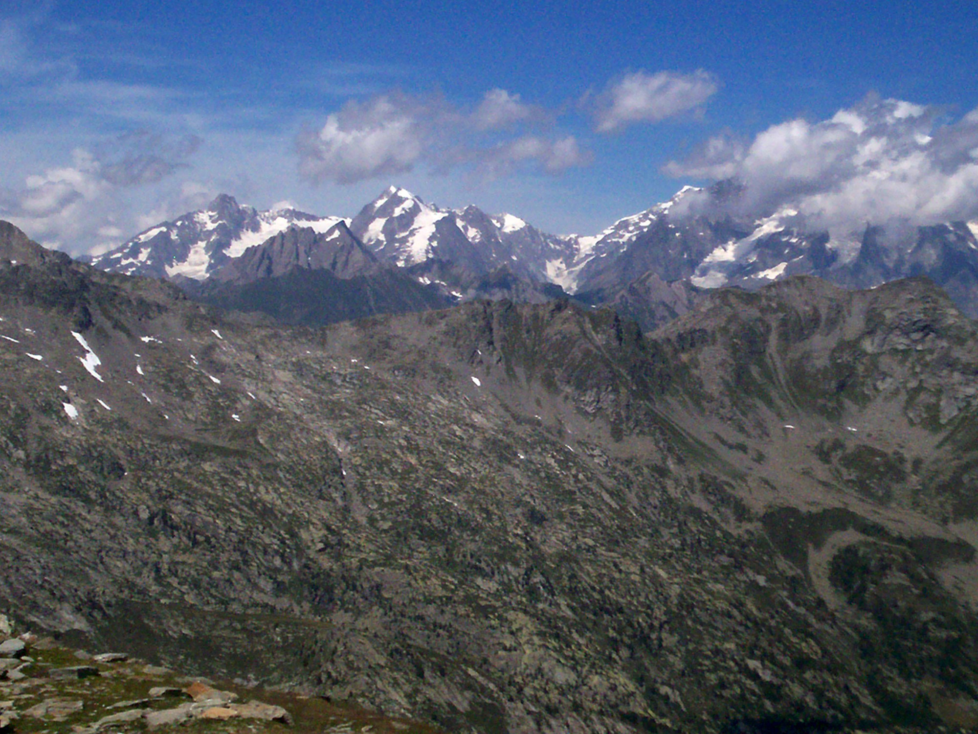
Interesting climb along the route of the Aosta Valley's Alta Via 2. The arrival at the pass allows you to enjoy a privileged panorama of the Mont Blanc chain.
Description
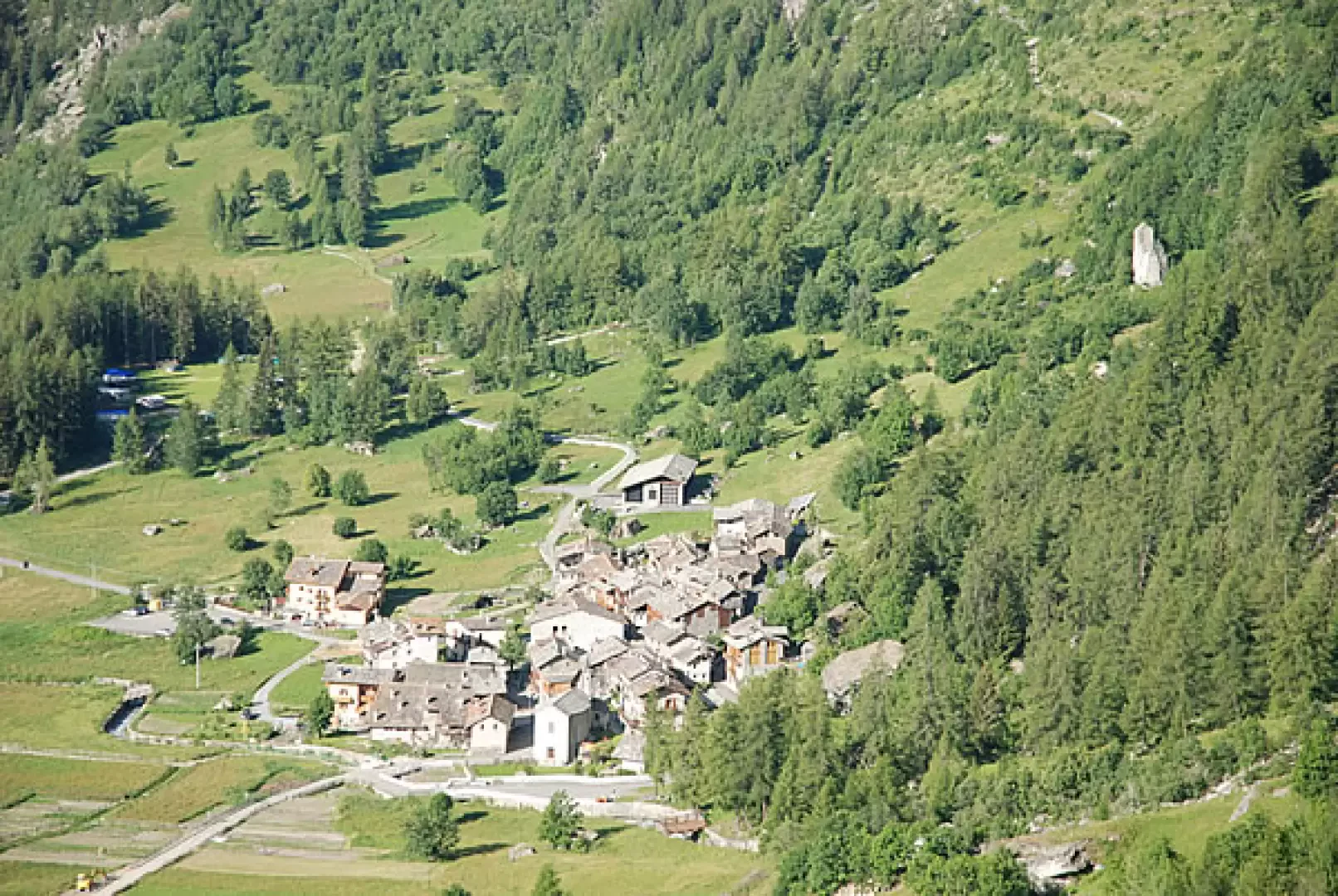
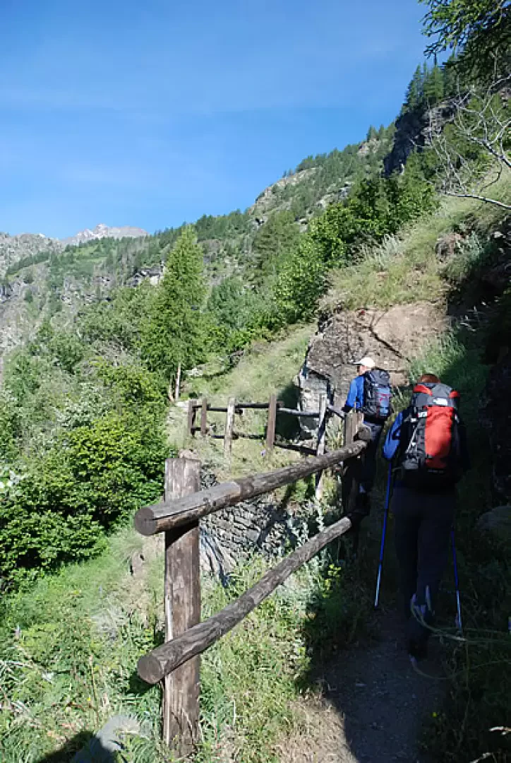
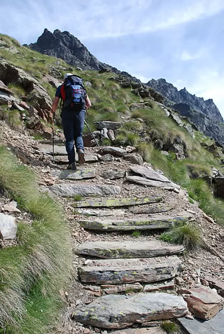
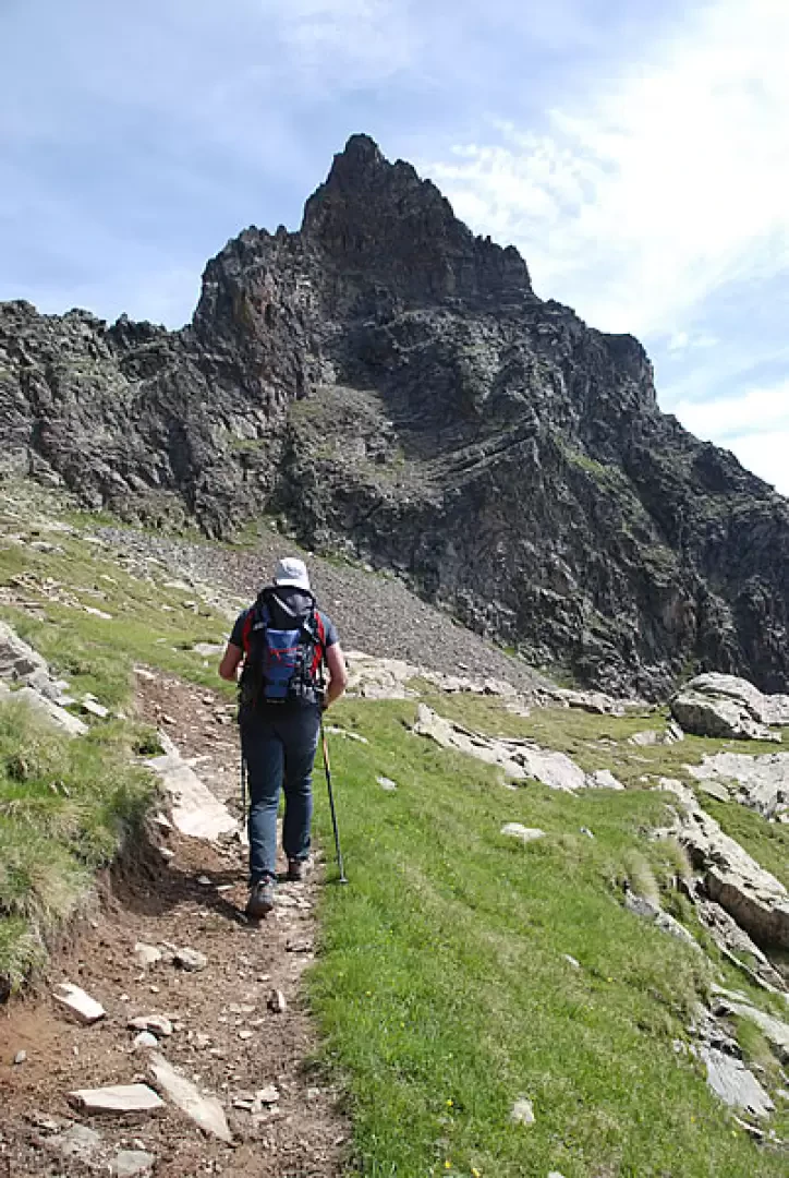
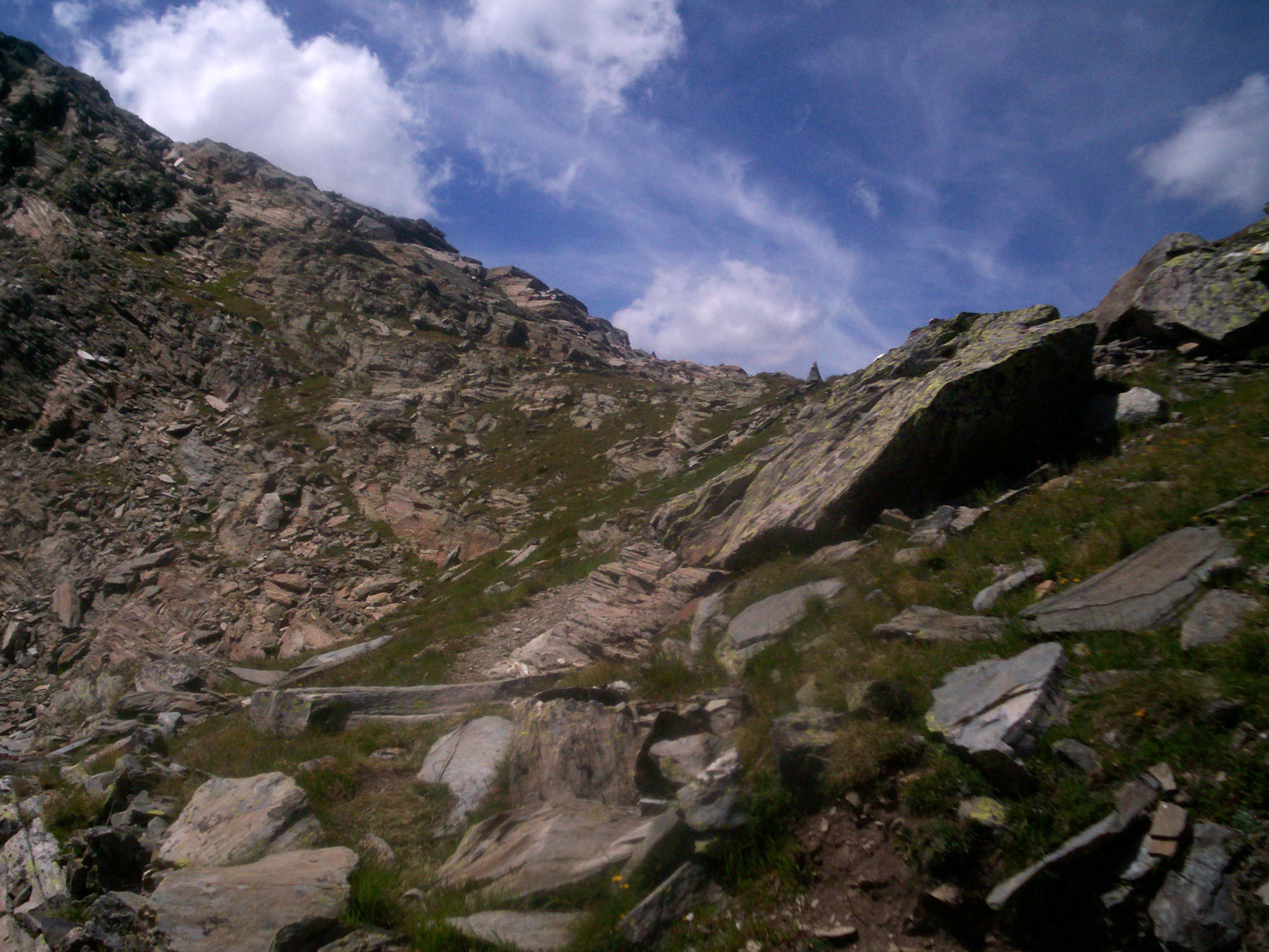
From La Clusaz, climb briefly up the little communal road to a hairpin bend to the right: shortly afterwards, on the left, the path for our destination starts. Following the indications of the signposts, we take a wide mule track marked as Alta Via . We ascend the ridge along the beautiful mule track, which rapidly gains altitude as the view opens up over the bottom of the Valgrisenche and the village of Planaval below. We leave behind the last broad-leaved trees, including a few wild cherry trees (Prunus avium), and enter a not very dense larch forest; the path crosses a few steep sections of slope on a ledge, with protective railings in places, and climbs halfway up the slope on a clear, partially stepped pavement surrounded by patches of Juniper (Juniperus communis L.).
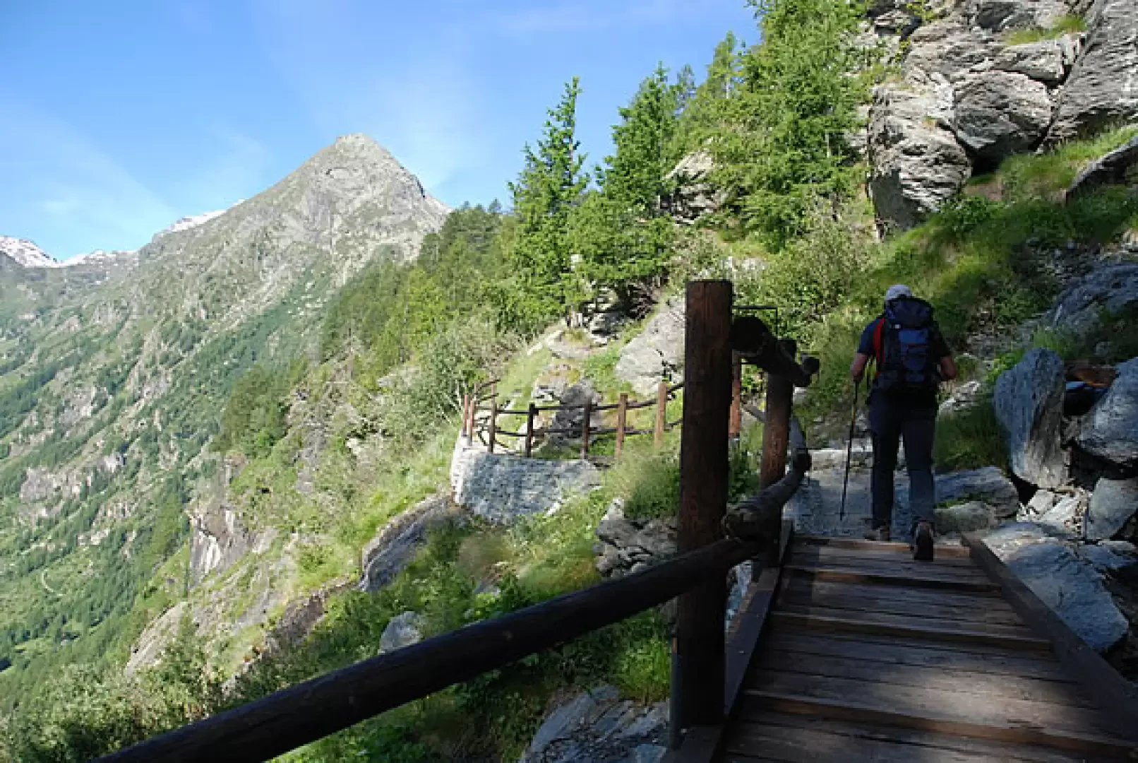
After about 0h10' you pass under a rocky rampart and after a few hairpin bends it becomes slightly flat: In this section, you cross a few streams on comfortable footbridges while the distinctive silhouette of Mont Orfeuille stands out in the background. This scenery is repeated a few times until, after about 0h35', you reach a section of sparser forest where you will come across the ruins of Bénévy (1950 m, 1h00') surrounded by vegetation.
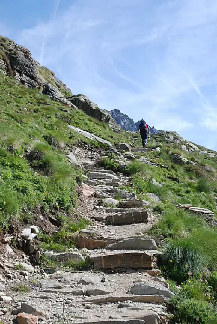
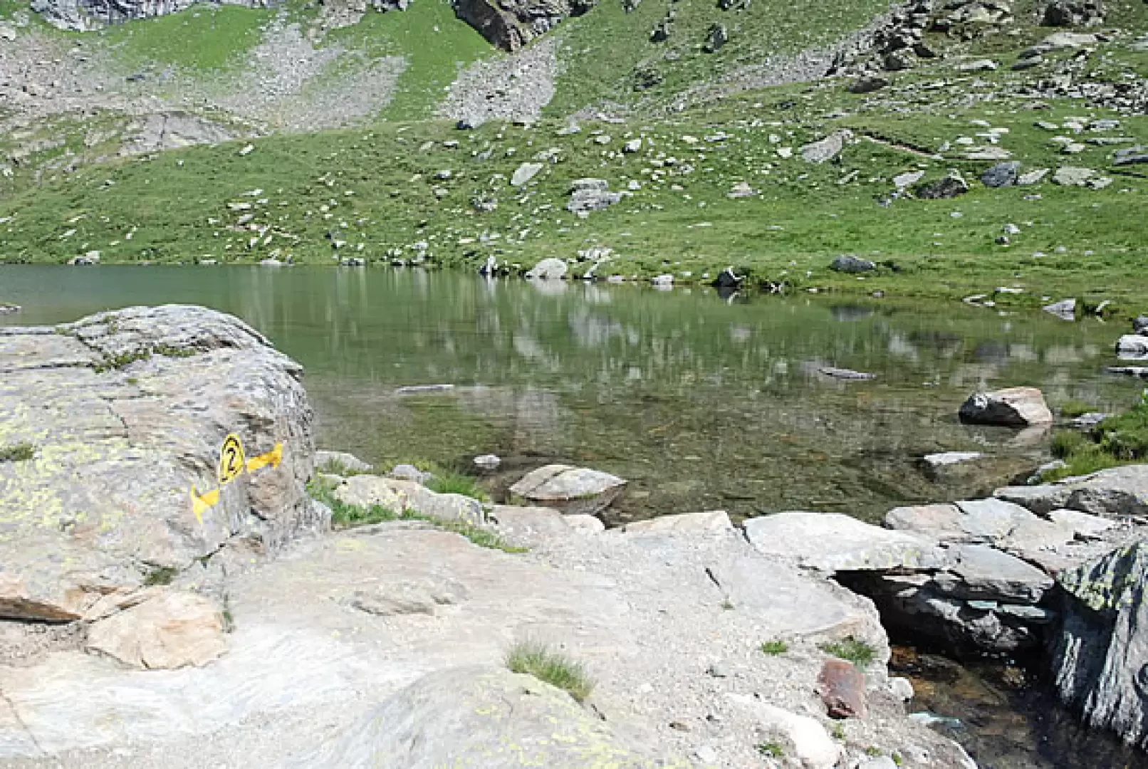
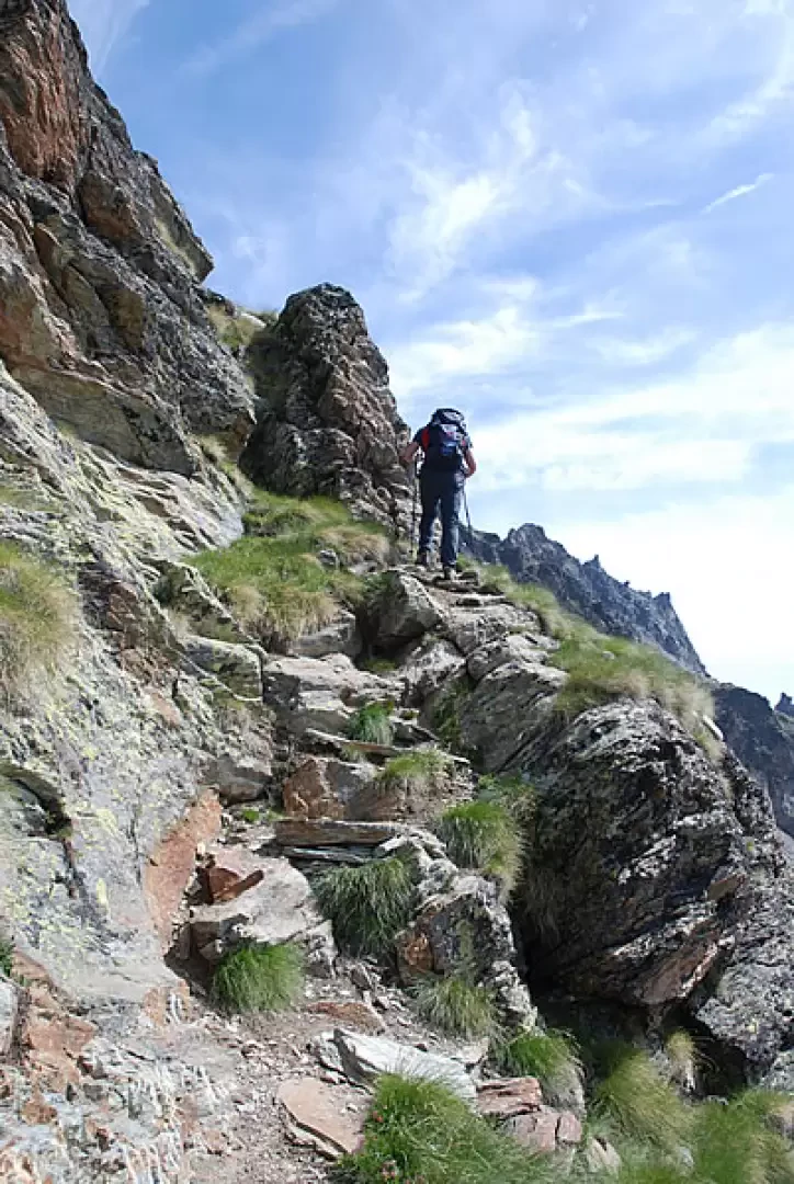
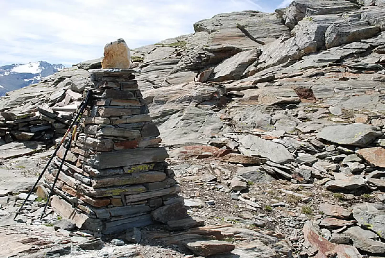
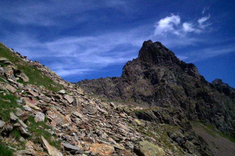
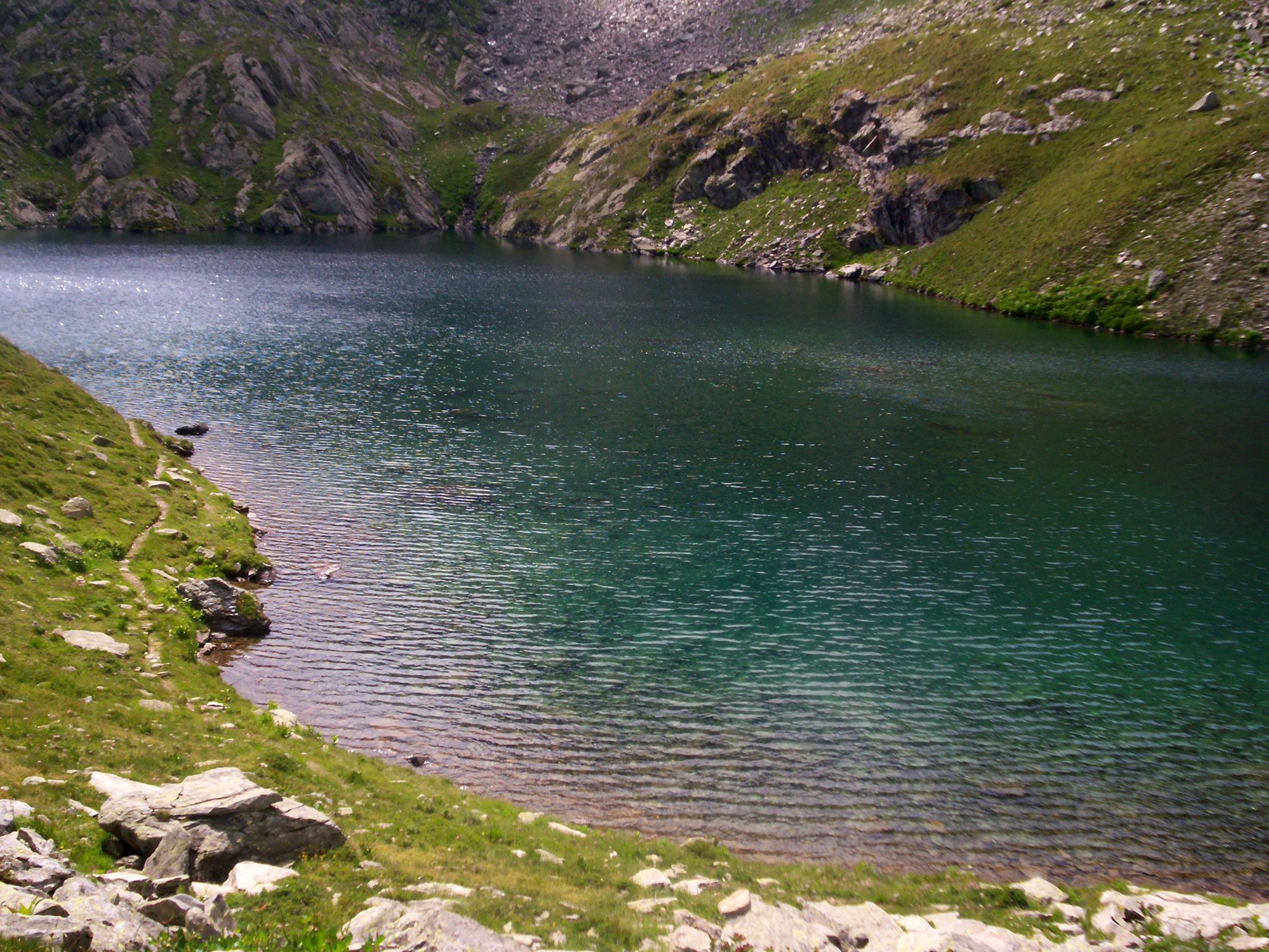
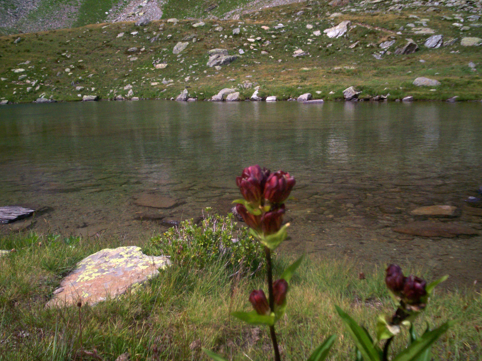
A little later, the prairie opens up, the remains of another old rural dwelling are left on the right, and the path approaches with a series of hairpin bends a rocky stretch, on our right, reaching a water intake after about 1h10'. Continue the ascent, leaving the lush Planaval stream and the last alder bushes, as well as a few scattered larch trees, to the left. After 1h20' you will reach Alpe Glacier (2161 m) and shortly afterwards you will come to the fork for Runaz (20B) (2174 m): follow the signpost for Col Planaval (21), which is 3 hours away. From the panel we cross a beautiful stretch of the valley without any particular gradients, where the torrent flows placidly: certainly a little-known corner of the Valle d'Aosta but extremely suggestive. We continue walking in the valley, after about 1h30' we cross a small wooden bridge, go around a large boulder and start climbing again on the easy path. Later the path crosses a marshy clearing where the stream meanders placidly between large boulders: a few steps away from us we observe a group of grazing mules. A little further on, after a tiny pond at the foot of a rocky promontory, the path bends to our left and Col Planaval appears in the background for the first time. Having circumvented the above-mentioned promontory, we continue on to the Baraques du Fond (2,337 m, 2h00') topped by a picturesque little waterfall. After a few minutes, we come to the fork for the Lac du Fond (21A): turn right and climb up the ridge, on the beautiful mule track. With a series of twists and turns, you finally reach Lac du Fond (2438 m, 2h15'). From the lake, take the eastern side and start climbing again until you come to a wide ledge. The path, which has been well prepared, then begins a long series of small hairpin bends that make you gain considerable height, while below, the lake becomes smaller and smaller and the Rutor emerges in all its splendour. Having passed a small, slightly exposed section, at an altitude of 2700m, you begin to skirt the rocky buttresses, following a diagonal to the right until reaching a long, almost flat traverse to the right. The ascent resumes as the notch of the pass is now in sight. Continue the ascent, leaving the majestic spire of the Tighet Tower (2976 m) to the right. Climb the last section, snowfields are present at the beginning of the season, until you reach Col de la Crosatie (2826 m, 3h15') and its characteristic little pyramid-shaped cairn. The descent follows the same route as the ascent (1h30').
Dal paese di Planaval si segue la strada asfaltata fino ad un cartello stradale con riportato l'indicazione per l'inizio del sentiero (indicavia 2 entro triangolo giallo, segnavia dell’alta via numero 2). Si inizia a salire, a pendenza moderata, fino a giungere in corrispondenza, dopo circa 40 minuti di cammino, ad una presa d’acqua.
Si guadagna ancora quota con una serie di risvolti quando il sentiero perde pendenza e si inizia ad attraversare un’area pianeggiante. Si guadagna ancora un po’ di quota fino a giungere in una seconda area pianeggiante, dove si transita in corispondenza di un’ometto di pietre con cartelli indicatori (colle di Planaval, Lac du Fond, col de la Crosatie), seguendo le indicazioni per le ultime due mete, in una ventina di minuti si giunge al lac du Fond, lo si costeggia sulla destra e si inizia a salire sul sentiero, che in circa 1 ora di cammino porta al colle della Crosatie (2826 metri)
Avvistamenti faunistici: Capra ibex
Galleria fotografica


Comments (0)
Sign in to leave a comment