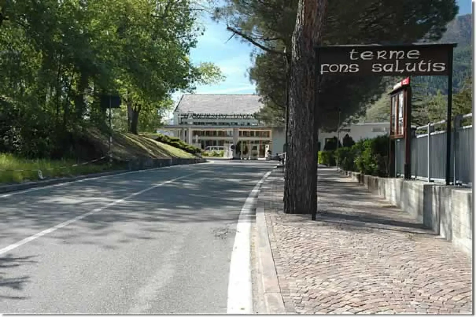
At the motorway exit of Châtillon, head towards Saint-Vincent. Once in the thermal town, you can leave your car in the various car parks available and then head towards Piazza XXVIII Aprile, recognisable as the starting point of the panoramic lift to the thermal baths.
In the past, on the route of this excursion, at the beginning of June, the best Sky-Runners in the area would meet up for one of the most classic "martse a pià".
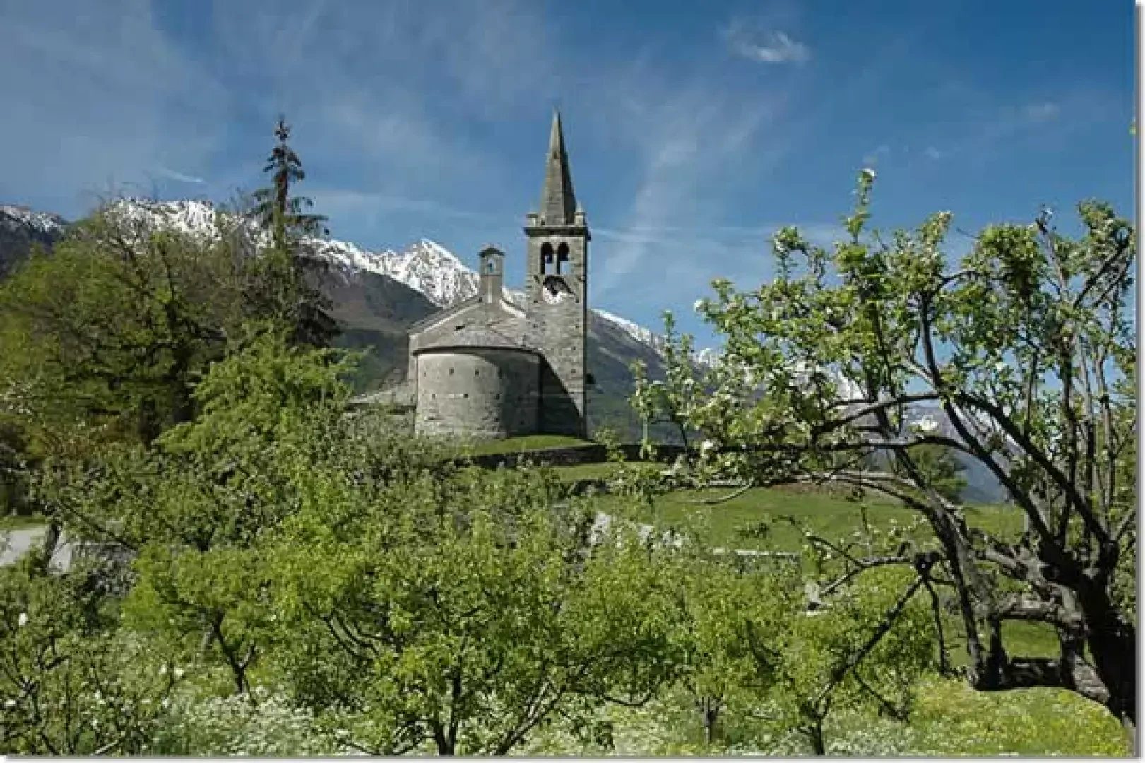
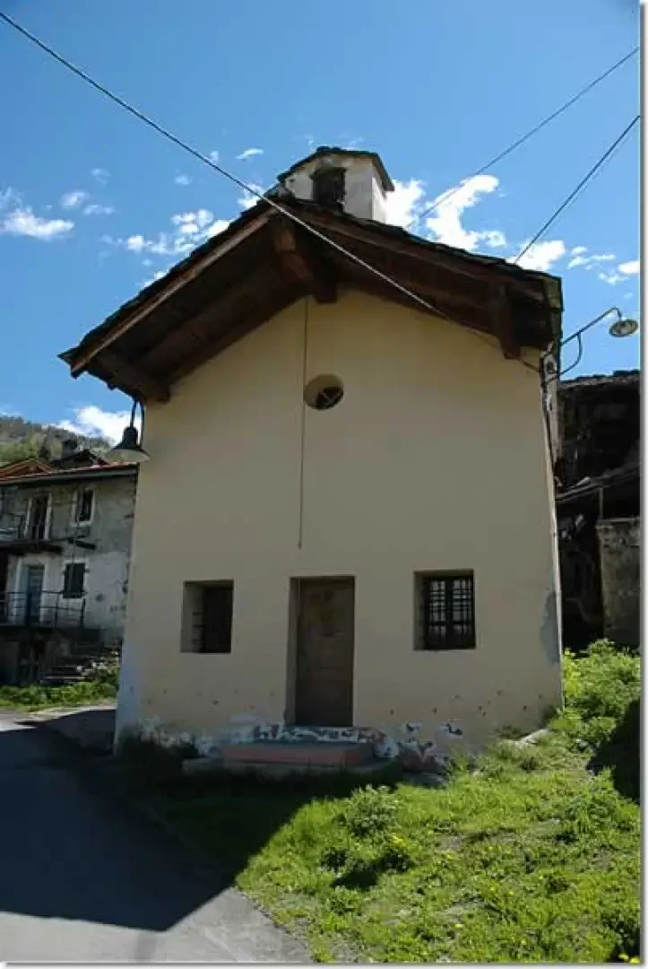
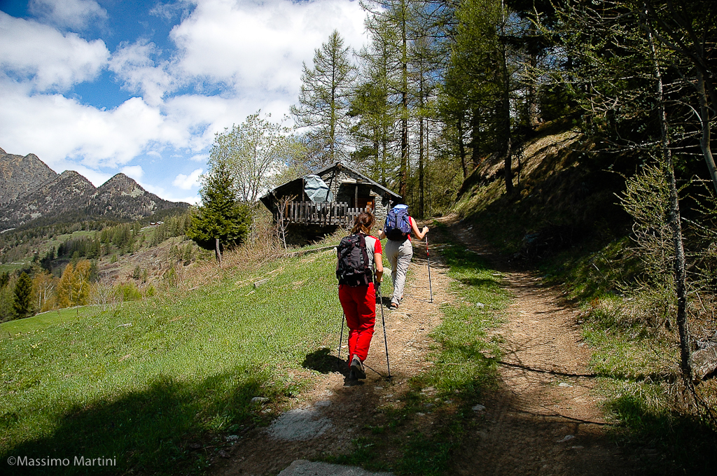
At Moron, a diversion to the church dedicated to Saint Maurice is a must: a small jewel that the village has been guarding for over 900 years.
Introduction
A classic for the 'sabins' and the many tourists who come to spend a holiday in the spa town every year. The length and difference in altitude make it challenging, but it is certainly an attractive hike.
Description
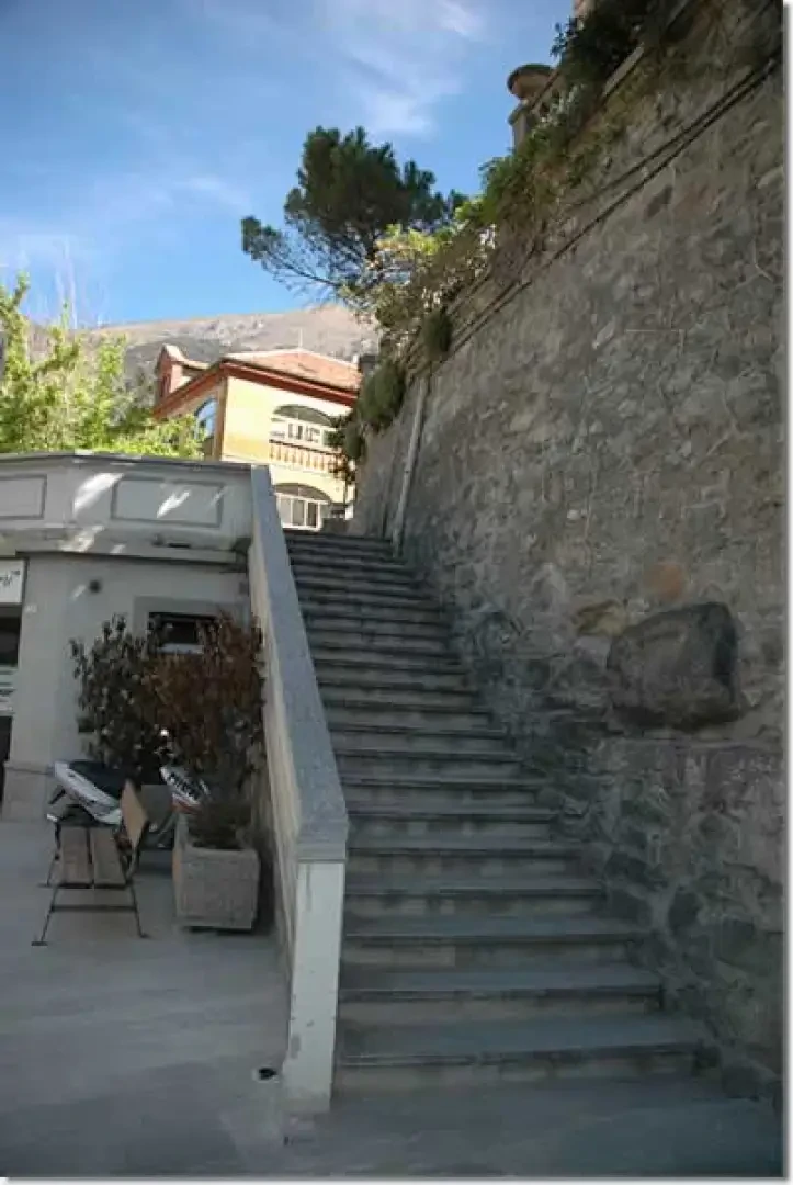
0h00' You start out from the Piazza XXVIII aprile, in the heart of Saint-Vincent, and you immediately have two options: either take the panoramic lift up to the thermal baths or take a stairway immediately to your left and walk up Rue Col de Joux, which soon leads to the thermal complex (626m).
0h05' Near the entrance to the thermal baths, the path
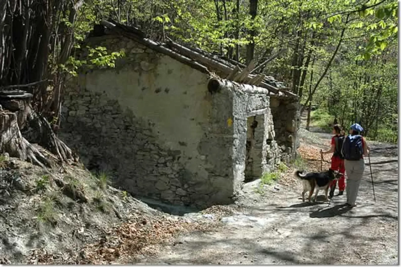
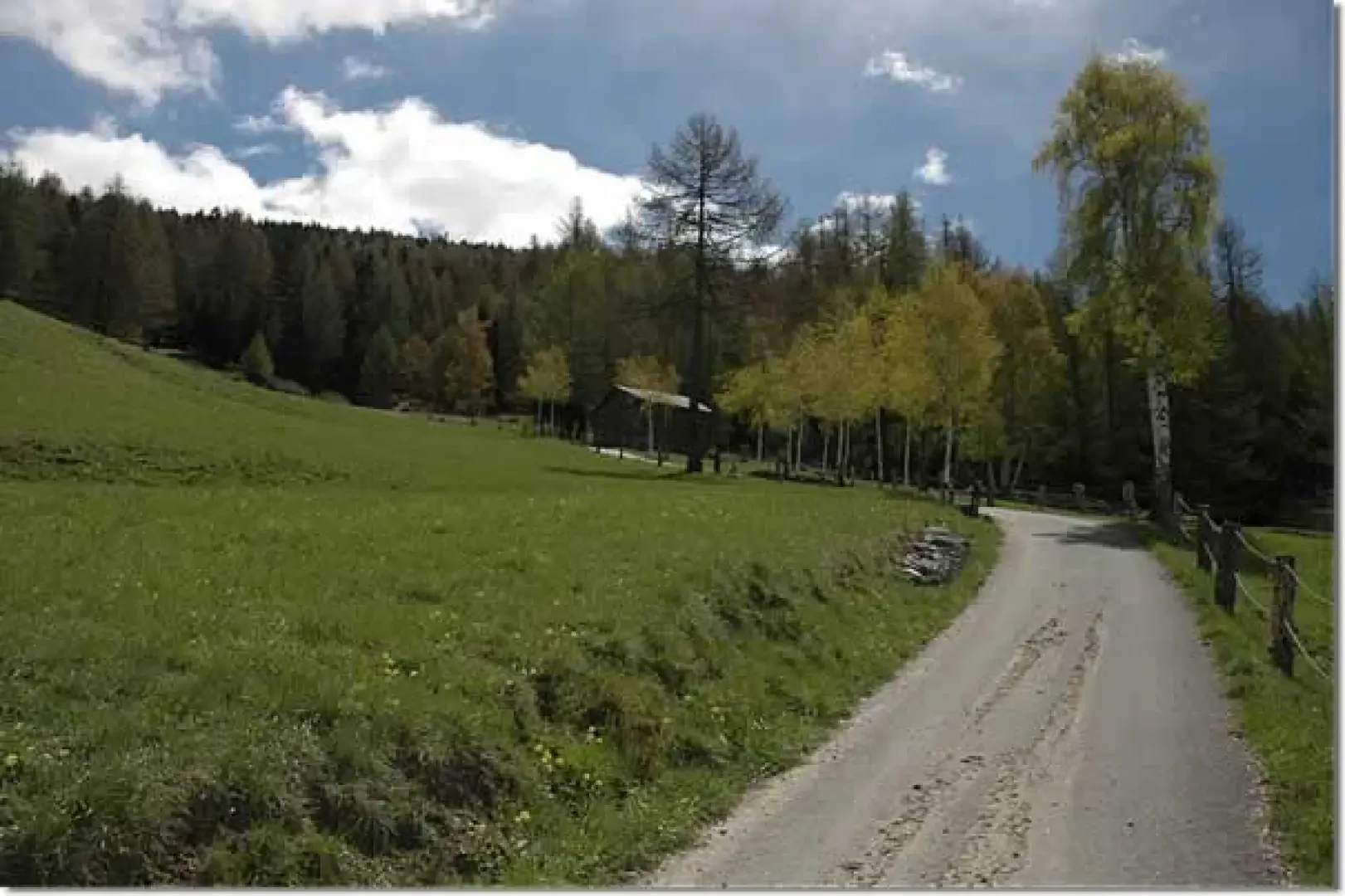
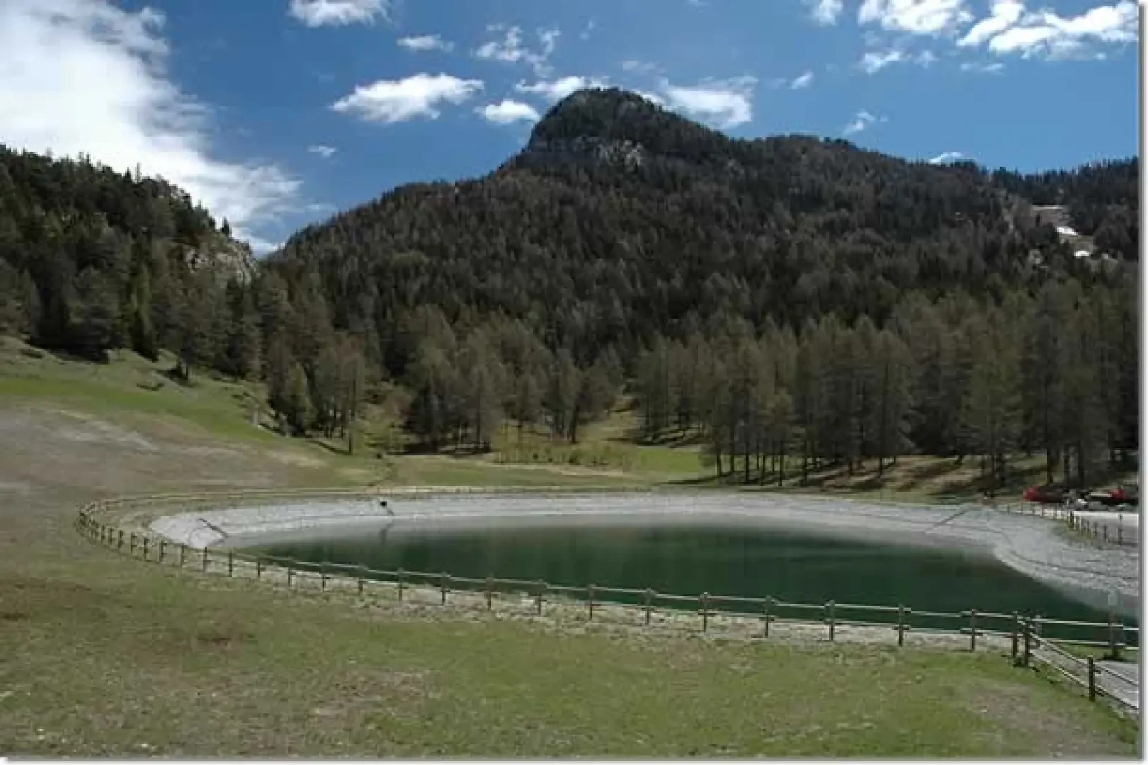
starts out, identified by a signpost. You climb up an initial section of path until you reach the regional road to Col de Joux again: turn right until you reach an aqueduct near Romillod; here you come to a small road that, after an initial downhill section, begins to climb up a dense chestnut and oak wood, which is very shady (excellent in summer!). At the end of the first part of the route, we reach Moron (836m, 0h30'), continue the ascent following the signposts and yellow arrows, crossing the village until we reach the primary school: here, we turn right and climb up an agricultural track that enters the forest again. The first stretch is flat, passing the ruins of a mill (on the left), until you come to a stream: here the track turns right and begins to climb up the wood. The ascent becomes steeper, and after meeting the path to Lenty (you have to cross a small wooden bridge), you proceed keeping to the orographic right of a stream; you come to another ruin in the chestnut forest, and shortly afterwards the route crosses some pastures, crosses the asphalted road that leads to Lenty and soon reaches Salirod (1090m, 1h30'). We cross the village passing near the pretty chapel dedicated to Saint Bartholomew; at the end of the village, we ascend splendid pastures in the presence of the imposing Mont Zerbion, which accompanies us along this stretch. We cross the SR33 a couple of times and finally reach the village of Grand Rhun (1405m, 2h15'). We now climb the last section of the trail; we cross pastures bordered by coniferous forest until we cross SR33 for the last time, and then continue along a small asphalt road bordered by birch trees that reaches several small mountain pastures. From here, the track becomes unpaved and enters the forest until it reaches the starting point of the Col de Joux ski lifts (1600m, 2h45'). From the square, near the small lake that supplies water for artificial snow, turn left until you reach the hamlet of Palud (1616m, 2h50'): here turn right and you will soon reach a farm track, turn left and soon reach Col de Joux (1640m, 3h00'). The descent follows the same route as the outward journey (1h30').
General information
Way:from Saint-Vincent on the western slope Signposts:


Comments (0)
Sign in to leave a comment