Col Collet, from Lignan


Edited by:
Massimo Martini
Updated at: 16/02/2026
Access
Leave the motorway at the Nus toll booth, proceed along the junction and after 220m at the roundabout, take the first exit and proceed in a north-easterly direction until you come to the Strada Statale : take this to the left and follow it for 850m until you come to a traffic light signposted Saint-Barthélemy. Turn right onto Via Champagne and shortly ahead turn right again onto Via Aosta until you reach the village of Nus. In front of the pharmacy, turn left to take the Regional Road of Saint-Barthélemy. Drive up the regional road past the village of Nus, and through the villages of Petit-Fénis and Blavy, and after 15.,9 kilometres you will reach the pretty village of Lignan. In the village, there are two large car parks 🅿️ free of charge: one in front of the small church closest to the starting point of the trails and a second, in case the first is fully used, at the beginning of the village.
[0h26'] - [17.8km]
How to get there with GMaps
How to get there with Apple Maps
These directions are based on direct verification carried out at the time of the route survey, so the information should be checked before embarking on the hike. We recommend using a GPS navigator or map app on your smartphone to get up-to-date and detailed directions.
Introduction
The Col Collet is a little-known pass that connects the Vallon de Saint-Barthélemy with the Comba Dèche.
The Col Collet is a little-known pass that connects the Vallon de Saint-Barthélemy with the Comba Dèche.Description
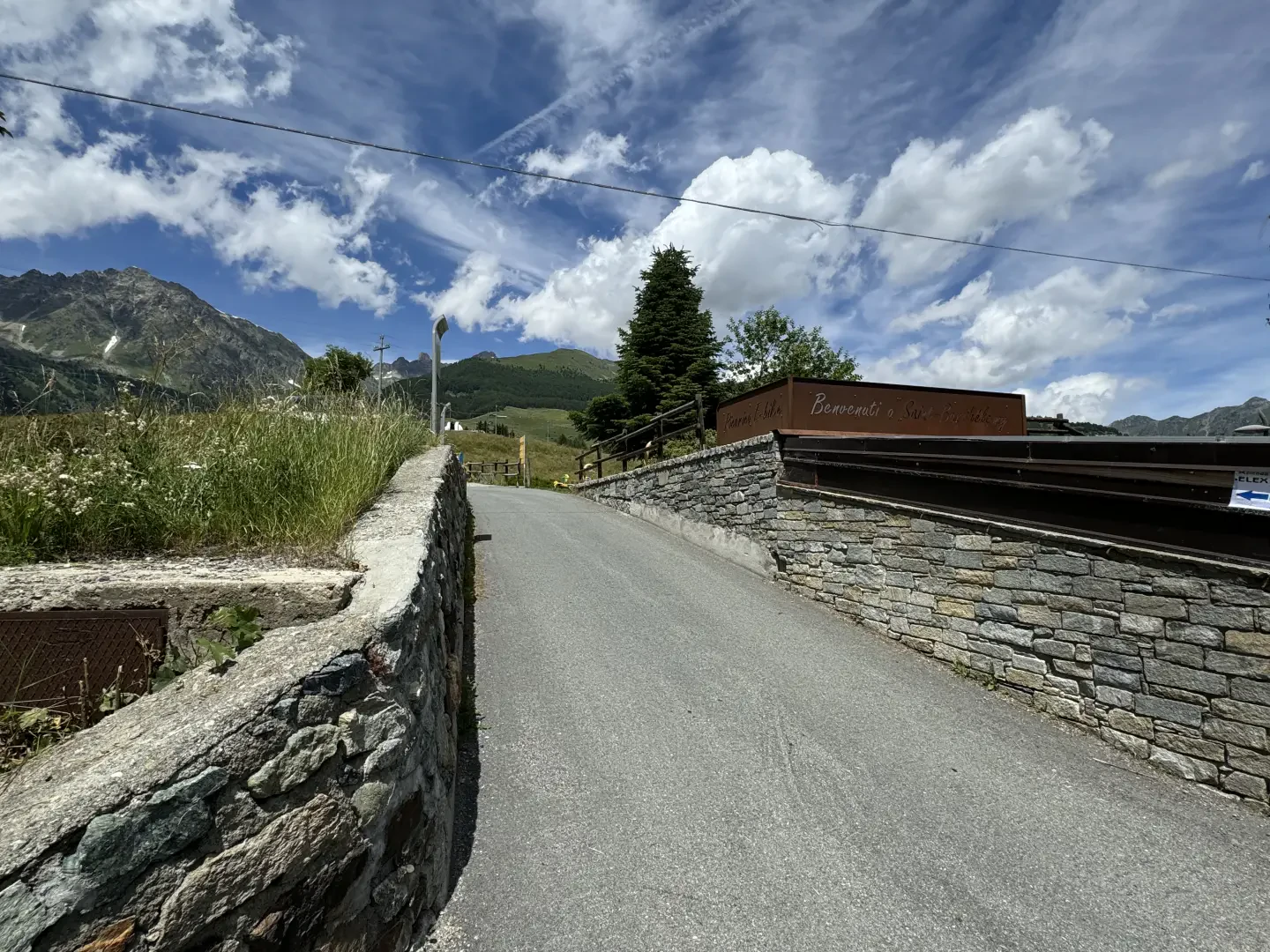
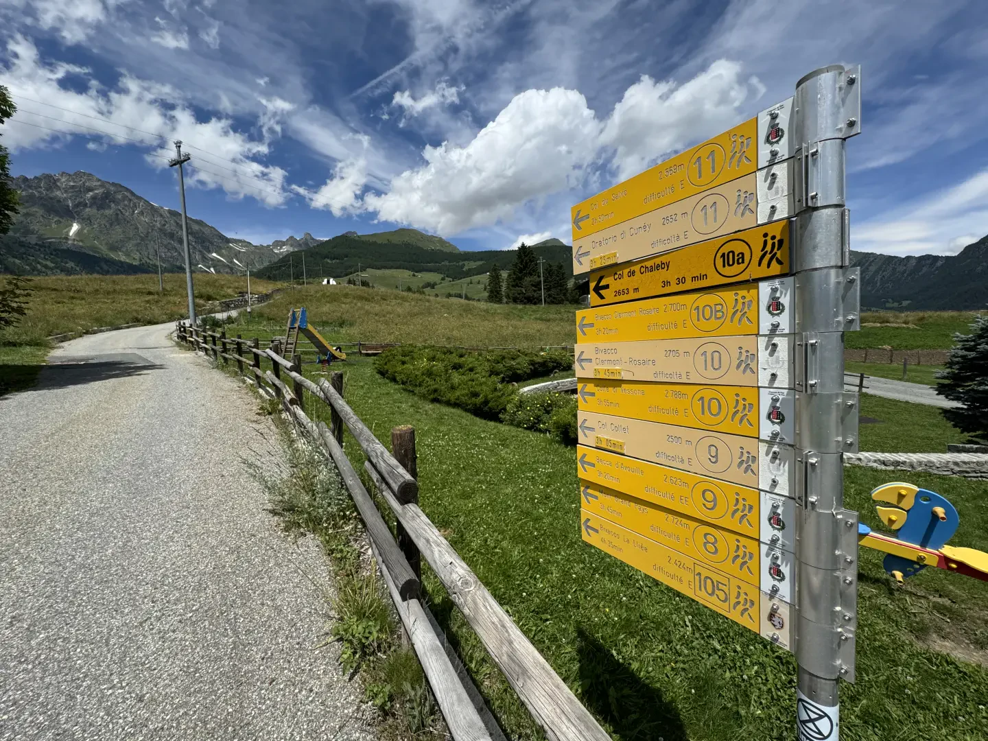
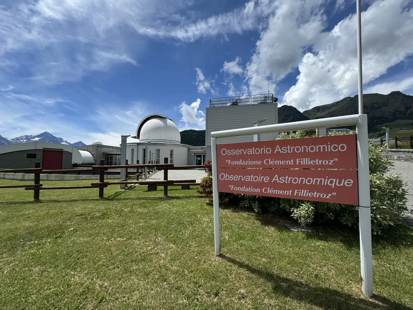
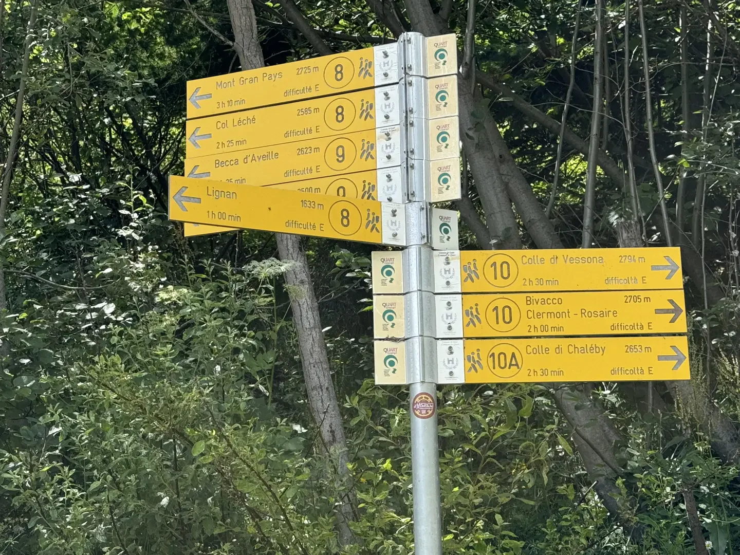
0h00' 0.00km Take the tarmac road that leads to the Aosta Valley Astronomical Observatory and after a few metres a signpost shows the main itineraries starting from Lignan. This stretch of road is called the 'Path of the Planets' because a series of explanatory panels on the planets placed at distances proportional to the actual distance from the sun accompany visitors to the observatory on their way to the facility. When you reach the entrance to the observatory, you will come across a second signpost.
0h07' 0.30km
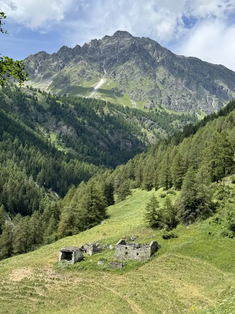
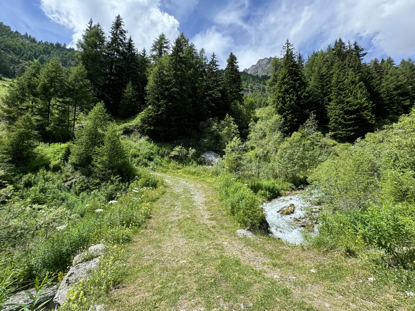
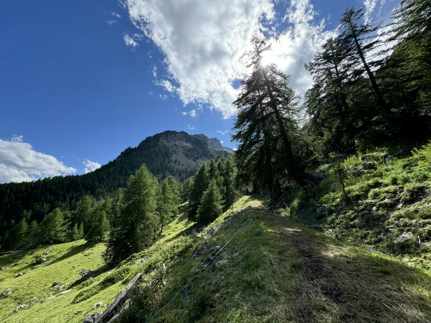
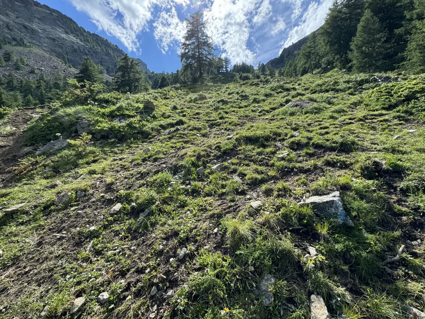
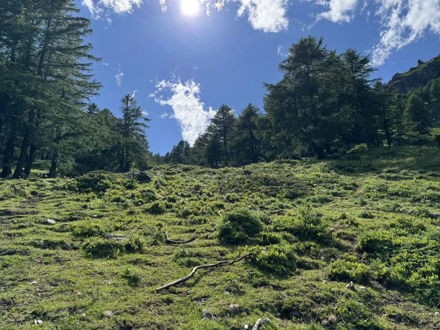
Turn left and follow the signs for Col Collet, given a 3h00' walk. Walk along a flat, grassy farm track that a little further on leaves a hamlet on the right and then veers to the right. Before the hiker, the Becca d'Aveille, the Grand Pays and the imposing southern face of Mont Faroma stand out on the horizon. The little road continues slightly uphill past the ruins of Méant and Pléoles before reaching the spillway where the waters of the Ru de Saint-Barthélemy are captured. A little further on, cross the Chaleby stream (on a ford bridge) and turn left, taking the orographic left of the valley. Continue along the road in a southerly direction through an initial strip of larch woodland until reaching a fork in the road.
0h50' 3.17km
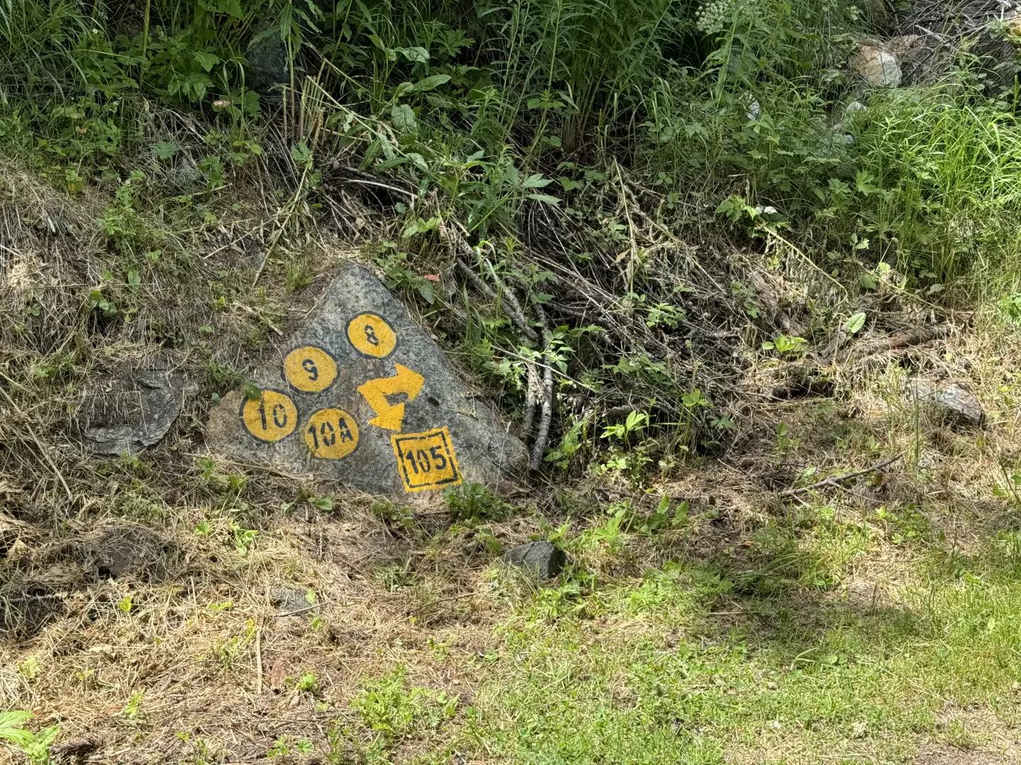
Turn right, ignoring the track to the left that leads to Brevaz, and continue for a short distance until meeting another fork in the road with a marker.
1h10' 3.48km Turn left following the track on a moderate incline; cross a stream by means of a concrete ford and, shortly afterwards, you will reach the junction of the path to Col Léché.
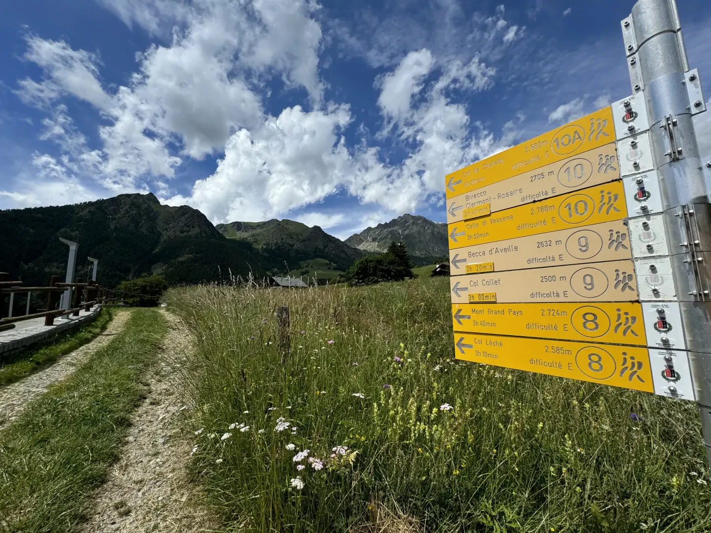
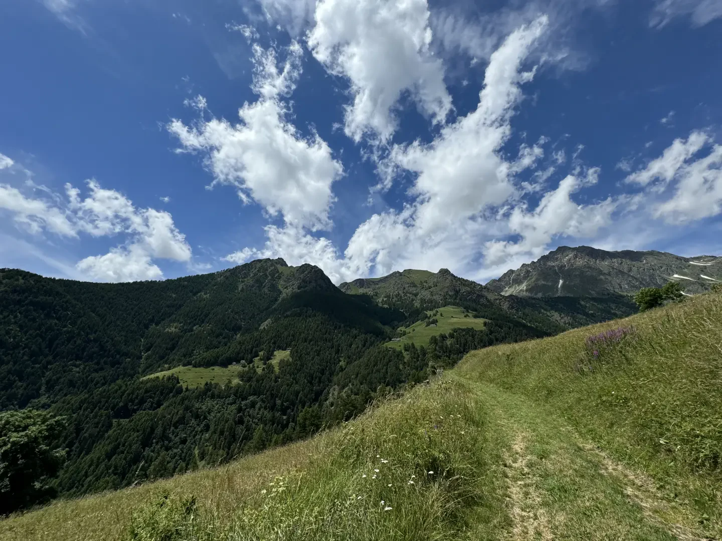
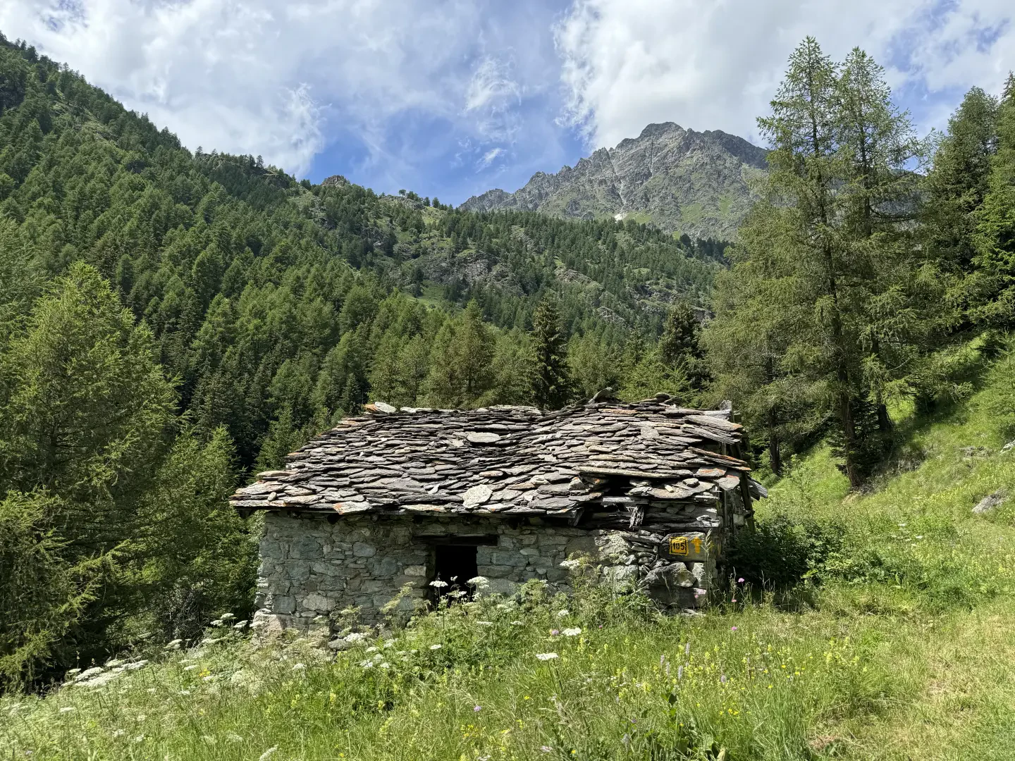
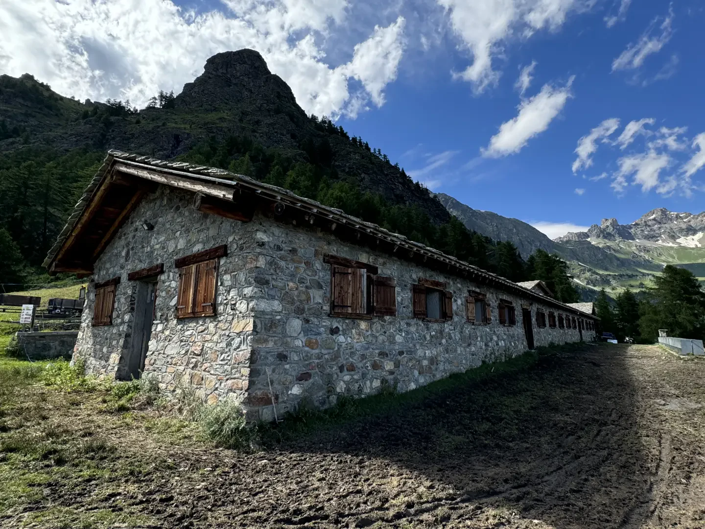
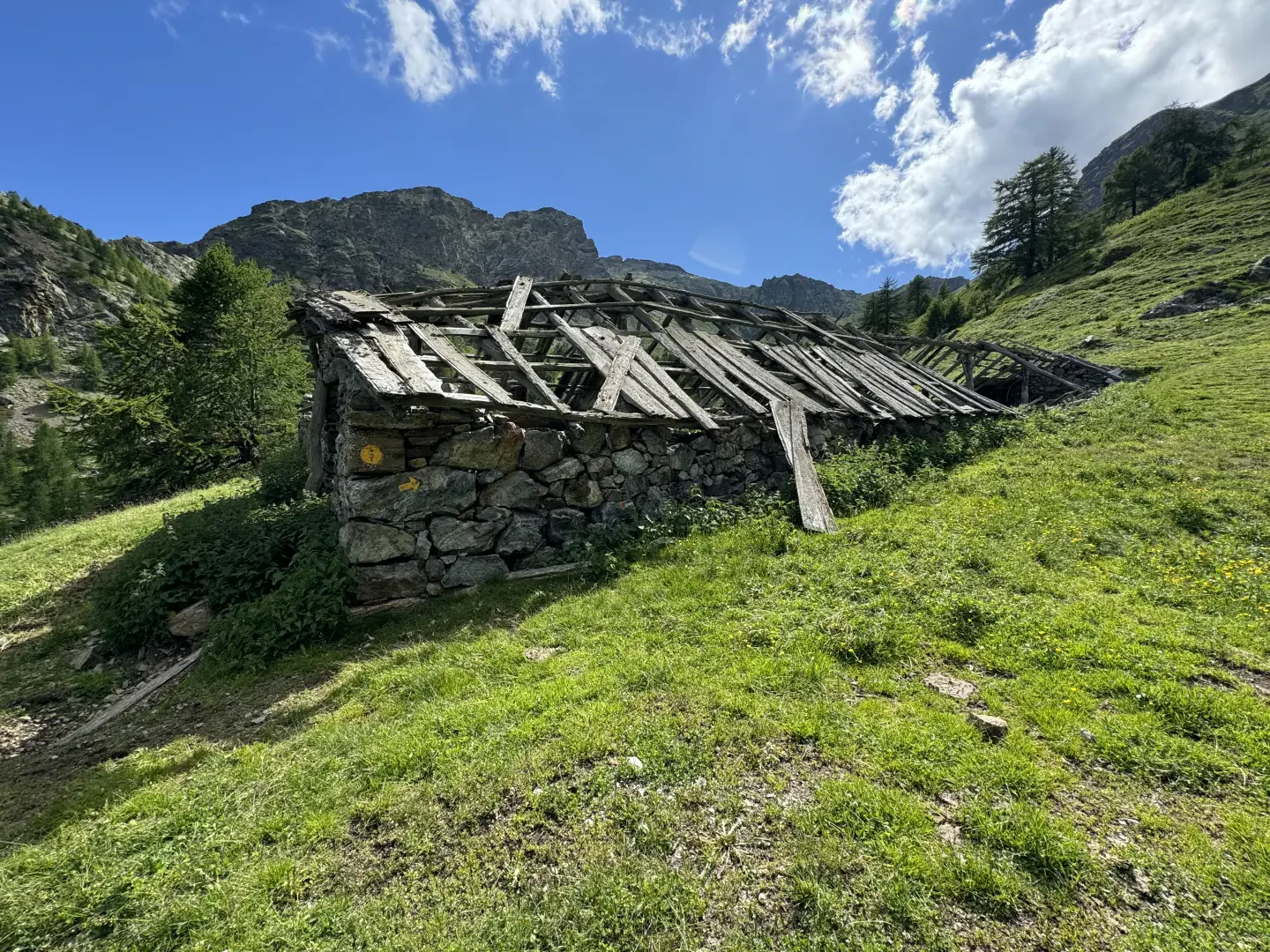
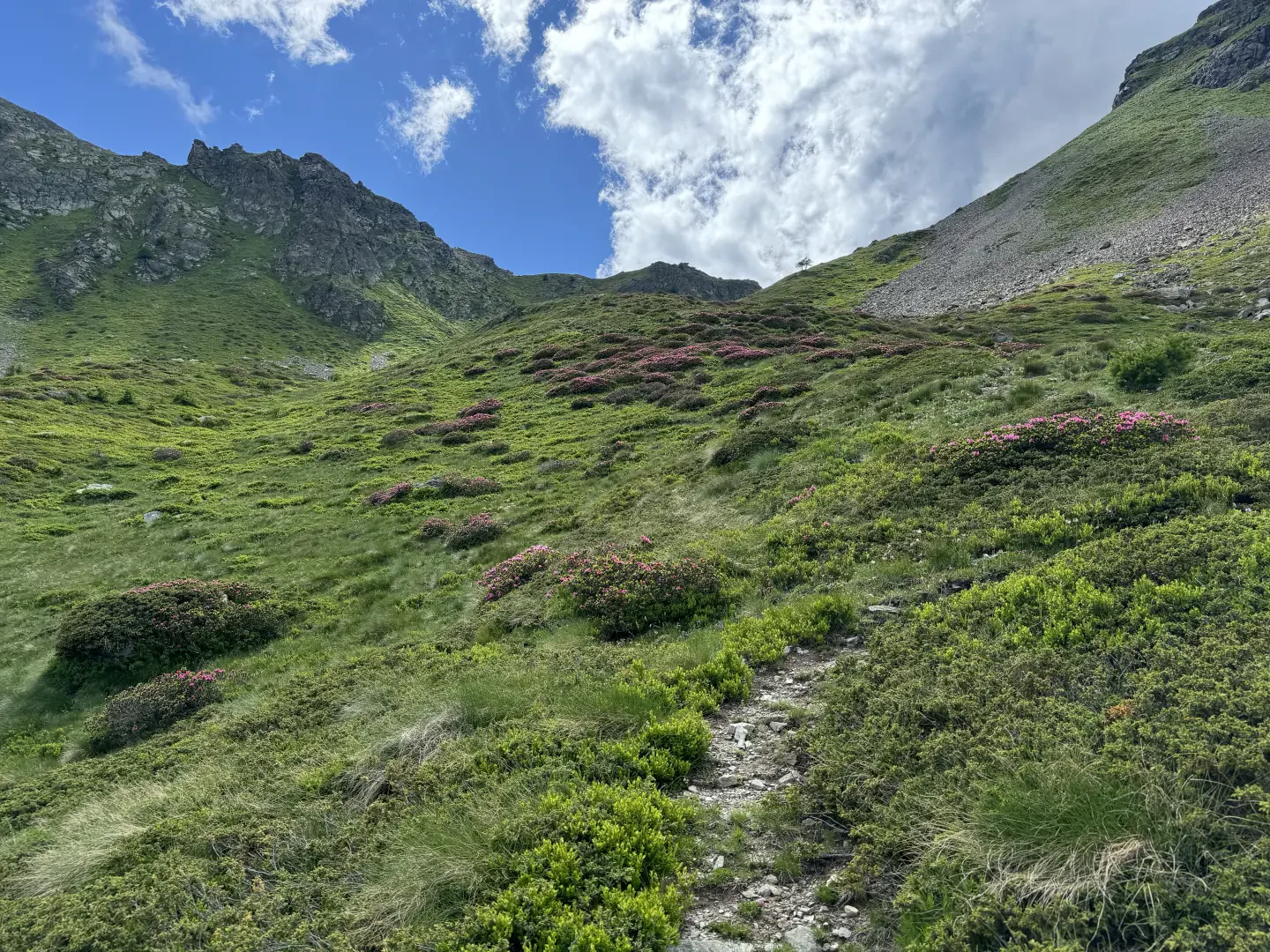
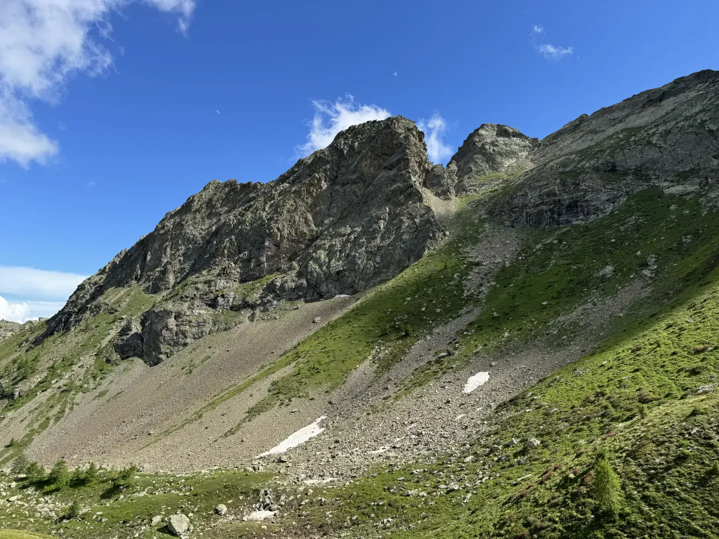
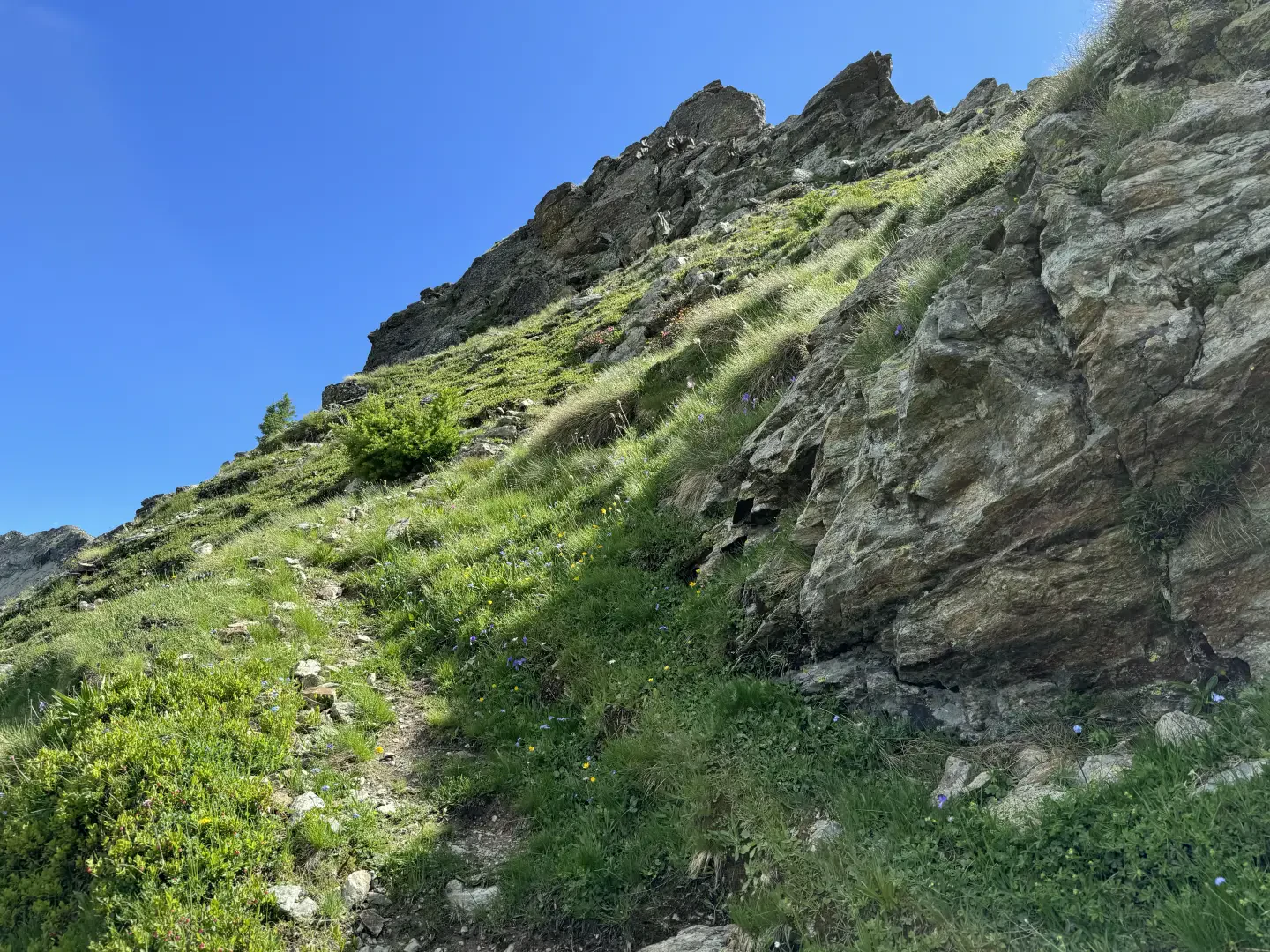
1h30' 3.95km Continue straight on along the road that, without too much gradient, leads to the Fontin mountain pasture (2002m). Go around the alpine pasture and continue along the grassy track that enters the larch forest and comes out of it shortly afterwards. Turn right onto a track that is sometimes made barely visible by the trampling of cattle. Climb up the slope between pasture grasses and patches of rhododendron before reaching the sparse forest again and, a little further on, turn right to reach the ruins of the Collet alpine pasture (2248m). Continue on the now more evident path that leads into the beautiful comb formed between the peaks of the Becca d'Aveille and the Grand Pays. The path heads towards the bottom of the gully and then climbs, with a series of twists and turns, the slope before Col Collet (2508m) 3h00' 6.48km .
The return is along the same route as the outward journey 1h50' 6.48km .
Points of interest
- Lignan
- Aosta Valley Astronomical Observatory
- Fontin
- Collet
- Col Collet
Photo gallery
Comments (0)
Sign in to leave a comment