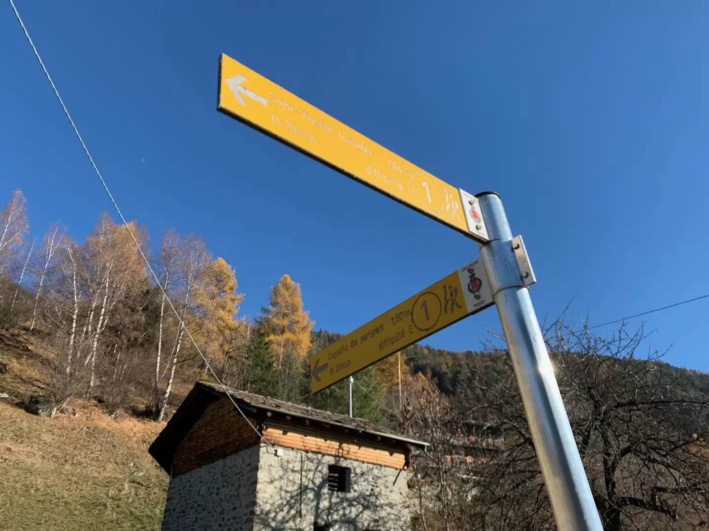
Chapel of the Partisans, from Saint-Vincent


Edited by:
Massimo Martini
Updated at: 04/05/2025
Access
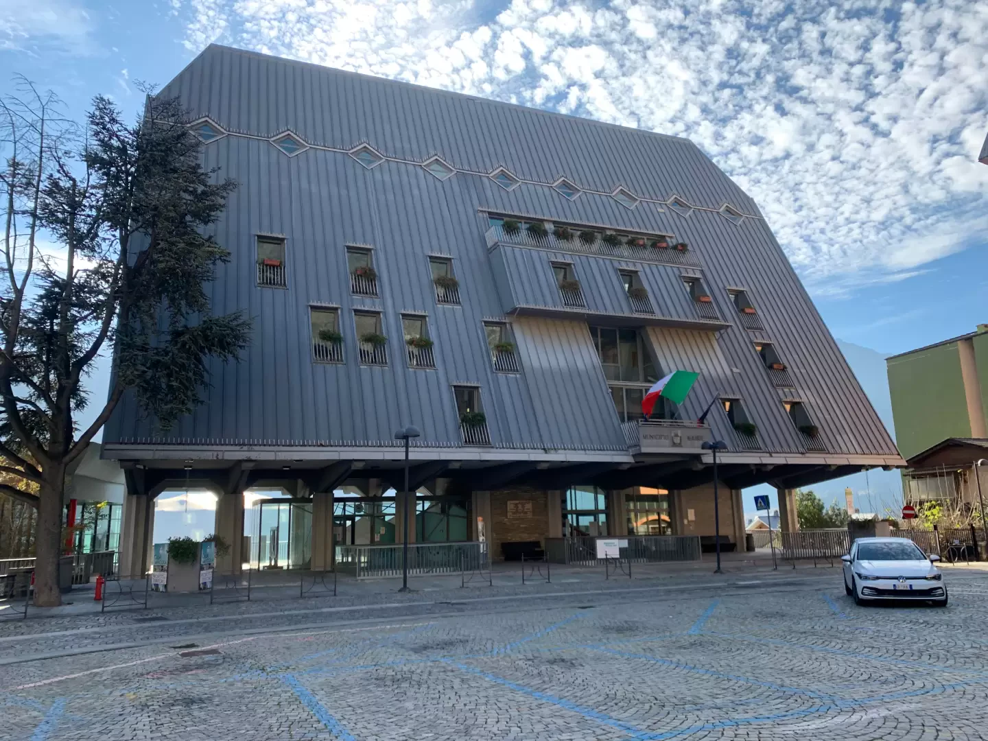
Leaving the [A5] motorway at the Châtillon-Saint-Vincent tollgate, turn right and head towards Saint-Vincent. Once in the spa town, you can leave your car in the various car parks available and then head towards Piazza Aosta (town hall square), the starting point of the itinerary.
Introduction
Description
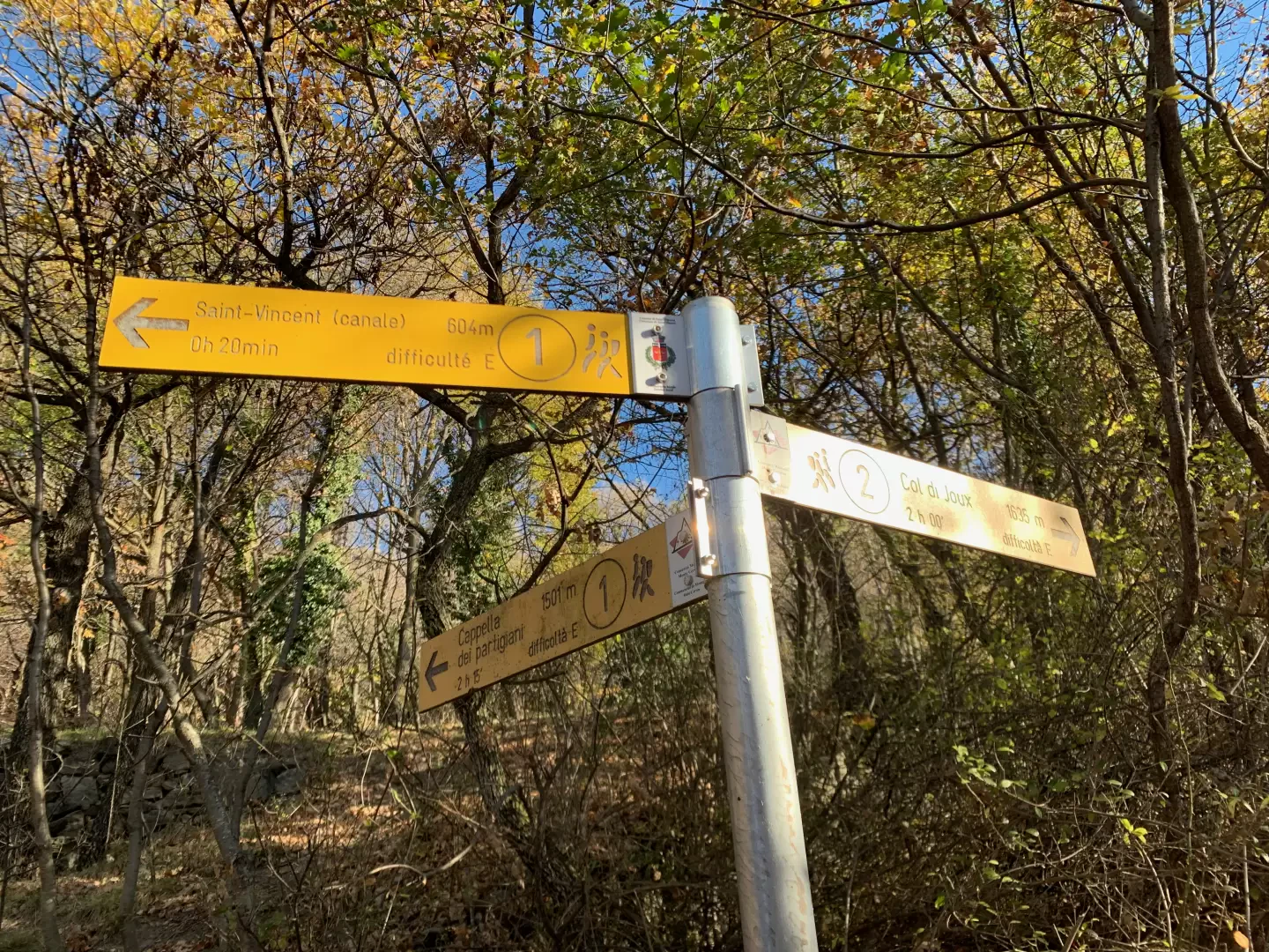
0h00' The route begins in Piazza Aosta, in front of the characteristic Saint-Vincent Town Hall building you will find a flight of steps leading up Via S. Cretier, a small pedestrian alley that quickly leads to Via E. Chanoux. Cross the main street of the spa town procecing onto Via J.B. Perret, which soon leads to Via Roma; cross the latter and, to the left of a fountain ⛲, take the narrow Via de Clos ⛲ that climbs up through the blocks of flats to reach Viale IV Novembre. Cut across the bend in the avenue onto a lane and, having crossed the road at a pedestrian traffic light, go up a path through the village of Ecrivin to reach Via Monte Bianco. Turn right, then immediately left to go up Via G. Charrière at the end of which the path marked by a signpost begins, leading to Capella dei Partigiani 2h45min.
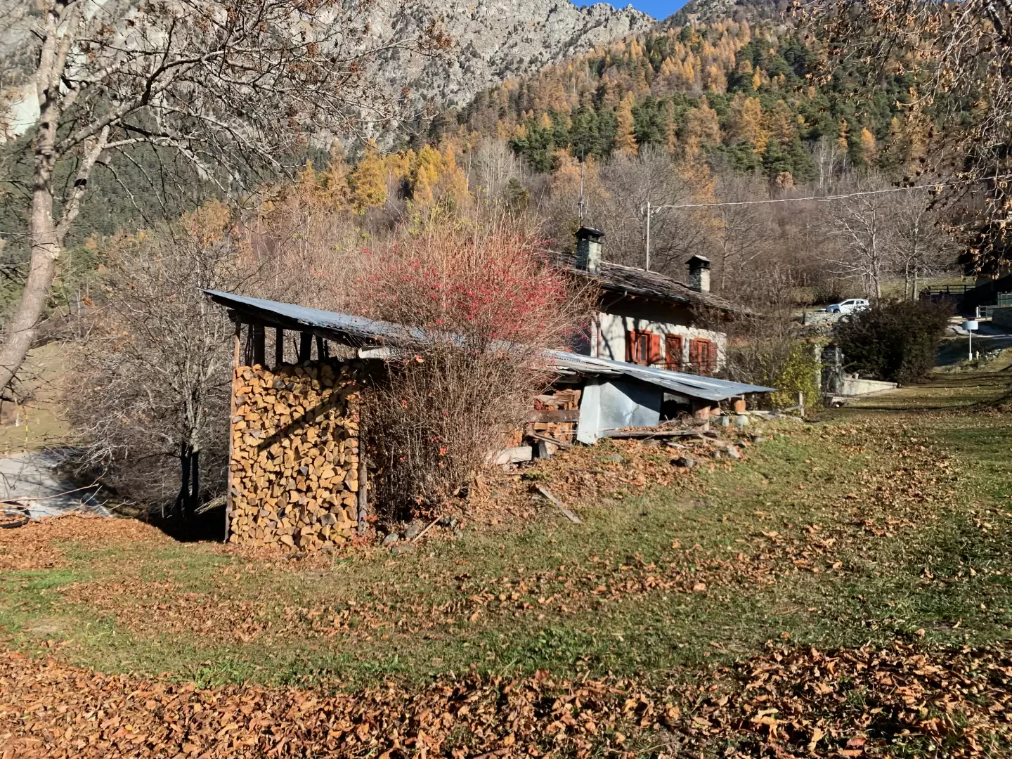
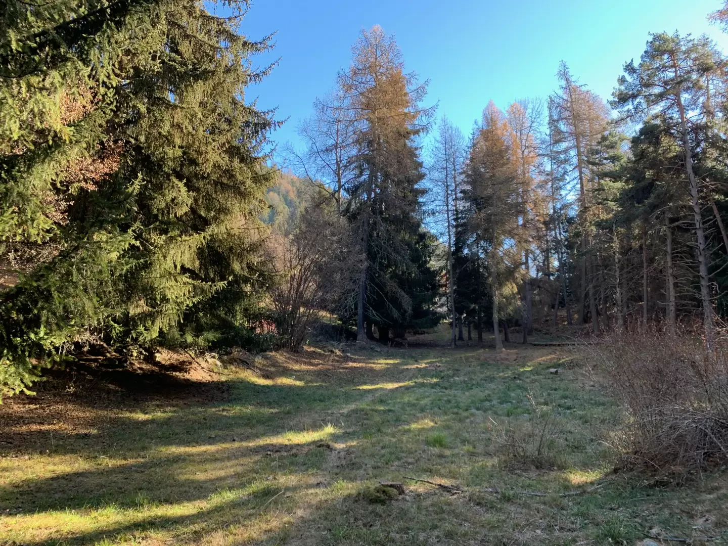
0h10' Take the path that climbs up the steep slope, leaving the last houses of Saint-Vincent behind, and after about one hundred metres turn right, comforted by a signpost, continuing along the mule track that quickly allows you to gain height while opening up interesting panoramic views of the town below. Pass the junction for the thermal baths and complete the first part of the ascent to reach the village of Clapeon (704m), where there is a fountain ⛲. Go through the hamlets until you come to a new marker post with signs for Maison Neuve, ignore this fork as well and continue straight on until you come to a small tarmac road.
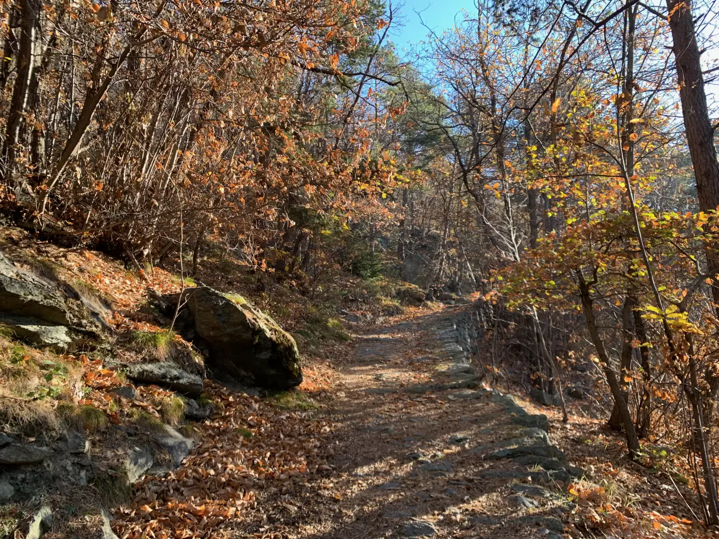
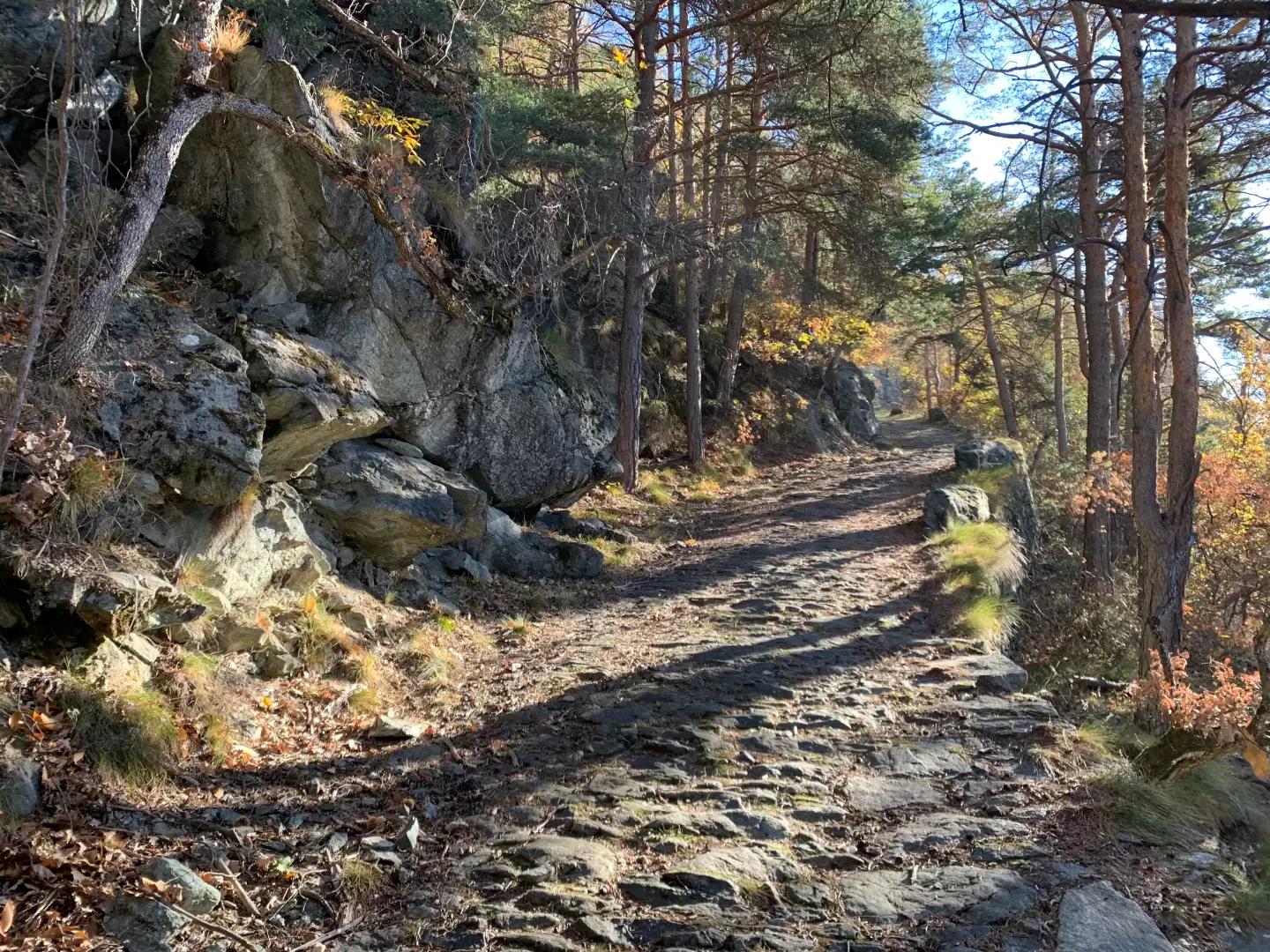
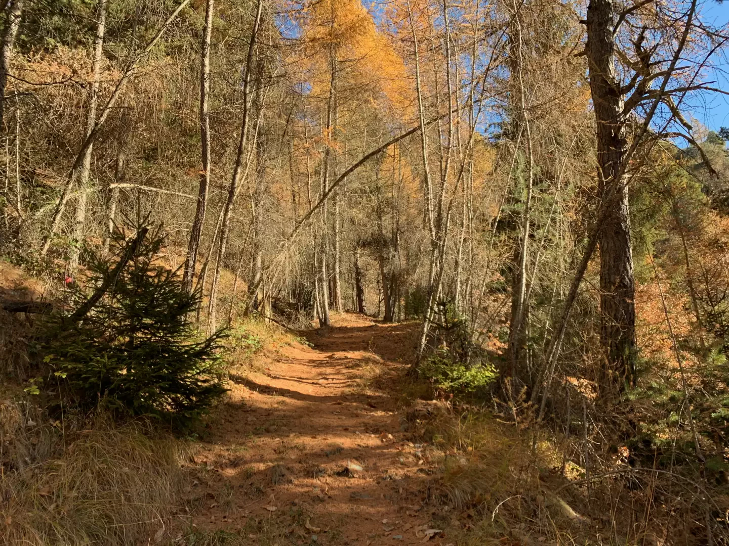
0h20' Cross the small road and continue on a first section of path that, at a marker post, joins a spectacular mule track called the "Polish Road" because it was built by Polish prisoners during the First World War. After a couple of hairpin bends, cross the Ru Péon and continue through the beautiful oak forest (Quercus pubescens) until you come to the characteristic and unexpected oratory of Giancan, built in the middle of the forest. Continue along the mule track in one of its most picturesque sections until you come to a new marker indicating the junction between trail and trail to Col de Joux.
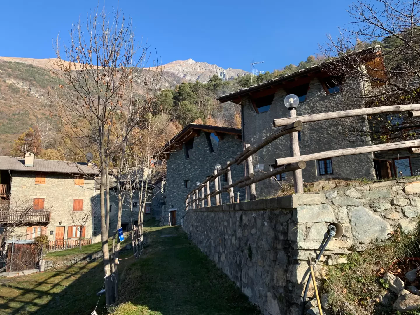
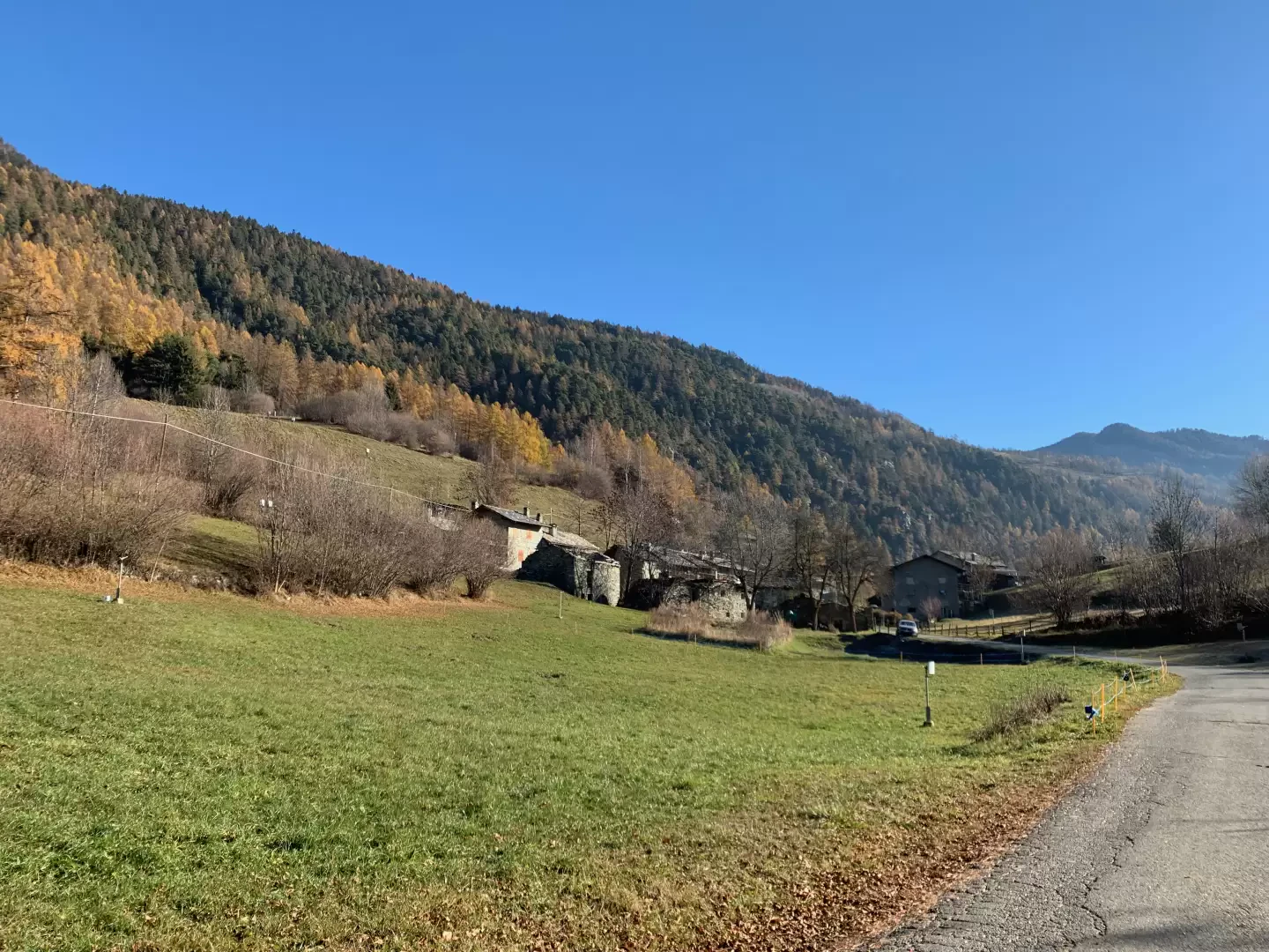
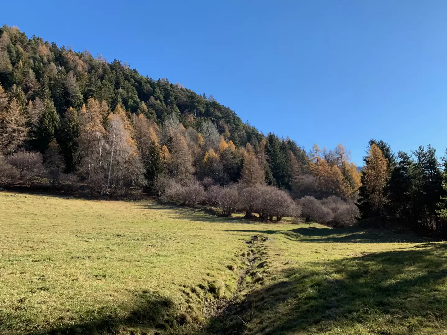
0h50' Turn left and continue uphill without too steep a gradient until you come to a pair of rapid hairpin bends that cross a rocky drop and lead to the pastures that anticipate the village of Dizeille (959m, ⛲), which you will reach from there in a few minutes.
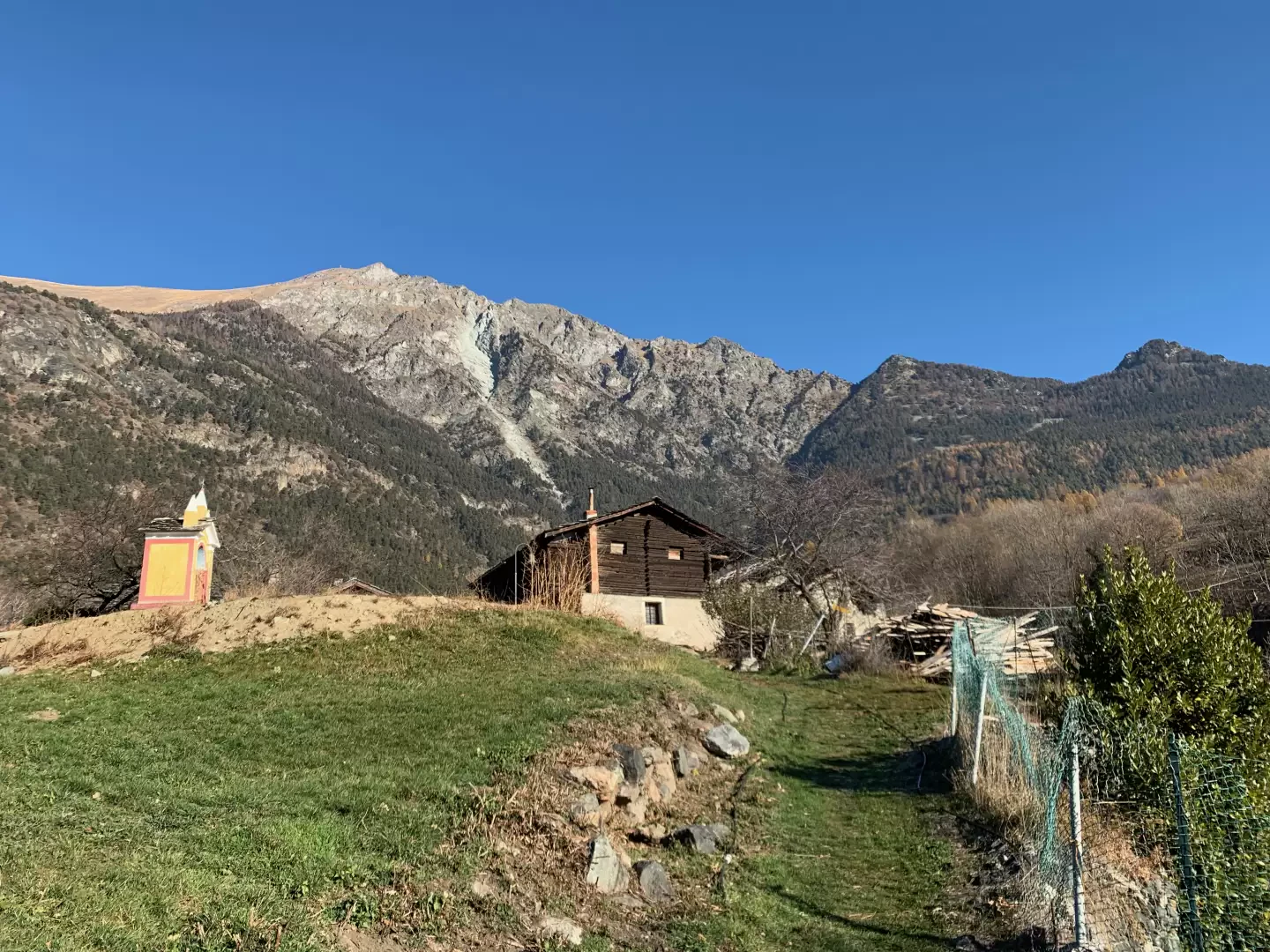
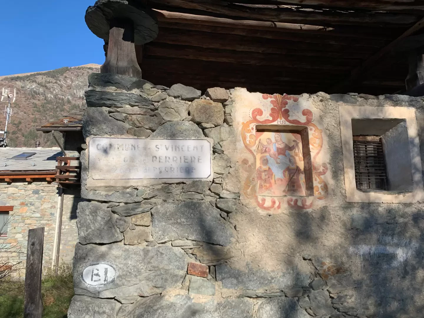
1h00' After having had a look at the characteristic colourful oratory of Dizeille, head towards the communal road, which should be followed for a few dozen metres before turning onto a farm track on the left that first climbs up a wooded strip and then enters the pastures before reaching the village of Perrière (1036m).
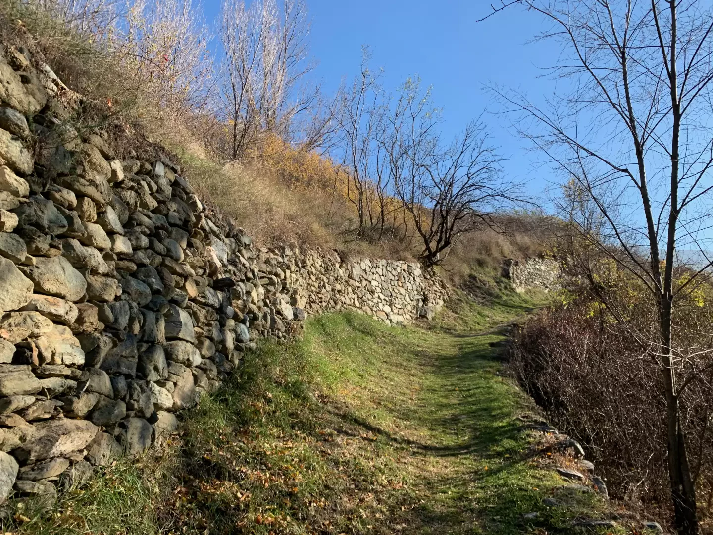
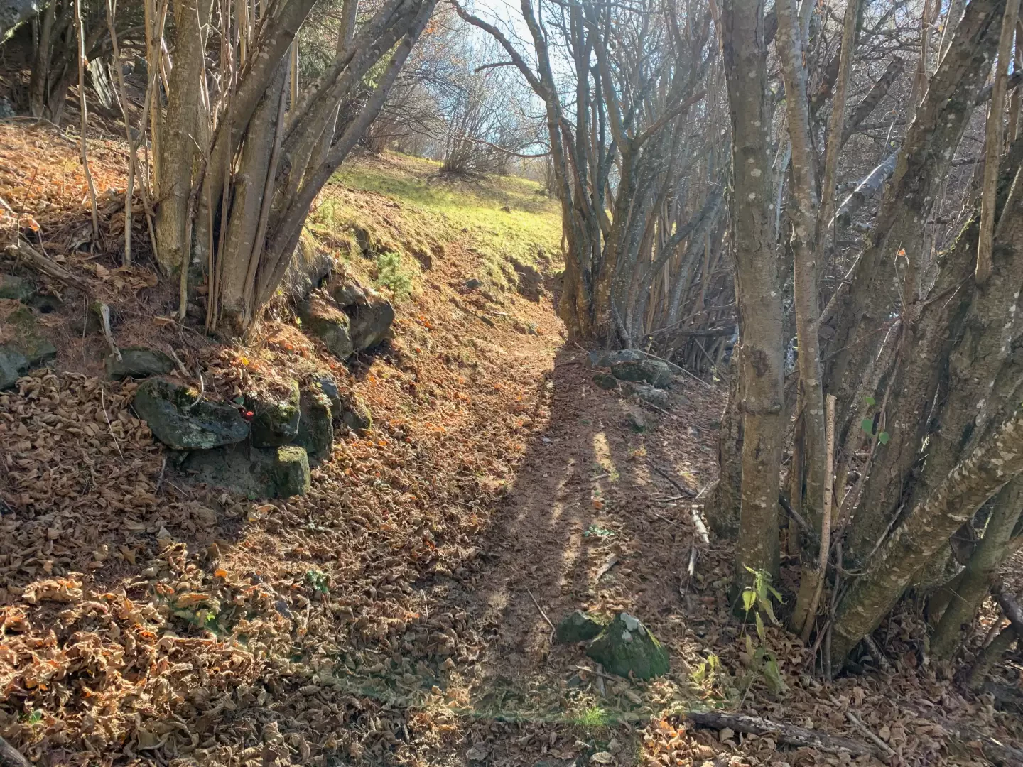
1h10' Having passed the old primary school building, proceed for a short distance on the municipal road before turning left and entering the village. Continue leaving the houses on the right until you come to a fork in the road: keep to the right and climb up the wood on the wide tractor-track, which you must leave after a couple of hairpin bends to continue along the lovely path bordered by stone retaining walls. At the end of an almost flat section, turn left and climb up the pastureland, crossing a short wooded strip. Continue until crossing the tractor track again, which, without any orientation problems, leads to the municipal road to Pradiran. Cross the road and take the path again, which soon leads to the low houses of Pied Martin (1012m). Continue on the communal road again for a short distance and shortly afterwards rejoin the path that reaches the communal road for the last time at the crossroads to Nouarsaz.
1h45' Neglect the crossroads and turn right, continuing on the communal road that is practically level as far as Pradiran (1253m, ⛲).
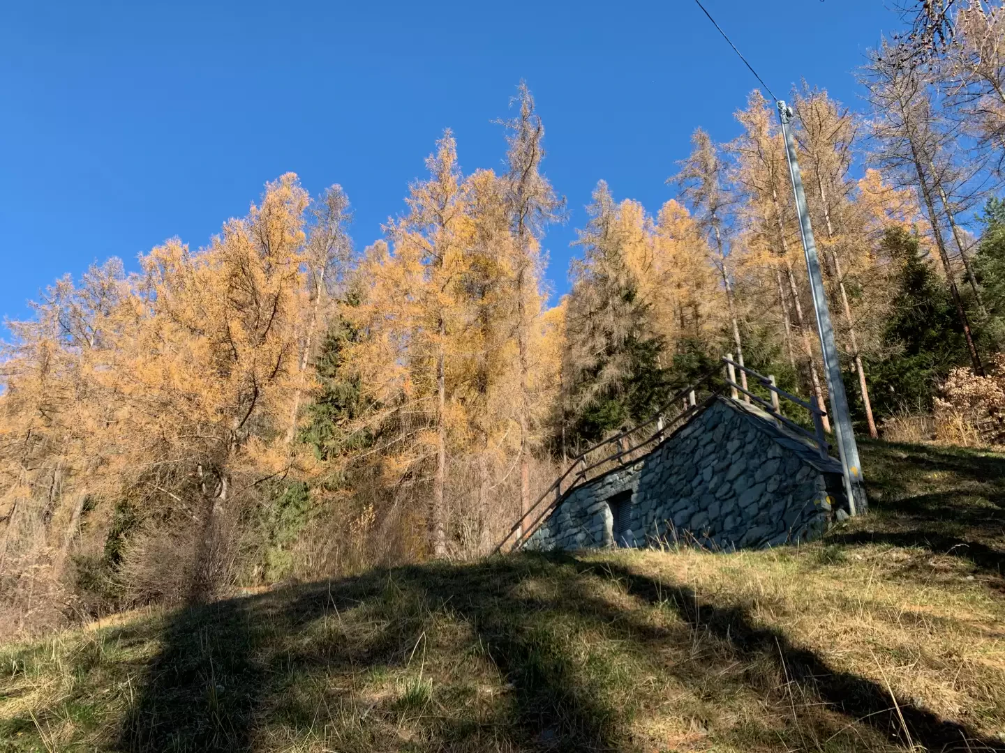
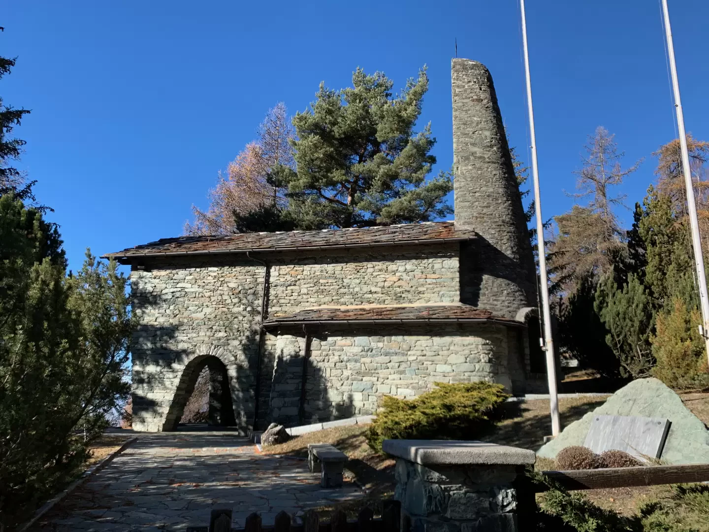
1h55' When you reach Pradiran, leave the little communal road, which ends here, and continue following the signs on the post, taking a path to the left that immediately leaves the last houses and climbs up the wooded slope. After a few turns, the mule track reaches a clearing where there is a Ru Courtaud water distribution cabin. We now face the section with the steepest slope of the entire itinerary, always on the path that is nevertheless evident. When the slope declines, the path turns right, meeting a new aqueduct building and, a little further on, enters a beautiful clearing. A new marker indicates that the destination is now near. Pass another clearing, this time wider, and then take a narrow path that almost reaches the perimeter walls of the park surrounding the chapel. Continue downhill for a short descent and then climb up a last short stretch to the regional road and at the same time to the access gate to the Partisans' Chapel (1500m, 2h45').
The descent is along the same path as on the outward journey 2h00'.
General information
Signposts:
Type of route:a/r
Recommended period: April, May, June, July, August, September, October, November
Exposure to sunlight:West
Objective hazardnone
Exposed Tracts:none
Useful Equipment:normal daily hiking equipment
Water: Via Roma, Via de Clos, Clapeon, Dizeille, Pied-Martin, Pradiran
Photo gallery
Comments (0)
Sign in to leave a comment