Champsin, from the Mesaney sports area


Edited by:
Massimo Martini
Updated at: 21/03/2026
Access
Leaving the motorway at Châtillon, turn left and proceed in the direction of the village for about a hundred metres. At the next crossroads, turn left in the direction of the railway station. Continue downhill, passing two roundabouts and the railway station itself, before passing under the railway and ignoring the junction for Ussel. Cross the Dora Baltea and turn right in the direction of Pontey: continue on the regional road passing the villages of Torin, Bovaye and Lassolaz where, shortly after the new town hall, you turn left at the chapel of Santa Croce. Go up the small road to the car parks of the Mesaney sports area, where you can leave your car with no parking restrictions.
.Introduction
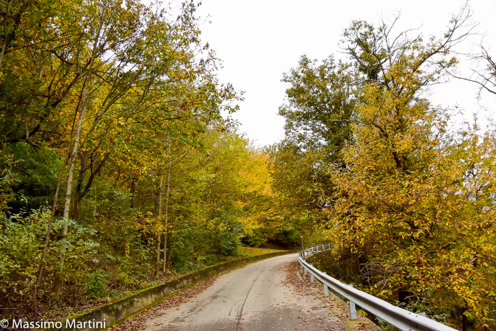
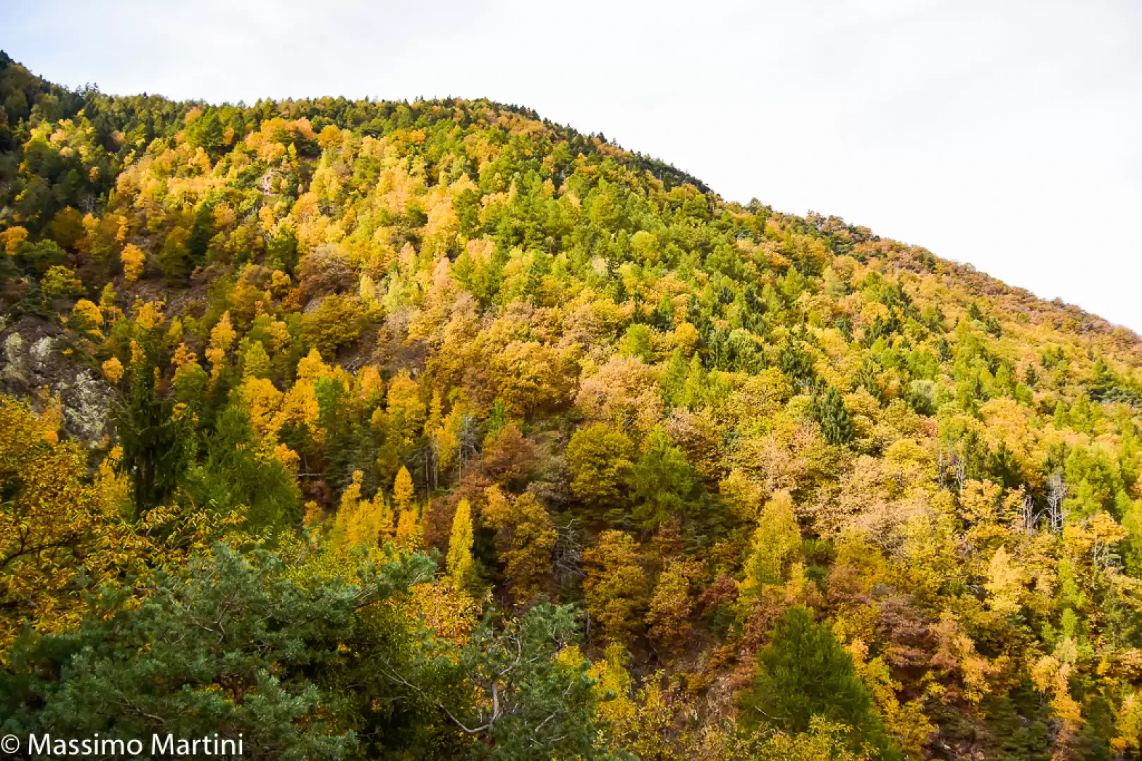
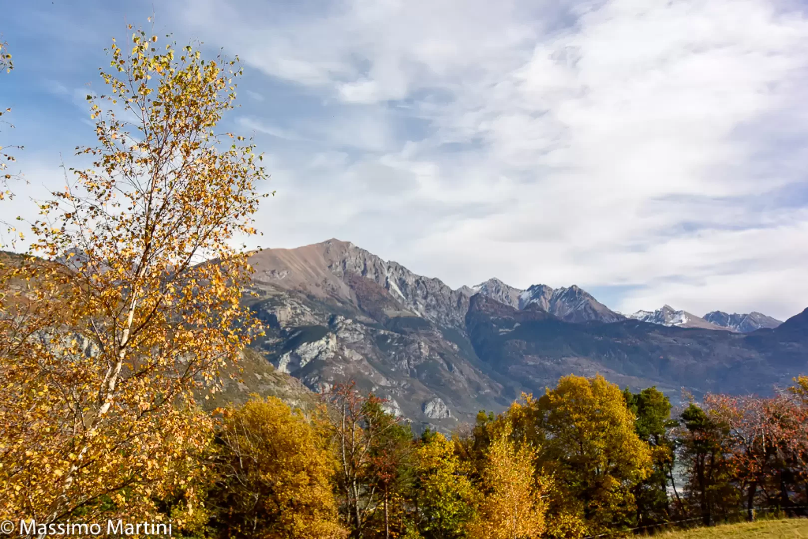
Champsin is an alpine pasture on the edge of a beautiful and panoramic clearing close to the Cloutraz promontory. The proposed excursion runs through the Vallon de Prélaz on the wooded envers side of Pontey. Given the low altitude, the itinerary can be walked practically all year round, although the autumn season is preferable for the colourful foliage of birch, oak and fir trees.
Before arriving at the alpine pasture, you will come across a sign indicating private property and no access; to continue towards Cloutraz, you must briefly enter the 'protected' area.
Description
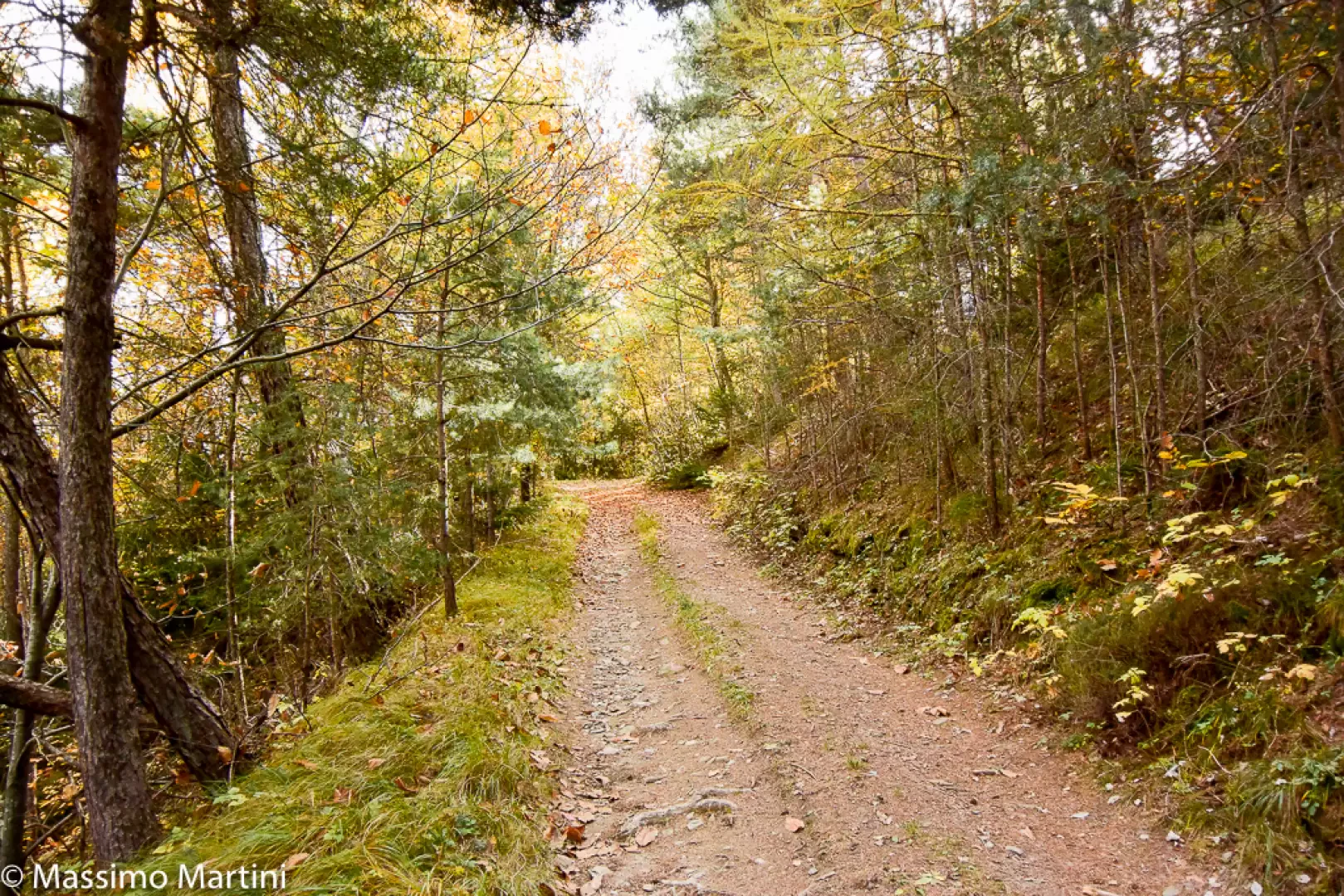
0h00' From the car park, proceed in a westerly direction along the small road above the sports area. Neglect the path
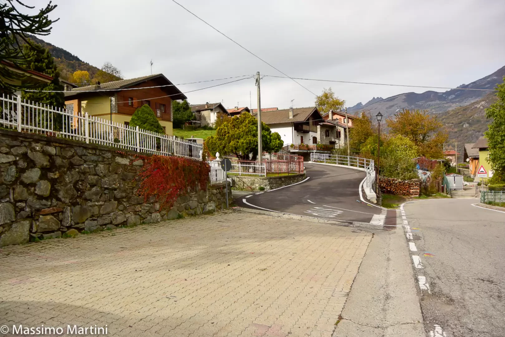
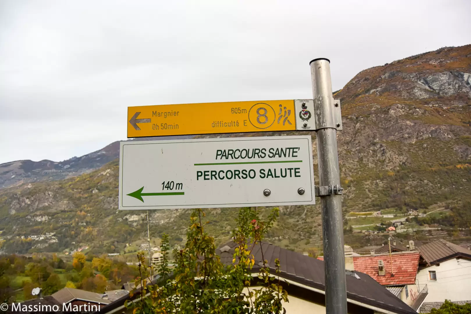
for Alpe Valmeriana and continue straight on until you come to a stable where you turn left, leaving the road to take a dirt track that soon leads to Crétaz, where you will find the Rita trattoria. Turn right and just afterwards left to climb a small road that crosses the village. At the end of the short climb (fountain), continue straight on, meeting the beginning of the health trail sign
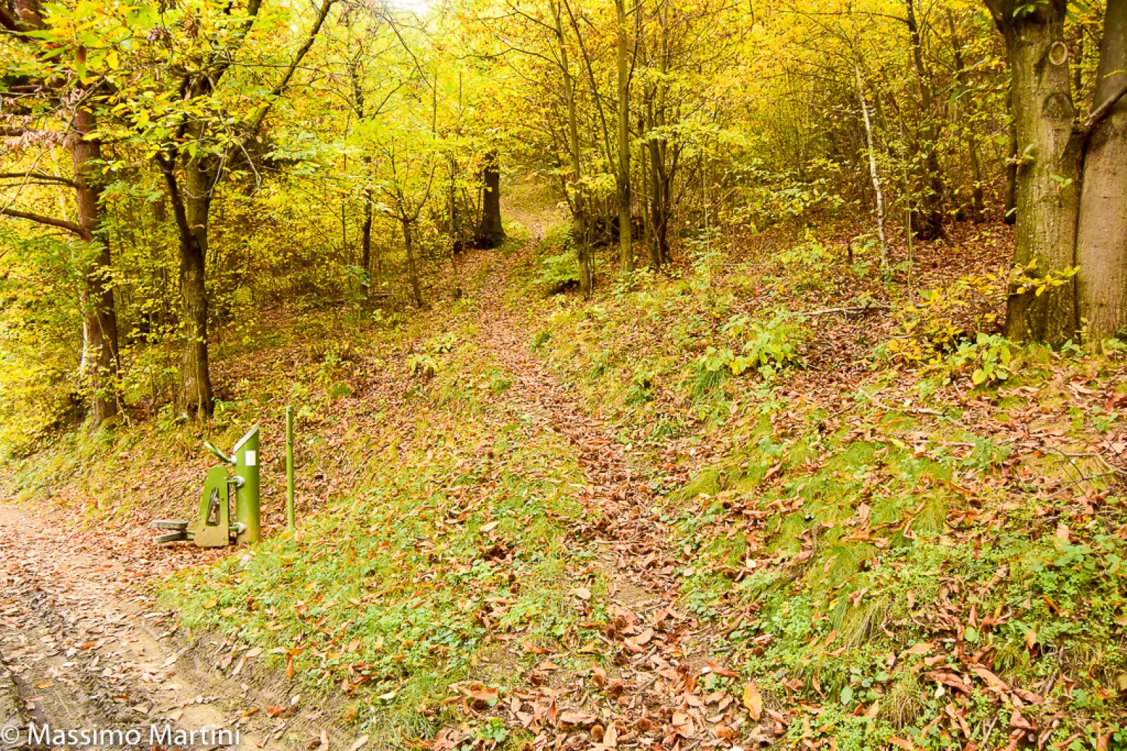
and leaving the asphalt road. Continue slightly uphill through the forest following the health trail to Margnier. After turning right, the path flattens out until it meets the start of the path
, to the left of the direction of travel.
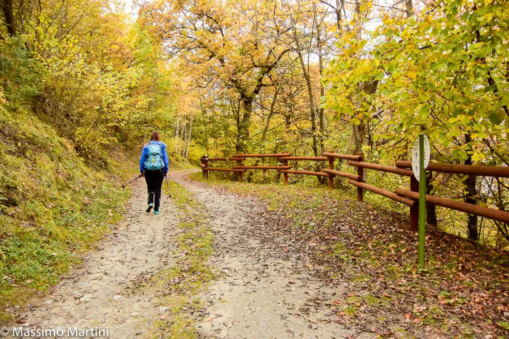
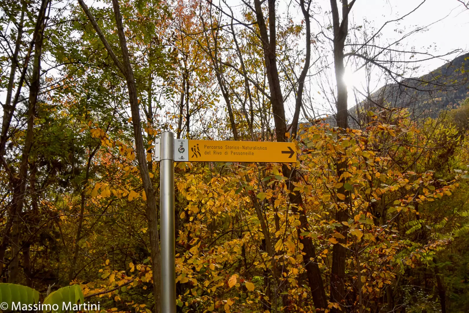
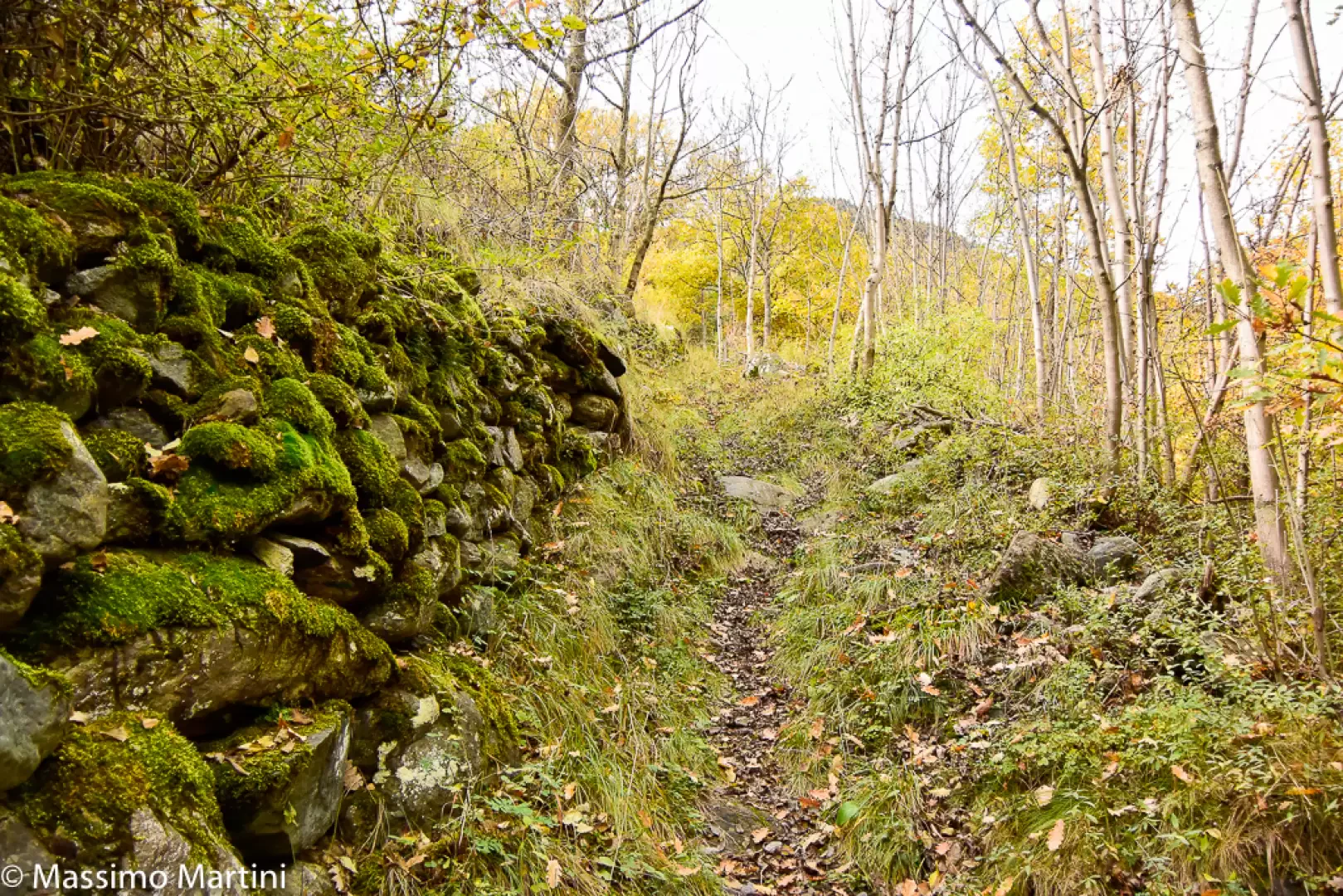
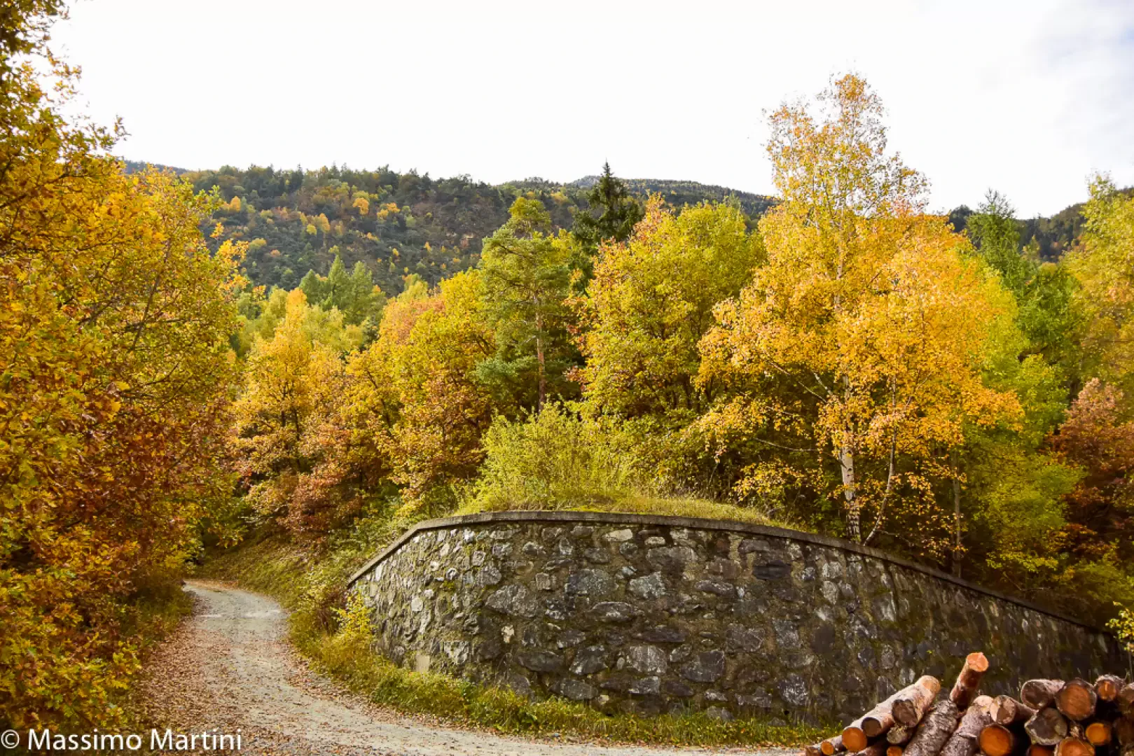
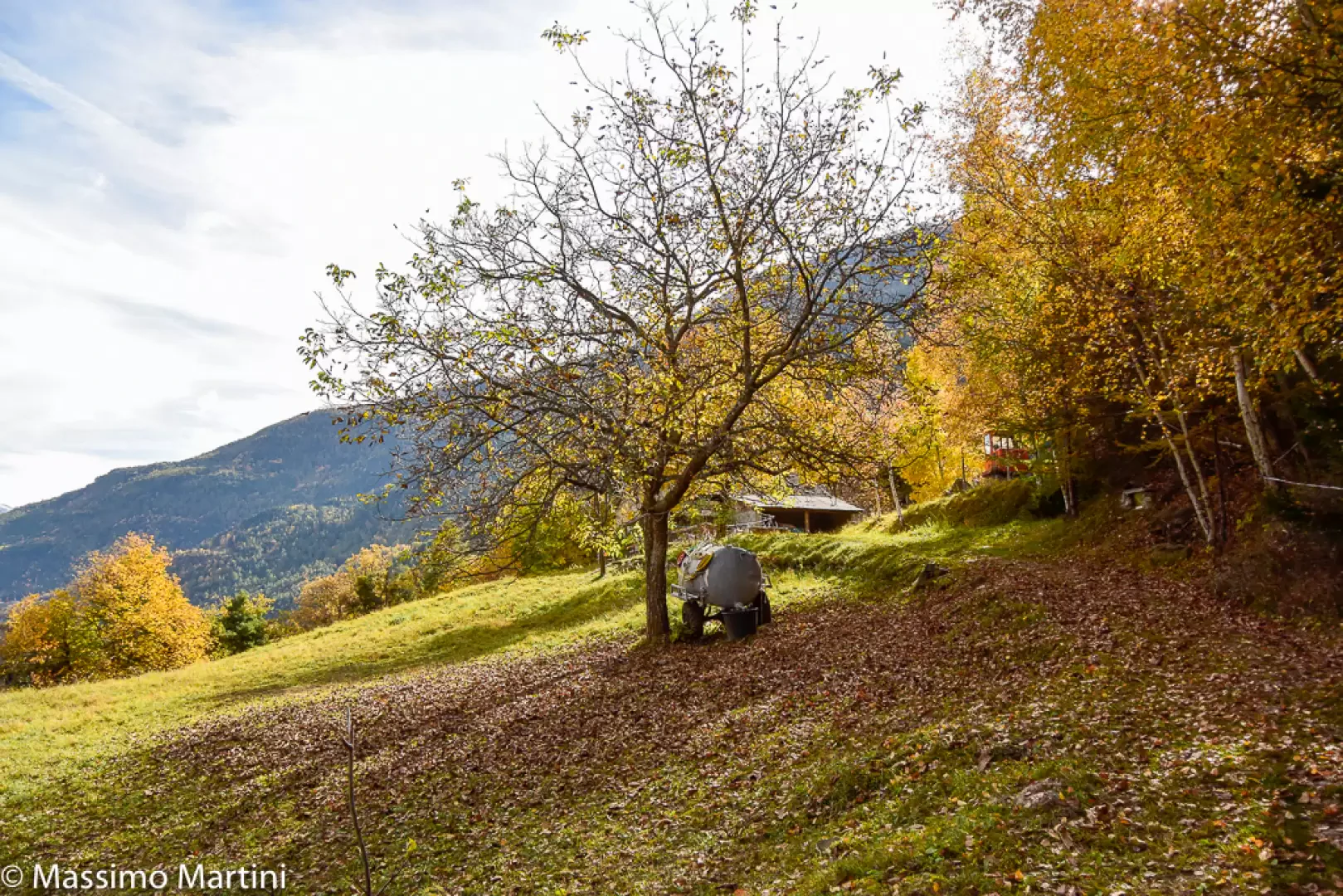
0h20' Go up the beautiful chestnut wood until you meet, for the first time, the farm track that leads to Ussert. After crossing the track, continue along the path, ignoring the signs for the "Rivo di Pessoneille nature-historical trail" that branches off to the left. Go up the slightly sparser forest along the beautiful mule track bordered by drystone walls, which soon leads to the second "crossroads" with the farm track: follow it for a few metres on the left before rejoining the path on the right. The chestnut tree gives way to downy oaks and birches, and the path continues slightly uphill into the Vallon de Prélaz. Having reached a fork, keep to the right, the path flattens out entering the shooting range before crossing the Torrent de Prélaz impluvium. Start climbing again with a diagonal path through the wood, which becomes more sparse in places, until you reach the dirt track leading to the mountain pasture. Turn left and follow the track until you reach the wide clearing where you will find the Champsin mountain pasture (901m, 1h00').
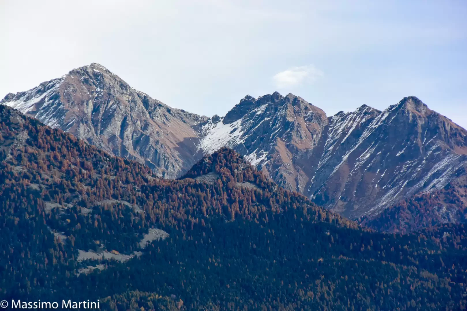
From the clearing of the mountain pasture, there is an interesting panoramic view of the Mont Zerbion and its coastline as far as the Testa di Comagna.
The descent follows the same route as on the way up.
Photo gallery
Comments (0)
Sign in to leave a comment