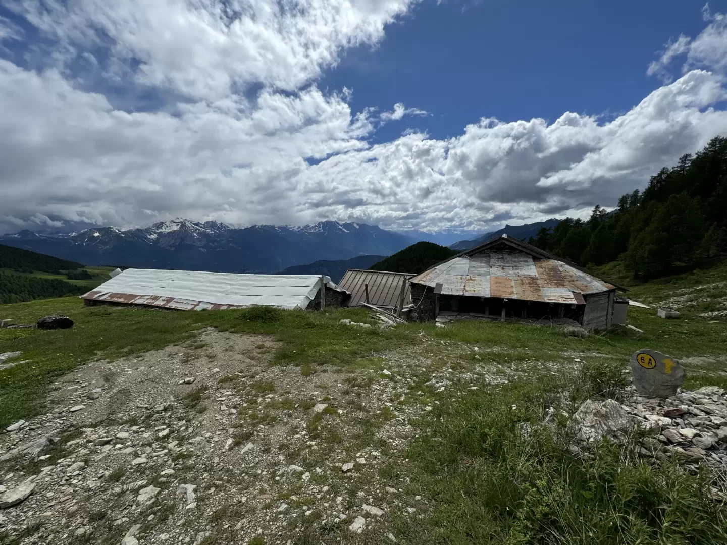
Champ Cellier dessus, from Promiod

Access
Leave the motorway junction at Châtillon, turn left and continue for about 300m until you come to a roundabout: take the third exit and continue straight on Via E. Chanoux. Go through the centre of Châtillon for about 600m and then turn slightly right onto Via Menabreaz to follow for 450m to the characteristic roundabout with the "Matterhorn" inside. Take the second exit and take the Valtournenche road, following it for about 7.6km to Antey-Saint-André where you turn right onto for La Magdeleine. Climb up the regional road for 4.6km until you reach the junction for Promiod. Follow the little communal road to the right for 1.4km until you come to a large free car park on the left 🅿️ where you can leave your car.
[0h23'] - [14.9km]
How to get there with GMaps
How to get there with Apple Maps
These directions are based on direct verification carried out at the time of the survey of the route so the information should be checked before starting the hike. We recommend using a GPS navigator or map app on your smartphone to get up-to-date and detailed directions.
Introduction
The Champ Cellier Dessus alpine pasture, located in the picturesque Promiod valley, is a fascinating destination for mountain hikers. Nestled in the heart of the Aosta Valley, this alpine pasture offers an authentic experience, where unspoilt nature and Alpine traditions come together in a landscape of rare beauty.
The starting point for the hike is Promiod, a charming Alpine village located at an altitude of around 1,500 metres. From here, the route winds its way along well-marked paths through lush forests and flower-filled meadows. Along the way, hikers can admire a wide variety of local flora and fauna, making the experience even more immersive and engaging.
Description
0h00' 0.00km From the parking area, proceed in a southerly direction entering the village of Promiod. After a short descent, you first reach the chapel dedicated to Saint-Antoine (fountain 💧 on the right) and a little further on, after a short ascent, the fork with the entrance to the path (fountain 💧 at the start of the path).
0h05' 0.16km
Follow the path, which leaves the last houses of Promiod, and crosses the meadows bordered by a wooden railing, until it crosses just above the farm road. Cross the road and continue along the beautiful mule track until the next meeting with the farm track, which, once reached, begins to climb up to the left. On the dirt track, go up the orographic right-hand side of the Vallon de Promiod, leaving the pastures to plunge into the beautiful coniferous forest of Praz Carral. The climb continues steadily and touches the ruins of Boettes before reaching a hairpin bend with a marker and a fork in the road.
0h40' 1.50km Turn left, ignoring the small road that continues straight ahead, and then immediately right before tackling a fairly steep tarmac road before leaving the forest near the ruins of Supplin and Brovié. The slope reduces and interesting views open up of the Tantané-Zerbion coast and its characteristic grassy slopes. Neglect the track that descends to the right to Champ and Francou before making a couple of turns near the ruins of Brenvey (2026m) before re-entering a wooded strip. The trail re-enters the forest, skirting the ruins of Renard (2046m) before tackling a small climb that leads, after a couple of twists and turns, out of the forest, facing the characteristic pyramid of Mont Tantané. A few hundred metres along the road and you reach another fork in the road.
1h45' 4.40km Turn left and follow a new small road that takes you up and down a few hairpin bends to the pastureland of Champ Cellier dessus (2147m), which is reached after a short descent.
.Punti di Interesse
- Promiod
- Cappella di Promiod
- Champcellier
- Châtillon