Graines Castle, from Curien


Edited by:
Massimo Martini
Updated at: 20/05/2025
Access
At the motorway junction in Verrès, enter the roundabout and take the second exit in the direction of the old town. Continue for about 300 metres, then turn left onto Regional Road in the direction of Val d'Ayas. Follow the regional road for 13.7 kilometres, passing the characteristic villages of Challand-Saint-Victor and Challand-Saint-Anselme, until you reach Arcesaz. Pass through the village and, shortly afterwards, turn right onto the municipal road to Graines and Curien. Go up the small road for about 800 metres until you reach the sign for Curien, then turn right and descend for another 200 metres until you reach the large, free fractional car park 🅿️ where you can leave your car.
🚫 The starting point of the itinerary cannot be reached by public transport, so it is necessary to use a private vehicle.
Distance and travelling time
🕒 Travelling time: 23 minutes
📏 Distance: 14.57 km
GPS navigation
📍 How to get there with Google Maps
📍How to get there with Apple Maps
ℹ️ Important note
The directions provided were verified on the date the route was surveyed. Before departure, it is advisable to check for any changes to the route. For up-to-date and detailed directions, we recommend the use of Google Maps or Apple Maps.
.Introduction
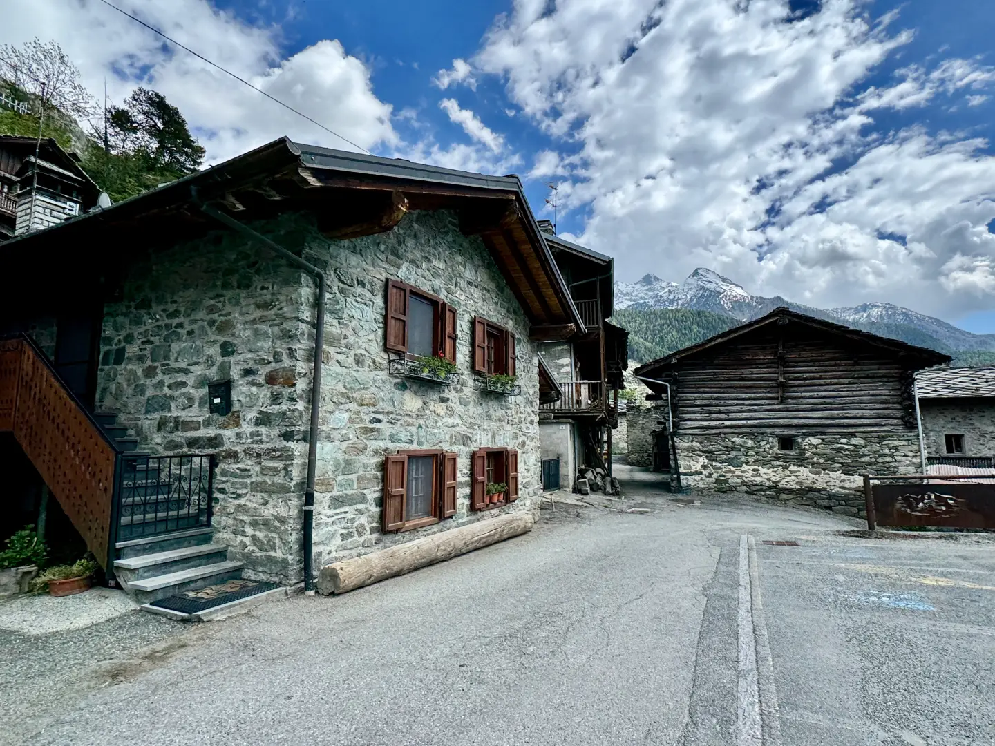
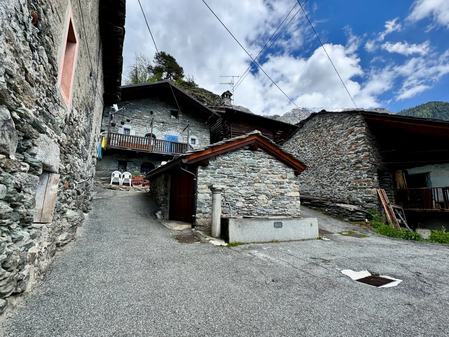
Between the muffled silences of the larch groves and the stone walls that still tell ancient stories, the route from Curien to Graines Castle accompanies the hiker on a short but evocative journey into the heart of the Val d'Ayas, amidst nature, memory and views of yesteryear.
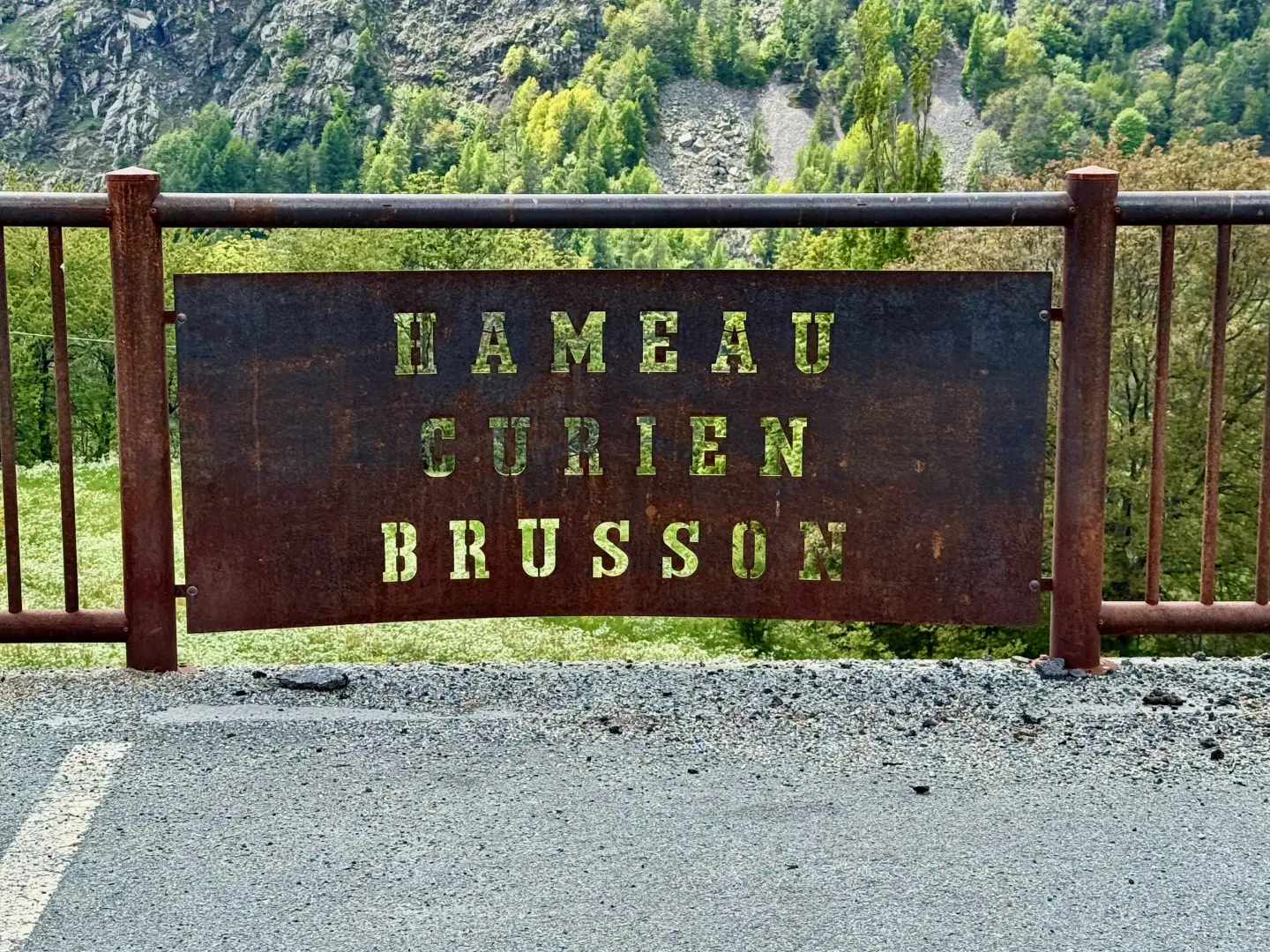
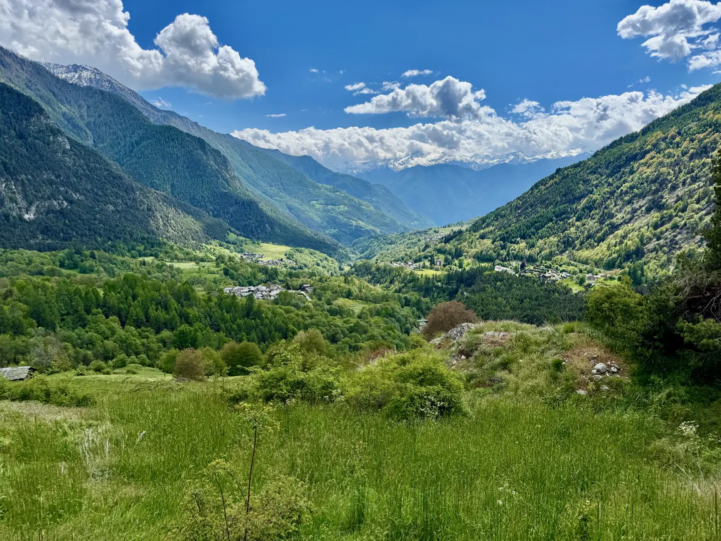
Located in the side valley of the municipality of Brusson, in Valle d'Aosta, this itinerary winds its way through a mountain environment characterised by coniferous forests and panoramic clearings, until it reaches one of the most fascinating medieval manors in the region.
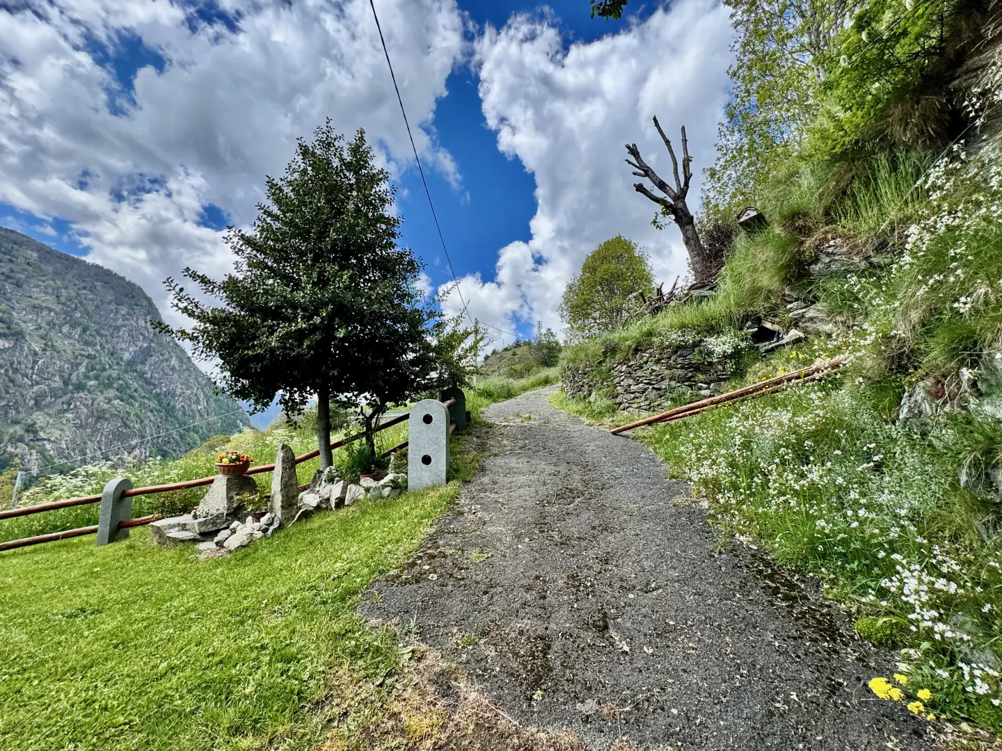
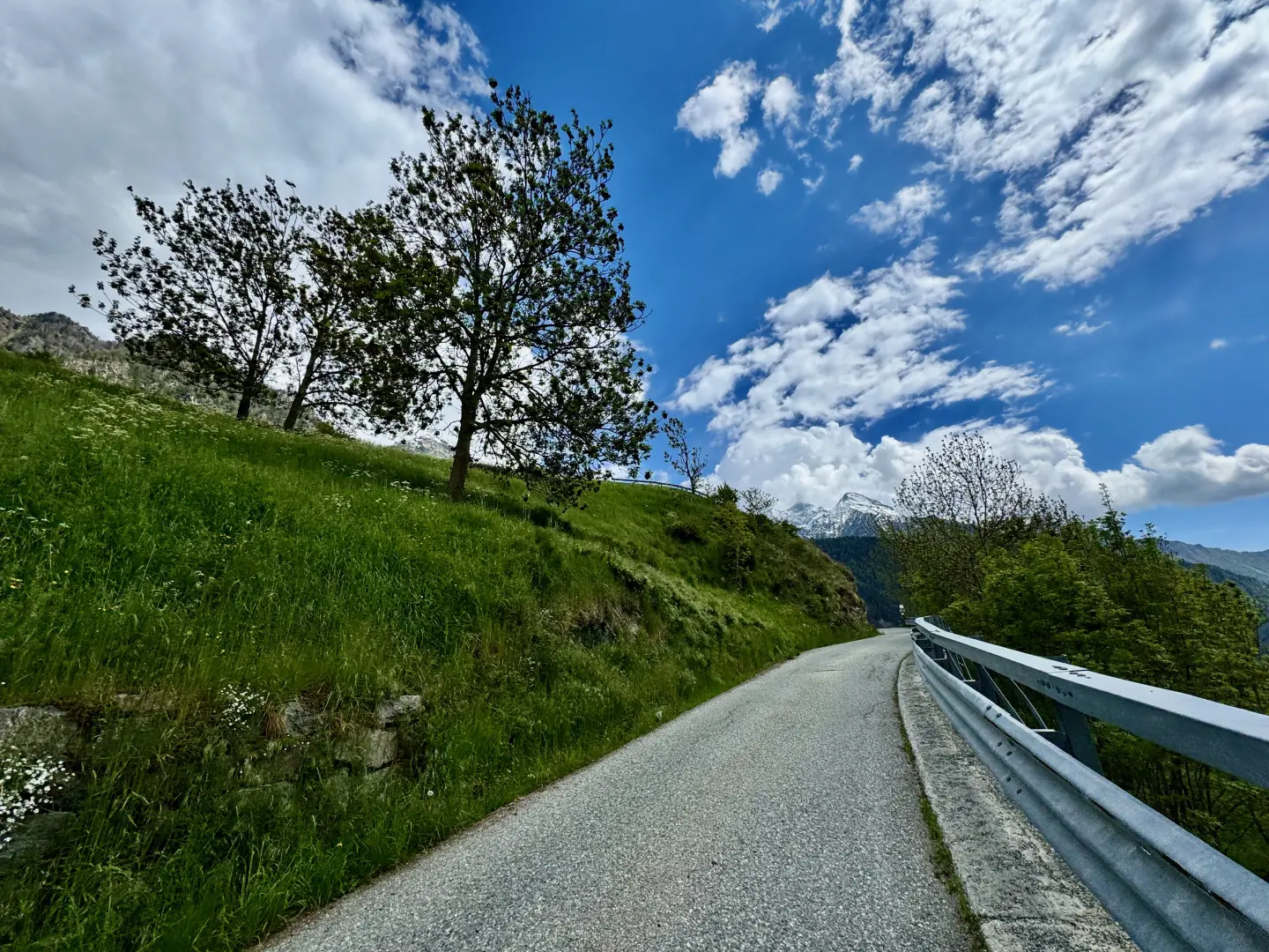
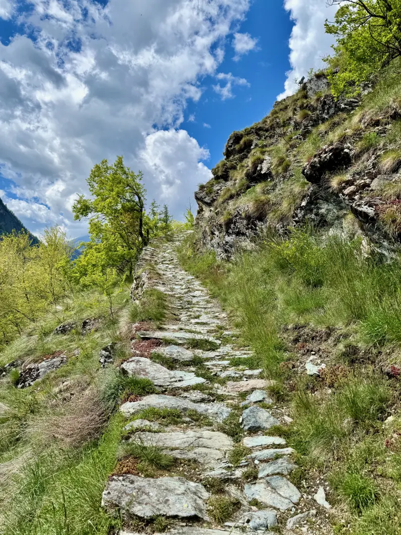
The path, simple and well signposted, is about 2 km long with a limited difference in altitude of about 130 metres, making it suitable also for families and inexperienced walkers. The ascent, which is never excessive, alternates between stretches on footpaths and short segments on roads, with views that gradually open up towards the valley below.
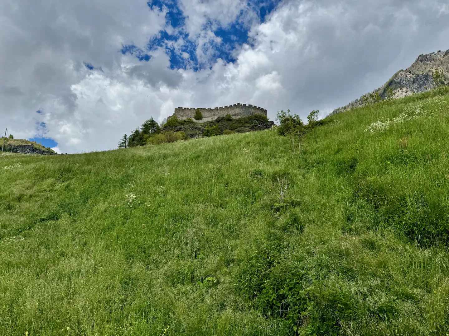
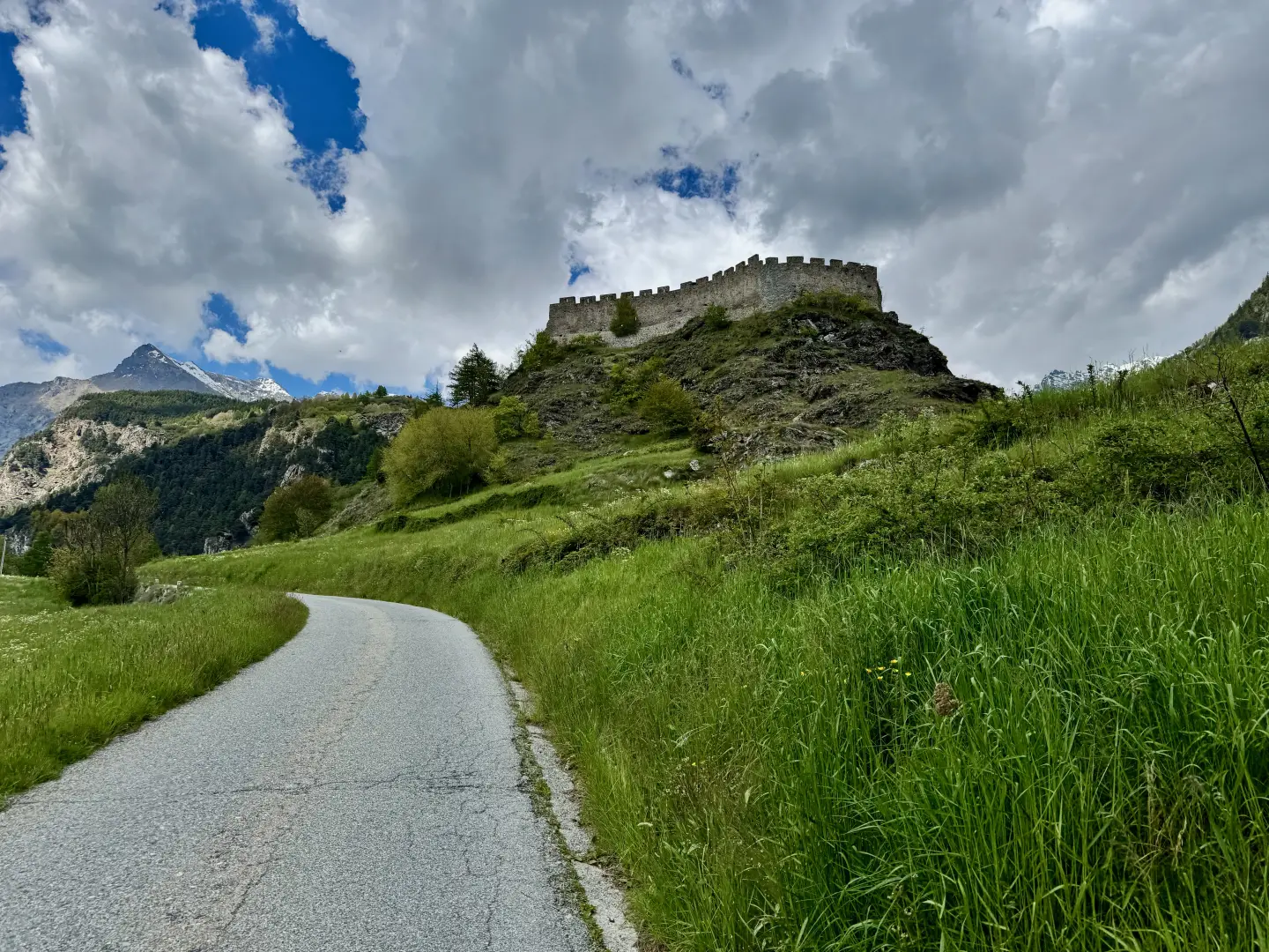
What makes this hike special is its balance between nature and history: the short walk culminates in the discovery of Graines Castle, an 11th-century building on a rocky spur, once owned by the Abbey of Saint-Maurice. From its entrance, the view sweeps over much of the Val d'Ayas, offering a perfect opportunity to immerse oneself in a landscape that combines the austerity of stone with the intimacy of the forest. An ideal destination for those seeking a walk full of charm in an authentic setting.
Description
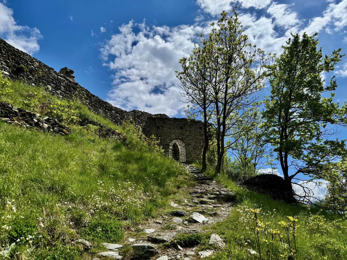
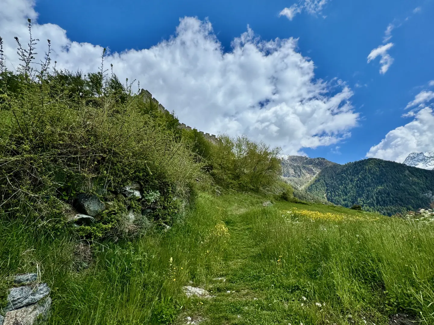
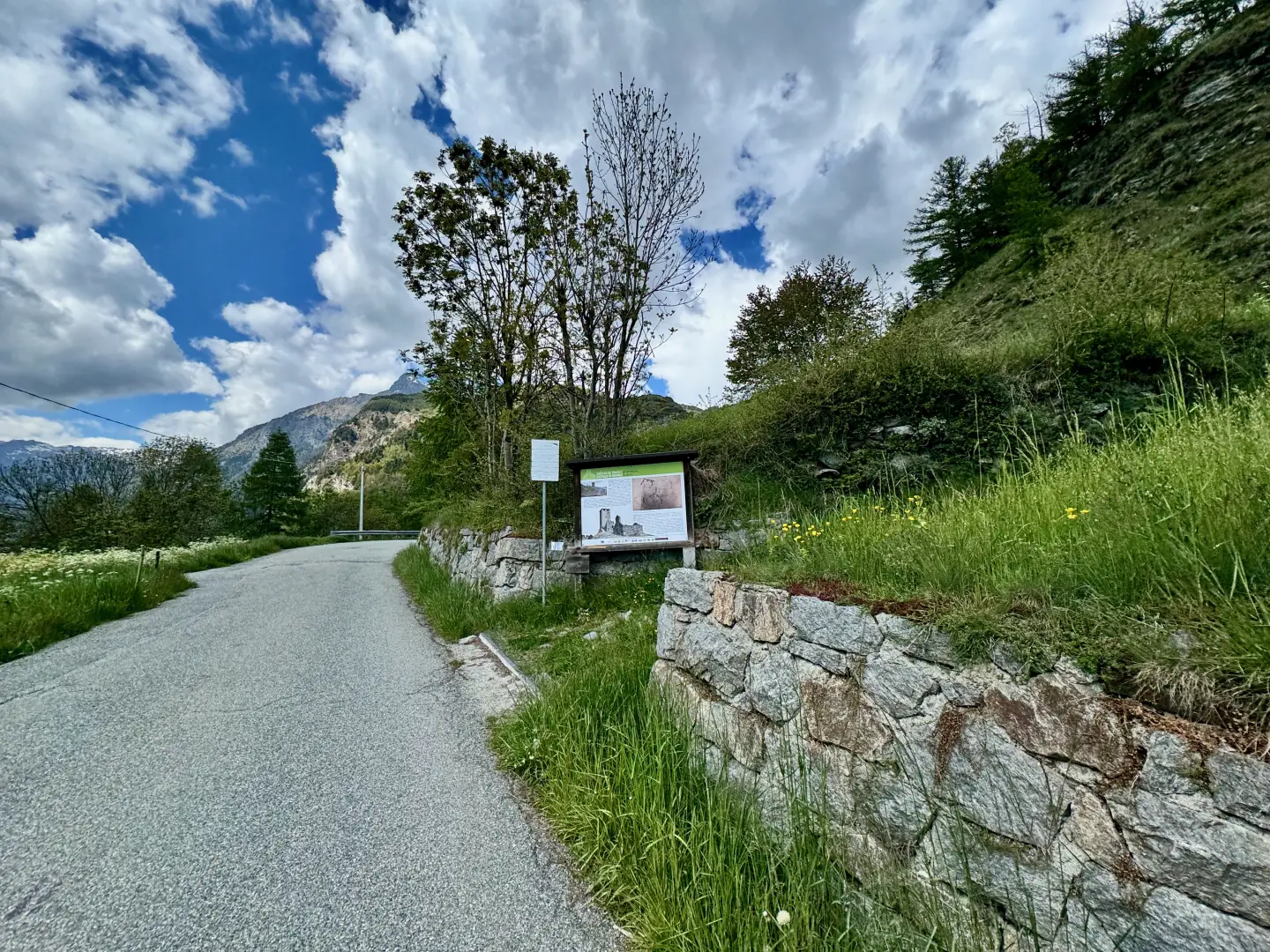
0h00' 0.00km From the hamlet car park, head towards the centre of the village where there is a small square with a fountain 💧. Turn left and walk up a narrow alleyway which shortly leads out of the village. After passing the last house, the alley becomes a path and with a short but steep ascent reaches the municipal road to Graines. Turn right and follow the road for about 450 metres; after a hairpin bend to the left, proceed in the direction of the castle and after about 450 metres you will come to the access path to the manor house. Turn right at an explanatory panel and climb up the mule track in a south-easterly direction and then make a left turn, taking you close to the walls. Cross a short strip of larch (çarix decidua) and then go close to the entrance of the structure, making a few short turns. Having reached the access portal, we enter the fenced-off area with the possibility of completing the visit at will 0h00' 0.00km .
The return trip follows the same route as the outward journey, first following the path then the communal road and finally the access path to the village of Curien (1,242m), the starting point of the hike (1,529m) 0h00' 0.00km
Points of Interest
Collections
Photo gallery
Comments (0)
Sign in to leave a comment