Borroz bivouac, from the Marqueron car park


Edited by:
Massimo Martini
Updated at: 21/06/2026
Access
Navigazione stradale
Lasciare l'autostrada allo svincolo di Nus e procedere per 220m (0,22km). Alla rotonda prendere la seconda uscita e imboccare la in direzione Fénis, proseguendo per 500m (0,72km) fino alla rotonda successiva, dove prendere ancora la seconda uscita. Mantenere la destra in direzione di Località Chez Sapin ed entrarvi dopo 199m (0,92km). Continuare su Località Chez Croiset per 500m (1,42km) e su Località Chez Machet per 300m (1,72km). Dopo 160m (1,88km) svoltare a destra su Frazione Cors, proseguire dritto per 99m (1,98km), quindi continuare su Barche per 240m (2,22km) e su Località Miseregne per 400m (2,62km). Svoltare a destra per rimanere su Località Miseregne e proseguire per 220m (2,84km). Svoltare a sinistra e percorrere gli ultimi 9,6km (12,4km) fino al parcheggio, situato sulla destra.
Parcheggio
Al termine della strada si trova il parcheggio 🅿️ gratuito della Valle di Clavalité, punto di partenza dell'itinerario.
Accesso con mezzi pubblici
Per raggiungere il punto di partenza dell'itinerario è necessario un mezzo privato, poiché la Valle di Clavalité non è servita da trasporti pubblici.
Distanza e tempo di percorrenza
🕒 Tempo di percorrenza: 24 minuti
📏 Distanza: 12,4km
Navigazione GPS
Nota informativa
Le indicazioni fornite sono state verificate alla data del rilievo dell'itinerario. Prima della partenza si consiglia di verificare possibili variazioni del percorso o delle condizioni stradali. Per informazioni aggiornate si raccomanda di consultare Google Maps o Apple Maps.
Introduction
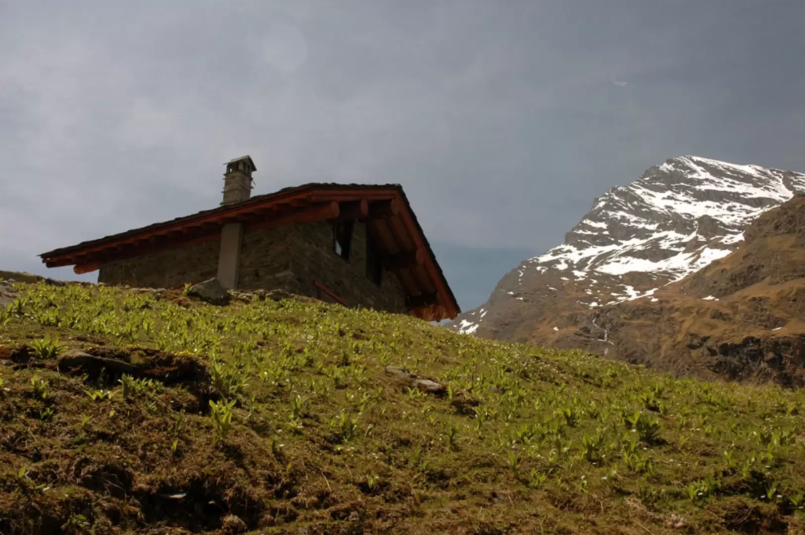
The opening of the new bivouac, dedicated to Egidio Borroz, allows you to discover the beautiful Clavalité valley.
Description
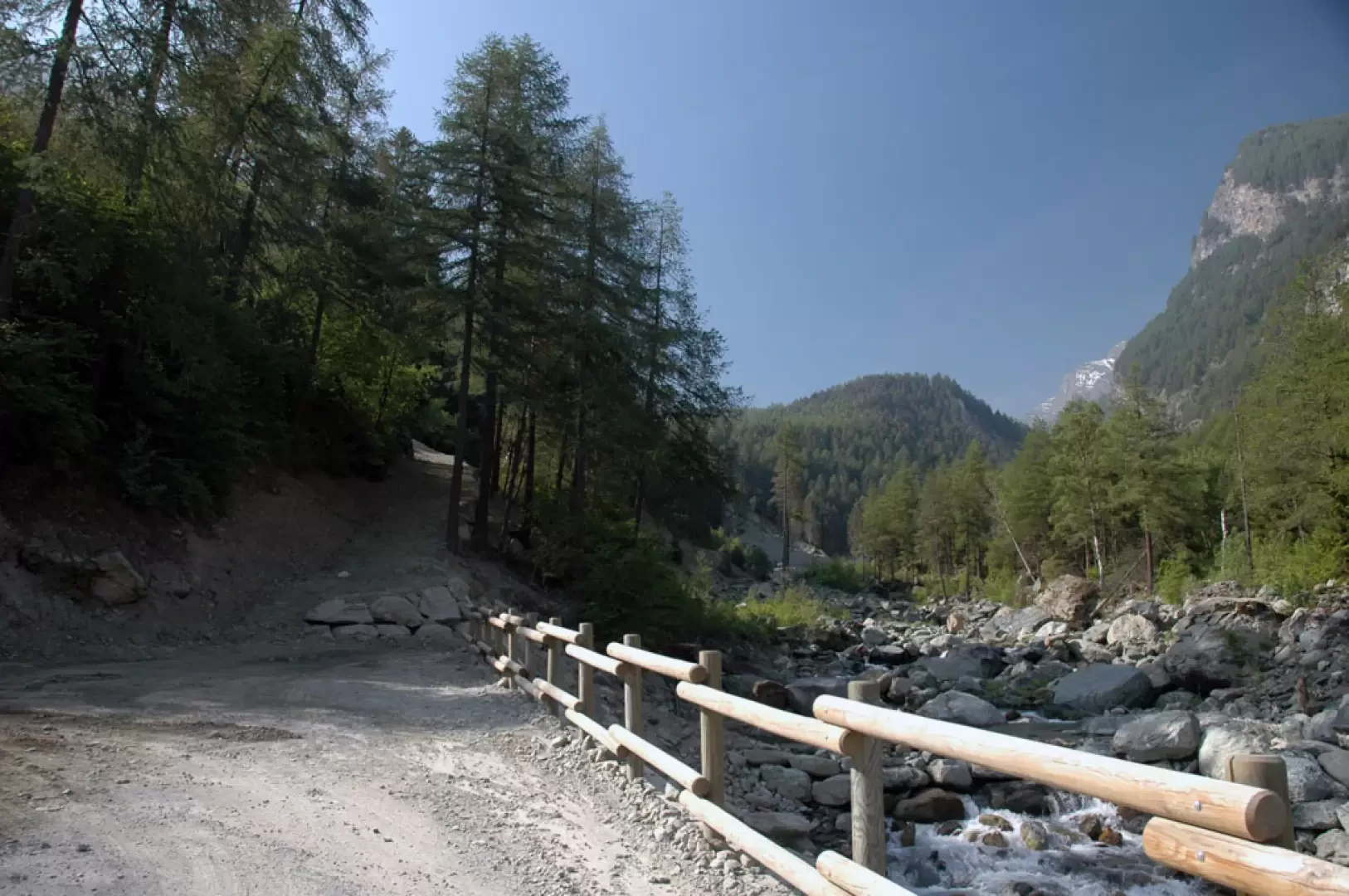
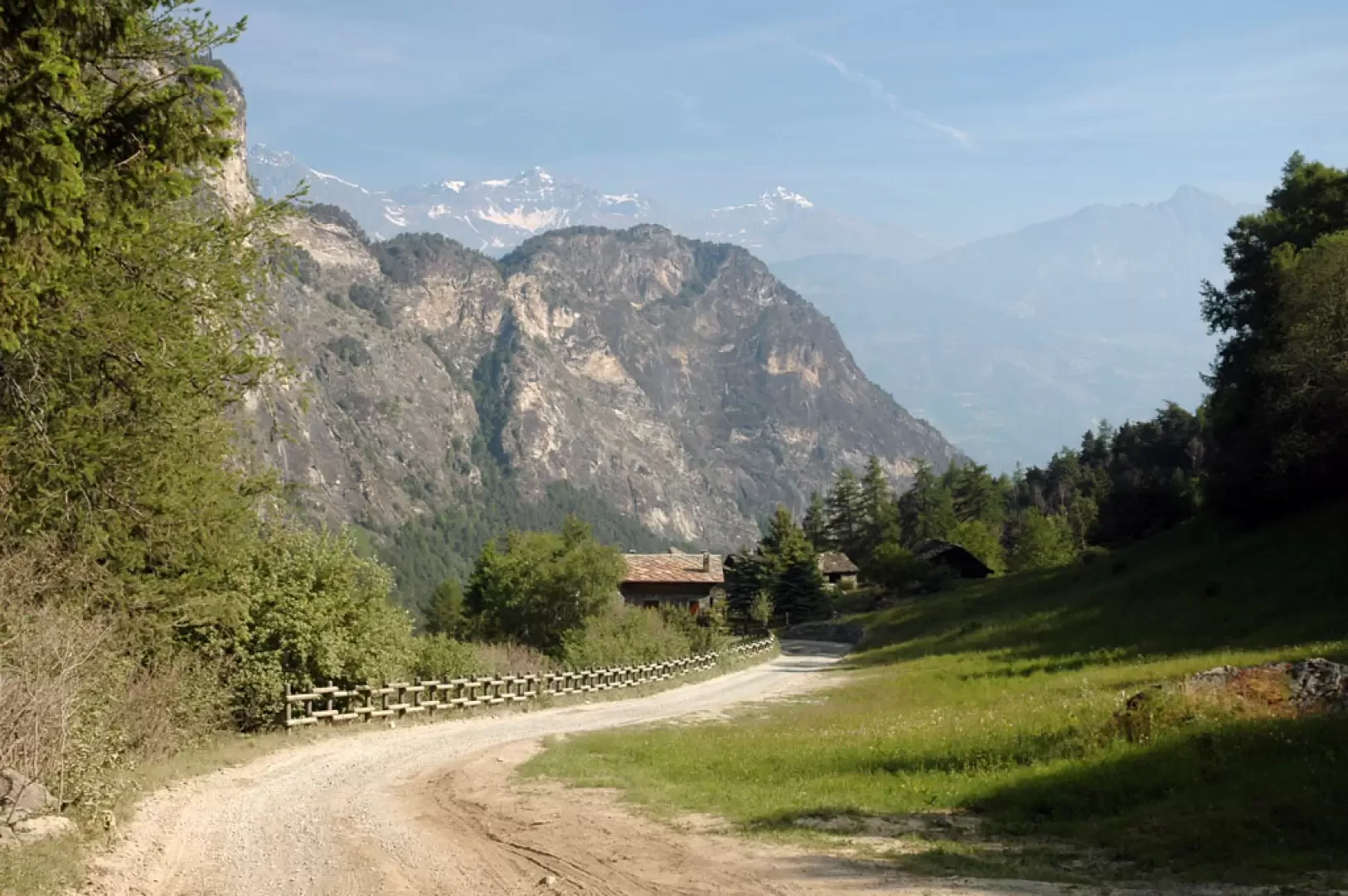
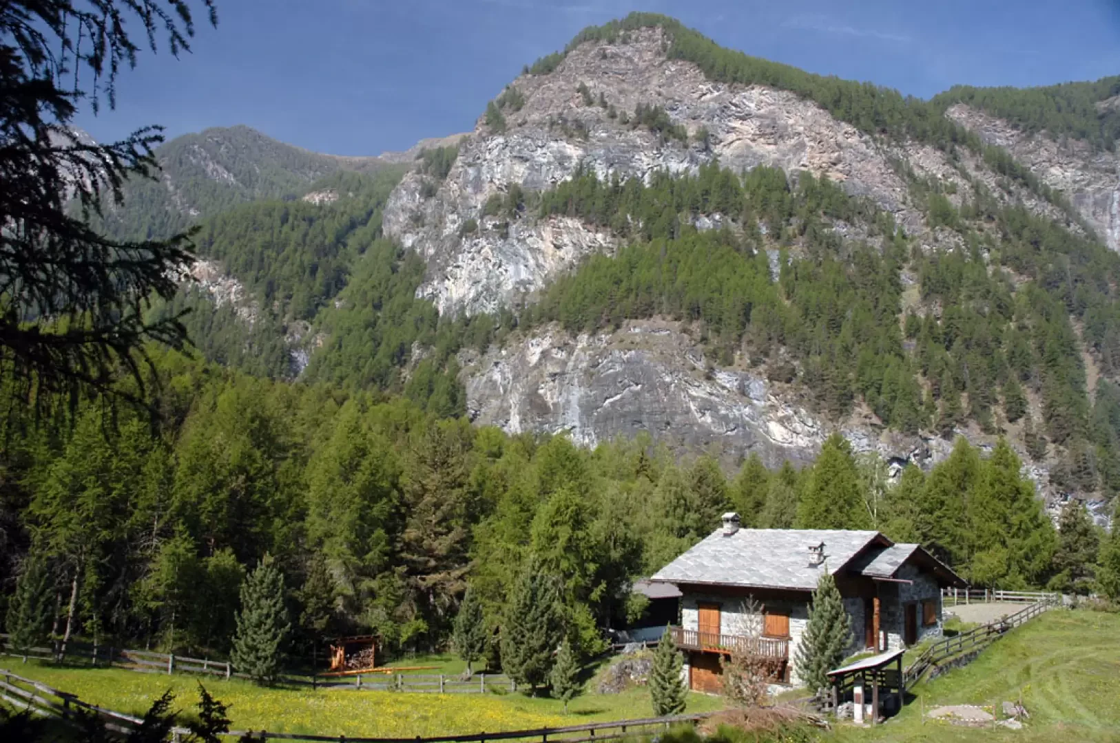
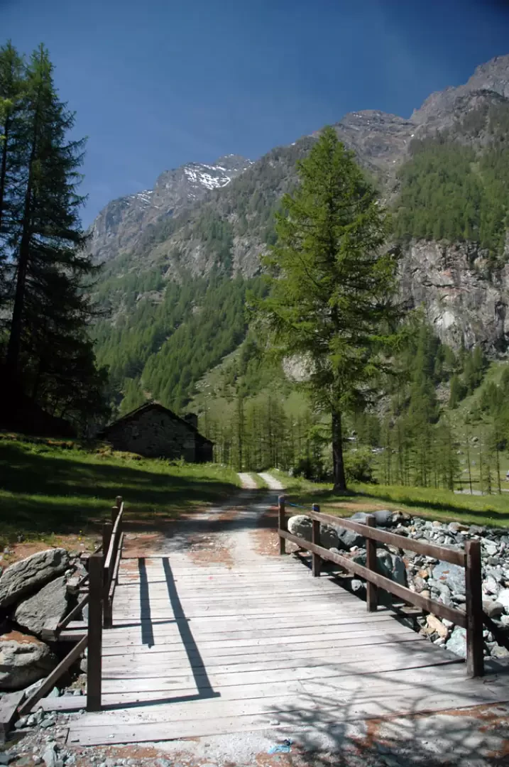
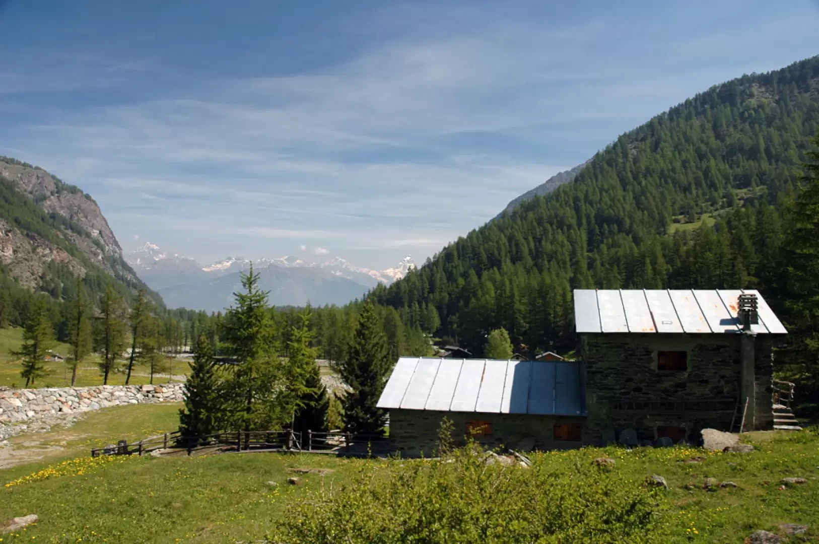
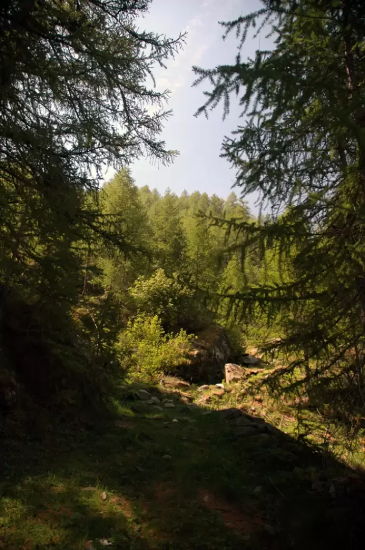
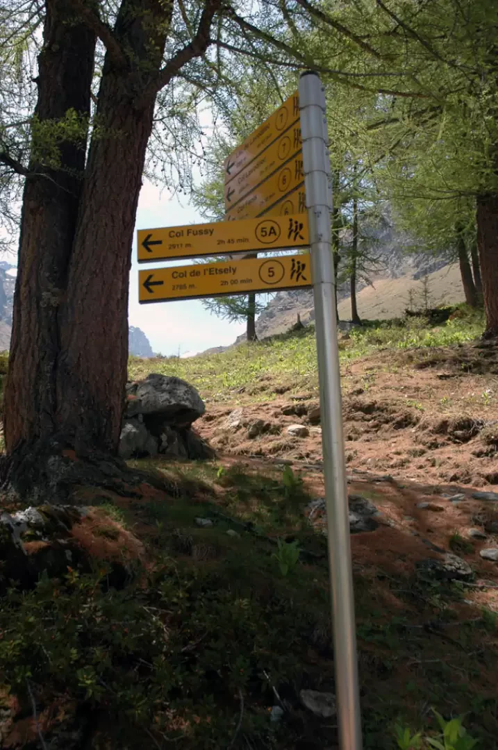
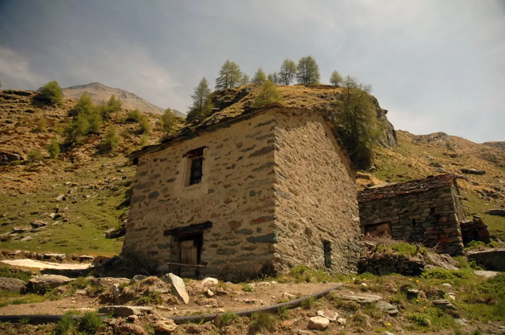
Leaving the car behind, take the farm road to Robbio; turn left immediately and you will soon reach the village of Lovignanaz (1169m, 0h05'), then turn right and head into the forest. You will soon come to a fork in the road; ignore the track that descends towards the stream and head left, entering the dense forest of larch (Larix decidua) and spruce (Picea abies). The road immediately becomes steep and then flattens out slightly at an impluvium; shortly afterwards, we reach a small clearing with a ruin on the left and the signpost indicating the start of the path (2a) to Colle di Bella Lana. The little road continues straight ahead and climbs with a certain vigour: a series of hairpin bends allows us to climb up through the wood until we reach another flat stretch: here we reach some renovated houses in the Marqueron locality (1442m, 0h30') where we also come across a covered fountain. Turn right up the last stretch of ascent until you come to a welcome panel at La Clavalité: from here the road flattens out and begins to descend slightly until turning left, meeting a small votive shrine and descending to the beautiful plateau of La Clavalité (1,500m, 0h45').
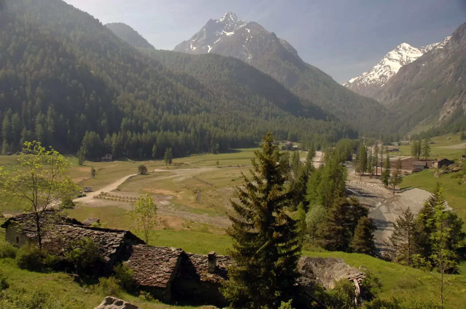
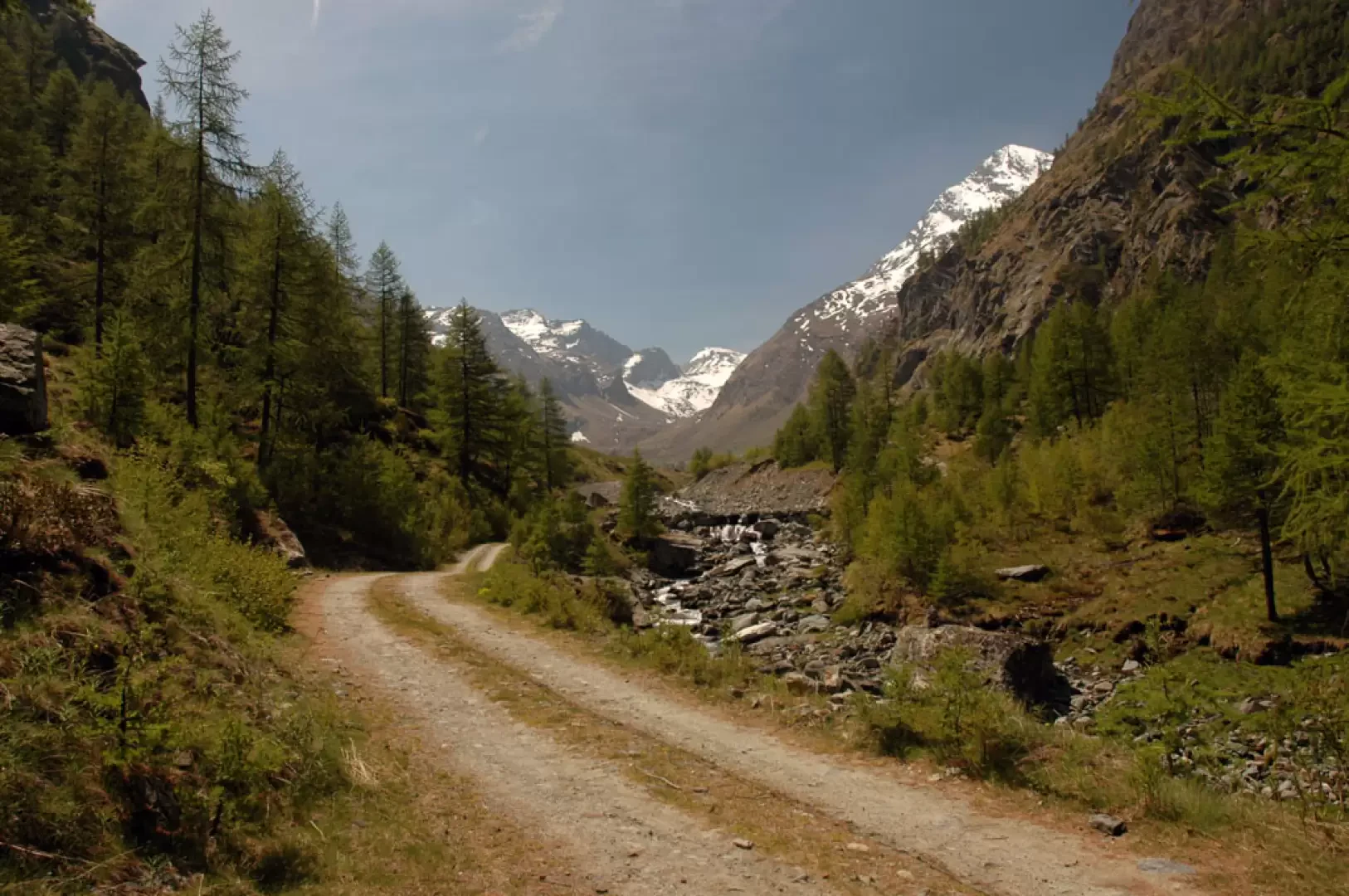
On crossing the plateau and its characteristic groups of houses, we come to a fork in the road: we ignore the farm road that continues to the left (it still leads to the destination as well as to Lake Medzove) and take a small road on our right, where a small bridge allows us to cross a stream. The signpost reads Grand Alp (2129m, 1h 30') but is currently lying on the ground. Leaving the last houses of Celey (1570m), we begin to climb up a paved mule track, leaving on the right the beautiful little waterfalls generated by the impetuousness of the Torrent de Clavalité. As you walk along the paved mule track, you have to make a few short detours from the path due to landslides generated by the floods of 2000. After 1h 40' of walking, the path leaves the forest and joins the previously neglected farm road. We now walk along the farm road and are accompanied along the way by the sound of the waters of the torrent, and we cannot fail to admire the massive silhouette of the Tersiva. Slowly we leave the forest and after 1h 50' we cross the stream on a tube bridge and ascend its orographic left. Leaving the ruins of Meney (1949m, 2h05') on the left, go up a last stretch in the direction of Grand Alp until reaching the junction for the Col d'Etsely (2043m, 2h20'): here turn left following the signs for the pass, descend a short distance until crossing a stream and then go up a few hairpin bends to the Etsely pasture (2087m, 2h30'). Here the little road enters the stream's impluvium while the bivouac appears before us. A few more short hairpin bends and we finally reach a fork in the road: follow the little road that branches off to the right towards Cuneau and we soon reach the Egidio Borroz bivouac (2156m, 2h40').
The descent follows the same route as the outward journey.
Photo gallery
Comments (0)
Sign in to leave a comment