Leave the motorway junction at Châtillon-Saint-Vincent, turn left and continue for about 300 metres until you reach the roundabout. At the roundabout, take the third exit and join Via Emile Chanoux. Follow Via Emile Chanoux for 600 metres, passing through the historic centre of Châtillon, and turn slightly right onto Via Menabreaz. Continue for 450 metres until you reach the roundabout with the “Matterhorn” monument in the centre, and take the second exit to join the regional road towards Valtournenche.
Continue along the regional road for 18.7 kilometres, passing through the village of Antey-Saint-André. Once in Valtournenche, drive through the village, and at the Hotel des Neiges, turn right and head up the local road towards Cheneil. Follow the road for 6.5 kilometres to the 🅿️ car park at La Barma, the starting point for the hike. The car park is spacious, but given the large number of visitors, on busy days it is advisable to arrive fairly early to avoid having to leave your car further down the uphill road. Just past the starting point there is a tourist lift, which is always in operation and saves you a 50-metre climb.
0h42' - 26.9km How to get there using GMaps How to get there using Apple Maps
The directions provided have been carefully checked as of the date the route was mapped. However, we strongly advise you to check for any changes that may have occurred since then, particularly regarding the route to the starting point. Before setting off, you should consult up-to-date navigation tools to obtain precise and current road directions. We recommend using satellite navigation apps, such as Google Maps or Apple Maps, to ensure maximum accuracy and safety on your journey.
Introduction
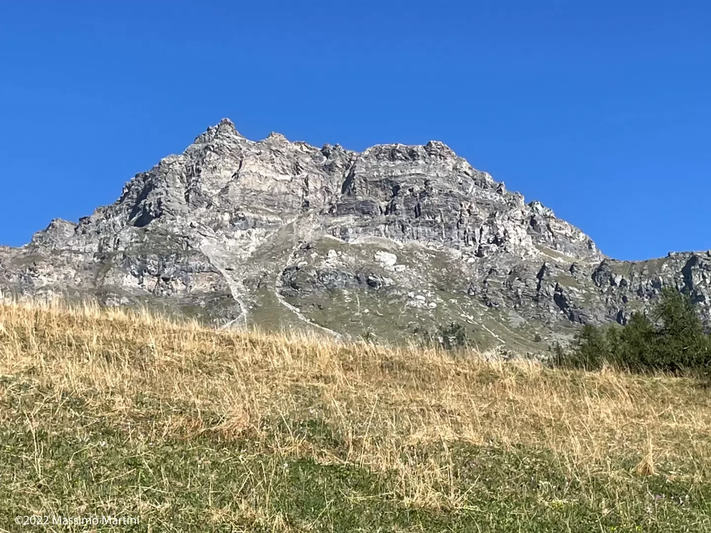
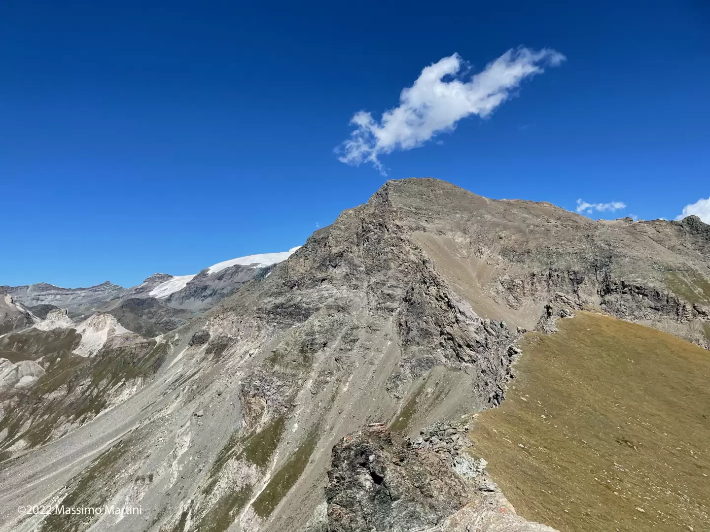
Seen from Valtournenche, the Becca d’Aran appears as a forbidding rocky bastion that gives no hint of an easy climb. In reality, the ascent begins in the pleasant Cheneil basin and follows the valley of the stream of the same name. After an initial, fairly gentle stretch, the gradients increase and the route is therefore completed fairly quickly. There are no significant difficulties until you reach the saddle just below the summit: from here, proceed with care and caution as the final rocky section, covered in scree, can be slippery.
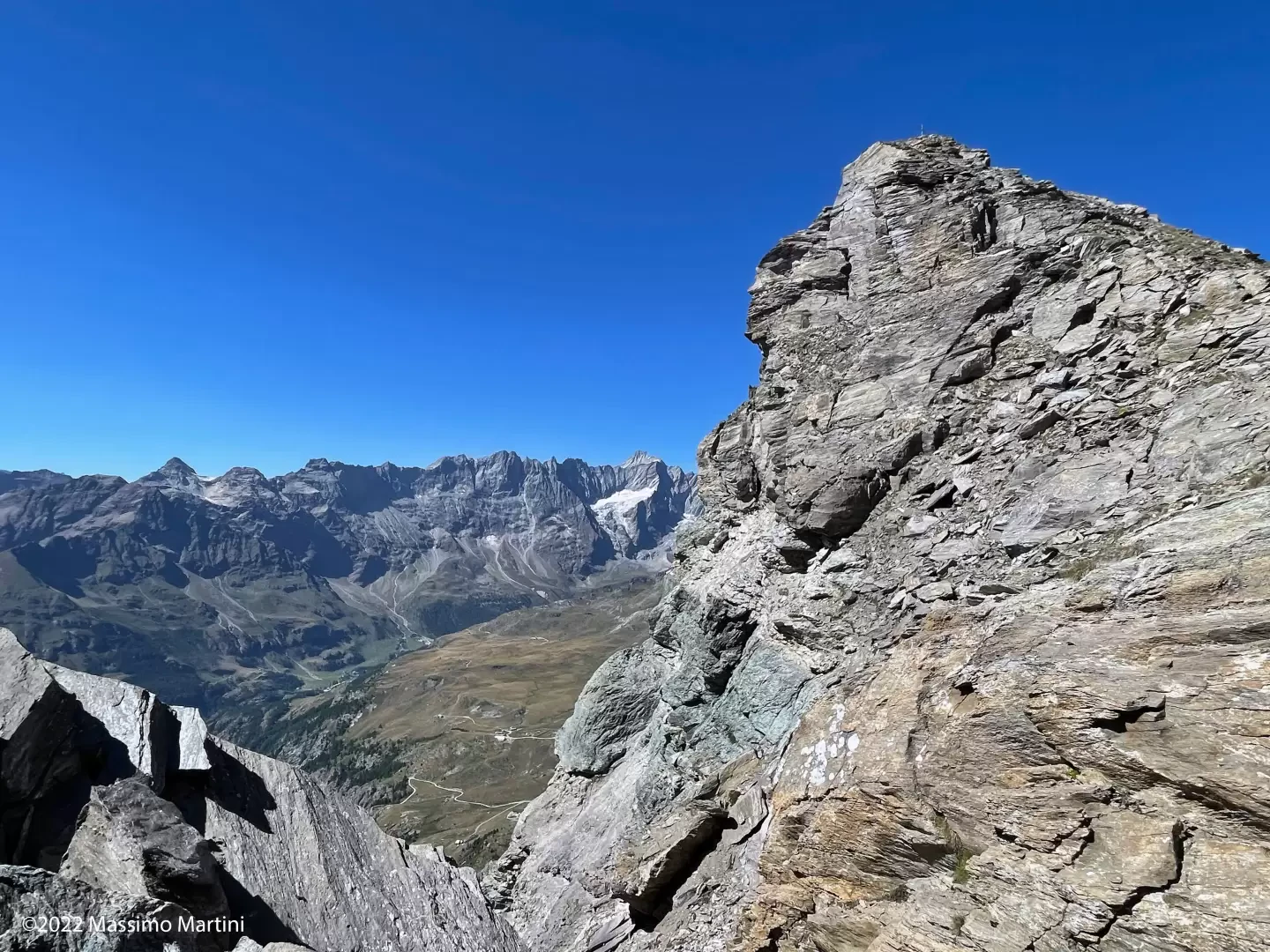
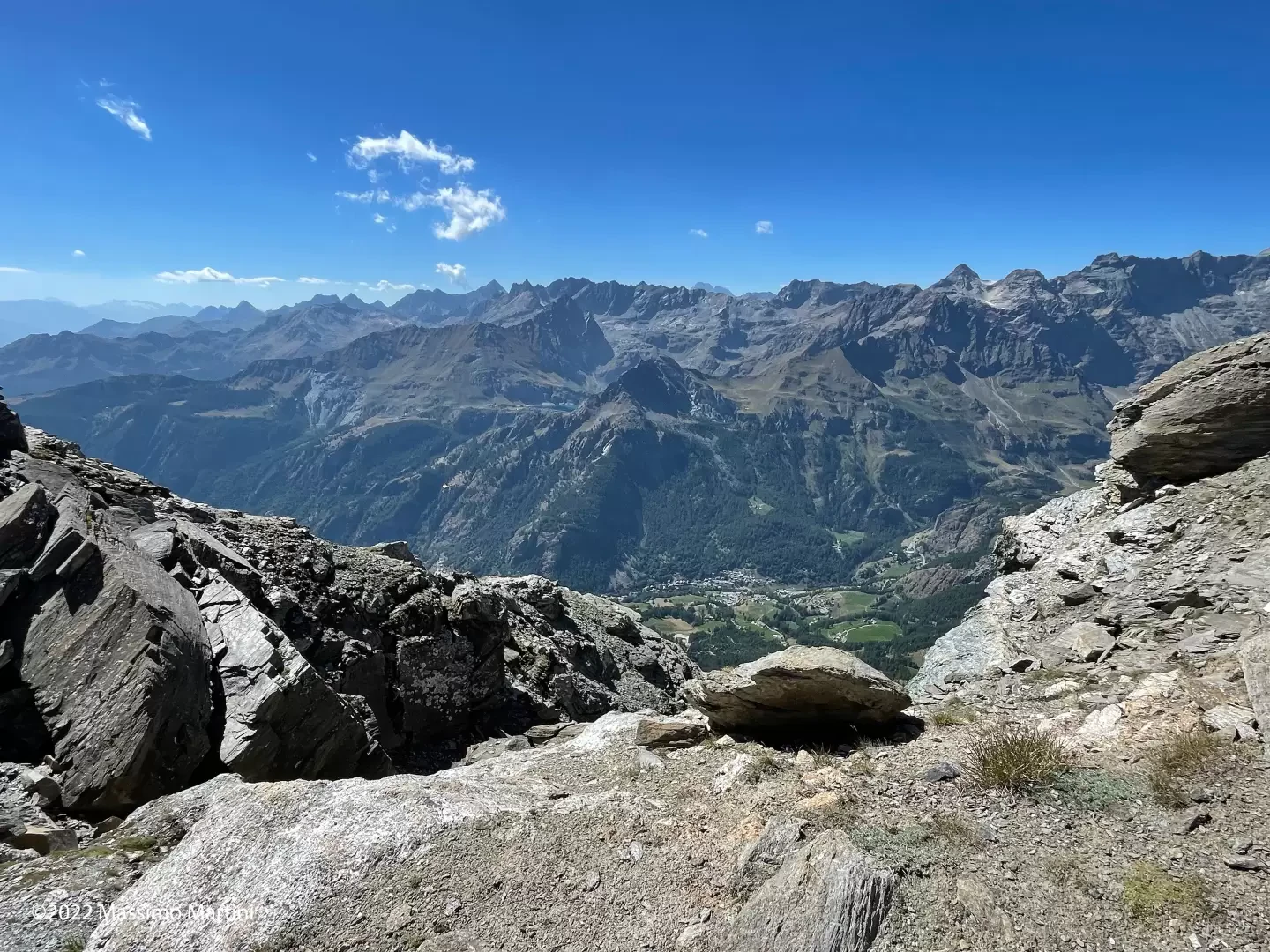
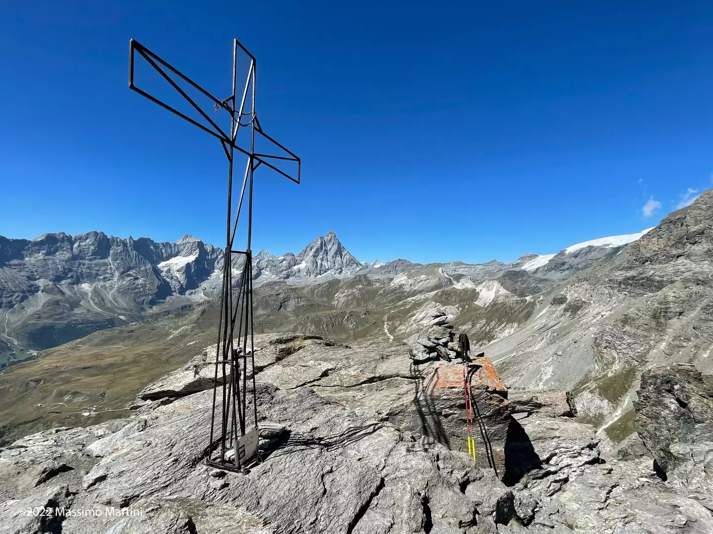
The view from the summit is truly impressive: in addition to the spectacular view of the Matterhorn and the Grandes Murailles range, you can enjoy a beautiful 360° panorama of the valley’s peaks.
Description
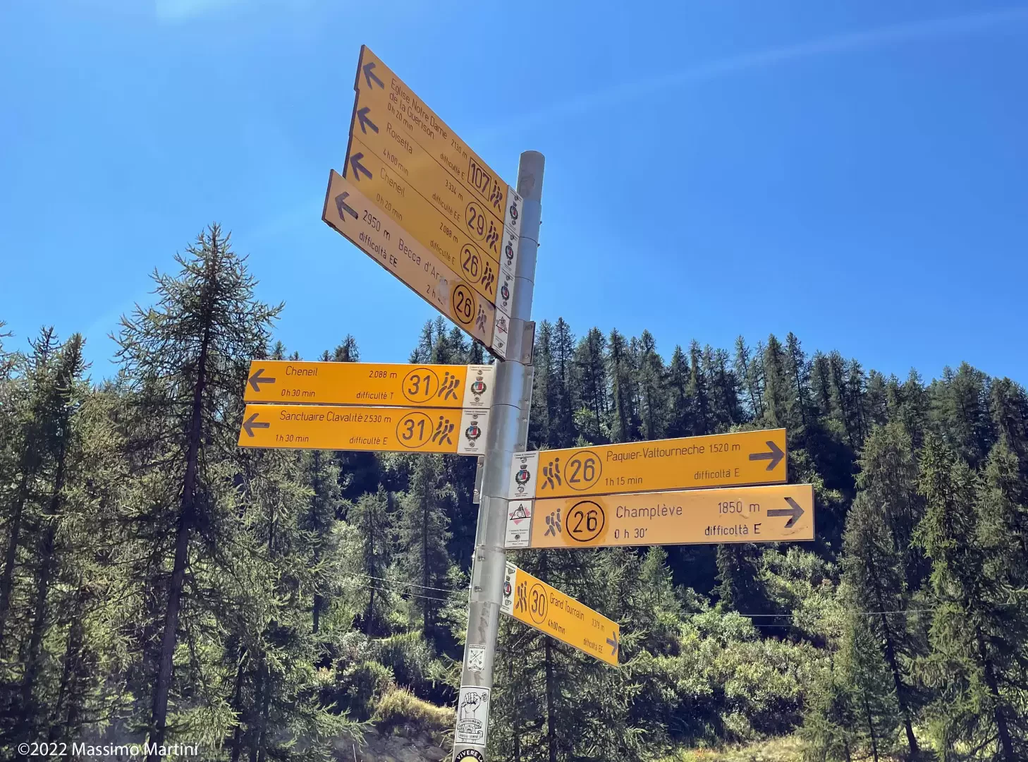
0h00'0.00km From the end of the car park, look out for a signpost indicating the main footpaths in the area. Turn left, following the signposts for trails
and
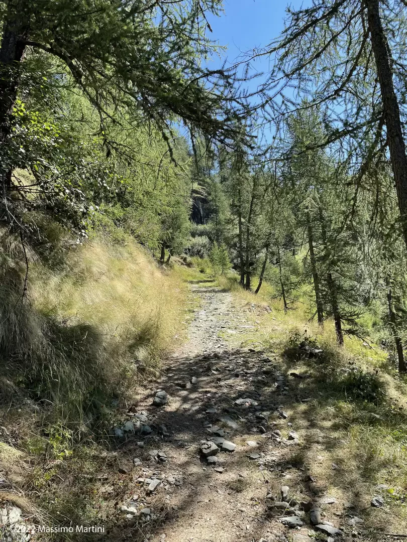
, and head up a steep farm track which, after a hairpin bend to the right, quickly enters a sparse larch forest (Larix decidua). In a few minutes you reach the top of the climb, where you briefly join the Gran Balconata del Cervino route 107km.
0h12'0.33km
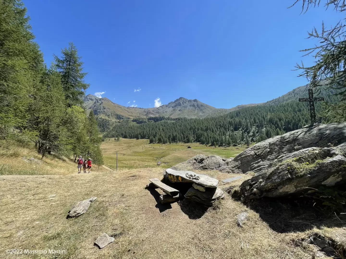
Once past a small panoramic saddle, a splendid view opens up over the village of Cheneil, nestled amongst the lush green pastures. From here, descend briefly along the path until you come to another signpost.
0h15'0.41km (67 m elevation gain)
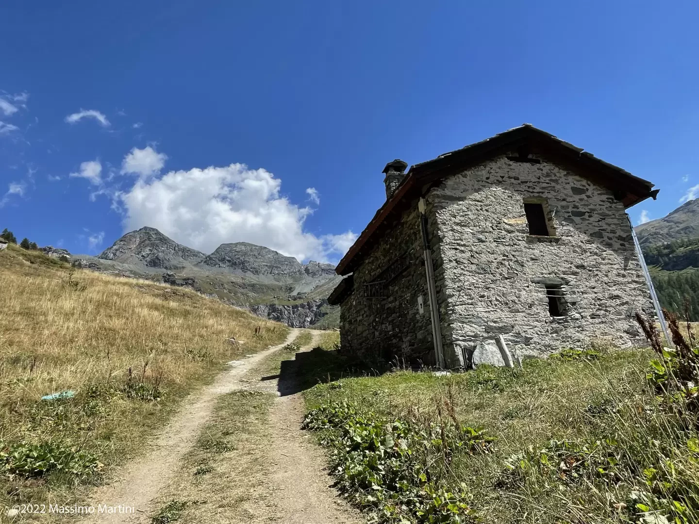
Ignore the signs for the village of Cheneil and continue along the farm track, which climbs gently. In a few minutes you’ll reach the Château mountain pastures (2,131 m).
0h20'0.72km
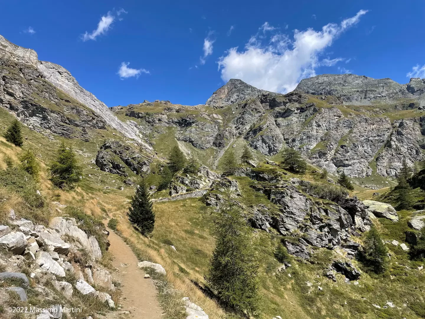
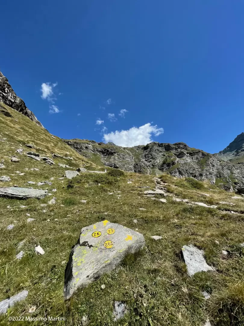
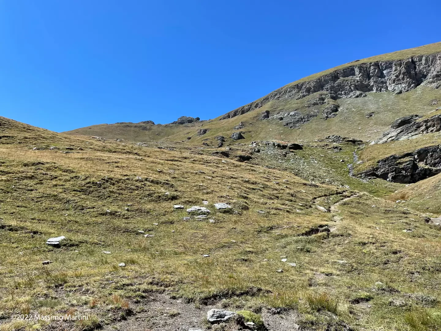
The narrow track becomes a single-track path and, following a long diagonal route halfway up the slope, crosses the bare southern flank of Mont Molar on a gentle ascent until it meets a beautiful dry-stone wall, towards which the path seems to be heading. Don’t be misled; carry on straight ahead, following the faint markings, into a small cirque surrounded by enormous boulders, beneath the southern rock faces of our destination. Ignore the path on the left leading to Mont Molar (2,490 m) and, shortly afterwards, you’ll reach another junction from which the link path (26A) branches off, leading back to Cheneil through the central pastures of the basin.
1h00'1.85km
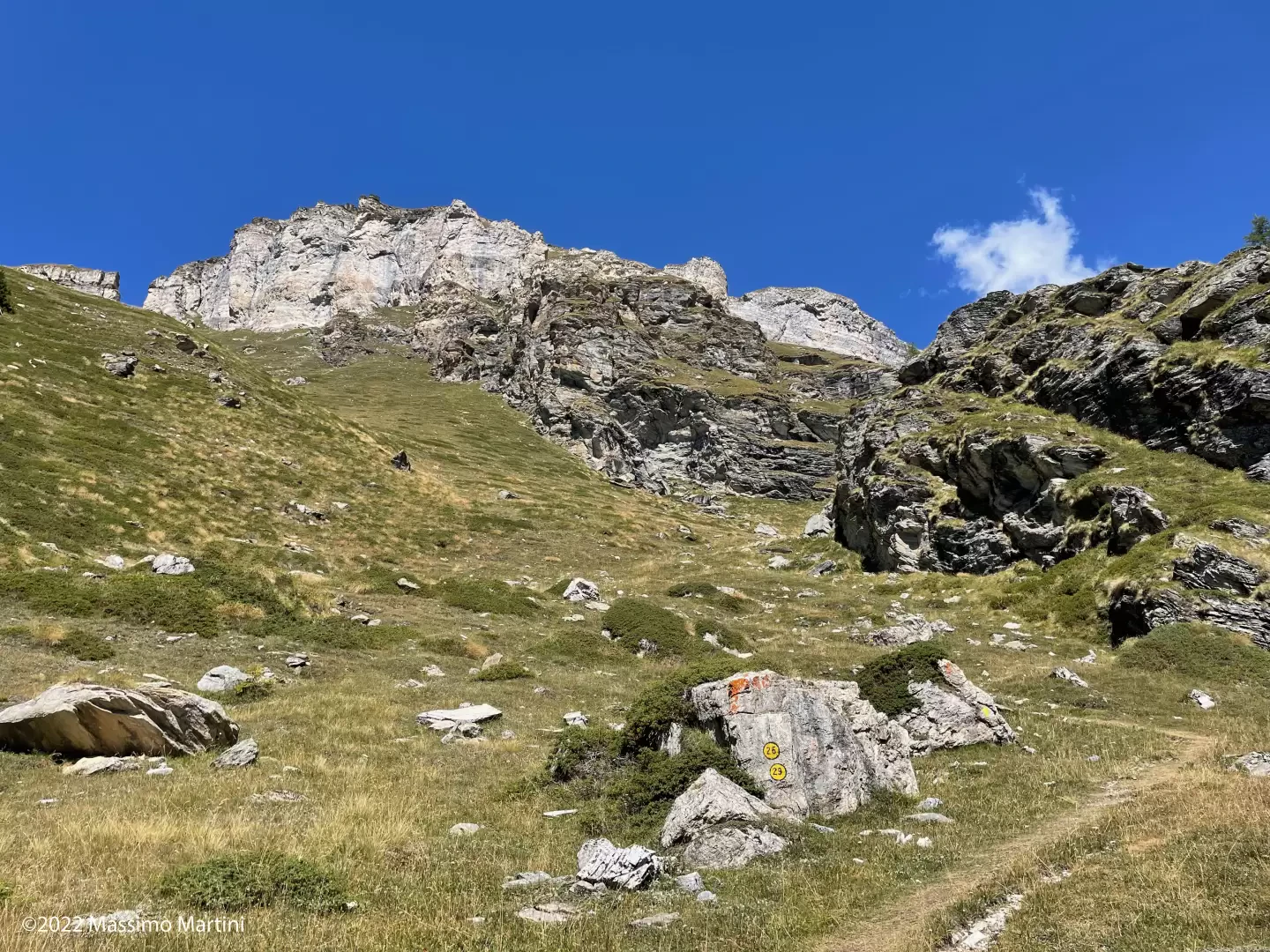
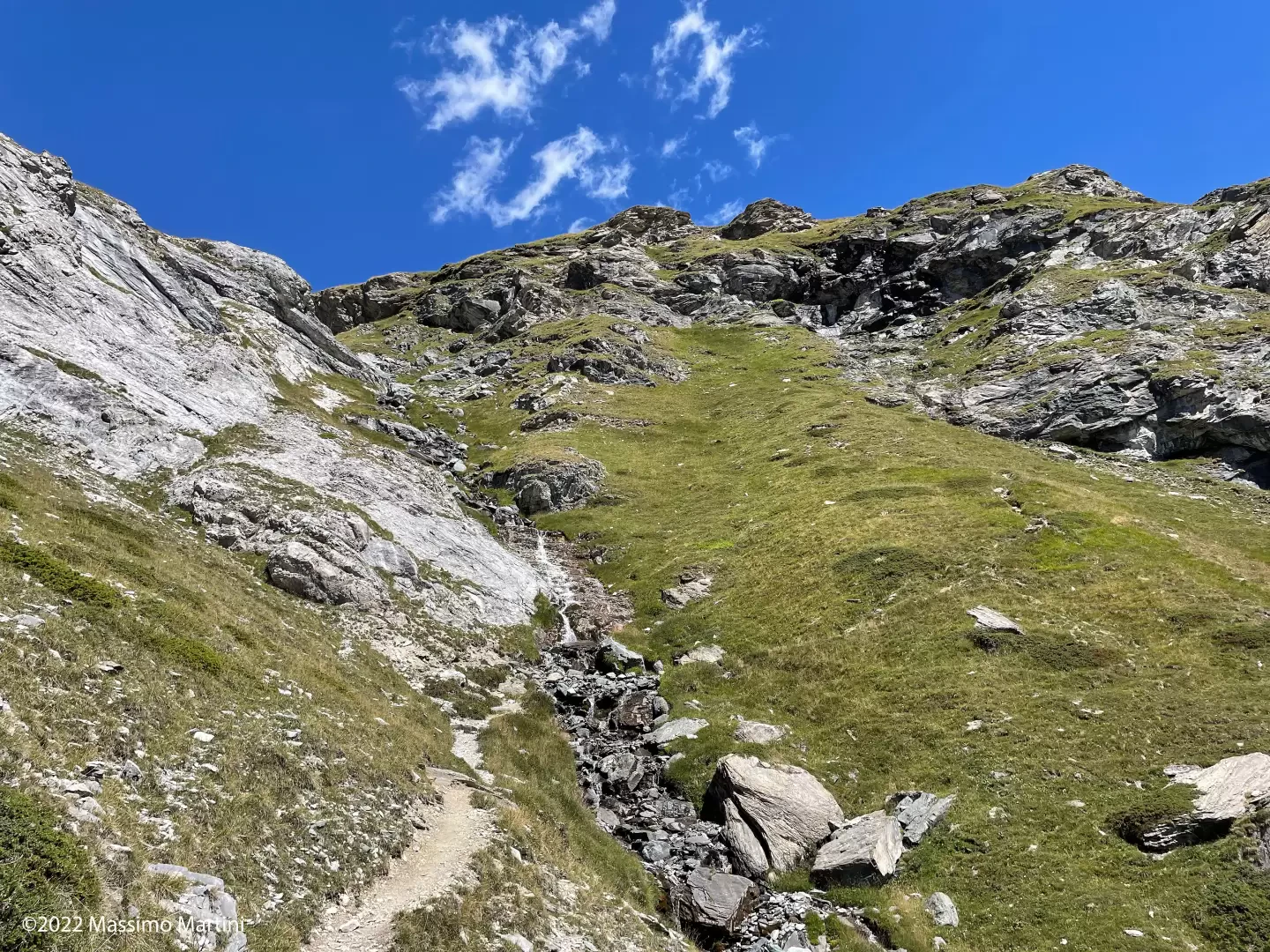
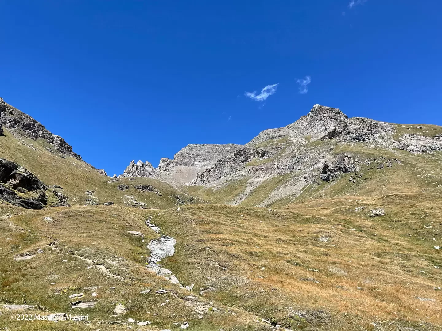
Continue straight on, heading for the Cheneil stream 💧, which flows vigorously through a small valley. Once you reach it, cross it via an easy ford and continue on the left-hand side of the watershed, proceeding up a very steep slope until you reach another fork.
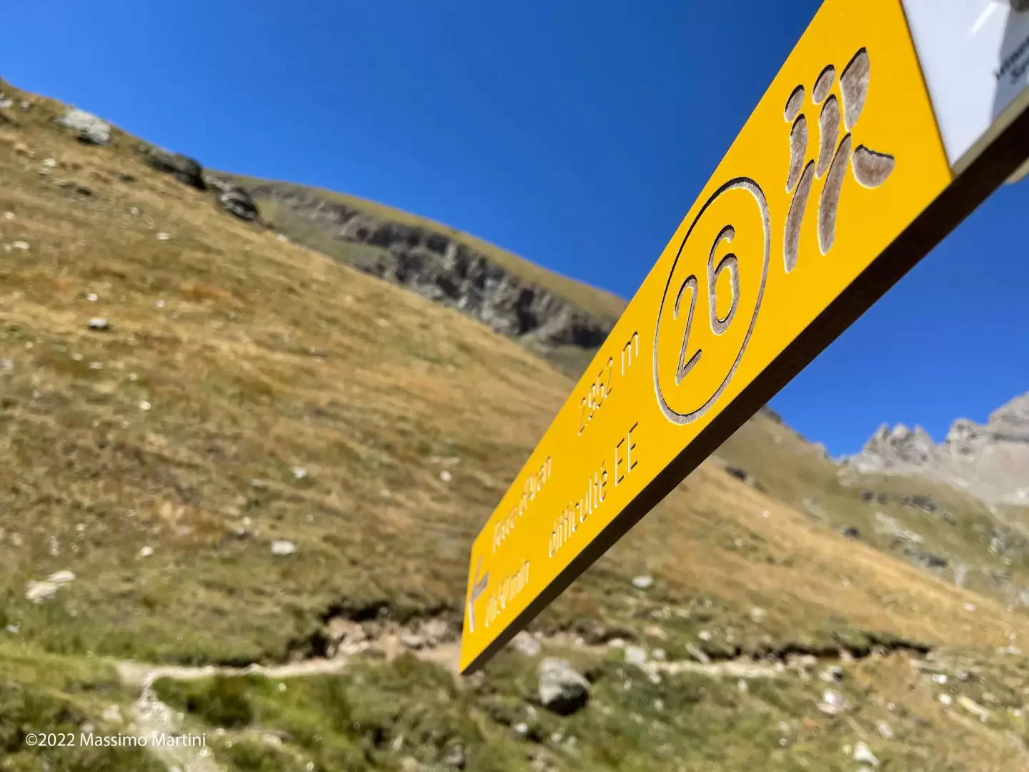
1h45' Always follow the signposts for paths
–
, ignoring path
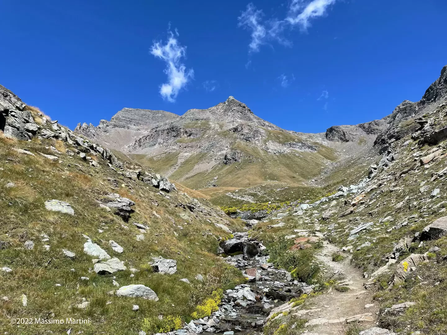
which branches off to the right, entering a small valley before joining a wide grassy basin where you’ll come to the final junction on the ascent route.
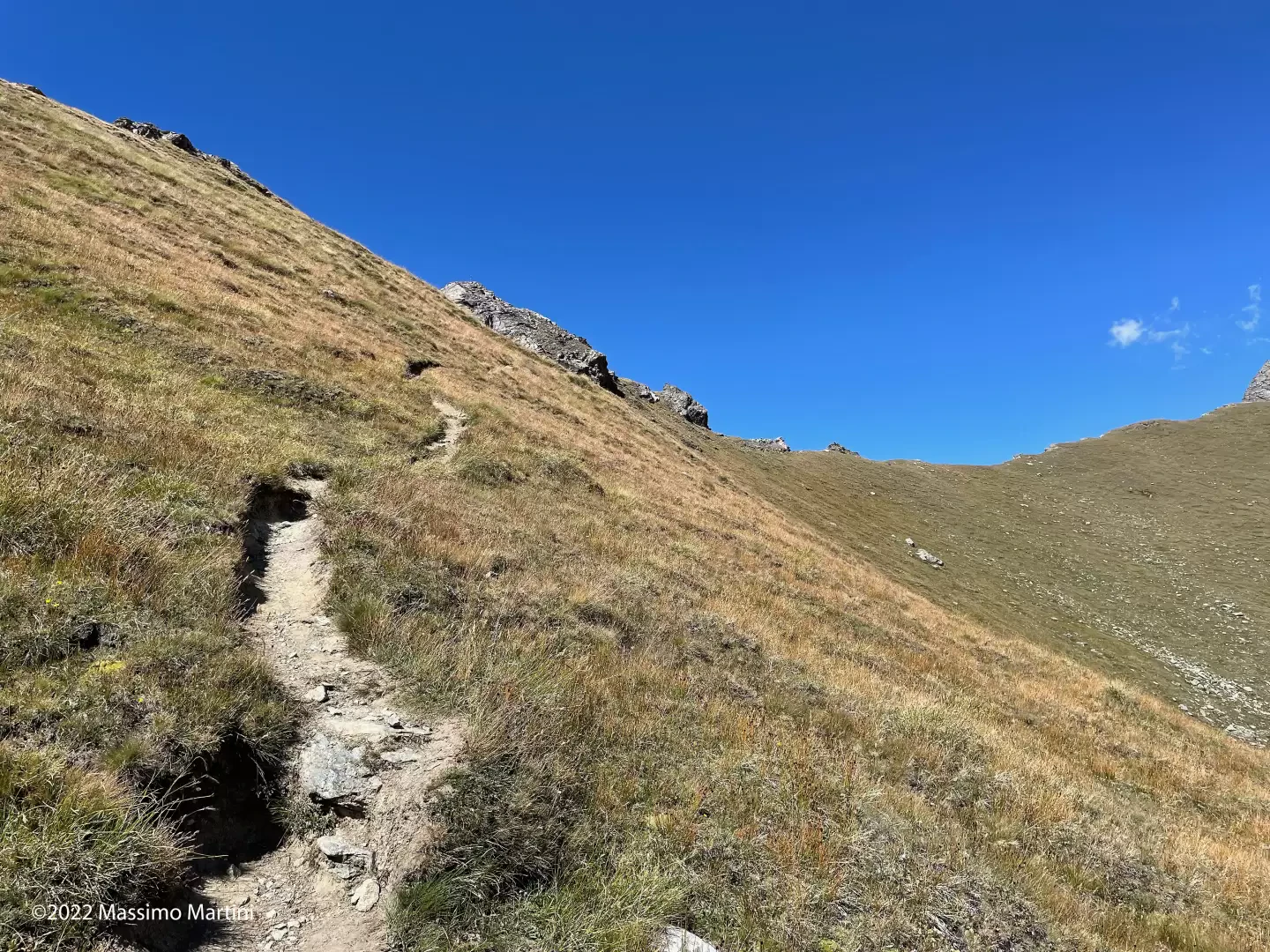
1h55' Turn left, now following a single-track path that heads into the left-hand side of the hollow, aiming towards the striking peaks of the Dents d'Aran. The path is not very steep in the first section and begins to climb more steeply after the first left-hand bend. You then ascend the grassy slope via a series of bends before continuing along a long, diagonal ascent halfway up the slope, which leads you close to the summit. Take a final hairpin bend to the right and, after just under 200 metres, you’ll reach a rocky saddle from which you can see the summit cross.
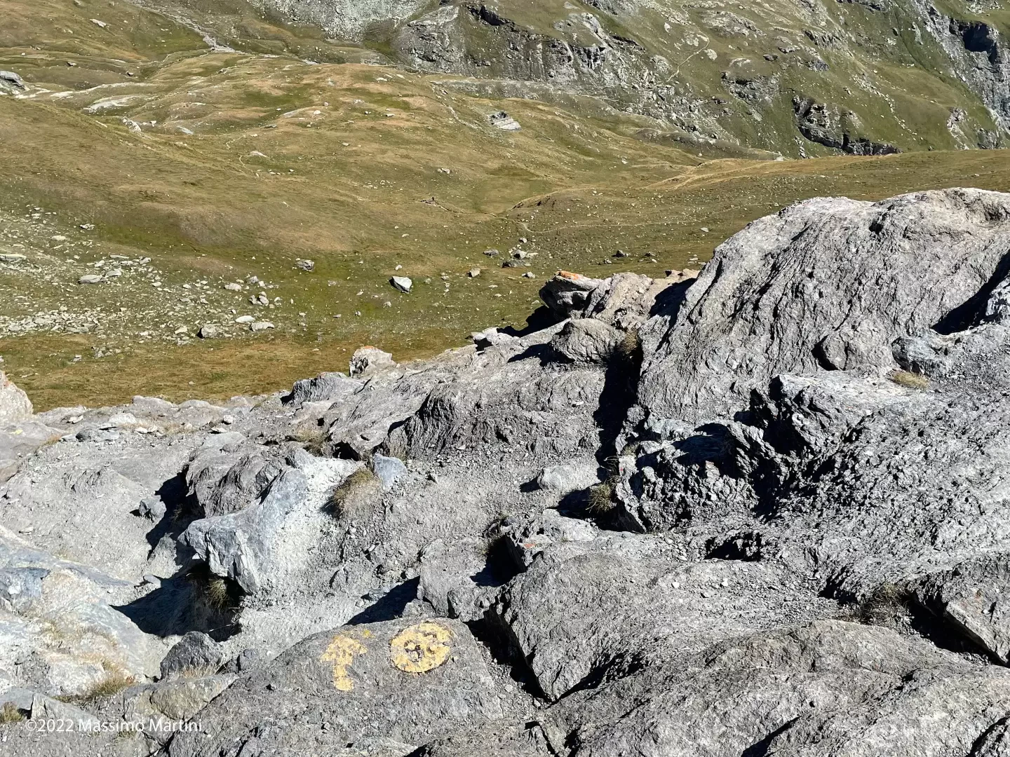
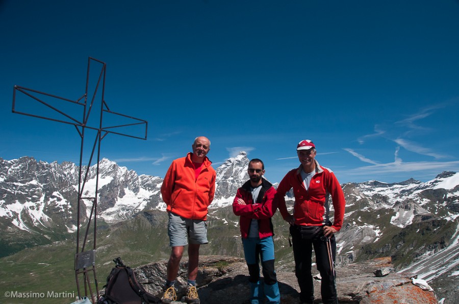
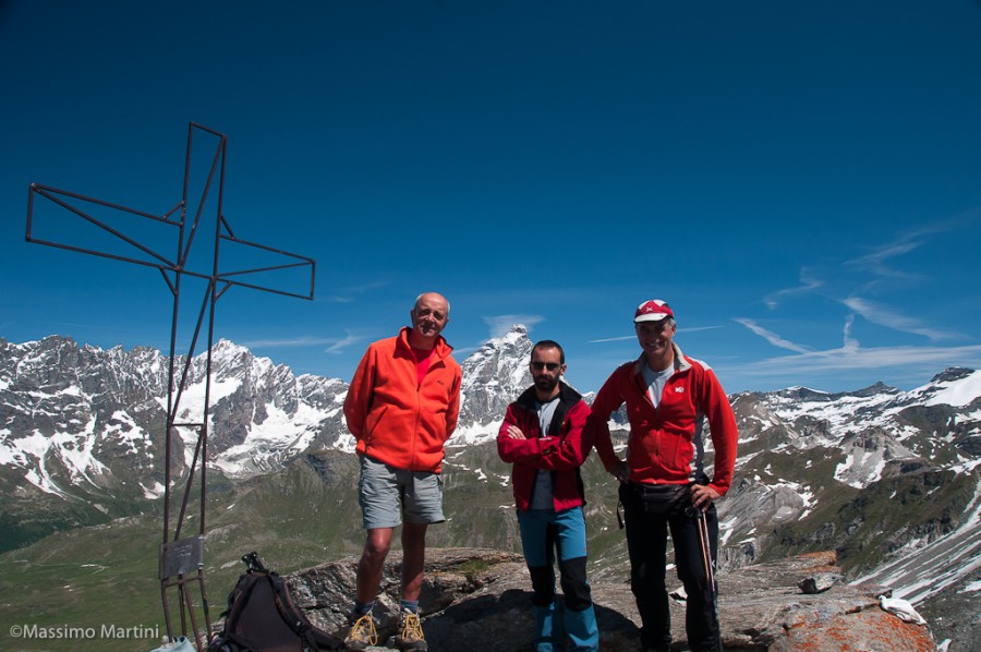
2h40' ⚠️ 〽️ From the saddle, continue northwards along a faint path that takes you round a rocky outcrop before tackling the final ascent. The path climbs the sloping face almost in a straight line, overcoming the elevation gain via steps interspersed with sections of path covered in slightly slippery scree. Once past the final section, you finally reach the summit of Becca d’Aran (2,952 m, 2h45' (922 m elevation gain) (10 m elevation loss)), crowned by a large metal cross. Occasionally, you may spot a rope party of mountaineers emerging from the vertical west face along the Carrel and Anita routes. The descent follows the same route taken on the ascent (1h45' ), taking due care on the first treacherous few metres of the descent.
Becca d'Aran Mont Molar, dal parcheggio di La Barma
Bella escursione sulle cime che coronano la Comba di Cheneil in compagnia di Mario e Danilo. Giornata di inizio estate con cielo terso e aria frizzantina. Attraversati alcuni nevai nel valloncello che anticipa il bivio tra Becca d'Aran e Roisetta. Avvistati stambecchi e marmotte.


Comments (0)
Sign in to leave a comment