Bec Raty, from the Lac Muffé car park


Edited by:
Giancarlo Beretta
Updated at: 05/03/2026
Access
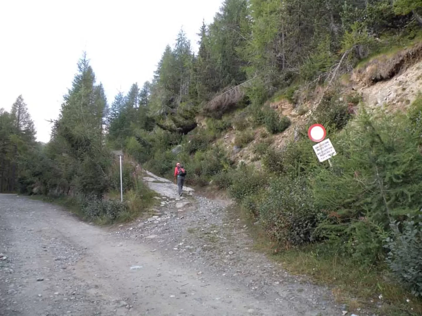
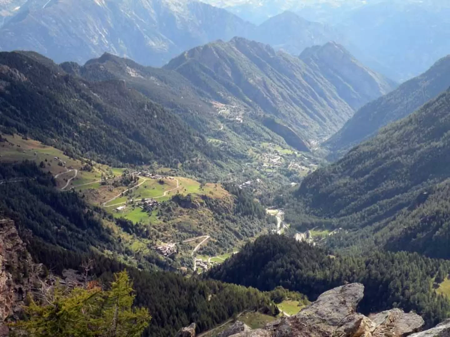
On the Turin-Aosta motorway, exit at the Pont-Saint-Martin tollgate and continue in the direction of Aosta. Having passed the town of Bard, turn left near a roundabout following the signs for Champorcher; once in the main town, turn right where the signs indicate the direction for Dondena and, climbing up numerous hairpin bends, you arrive near the tourist signs for the Mont Avic Park. Here the road becomes unpaved and uneven and continues for a few kilometres to an altitude of 1885m.
.Introduction
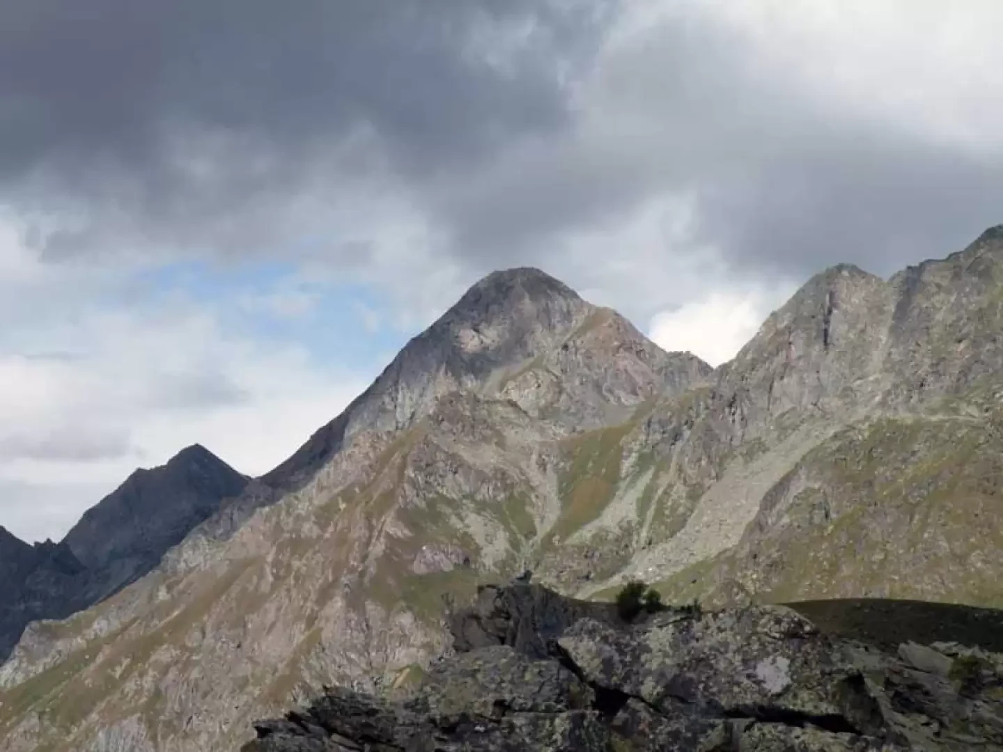
This hike can be done even if you have half a day free and allows you to reach a peak with a beautiful view of the peaks of the Champorcher valley: in fact, Bec Raty is the southernmost point of the long ridge that descends southwards from Gran Rossa and is located on the hydrographic left of the valley. To the south it has a high, vertical rock face, on whose evident edge the popular 'via delle poiane' (buzzards' route) climbs, while to the north there is a slope of low vegetation and broken rocks leading to the summit. The route is well traced up to the crossing of the stream at an altitude of 2180m, while further on we pass the best places to climb the rocks: it is however more comfortable to climb these than the steep grassy slopes with low bushes.
.Description
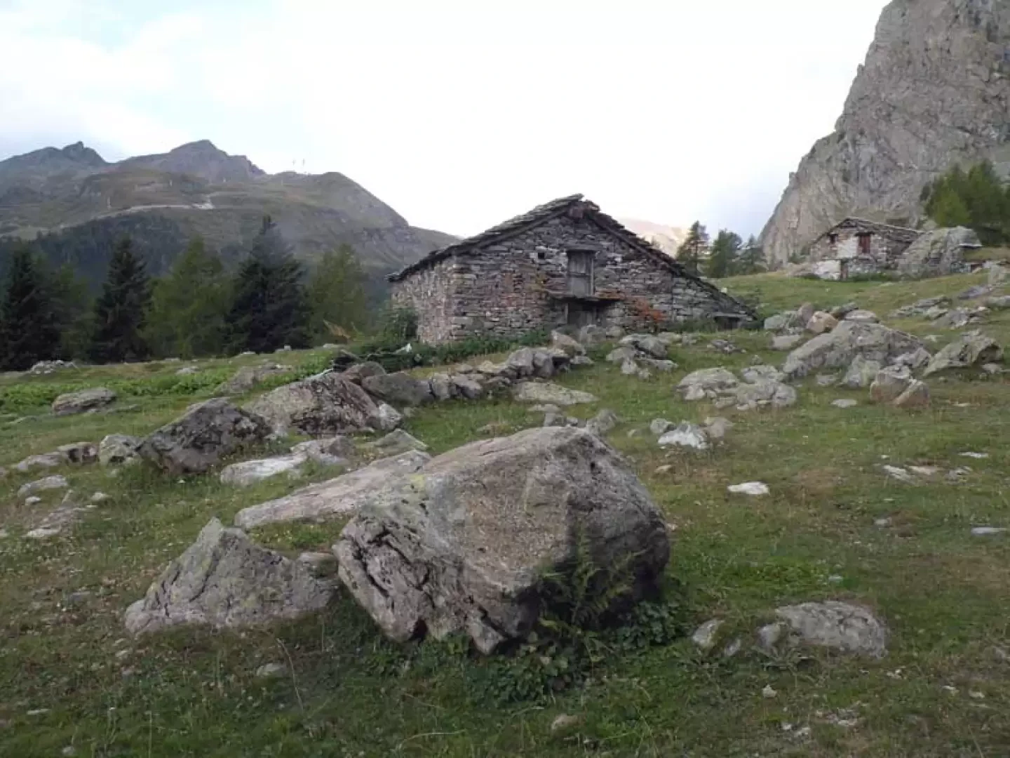
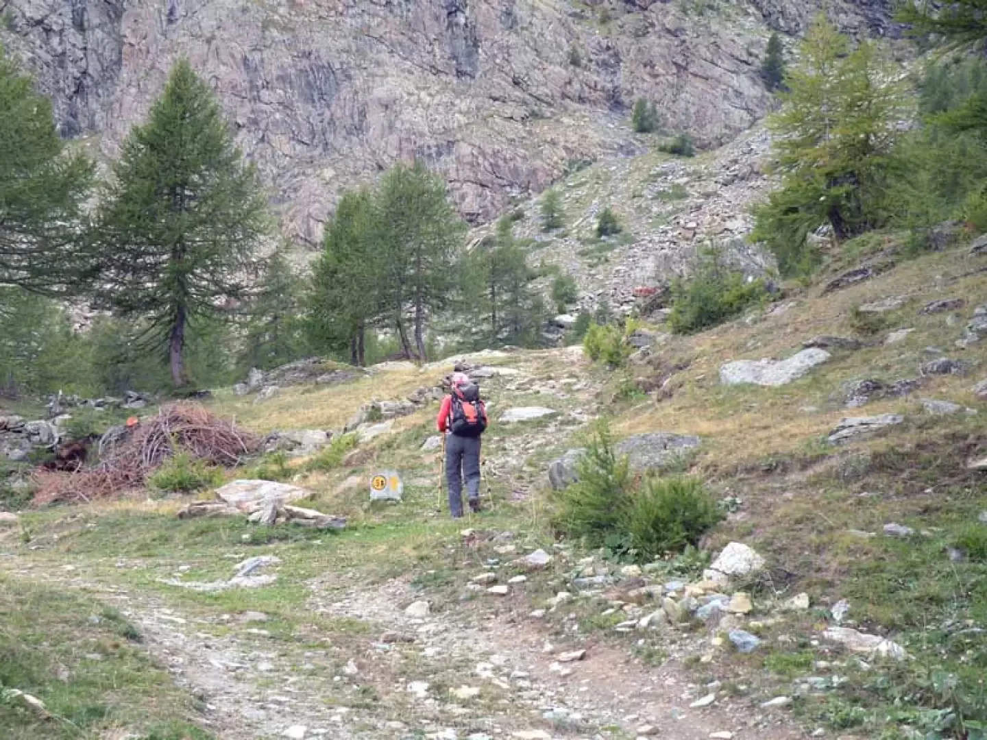
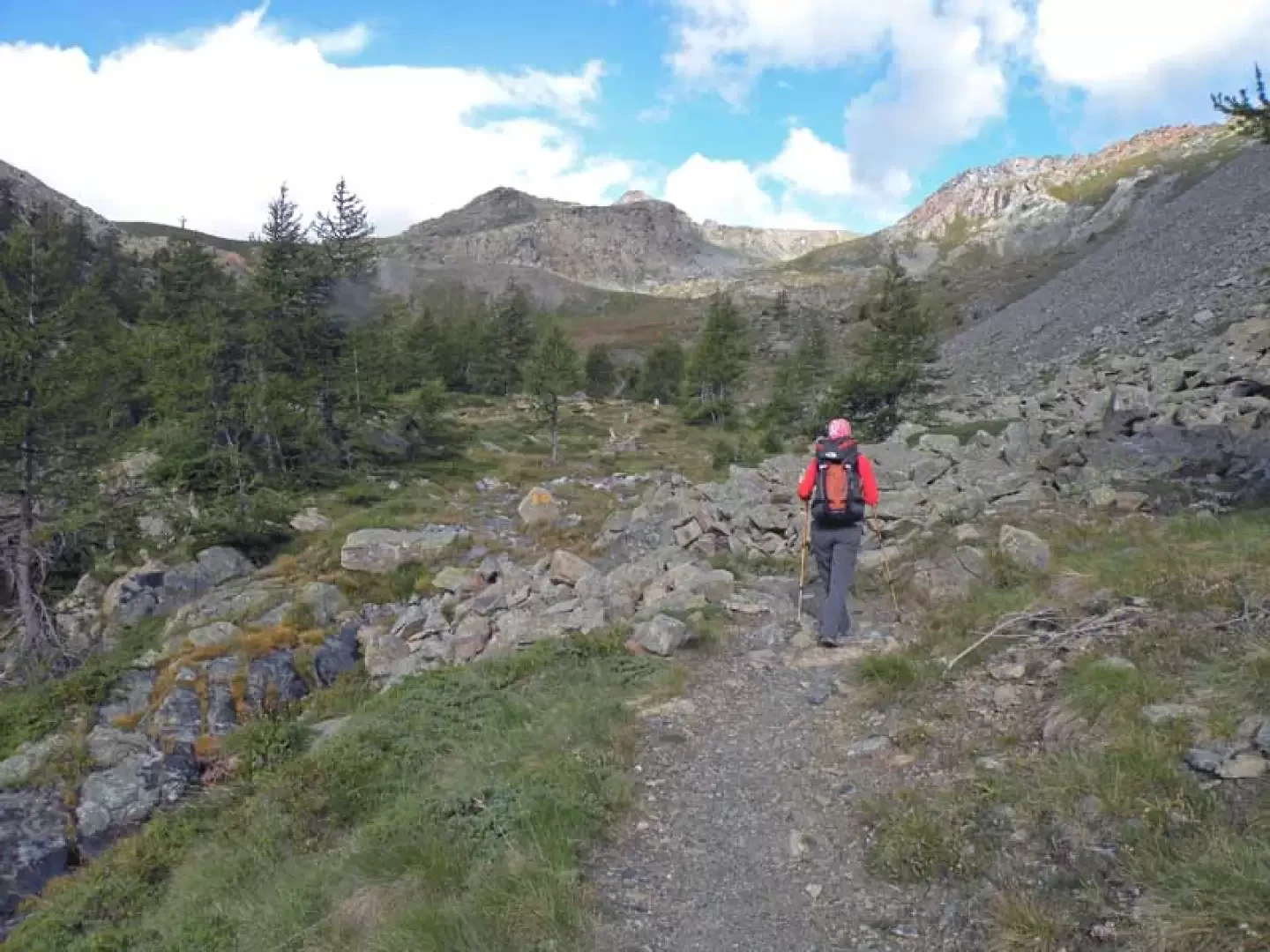
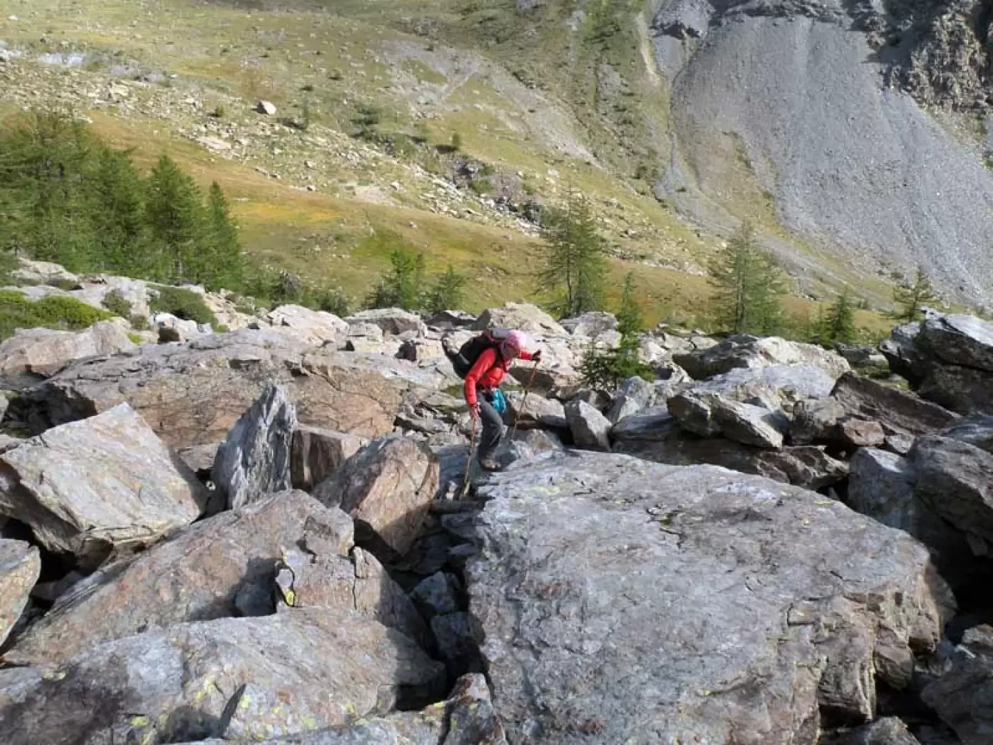
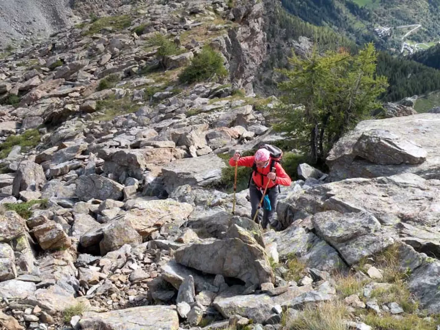
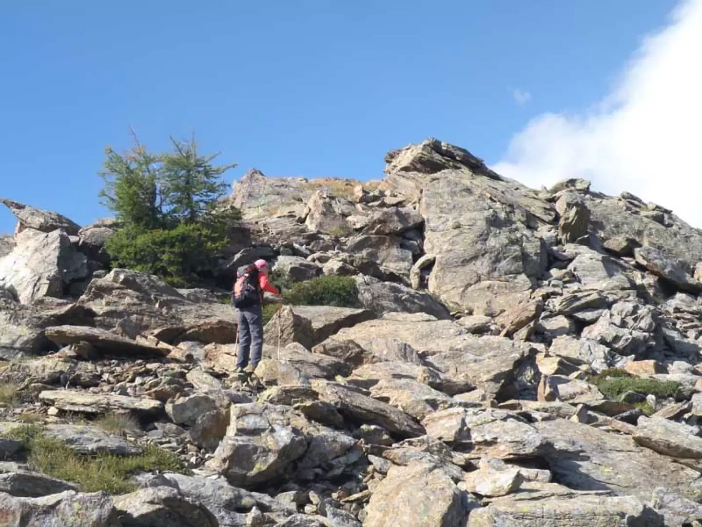
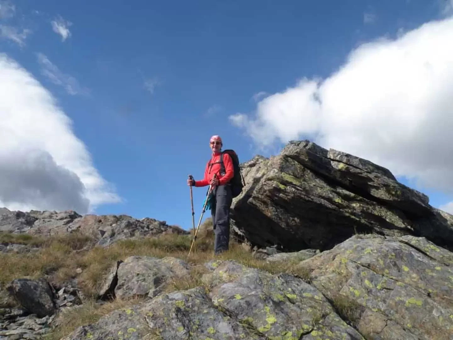
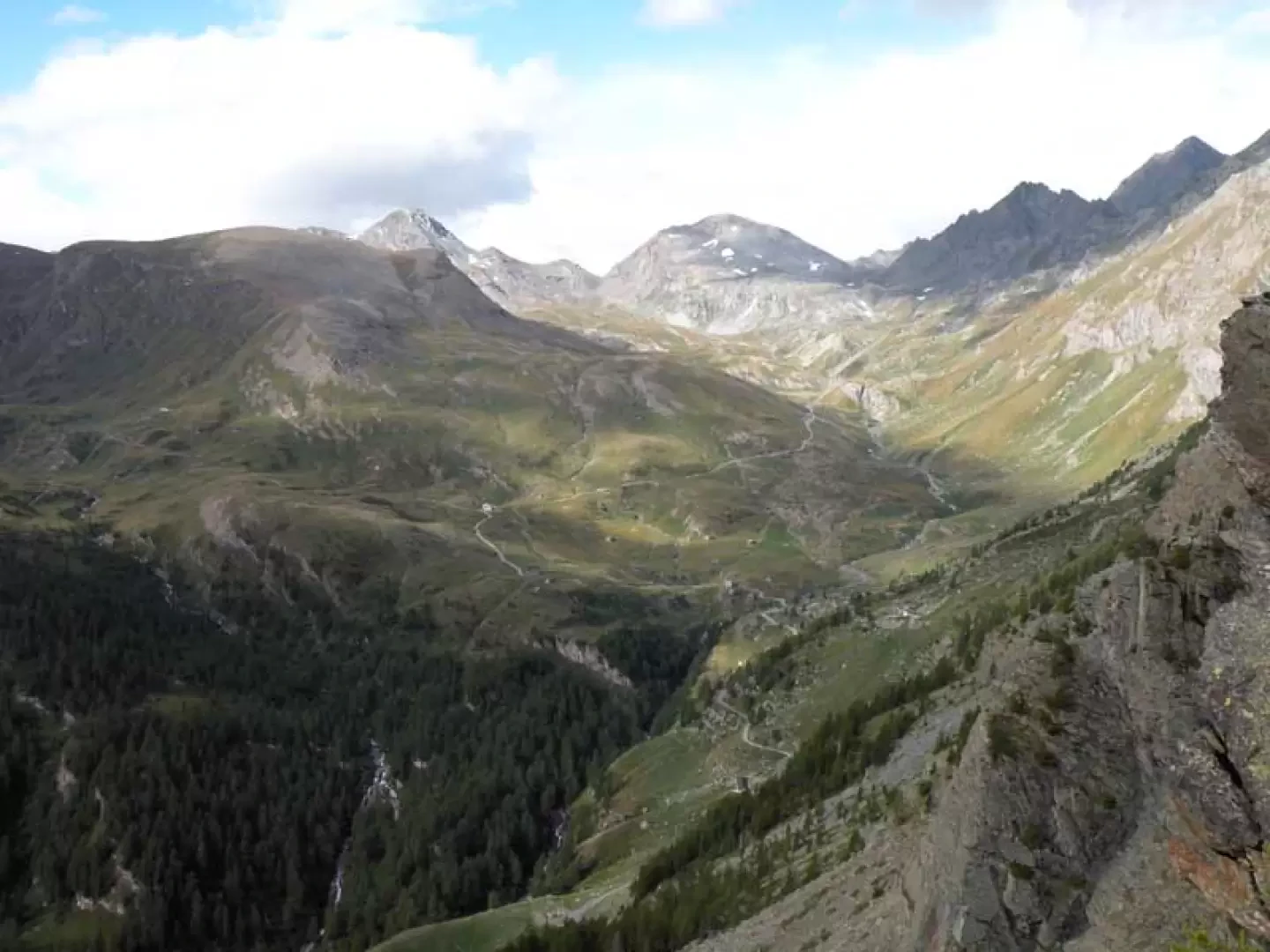
At an altitude of 1885m, take a dirt road on the right with a no-trespassing sign at the beginning and climb up a gentle slope, with the destination of the hike already clearly visible in front of you. You pass the Chapy huts (1948m) and almost immediately leave the road at a crossroads, which is well signposted by a yellow marker on a stone (1972m); the path moves under the slopes of Bec Barmasse and, as the slope increases a little, climbs them with a few hairpin bends to reach a small valley with gentle grassy undulations. Continuing along the path and arriving at an altitude of around 2180m, descend a little near some piles of stones to cross the stream and, having the mainly rocky slope in front of you, begin the ascent to the summit. At first, climb up between low bushes, trying to spot some old stone cairns visible on the higher rocks and, standing a little to the left of the summit's vertical, reach them on terrain that is now mainly of medium-large boulders. Climb up the scree, which becomes a little steep in places, to reach the crest, where it is advisable to move to the right, walking through grass and stones, aiming for the evident large stone situated on the summit, which can be reached after a final climb up the last rocks.
General Information
Trail signposts: (9A) and s. n.
Type of route: a/r
Recommended period: June, July, August, September
Objective hazard:moving stones on the stony ground
Exposure to sunshine: north
Photo gallery
Comments (0)
Sign in to leave a comment