Aveuil, from Visey-Dessus

Edited by:
Massimo Martini
Updated at: 01/09/2026
Access
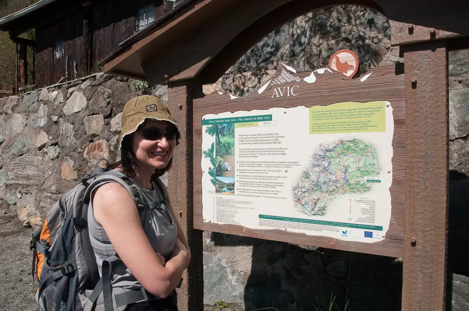
Leave the motorway at the Verrès exit and join the towards Turin. Drive past the village of Verrès and, after about 1.5 kilometres, take the first exit on the right at the second roundabout, following the signs for Issogne. Cross the River Dora Baltea and drive up the local road leading to the famous Issogne Castle. Continue for a further 2.3 kilometres and, at a fork in the road, keep to the right. Follow the narrow village streets until you leave the built-up area behind. At a four-way junction, turn left and take the local road that winds its way up towards the hamlet of Visey. Continue along the narrow, winding road that climbs the wooded slope overlooking the village. After about 11 kilometres, enter the Brenve valley basin and tackle the final, south-facing stretch until you reach Visey-Dessous. From here, it is a short distance to Visey-Dessus, where there is a large open area for parking, next to the information boards for the Mont Avic Nature Park. Near the car park, a few metres further down, there is a fountain 💧 where you can top up your water supplies.
Distance and walking time
🕒 Walking time: 30 minutes
📏 Distance: 12.6 kilometres
GPS navigation
📍 How to get there using Google Maps
📍 How to get there with Apple Maps
Important note
The directions provided were verified on the date the route was mapped. Before setting off, it is advisable to check for any changes to the route. For up-to-date and detailed directions, we recommend using Google Maps or Apple Maps.
Introduction
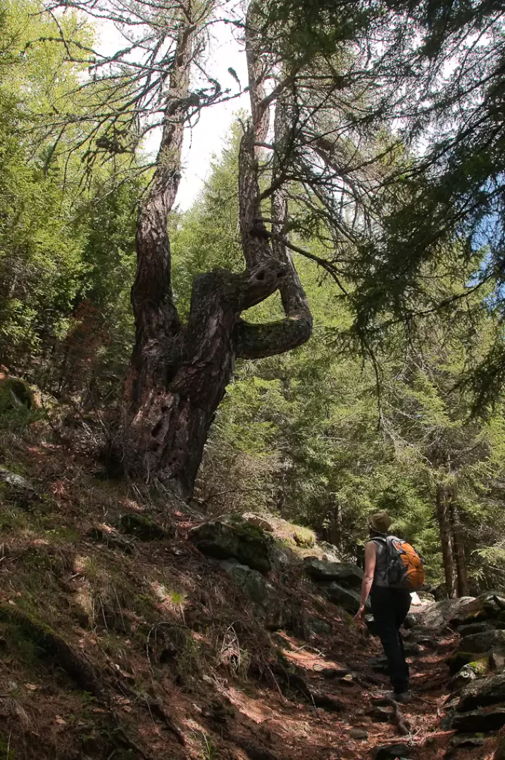
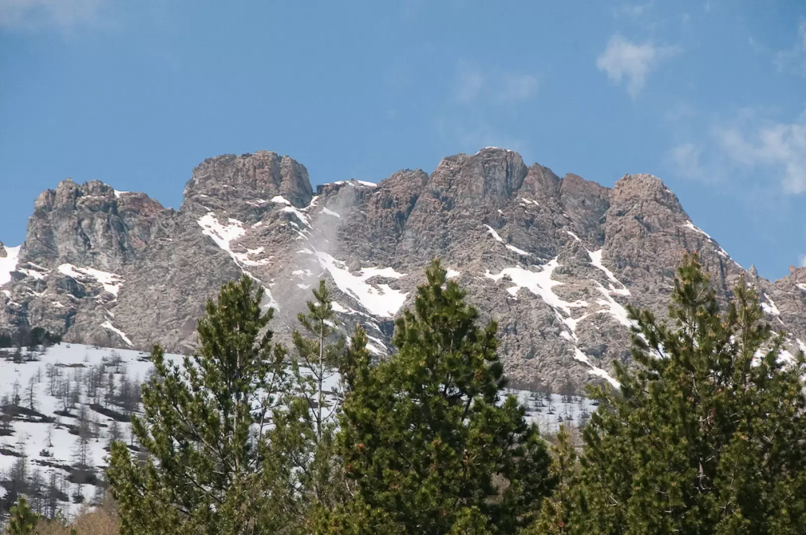
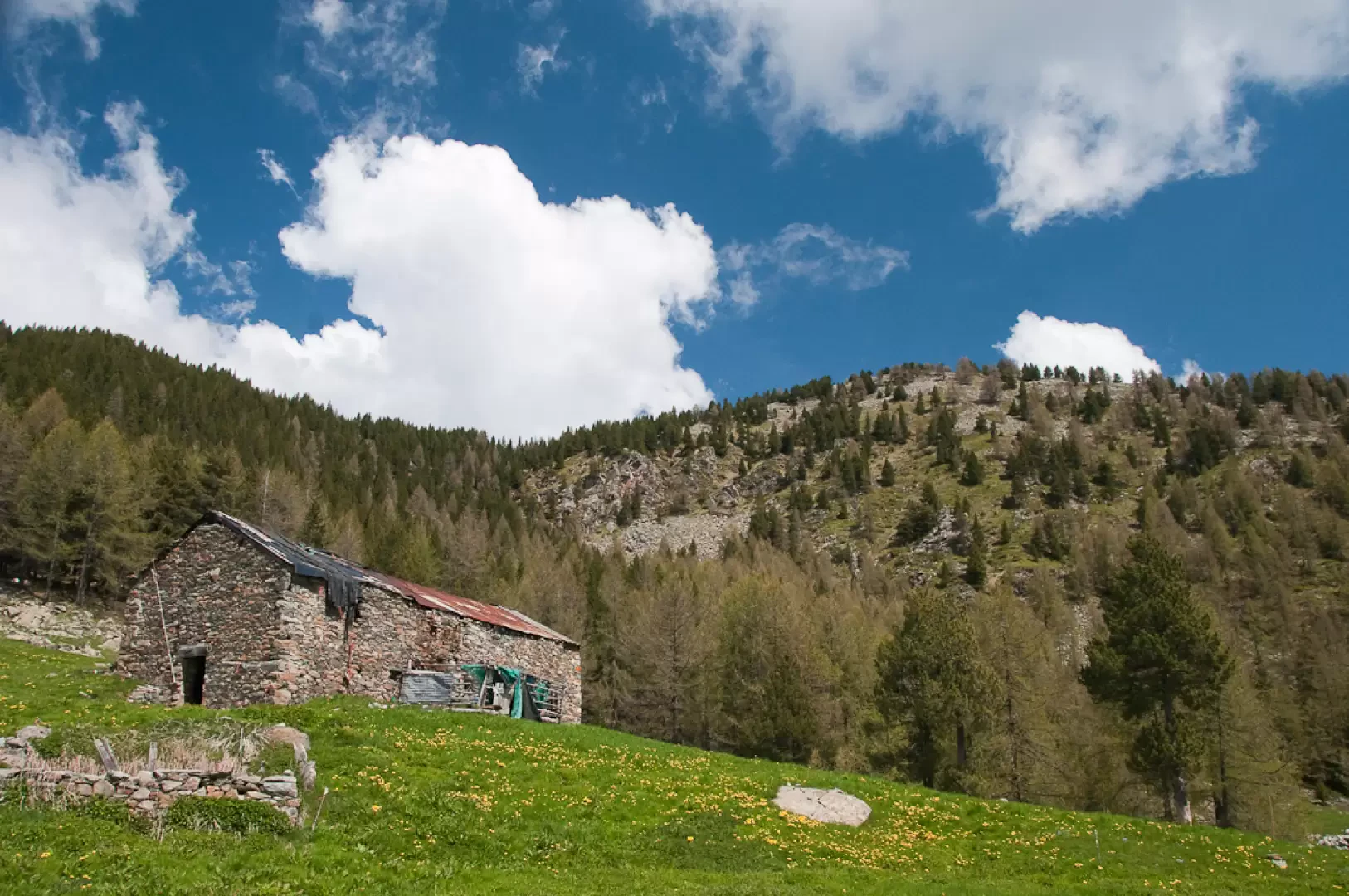
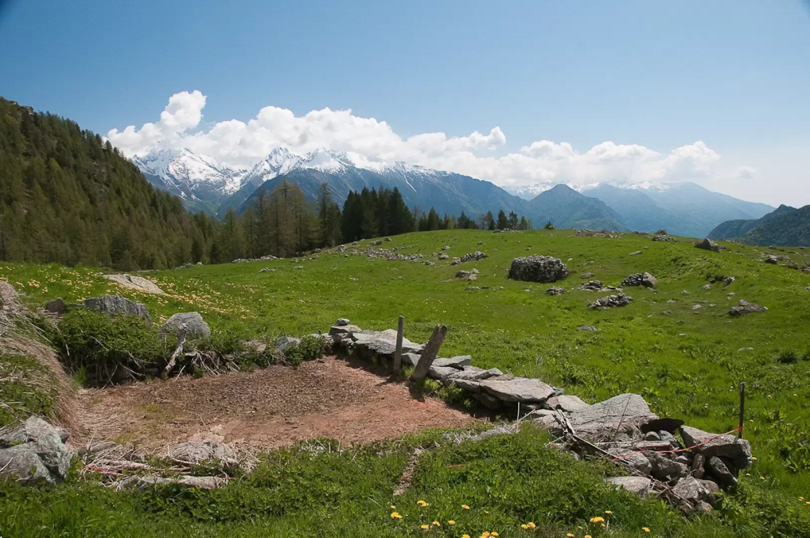
Ascent to Alpe Aveuil from Visey-Dessus, a hamlet in the municipality of Issogne in the lower Aosta Valley, returning via the same path, on the edge of the Mont Avic Nature Park. The route climbs the south-east-facing slope through a woodland dominated by larch trees, where you’ll come across a centuries-old specimen, its shape sculpted by the passage of time, before reaching the open pasture leading up to the mountain pasture. From Alpe Aveuil (1,717 m), the view opens out over the lower Aosta Valley and the ridge that stretches from Col Courtil to Colle Terra Rossa, the natural watershed with the Champorcher Valley.
The sunny aspect and moderate altitude mean this route can be enjoyed from late spring through to autumn. Difficulty: T2, with a moderate elevation gain and regular signposting along the route.
Description
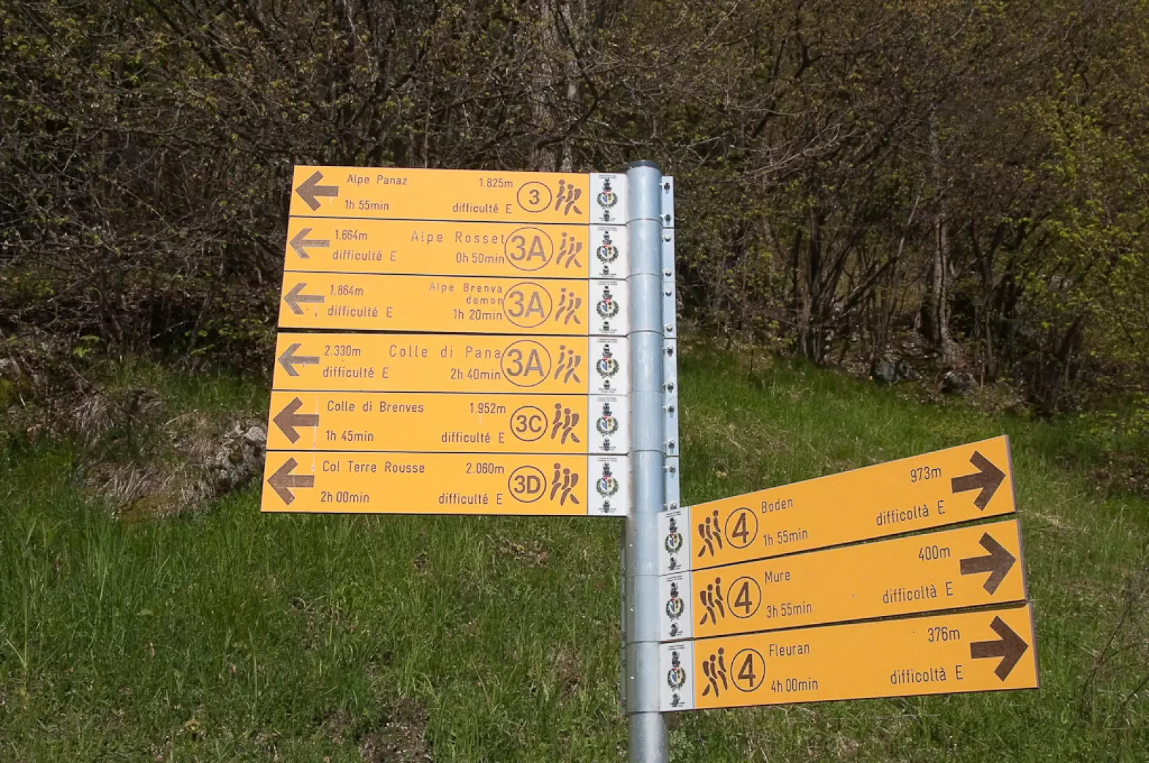
0h00' 0.00km Leave the car park and head towards the western end of the village, where a small farm track begins. Walk briefly up the track until you reach a signpost.
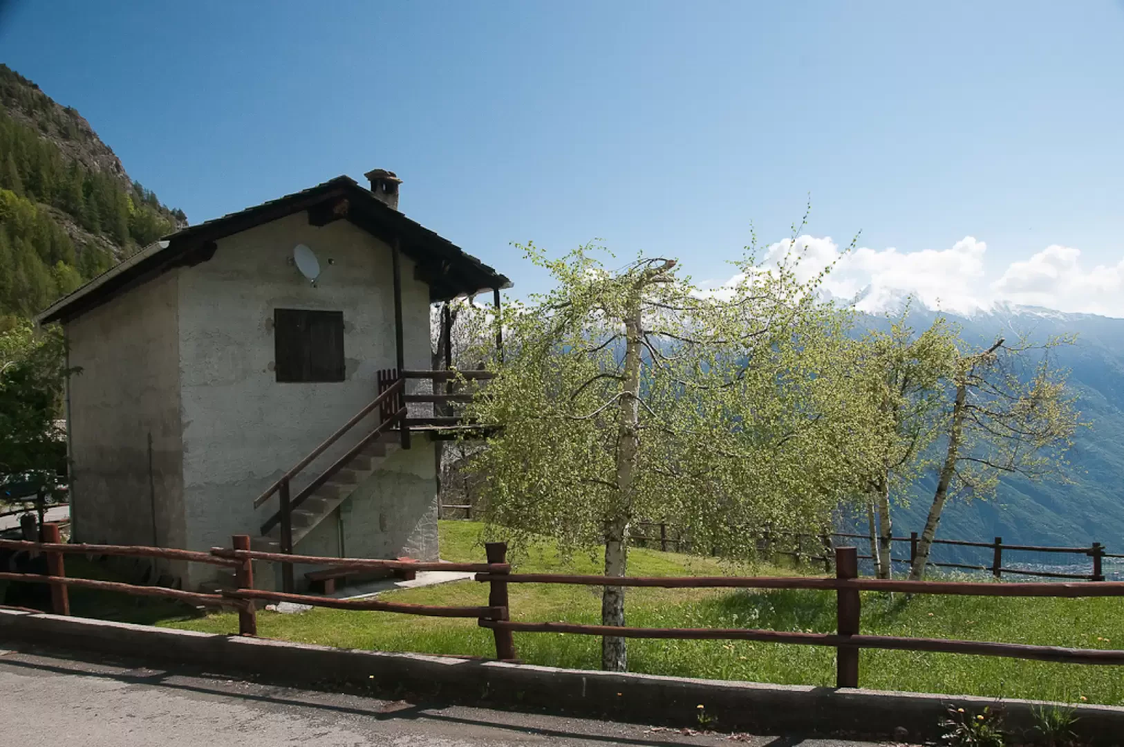
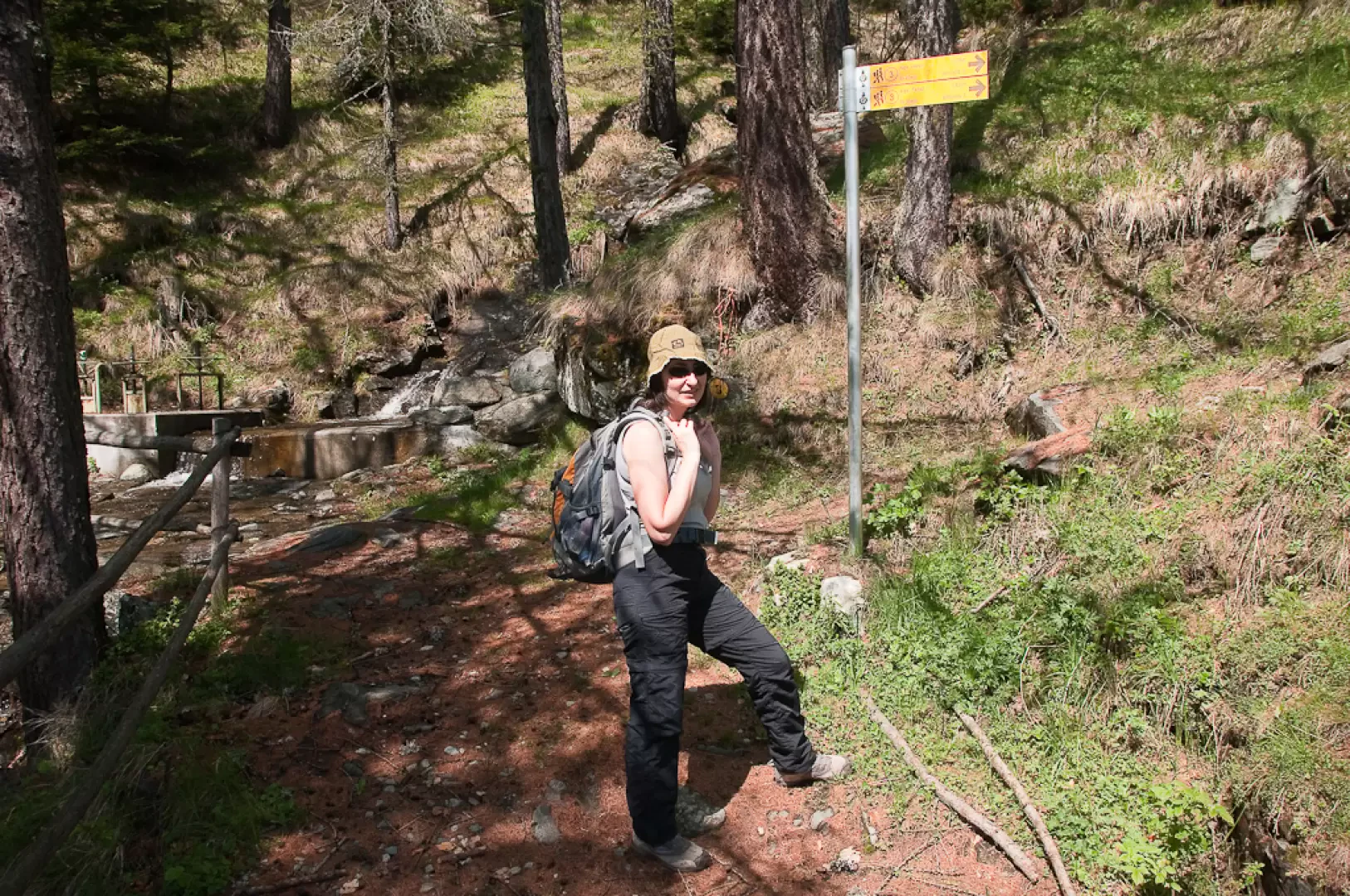
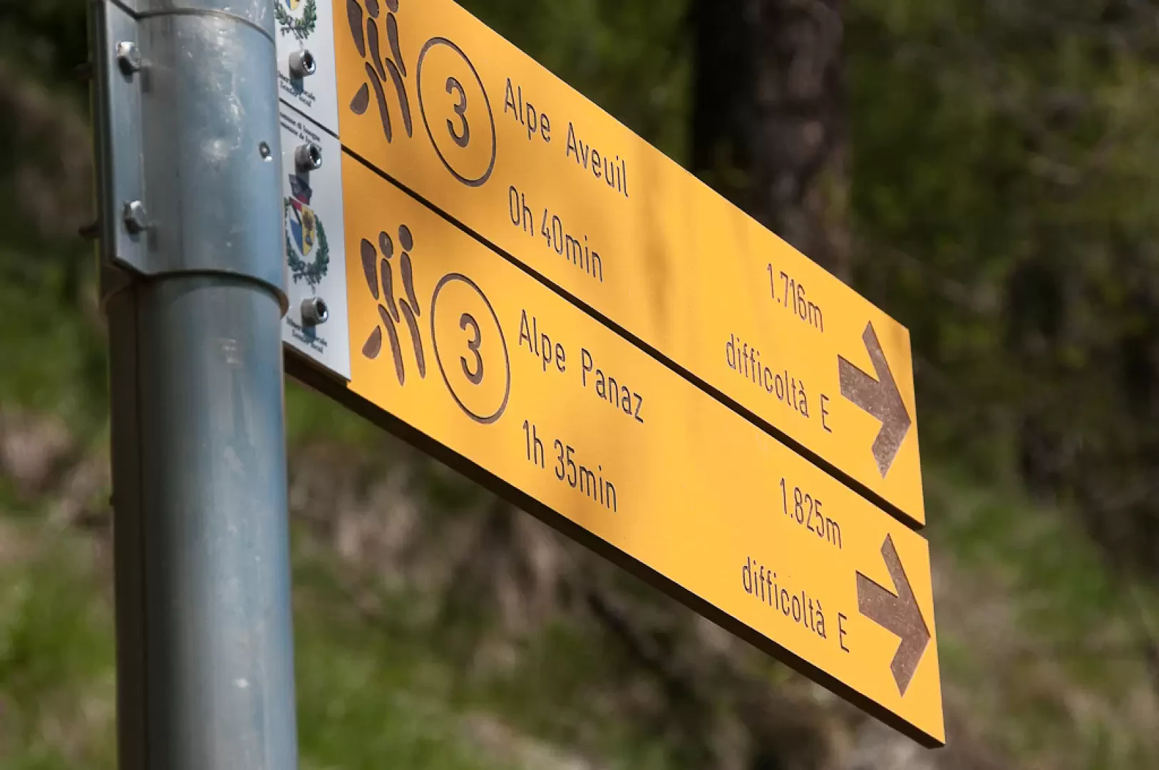
0h00' 0.21km Turn right, following the signs for Follow the path on the right, which leads to Alpe di Panaz, leaving behind the last farmhouses of Visey-dessus. Initially, follow a wide mule track which immediately begins to climb at a moderate gradient towards the west. After passing a waterworks building, you’ll reach a junction with a signpost (1500m).
0h15' Turn right, ignoring the wide mule track that continues straight on towards Les Brenves. Take path
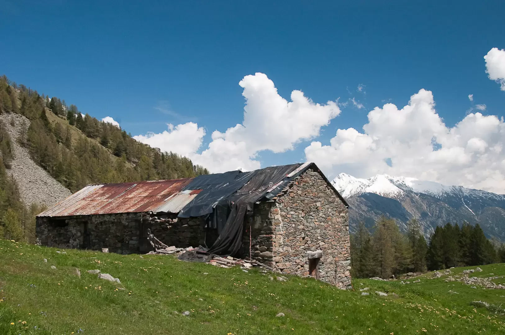
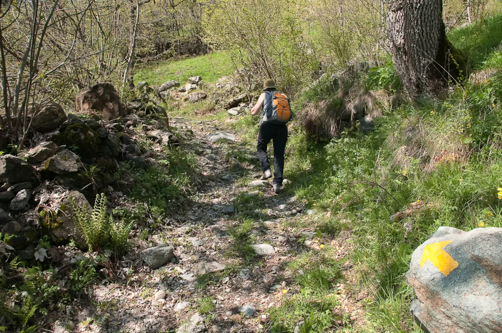
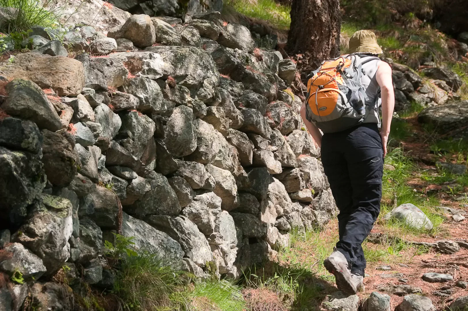
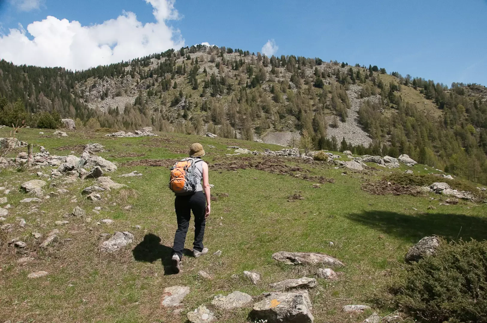
, which climbs the hillside at a moderate gradient. You immediately enter a woodland dominated by larch trees and, a little further on, you come across a magnificent larch, undoubtedly over a century old, its form shaped by the passage of time. The path begins to gain height with a series of bends interspersed with long diagonal stretches on a moderate incline. During the ascent, you’ll come across a few small paths that join the main one, but these should obviously be ignored. The woodland gives way to a few clearings from which you can enjoy interesting views over the lower valley and the ridge running from Col Courtil to Colle Terra Rossa, the natural watershed with the Champorcher valley. The path enters the woodland once more before emerging onto the pleasant pasture leading up to the mountain pasture. Ignoring some ruins on the right, continue across the pasture following the markings dotted along a few boulders, initially heading north-east towards the summit of Bec Gavin, before veering slightly left towards the mountain pasture. You’ll pass the final, slightly undulating stretch until you reach Aveuil (1,717 m) 1h00'. From the mountain pasture, you can enjoy a sweeping view of the lower valley.
The return journey follows the same path taken on the way out 0h45'.
Places of Interest
Visey-Dessus
Aveuil
Collections
Photo gallery
Comments (0)
Sign in to leave a comment