Rita Tarussello
Wrote 41 reports, for a total distance of 26,70Km up and a total elevation gain of 44,02Km and 338 hours of walking
Active filters:
User: 1763
Showing 42 results
with active filters
Loading...
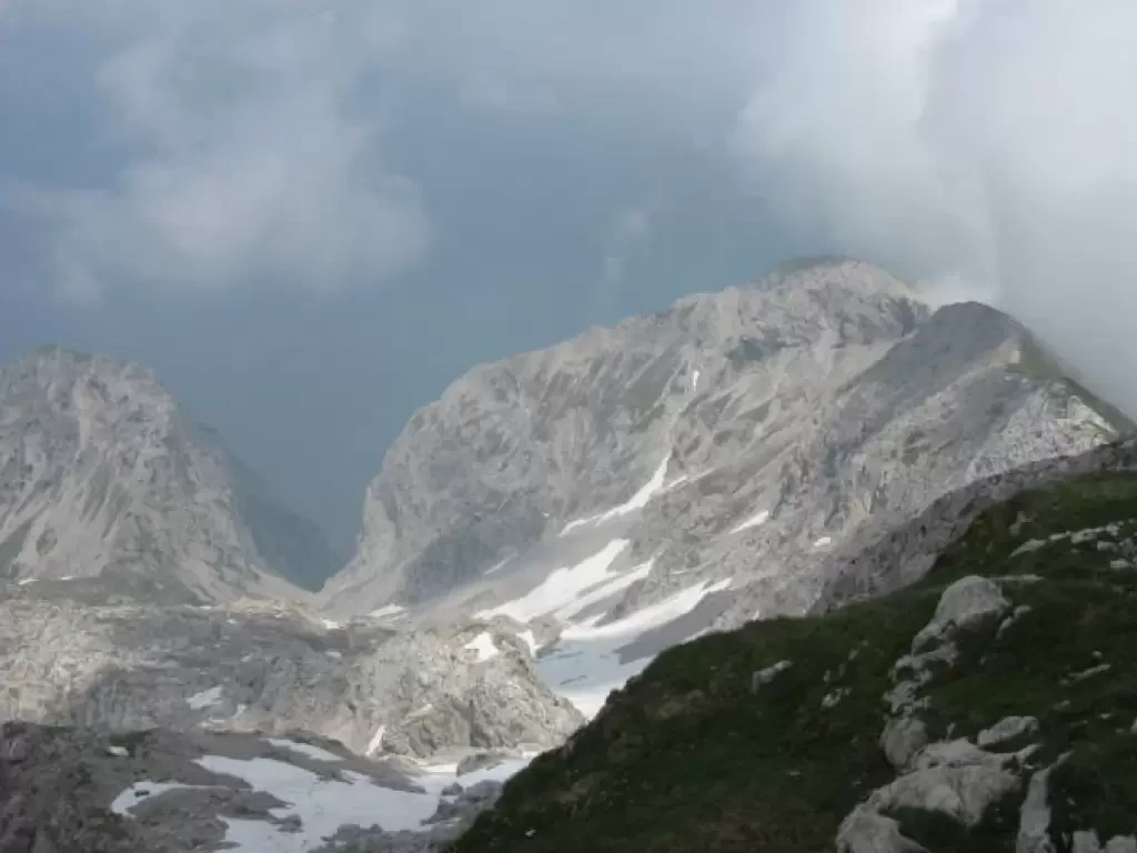
Northern Grigna, from Rongio
Direct access to the Grigna Settentrionale from the Lario side is from Rongio, a hamlet of Mandello del Lario. The...
T3
20.00 Km
2213 m
Piz Arpiglia, from Zuoz
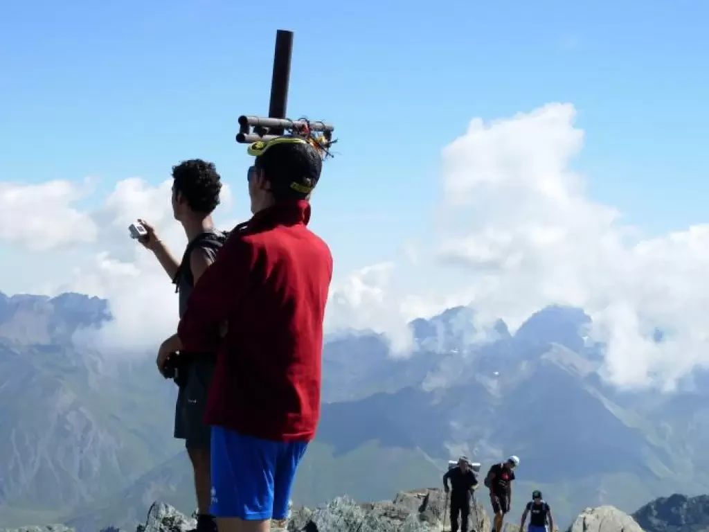
The Piz Arpiglia (2765 m) is a beautiful mountain in the lower Engadine, a popular destination for Swiss and Italian...
WT3
8.00 Km
1100 m
Testa del Rutor, from the Deffeyes Refuge
The Testa del Rutor, located between the La Thuile valley and Valgrisenche, rises rocky on the glacier of the same...
F+
15.00 Km
1205 m
Mongioia, from Sant'Anna di Bellino
From the start there is a magnificent view of the upper Bellino valley, at the head of which the Pelvo...
T3
17.00 Km
1460 m
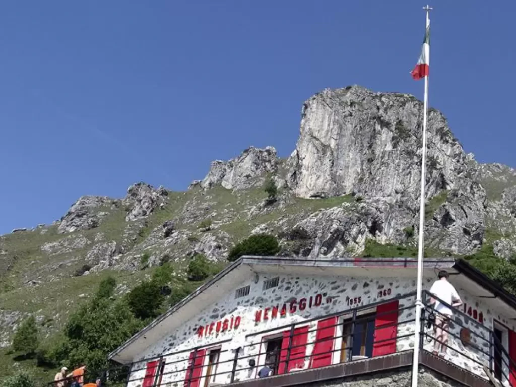
Rifugio Menaggio, from Breglia
A highly satisfying hike that can be done in both the summer and winter seasons. If carried out in summer,...
T2
0.00 Km
0 m
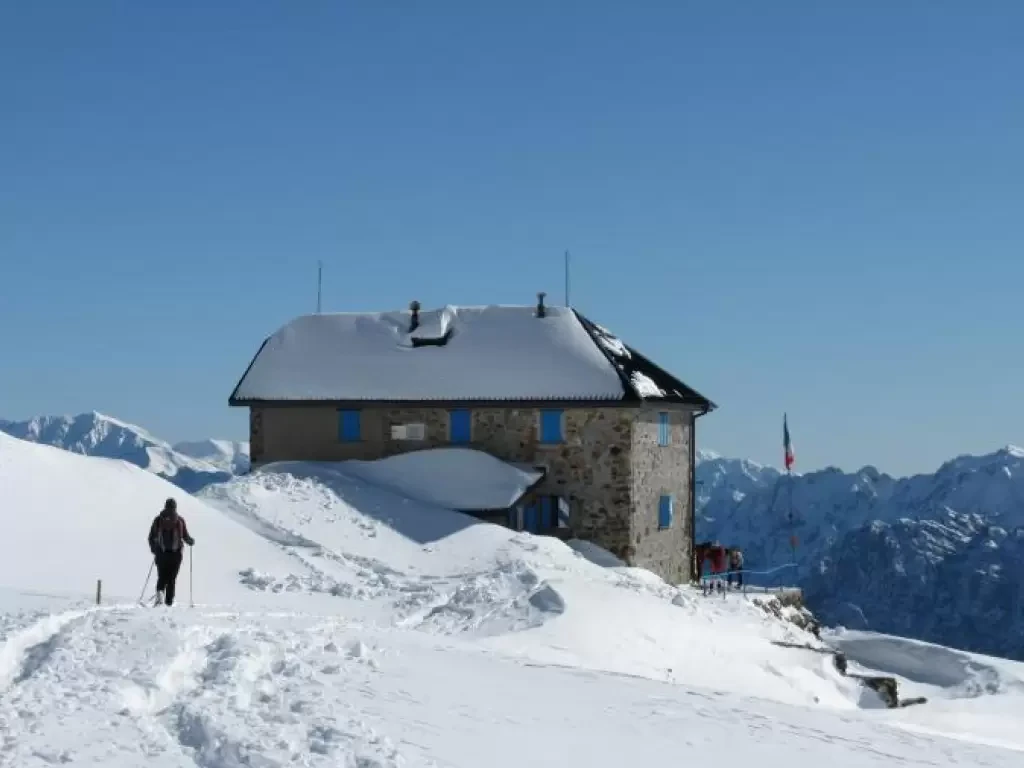
Grassi Refuge, from the bridge over the Troggia Torrent
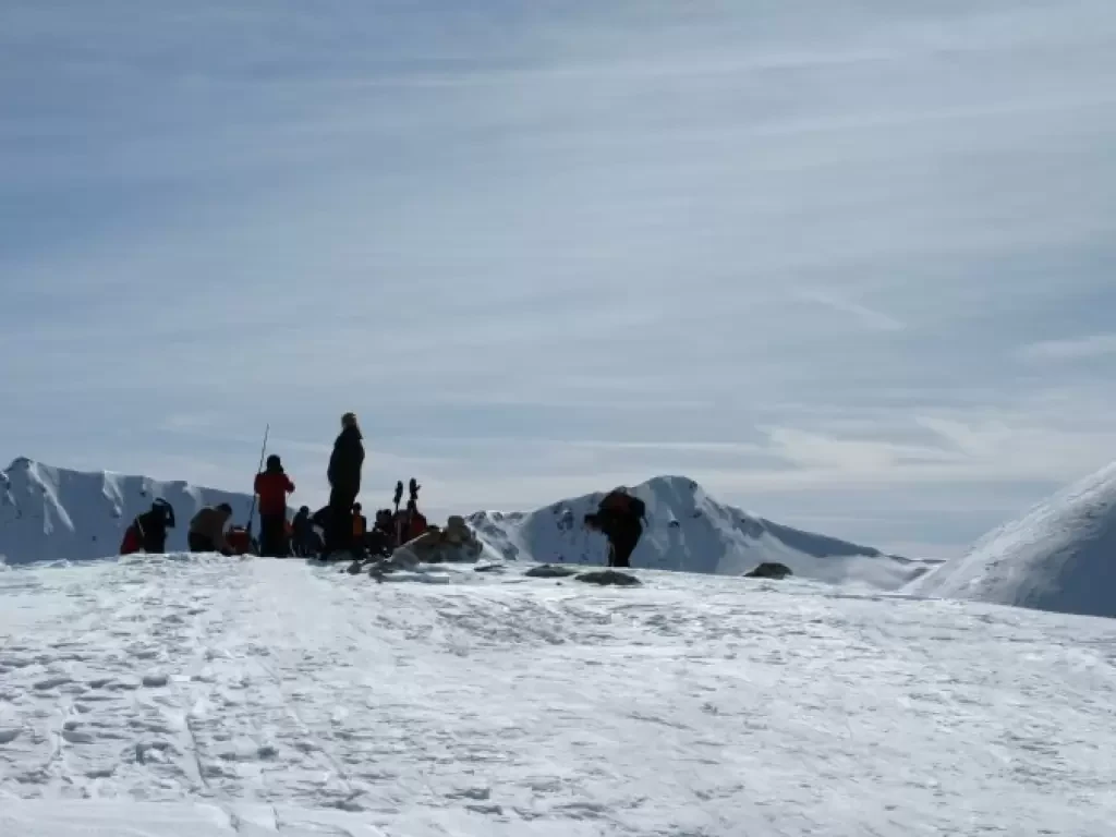
The winter excursion to the Grassi hut is generally made through the Val Biandino, which is accessed via a long...
WT2
0.00 Km
1440 m
Monte Coltignone
Il Coltignone è il monte più alto della Costiera di S. Martino, un gruppo di cime che dal Pian dei...
T4
13.00 Km
1262 m

