Nearby
📍 Location Details
Latitude:
Longitude:
Accuracy:
Updated:
0 km
100 km
Path
km
-
km
m
m
Hike Type
Round trip
Circular
Crossing
Partially circular
Recommended Period
All
Hiking
Snowshoeing
Ski-mountaineering
Mountaineering
Via ferrata
Climbing
Mountain bike
Trekking
Active filters:
Tags: haute-savoie-74
Showing 14 results
with active filters
Loading...
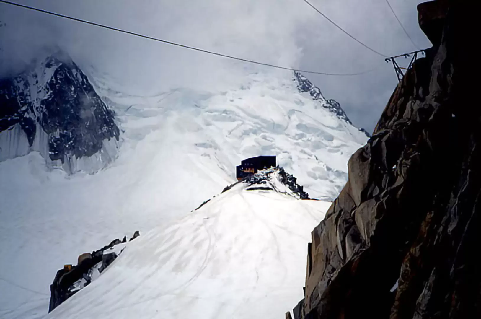

Edited by:
Giancarlo Beretta
Aiguille du Midi–Arête des Cosmiques, from the Aiguille du Midi
A beautiful ridge with no objective hazards. The ascent can also be completed as a day trip by taking one...
D
0.00 Km
310 m
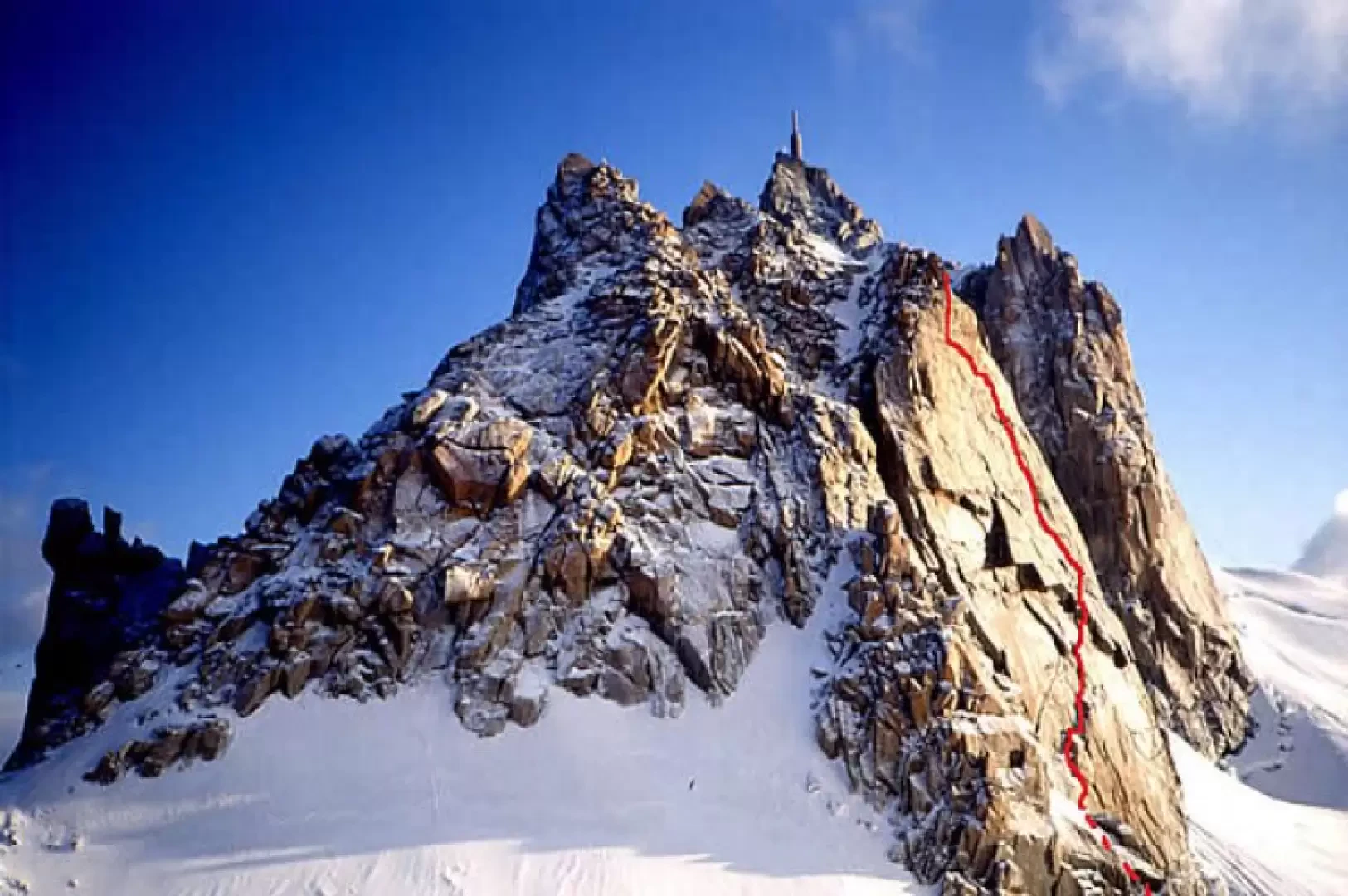
Edited by:
Giancarlo Beretta
Aiguille du Midi-Via Rebuffat, from the Aiguille du Midi
This is a very beautiful route with a wonderful southern exposure. The route consists of 6 pitches with a maximum...
TD
0.00 Km
210 m

Edited by:
Giancarlo Beretta
Col du Tour Noir
This ascent is characterised by both a normal altitude gain and an exciting descent of more than 2300 m of...
BS
21.00 Km
1027 m
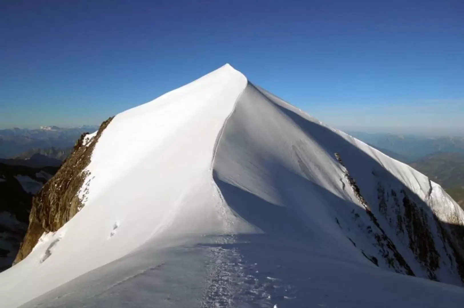
Edited by:
Giancarlo Beretta
Dômes de Miage, from Les-Contamines-Montjoie
The Dômes de Miage are located on the southernmost part of the spectacular ice ridge that from Mont Blanc, and...
AD
28.00 Km
2777 m
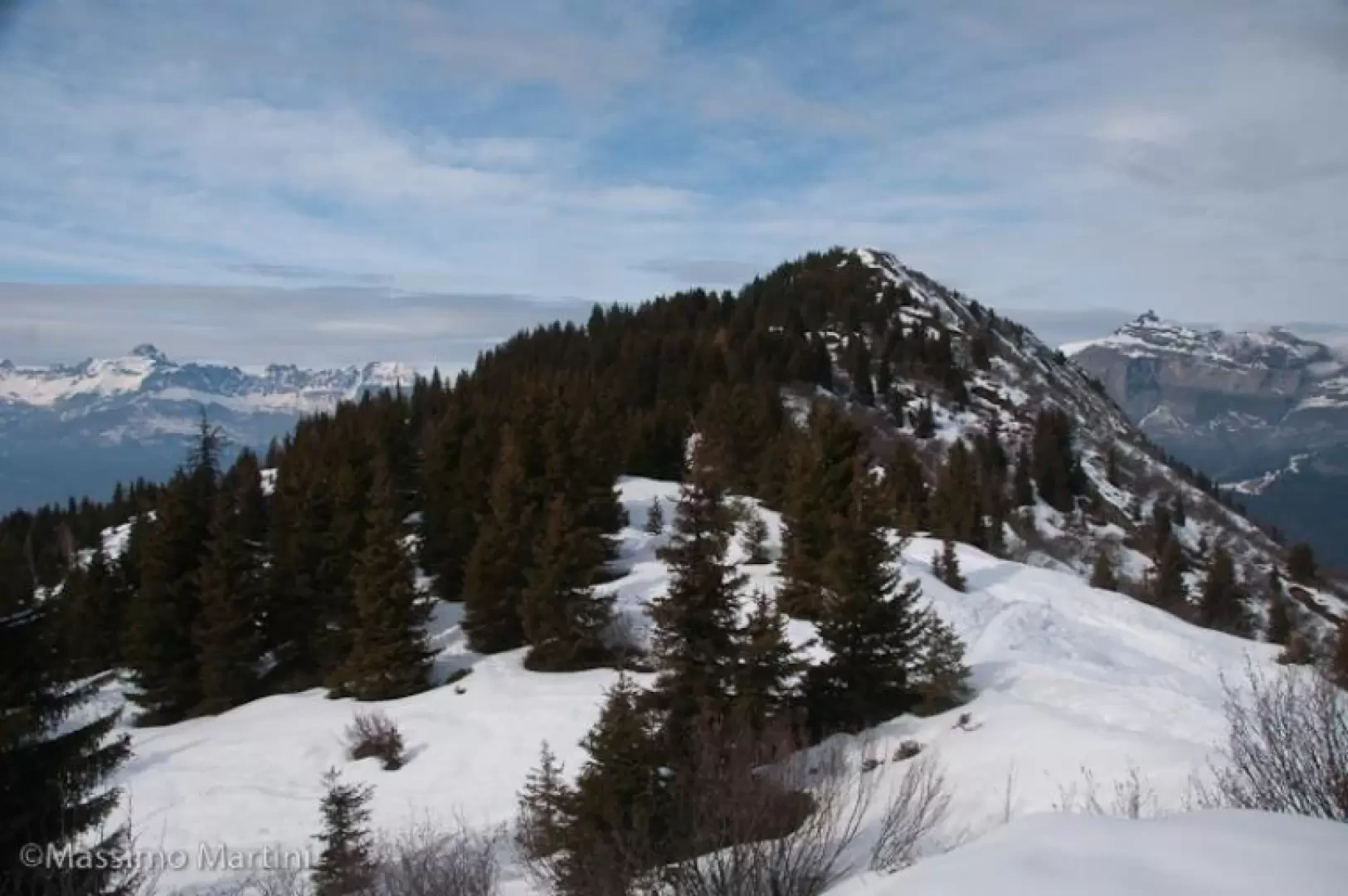

Edited by:
Massimo Martini
Le Prarion
Il Prarion è un dosso boscoso che domina tutta la vallata di Chamonix. Esso può essere raggiunto in due modi:...
WT2
10.00 Km
702 m

Edited by:
Giancarlo Beretta
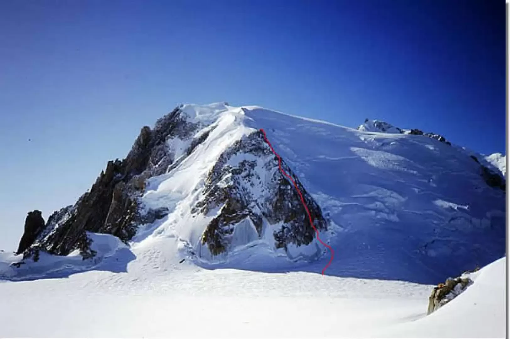
Mont Blanc du Tacul
Various ascent on snow-ice in a grandiose and scenic environment, somewhat exposed to falling ice and to be tackled very...
D
0.00 Km
873 m
Edited by:
Giancarlo Beretta
Mont Blanc du Tacul, Goulotte Chèré, from the Aiguille du Midi
Approximately 200 m high Gola Ghiacciata located to the right of the north-west pillar. Very beautiful and athletic ascent on...
D
0.00 Km
716 m
Edited by:
Massimo Martini
Mont Joly, from Plateau de la Croix
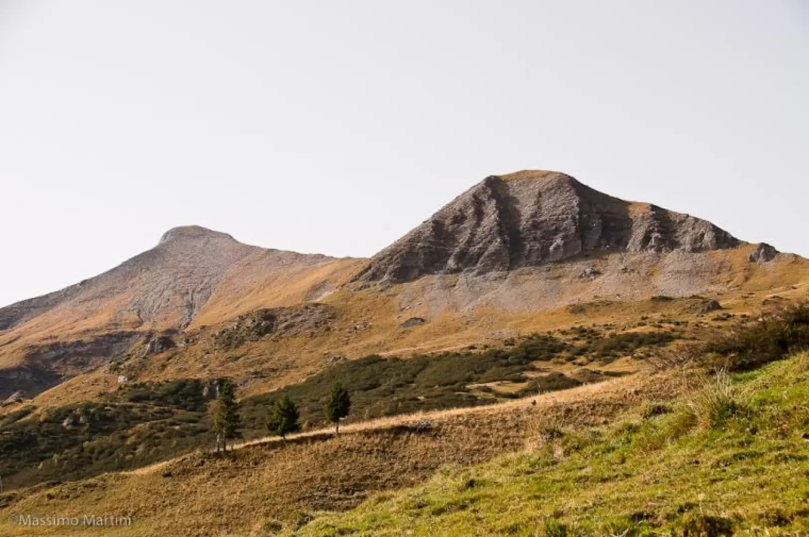
The ascent to Mont Joly affords remarkable panoramic views of the south-western side of the Mont Blanc Massif, with privileged...
T2
12.41 Km
1071 m
Edited by:
Massimo Martini
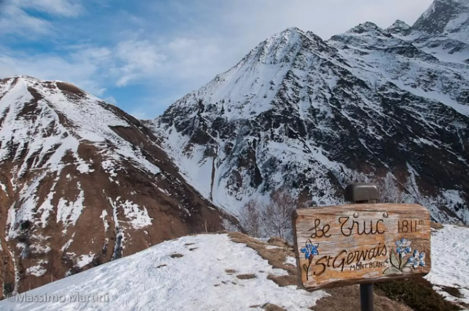
Mont Truc, from La Frasse
Brief excursion to Mont Truc, a panoramic grassy knoll on the heights of Contamines. The route runs entirely on a...
WT2
7.00 Km
518 m
Edited by:
Giancarlo Beretta
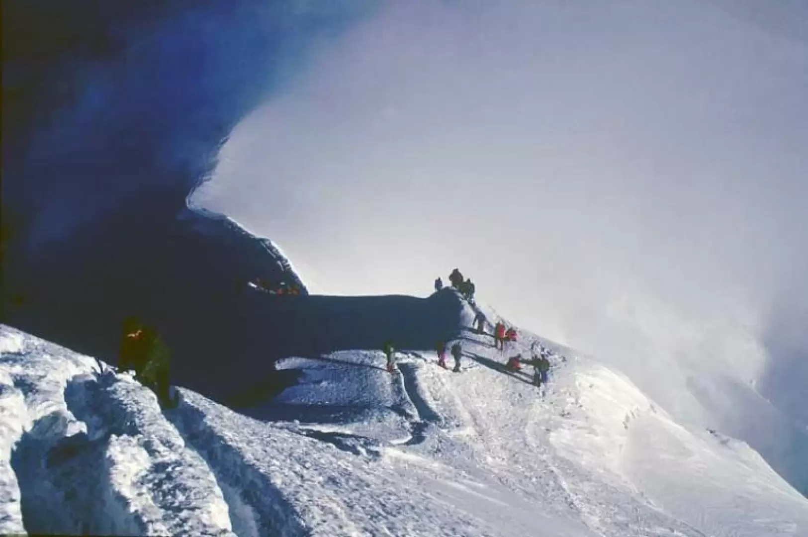
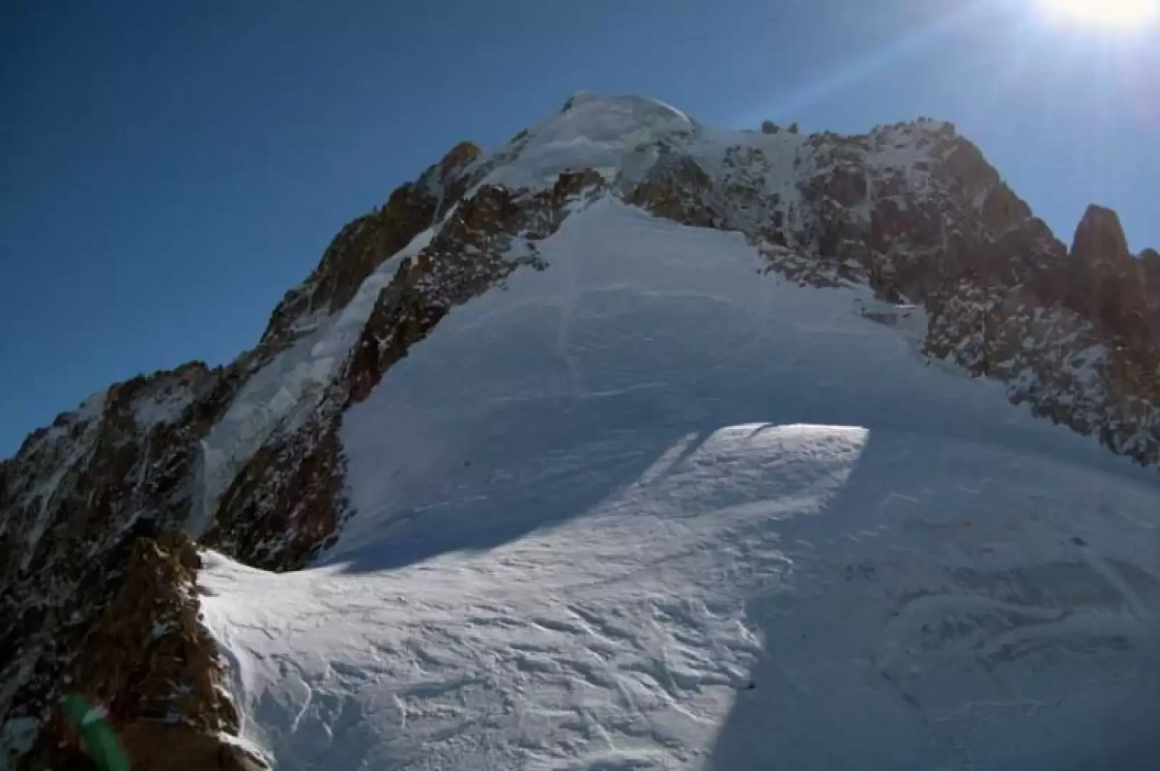
Mont Blanc, from the Nid d'Aigle
Being the highest peak in Europe, it is coveted by all mountaineers and, consequently, also very popular, as it has...
PD
0.00 Km
2505 m
Edited by:
Massimo Martini
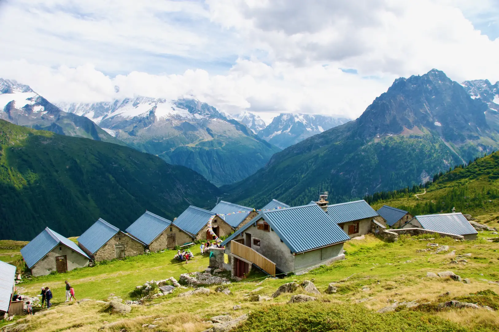
Refuge de Loriaz, ring from Le Couteray
A classic route in the Vallorcine valley, the ascent to the Chalets de Loriaz (2,020 m) allows you to immerse...
T2
10.94 Km
660 m