Nearby
📍 Location Details
Latitude:
Longitude:
Accuracy:
Updated:
0 km
100 km
Path
km
-
km
m
m
Hike Type
Round trip
Circular
Crossing
Partially circular
Recommended Period
All
Hiking
Snowshoeing
Ski-mountaineering
Mountaineering
Via ferrata
Climbing
Mountain bike
Trekking
Active filters:
Tags: germany
Showing 2 results
with active filters
Loading...

Edited by:
Massimo Martini
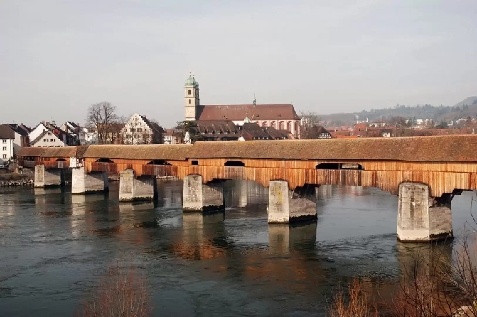
Holzbrücke, from the car park at Bad Säckingen station
Between Bad Säckingen and Stein, the border between Germany and Switzerland runs down the middle of the Rhine and can...
T1
2.02 Km
19 m