Mello Valley, from San Martino


Edited by:
Marco Bonati
Updated at: 06/05/2026
Access
From Milan to Ardenno along the state roads and ; at the crossroads near the railway station turn left in the direction of Val Màsino. Continue up the provincial road as far as the village of San Martino Valmàsino: at the entrance to the village park in the spaces provided on the left.
.Introduction
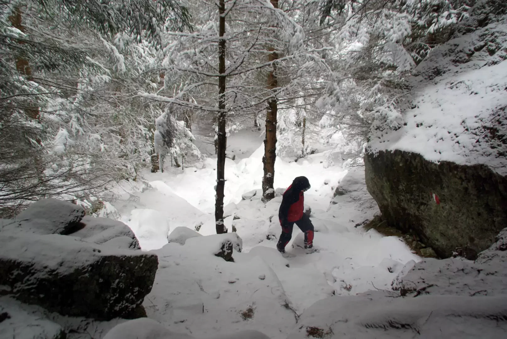
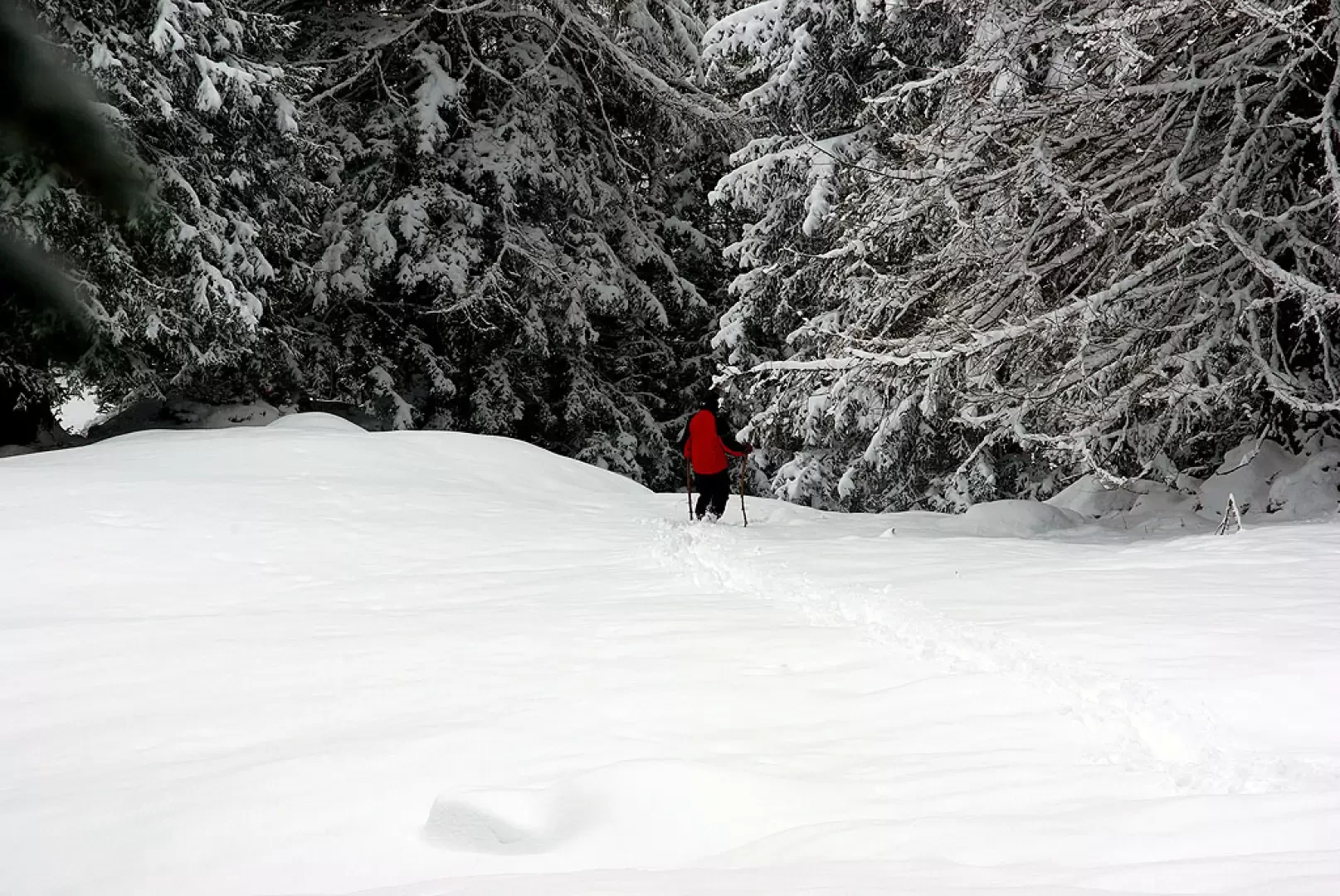
The Mello Valley is of course known for other features, which are certainly not restricted to a nice walk along the valley floor with snowshoes. But when you can't climb the famous slabs, when the boulders for bouldering are too wet and the icefalls not yet well formed, the only way to hike in this environment is to follow the valley floor path all the way past the last dwellings: the footprints of the chamois - just theirs - will point out the best trail.
Description
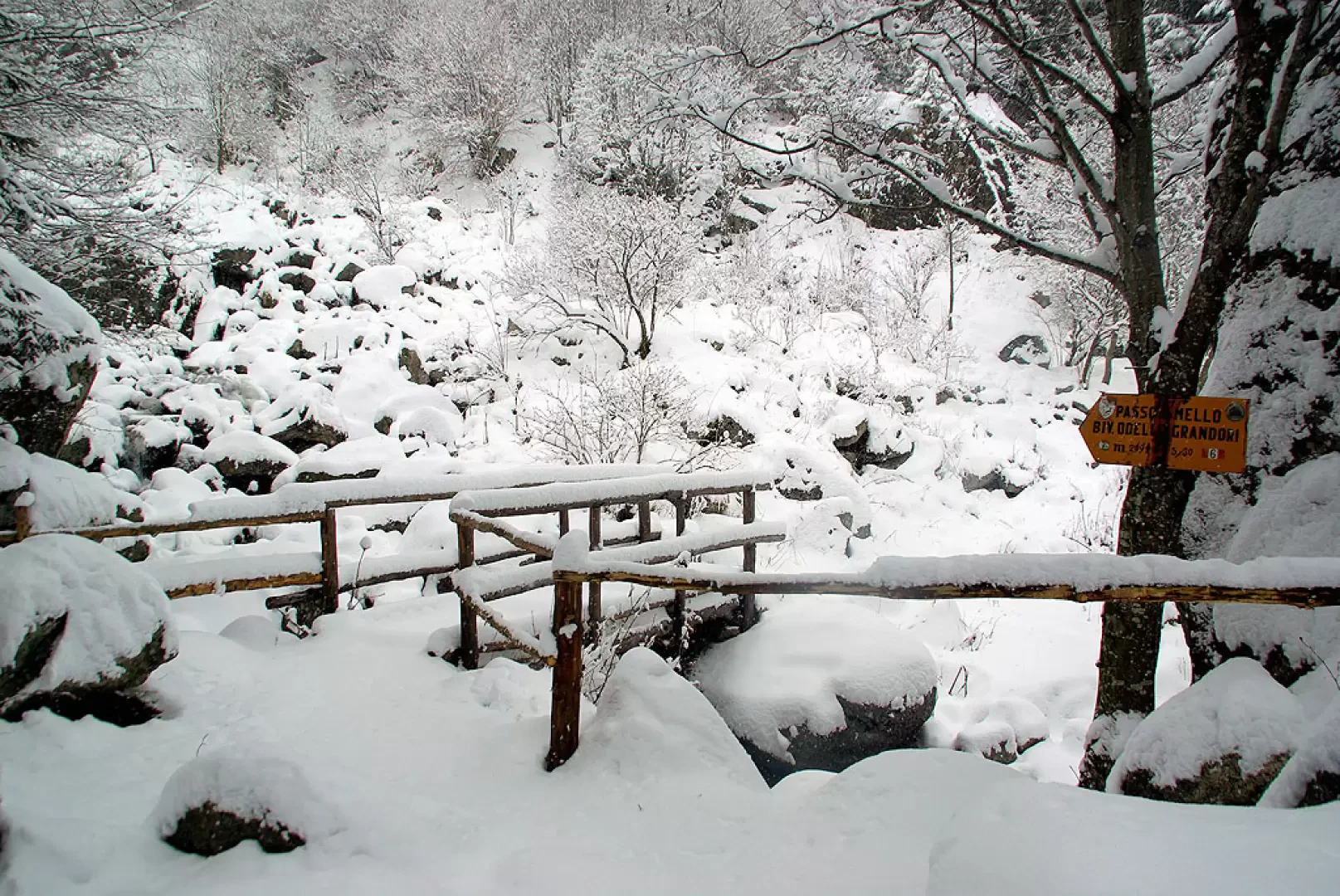
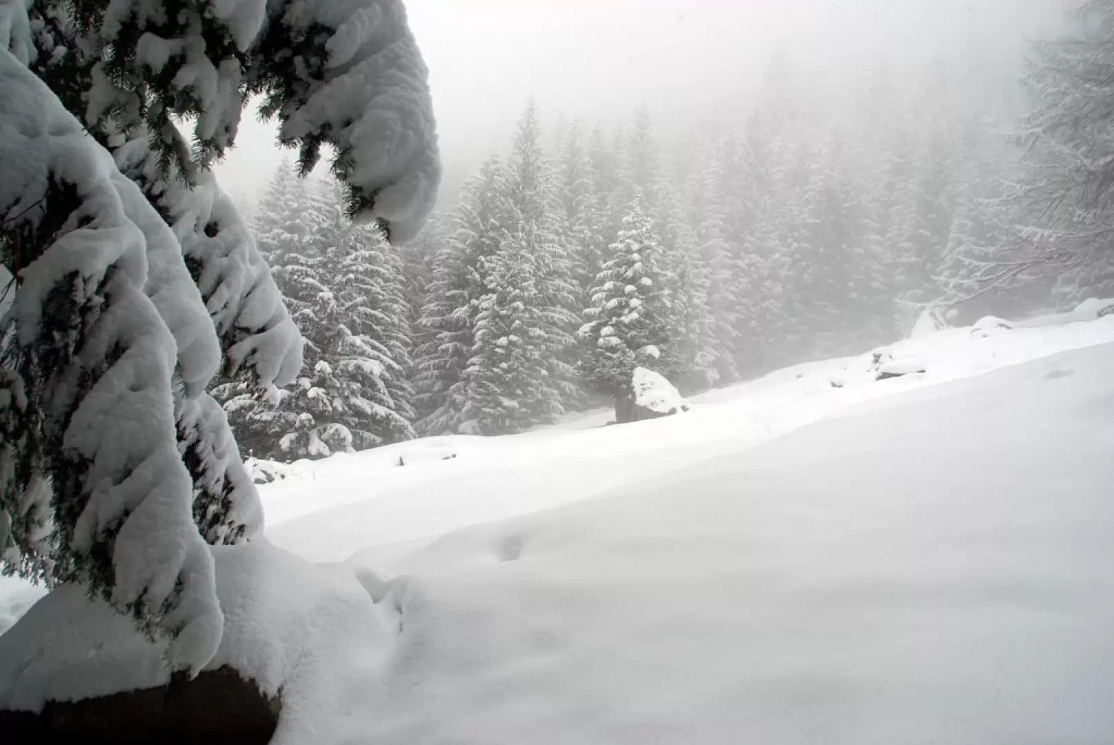
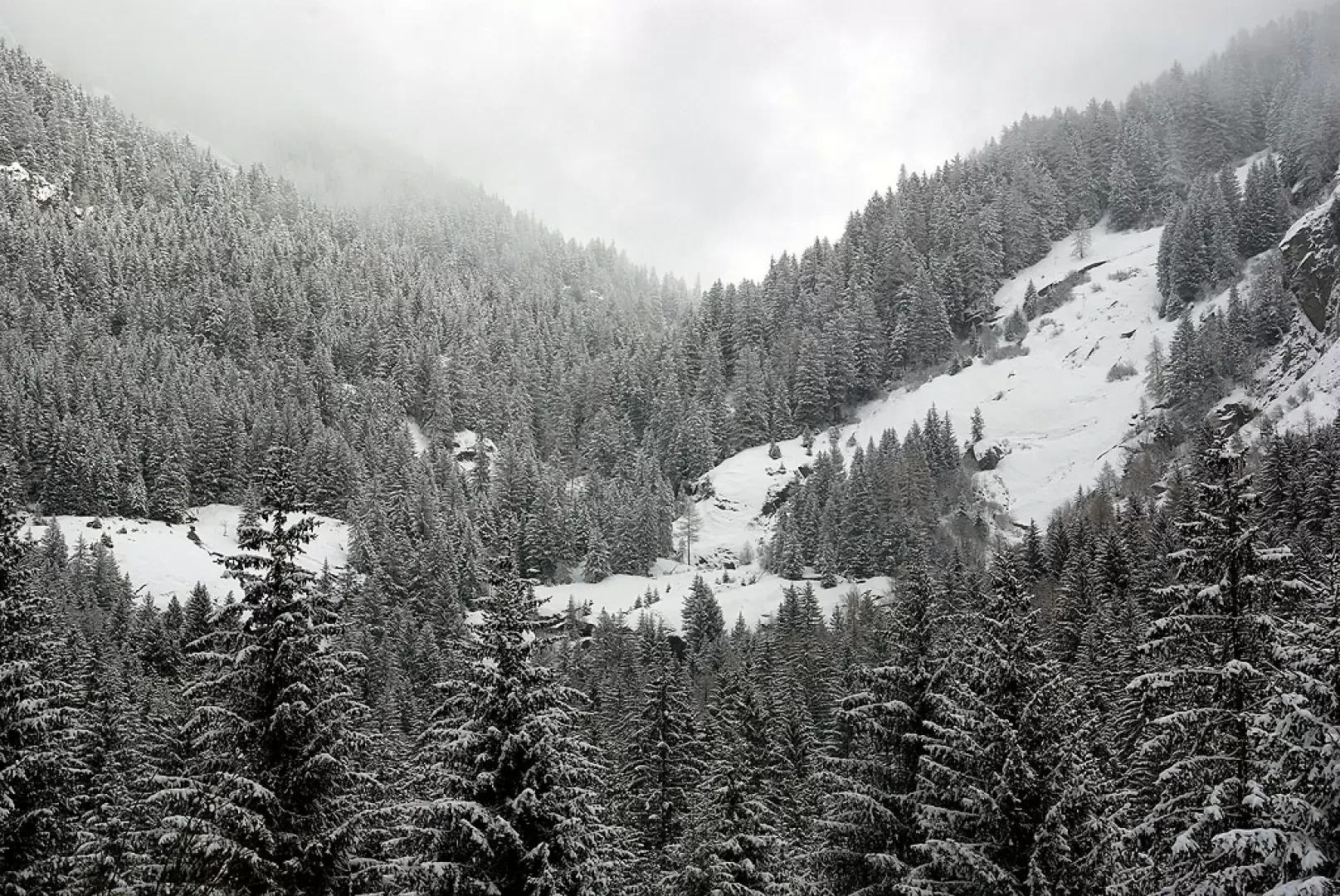
From the 923m car park, go uphill through the village to the right until you come to - at the beginning of the road - a sign listing all the excursion destinations in the valley and in the valleys. Follow the road, which in falsopiano enters the wide Valle di Mello and, after passing one of the many granite quarries, widens out into the esplanade of the summer car park (contrada Cà dei Rogni 1049m). With little snow, it is also possible to drive up here, but it must be taken into account that it is never officially cleared. After the Osteria del Gatto Rosso, you begin to climb along the mule track at the bottom of the valley, which is very stony but passable by authorised agricultural vehicles; the track runs alongside the stream, between imposing larches and flat meadows. We pass the hamlets of Pànscer 1061m, Cà di Carna 1076m, Cascina Piana 1104m and, after a stretch through the dense spruce forest, we arrive at Ràsega 1148m; the excursion continues on the path that takes us a little higher up the left side of the valley: a few bends and we find ourselves near the bridge 1298m where the path for Val Torrone (with the Manzi-Pirotta Bivouac) branches off to the left. We continue across the stream towards the Cameraccio valley (it changes name, but it is the head of the Mello valley) and begin to climb in stepped hairpin bends in the darkness of a very dense fir forest; a few small clearings get closer and closer in anticipation of the Casera Pioda 1559m. The huts are rather shabby and do not allow shelter: it is more pleasant to stop at the foot of one of the large fir trees, in the space left free of snow. It would be possible to continue up the valley, without great objective danger, but an excellent knowledge of the summer route is essential. The return is by the outward route.
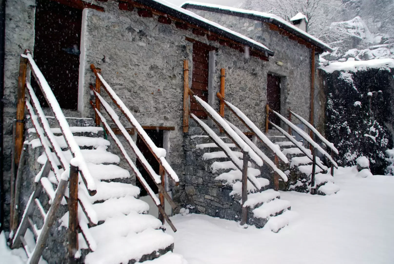
At Cascina Piana and at Ràsega there are "refuges" where it is possible to take refreshment.
General Information
Signposts: Red/white paint
Type of route: a/r
Recommended period: December, January, February
Sun exposure:southwest
Photo gallery
Comments (0)
Sign in to leave a comment