Giovera, from Altoggio


Edited by:
Giancarlo Beretta
Updated at: 04/05/2025
Access
Take the Genoa-Gravellona road and, having reached its end at Gravellona Toce, continue on the dual carriageway in the direction of Domodossola; after passing the Ossola capital, exit at the junction for Montecrestese. You reach the municipality, cross it and, after passing the houses, a road branches off to the right indicating the hamlet of Alloggio. When you reach Alloggio, there are two ways to park your car: just before arriving at the houses, follow a road on the left signposted for Coipo and follow it as far as the no-trespassing sign and park near a bend, or a little further on you will come to the first houses and find a small square with a car park.
.Introduction
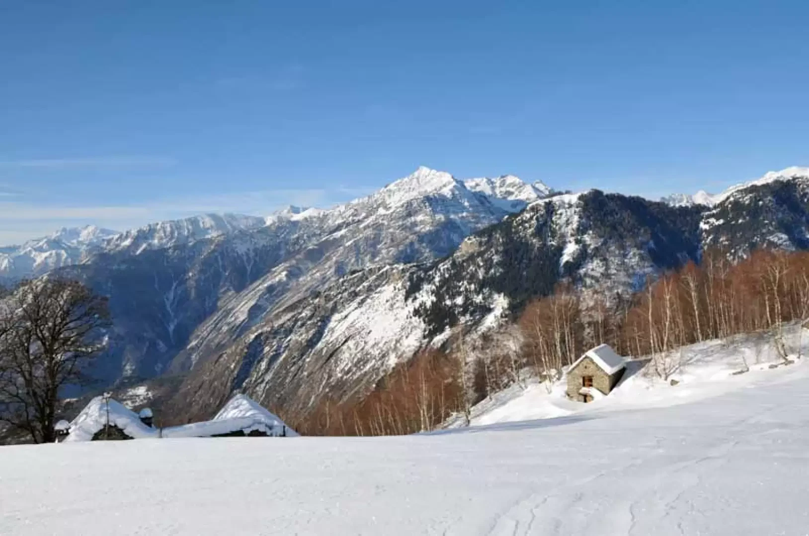
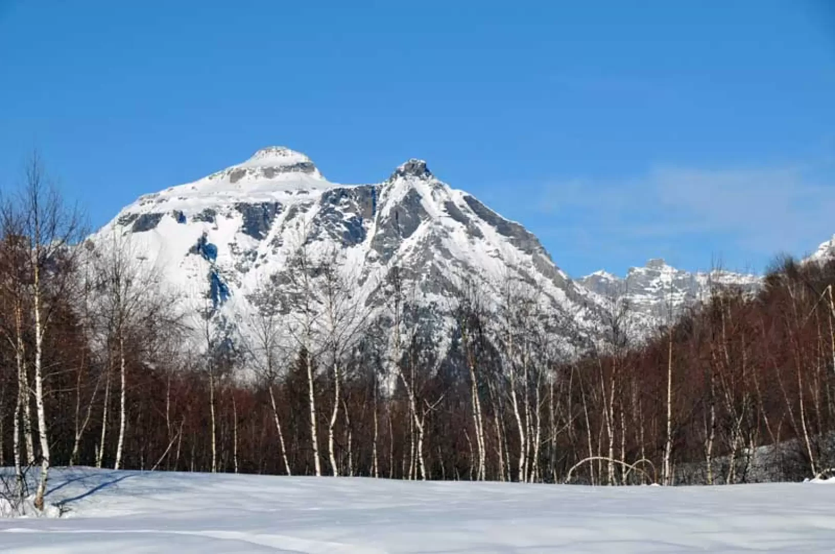
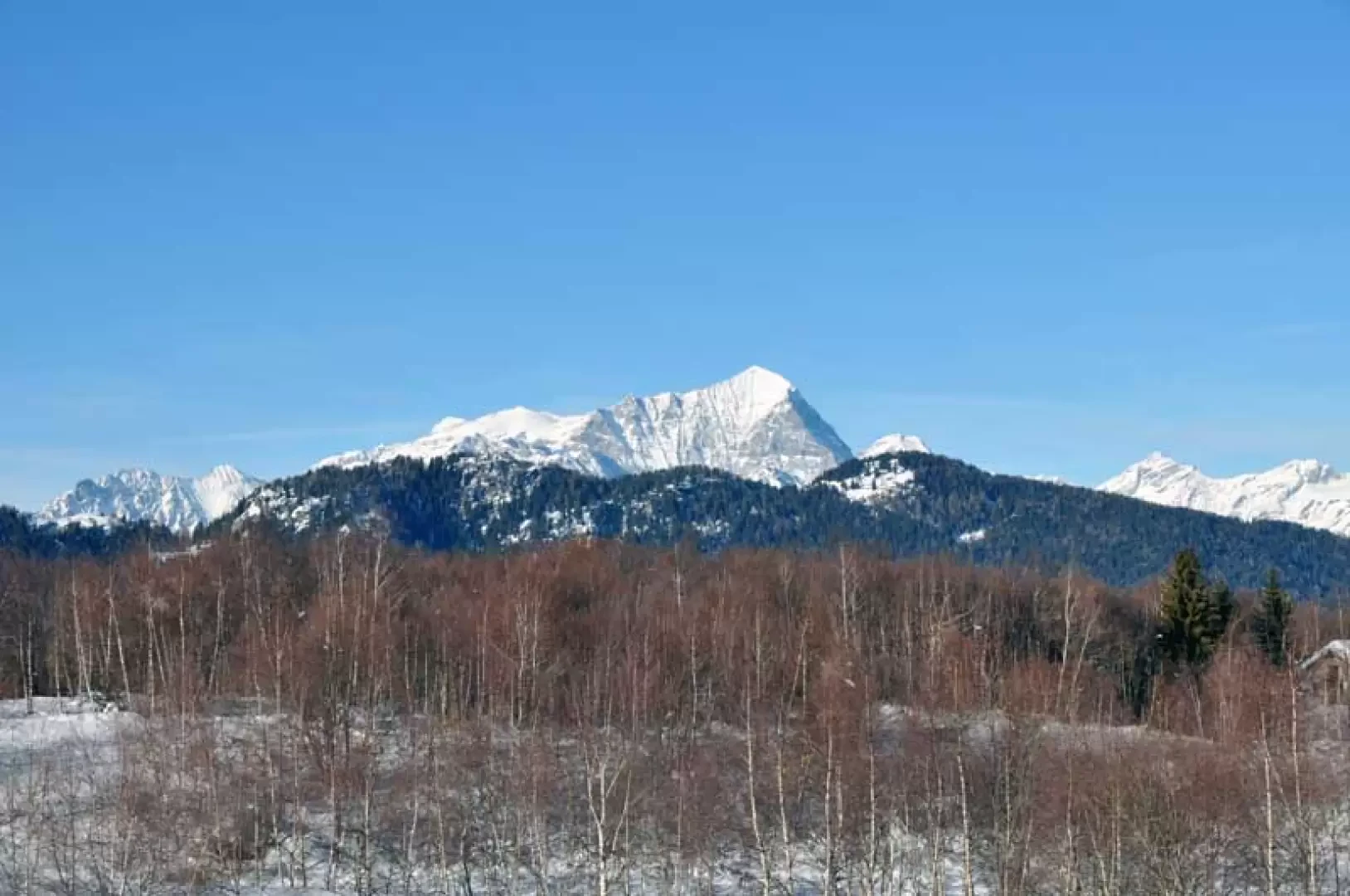
This easy hike takes us to two very scenic alpine pastures, from which there is a beautiful view of the upper Ossola valley, as we climb the wide watershed ridge that separates the Isorno valley from the Antigorio valley; the forest is never too closed in and at every bend offers beautiful views of the surrounding peaks that crown the wide Ossola valley floor, even as far as Monte Leone and the east face of Monte Rosa. The route, often beaten also by snowmobiles, is not demanding and is safe even after a snowfall, making it suitable even for novices to this type of excursion.
Description
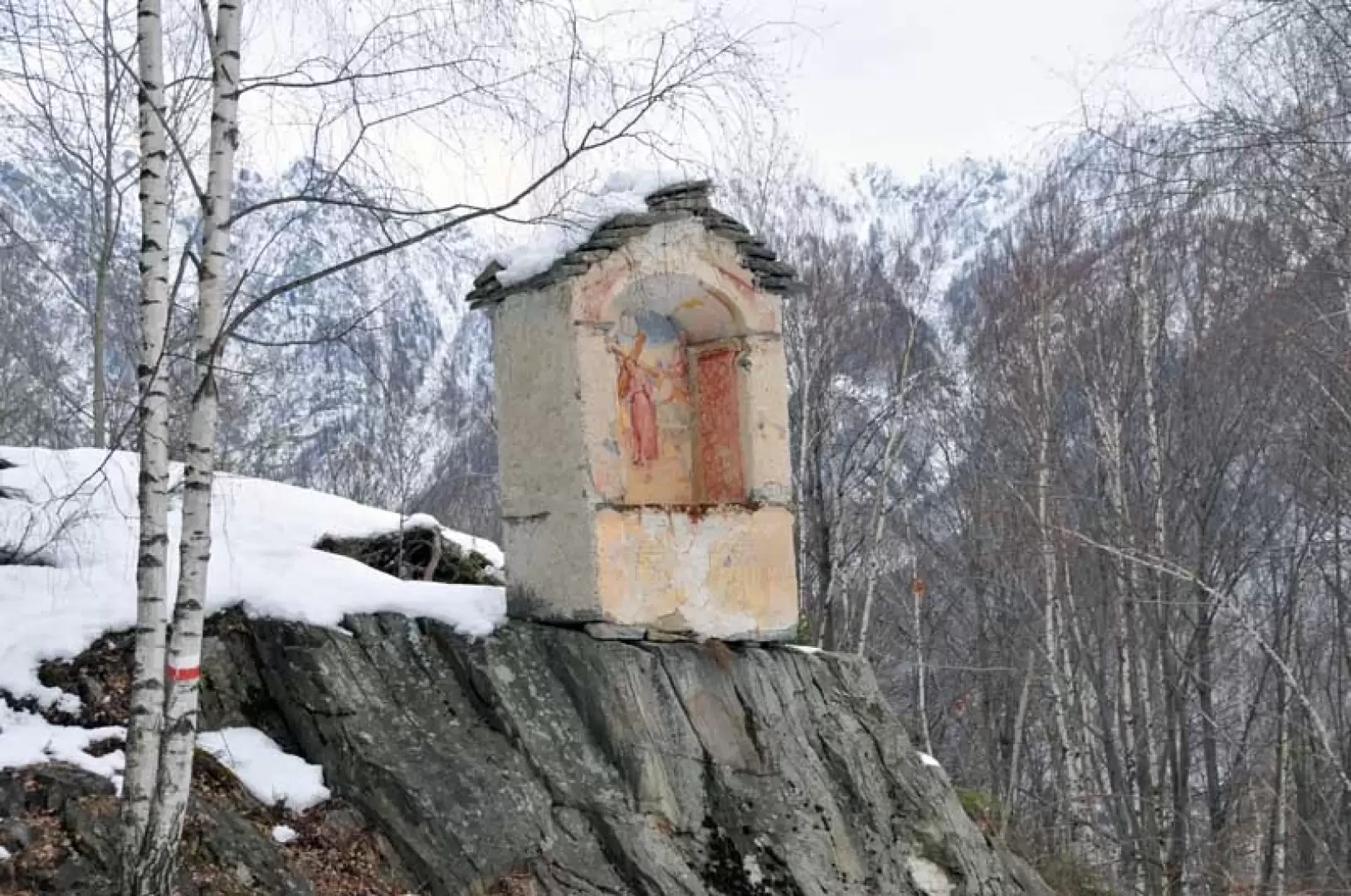
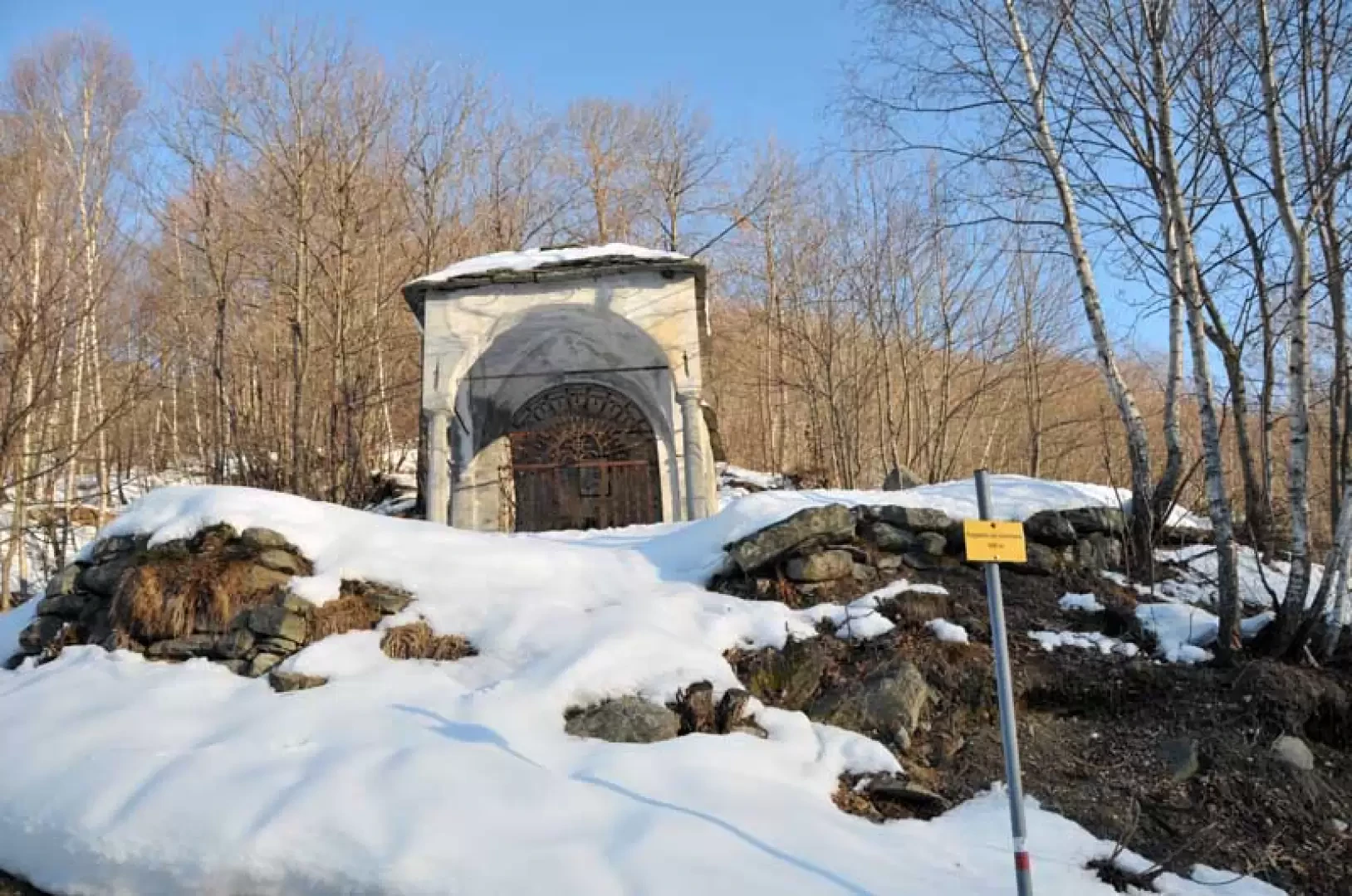
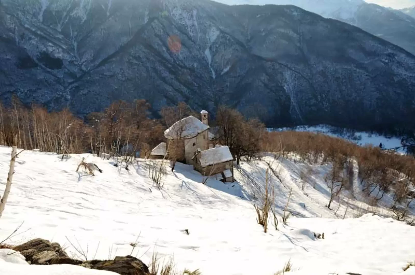
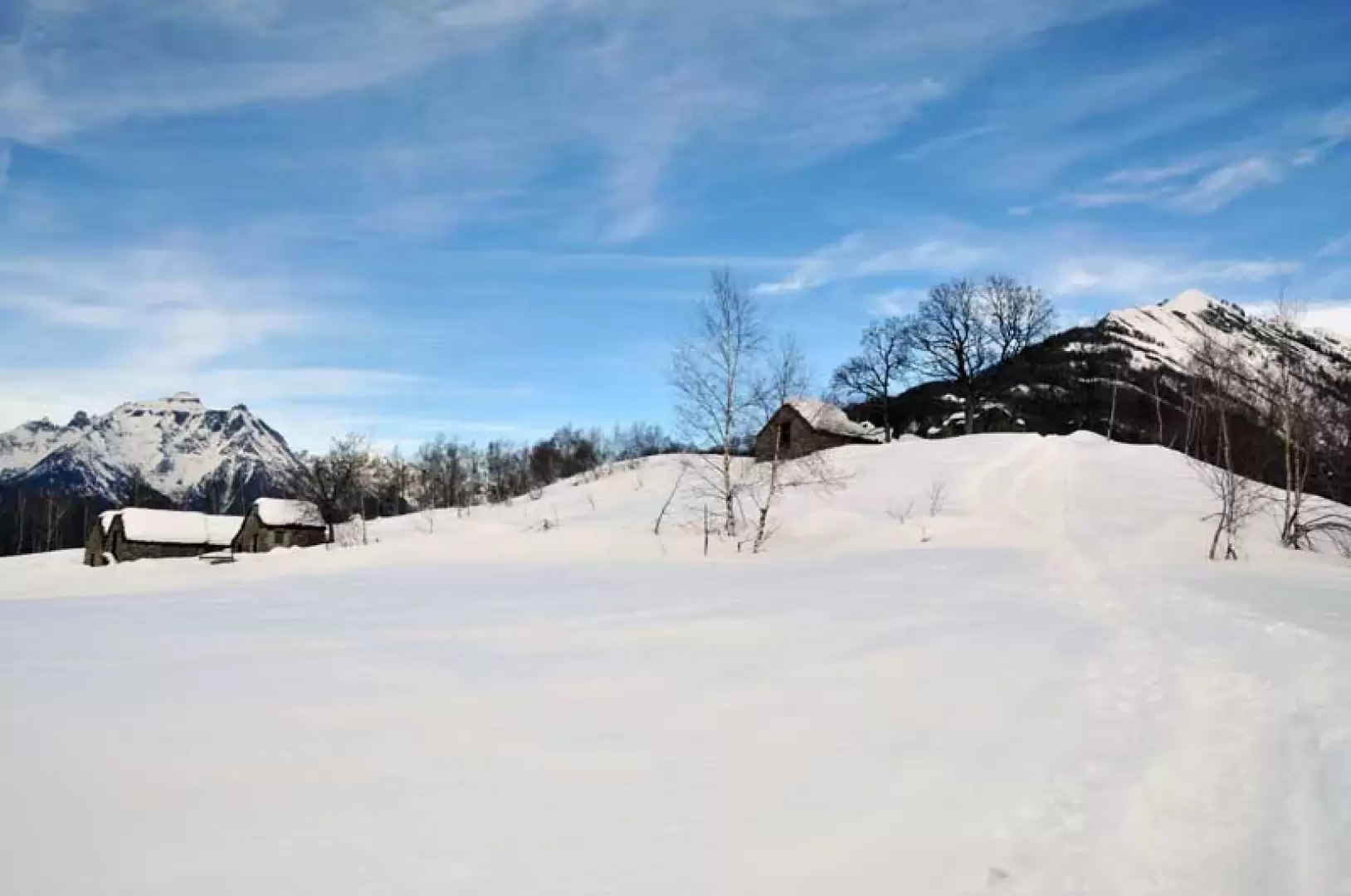
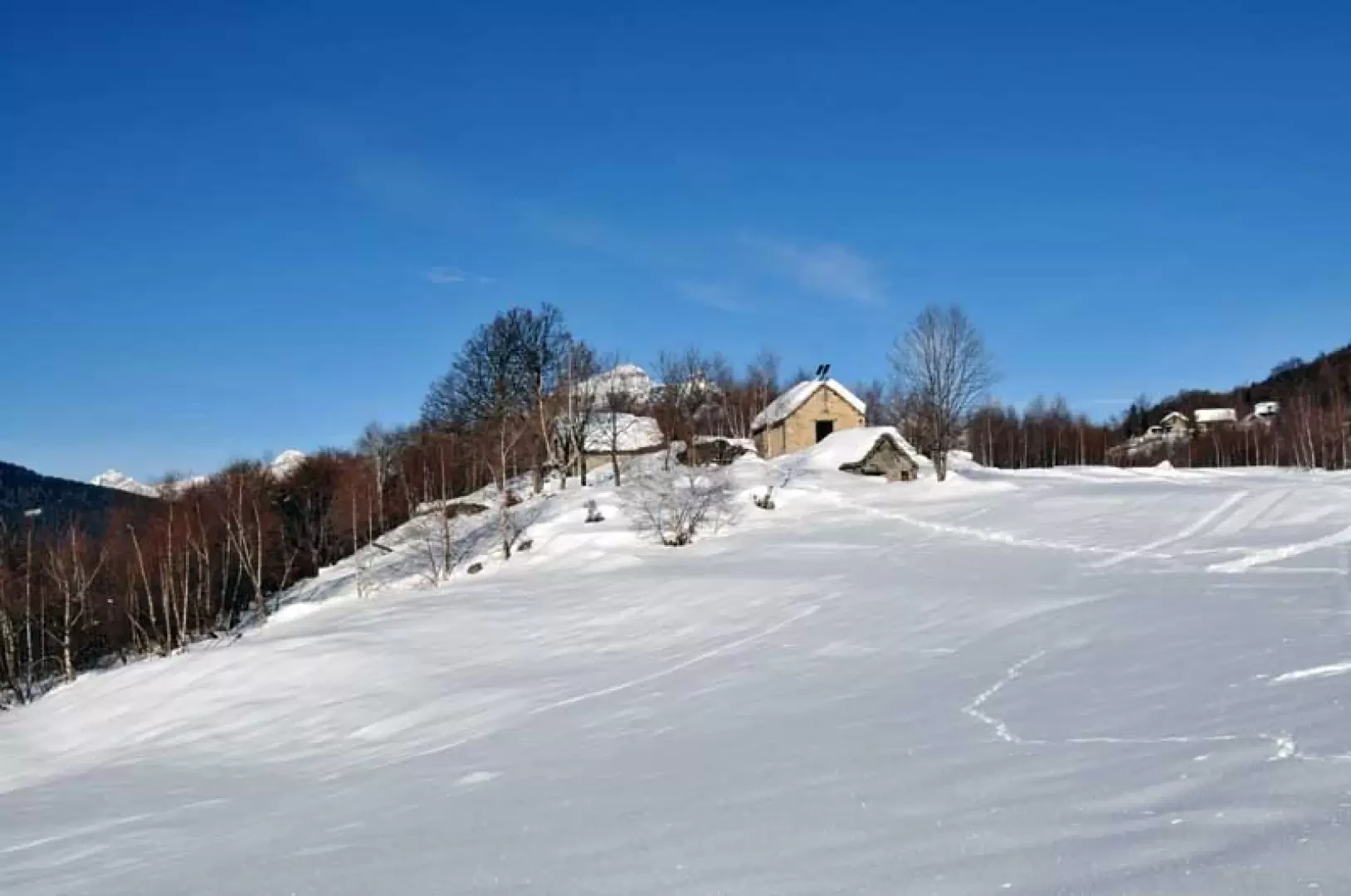
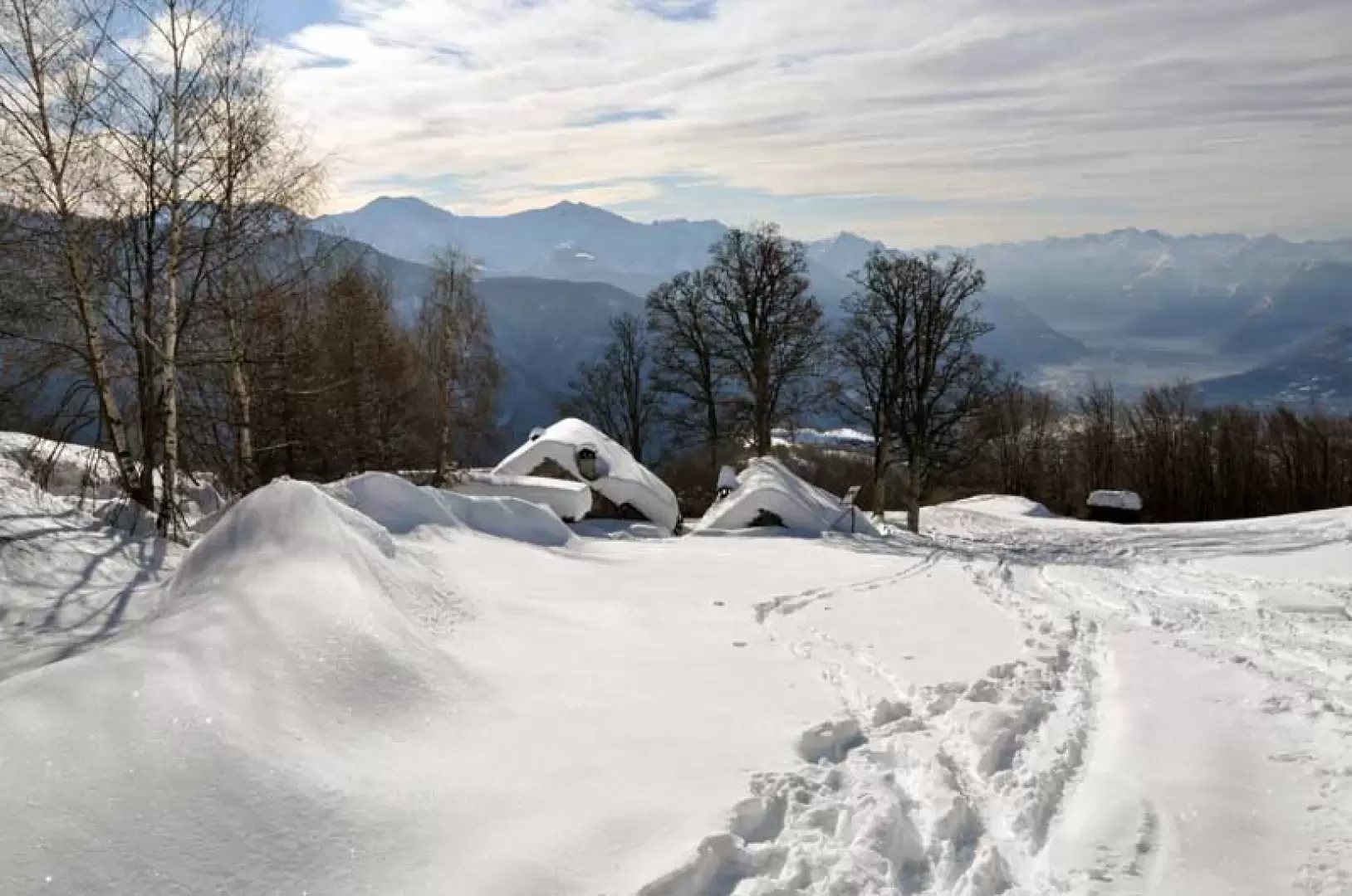
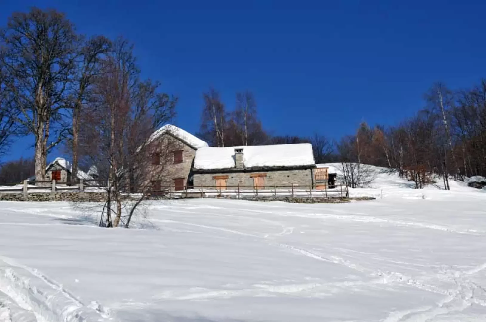
From the small square, head along the narrow road that first passes under a characteristic stone arch and then under the canopy of a large wash-house where, crossing the characteristic lanes, you shortly arrive at the small church (there is a small car park here too, but apart from the narrow road it is worth crossing the characteristic hamlet); having passed to the left of the church, walk towards the last house where the path begins. Walk uphill for a few minutes and you will come to a crossroads near the no-trespassing sign; walk along it for a short distance and at the bend you will find the continuation of the path on the left, which climbs up into the sparse beech and birch woods. When you reach the road again, follow it past an old chapel that seems to be poised on a rock and then pass a few huts fenced off by a dry stone wall (884m); after a few more hairpin bends, you arrive at the Cappella dei Genovesi (993m) and a little further on, you pass a few more huts above which is the little church of the Madonna di San Luca (1153m) in a panoramic position. After passing several bumps, the road arrives at the Corte Bertolini huts (1339m) and continues, now without hairpin bends, reaching the open expanse where the Coipo alpine pasture (1407m) is situated in a truly panoramic position. With no possibility of making a mistake, leave the huts to the left and continue along the consortium road until you come to a fork (1447m) signposted by the posts at which you turn right; after a few bends you arrive at the beautiful huts of Giovera di sotto (1534m), go past them and you will come to another fork (1547m) at which you turn left and shortly afterwards you will reach the alpine pasture of Giovera di sopra (1626m) where next to the old huts are the new, well renovated ones, and which is located at the beginning of the long wooded ridge of the Cima degli Uccelli and further on of Monte Larone.
Photo gallery
Comments (0)
Sign in to leave a comment