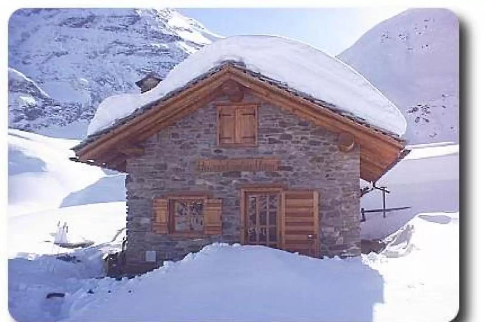
Gontier bivouac, from Sylvenoire

Access
Leaving the motorway at the Aosta Ovest exit, turn right and take the for the Cogne valley. After passing through the village of Aymavilles, the road climbs the valley for about 10 kilometres until you reach the village of Vieyes: turn left into the village and park in the centre of the village; there is also a car park along the regional road in case there is no space in the one below.
- How to get there with GMAPS
- How to get there with Apple Maps
Introduction
This excursion is not one of the best known and most practised in the Aosta Valley, but it is certainly one of the most beautiful. When you reach the Gontier bivouac, nestled in a verdant basin, you cannot help but be amazed by one of the most beautiful mountains in the Alps: the Grivola.
Description
Leaving the car near the avalanche shelter (a few kilometres after Vieyes), we set off on a little road that leads to Sylvenoire (1324 m), the starting point of our hike.
Before starting our walk, it is advisable to fill our water bottles () at a fountain located near the houses.
Following the path, we leave the village and cross some pastures on the orographic left of the valley. After about 20 minutes of walking we can take a short break, there is a bench that invites us to do so, and enjoy a splendid view with Mont Blanc in the background.
From here the path, which has become a farm road, descends to the Plan Pessey mountain pasture (1381 m), where we cross the Gran Nomenon stream and ascend the valley of the same name on its orographic left.
From Plan Pessey, the path plunges into a forest of larch and fir trees and climbs the ridge in a series of small hairpin bends. After passing a few fairly steep sections, the path becomes gentler and, as we approach the Petit Nomenon huts (1974 m), crosses the stream again to reach the village on its orographic right.
Leaving the huts and the park ranger's hut, we ascend the meadows and leave the last groups of pines behind us. In the last stretch before the bivouac, the path flattens out and after passing a few small hills we come to a cross and finally the bivouac.
The bivouac, built of stone and wood in perfect harmony with the surrounding environment, is a small sanctuary of tranquillity, set in a hollow of rare beauty. It is dedicated to Mario Gontier, a young man from Aymavilles, who died in 1983, and who always loved these places.
A place of such rare beauty should rightly be preserved with the collaboration of all those who love the mountains. Please note that the keys to the bivouac must be requested from the owners, and it is also advisable to bring some wood to the bivouac to run the stove:)
Snowshoeing route
This route can also be done with snowshoes, but it must be taken into account that with a track it takes about 4h00', without one, the time is considerably longer. The descent is carried out on the same track as the ascent and normally it should not take more than 2h00'.
The itinerary to be followed with snowshoes is more or less the same as the 'summer' one, the only difference being that it is often not possible to see the sequence of the paths (the famous markers or arrows:).
The route is almost totally exposed to the north and for three quarters of its development it takes place in the forest. This decreases the risk of avalanches but does not eliminate it, so it is always a good idea to assess the weather conditions and avalanche status in order to avoid "going out" at inappropriate times.
The bivouac is not open to the public during the winter period.