Alpe Musella, from the Campomoro car park


Edited by:
Marco Bonati
Updated at: 30/03/2026
Access
From Milan to Sondrio along state roads 36 and 38; at the roundabout at the entrance to the town, turn left onto the road to Valmalenco. Continue along the entire provincial road until you find a parking area in the squares near the "hydroelectric village" of Campomoro.
NOTE: it is possible that the last few kilometres, starting from Campo Franscia, have snow conditions and the road is so clean that chains may have to be used. However, the road is always open.
Introduction
Beautiful hike without any particular technical difficulties that follows a short stretch of the famous Alta Via della Valmalenco; it takes place mostly on a forest track or on well marked tracks. In case of poor visibility, it is advisable to retrace one's steps from Alpe Musella: finding the way back from Campascio could present some problems without knowledge of the area. Panorama of the middle Valmalenco and the Chiesa slopes. Route completely up and down.
Description
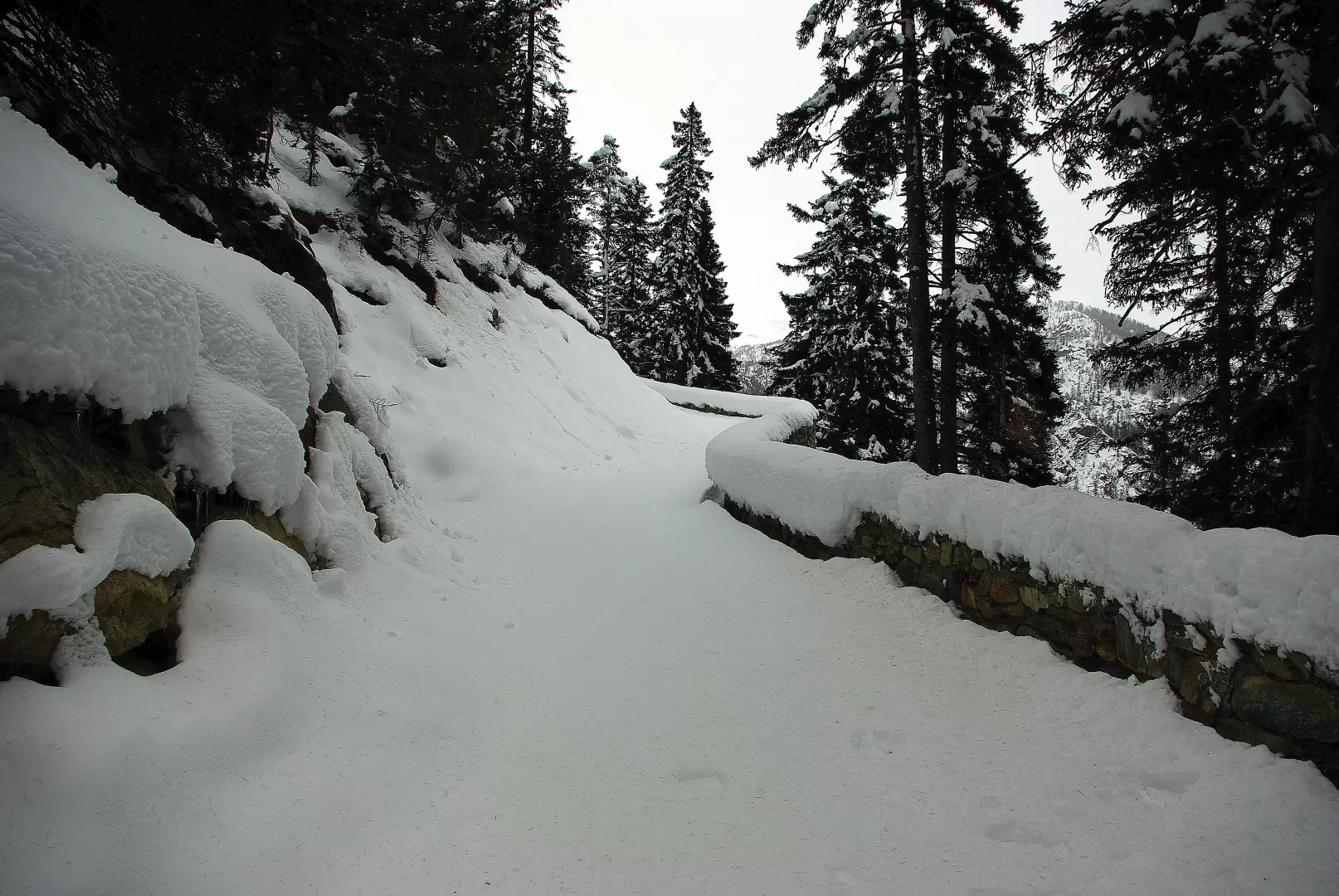
From the Campomoro car park, 1990 m, descend to the dam wall and follow its perimeter until you pass the gatekeeper's house: a sign "ai rifugi" to the left indicates the entrance to a private track that soon leads to the base of the dam. You ignore the numerous arrows indicating the summer path to the Bernina area and continue along the track, slightly to the left: at the first marked bend, an arrow pointing right indicates the direction to Alpe Musella. A slight, continuous descent takes you to some wooden and corrugated metal huts, at the point where a path for Alpe Foppa branches off to the left; continue to the right past the bar that closes the path to unauthorised vehicles. You start climbing again along an overhanging bank of serpentine rocks adorned with menacing ice candles (be careful in hot weather); after a few dozen metres you come to a fork in the road: go up to the right (from the left we will return) and continue for a long stretch through the beautiful larch wood with continuous gentle ups and downs. A couple of steep hairpin bends introduce us to the prospective Alpe Musella esplanade, 2076 m. Having reached the numerous private huts (there are also the Mitta and Musella huts, which are normally closed), head WEST downhill through the fir forest: in places, it is possible to identify the path, but it is still possible to descend to the Alpe Campascio 1844 m esplanade by opening up the track through clearings and corridors cleared of vegetation in the spruce forest. Walk south-eastwards across the entire esplanade, keeping to the left of some rocky boulders (a few painted markers are visible): at its end, where the vegetation thickens, you must spot the free space of a forest track that is very steep at first and then descends again. Walk along it for a long time, always up and down; leave the signs for the Scerscen Gorge to the right - near a bridge - and, just beyond a section protected downstream by a low wall, converge on the section of track at the crossroads initially indicated. From here, follow the outward track up to the Campomoro car park.
.Photo gallery
Comments (0)
Sign in to leave a comment