Piano dei Cavalli, from Starleggia

Edited by:
Marco Bonati
Updated at: 03/09/2024
Access
From Milan to Chiavenna and then to Campodolcino along the state road . From here you take a left - at the parking area of the funicular in the tunnel to Madesimo/Motta - the provincial road to Isola, which you leave shortly afterwards, still to the left, in the direction of Starleggia. In the event of early heavy snowfall, the road is no longer ploughed and the hike is about seven kilometres longer, with no possibility of shortcuts.
Introduction
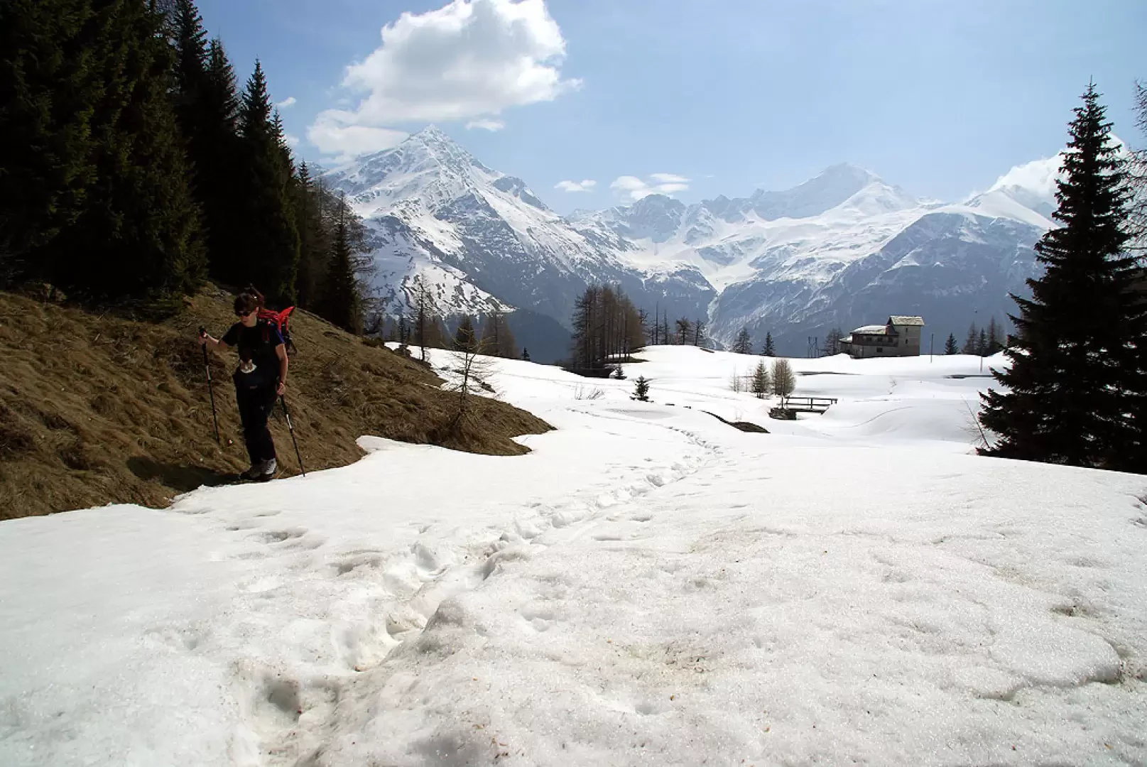
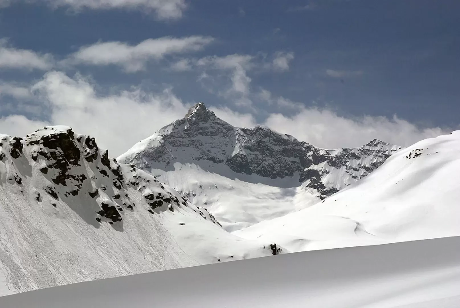
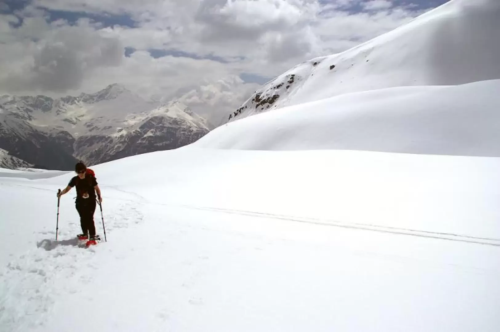
A very interesting excursion from various points of view and depending on the season. In the presence of snow the interest is environmental and scenic: all the mountains of the upper Valle Spluga (Suretta, Emet, Groppera, Stella, Quadro, Ferre', Tambo'). In the seasons with uncovered terrain, your attention is drawn to the flora (in some areas you walk on carpets of edelweiss), but if you want to delve deeper, you can follow the numerous archaeological sites (hunting camps from 10,000 years ago) or browse through unusual geological structures such as dolines, swallow holes and resurgences, until you come to the two main caves in the area: Buco del Nido and Grotta della Ciairina. The excursion, for the route described here, is not convenient with skis, which can, however, be used in many other destinations in the area.
Description
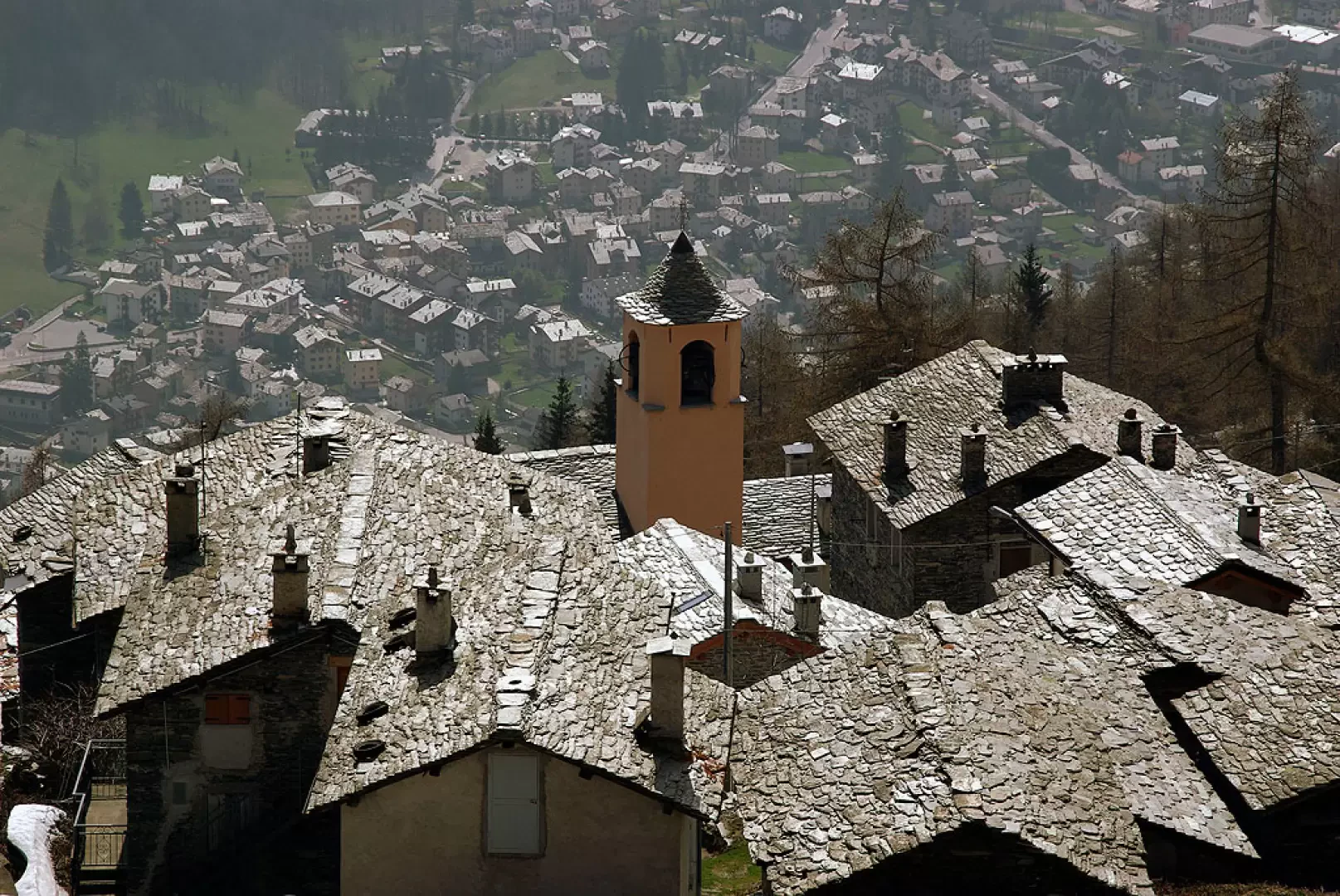
From the small car park in Starleggia (detailed map of the area on a notice board), follow the signs upwards through the village (barns with Walser architecture) until you come out onto steep meadows and, after a wooden crucifix and an aqueduct gate, enter a dense fir forest. One follows it in hairpin bends and soon arrives in the open at a votive chapel and an isolated bell tower. Continue for a few hundred metres and you arrive at San Sisto 1800m approx.: a small hamlet of modernised rustic houses; here, take the path to the right that, having passed the huts of Toiana and Zocana 2006m, leads with a final ascent to the sloping plain of Piano dei Cavalli. The name derives from the long-standing tradition of bringing horses bred in the stables of the Chiavenna plain to the wild pastures: at present, these are mainly examples of the Haflinger breed. From here on, with the snow covering the signs, one can proceed in a westerly direction with a free trail to the final barrier of Monte Bàrdan, which forms a basin occupied by Lago Bianco 2322m, invisible under the snow. The excursion should be avoided in foggy weather, because of the great risk of losing your bearings.
Equipment required: skis, poles, ARTVA, shovel and probe
Galleria fotografica