La Torretta, from Trovinasse

Edited by:
Sergio Enrico
Updated at: 04/03/2025
Introduction
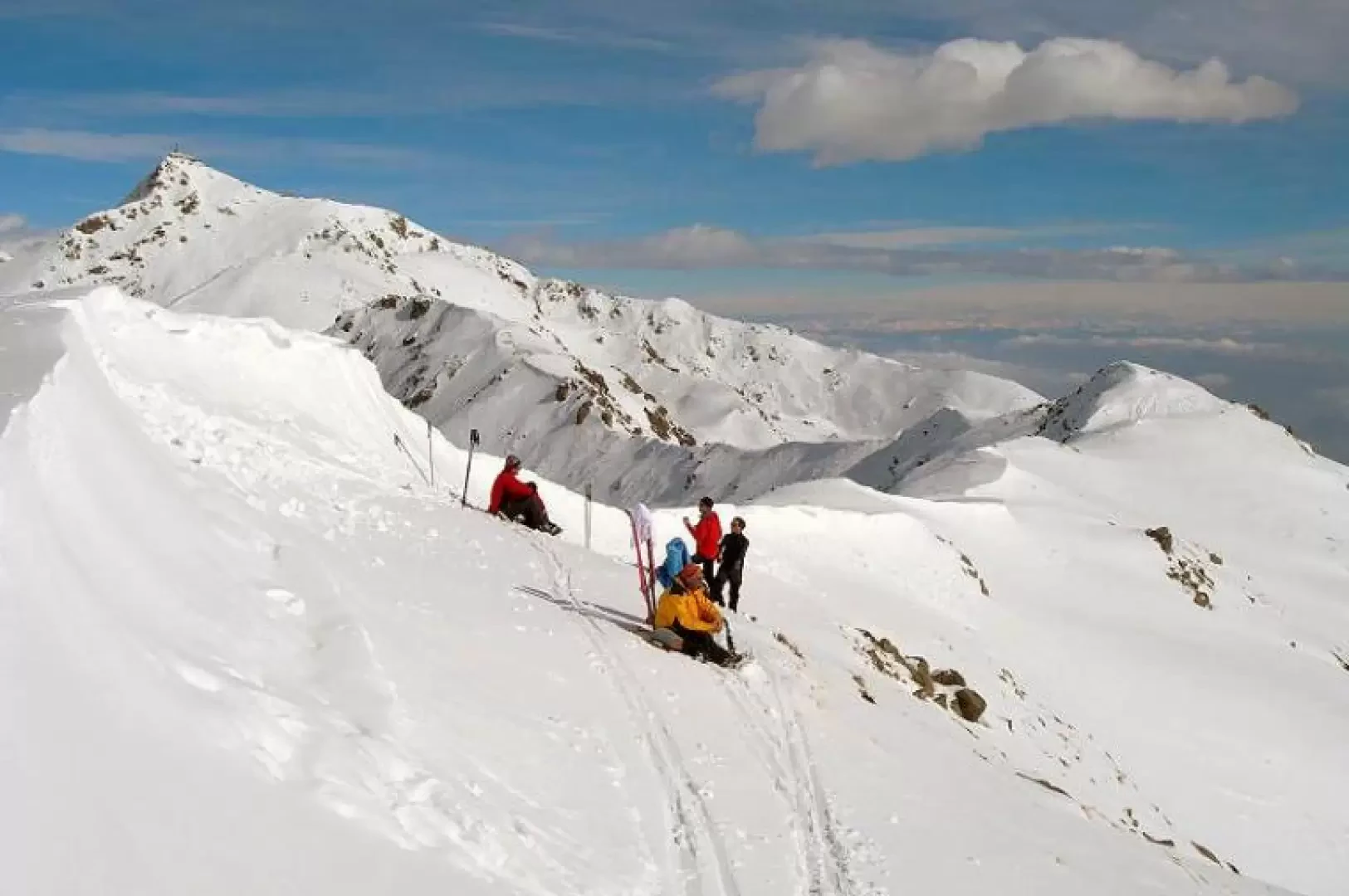
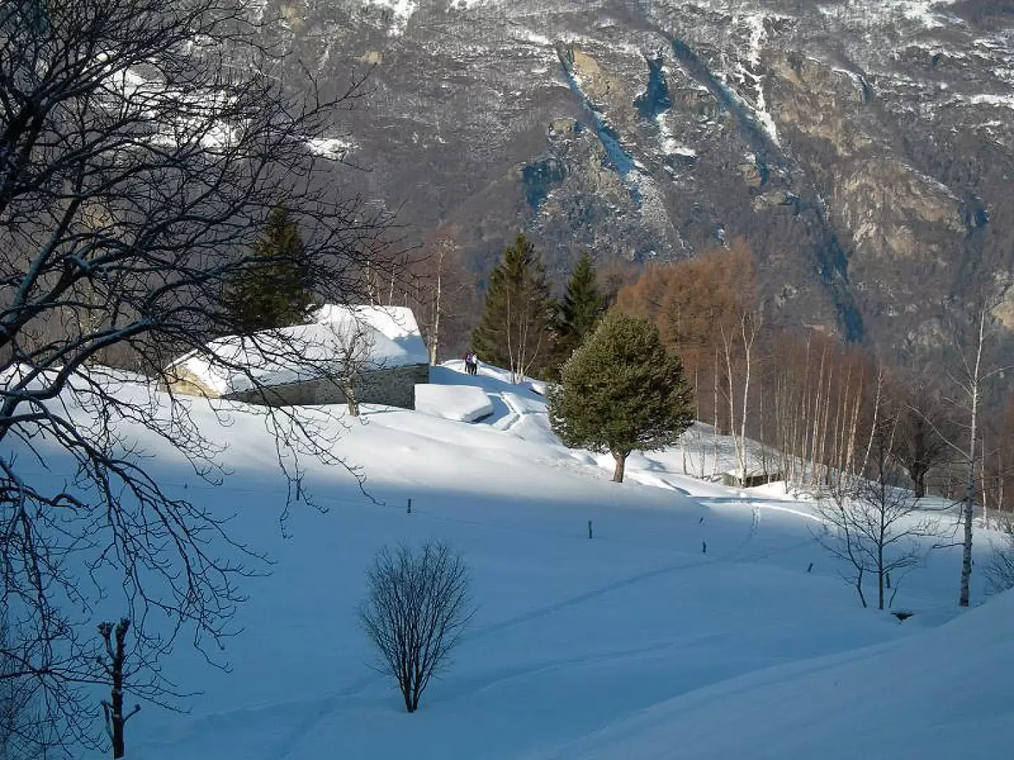
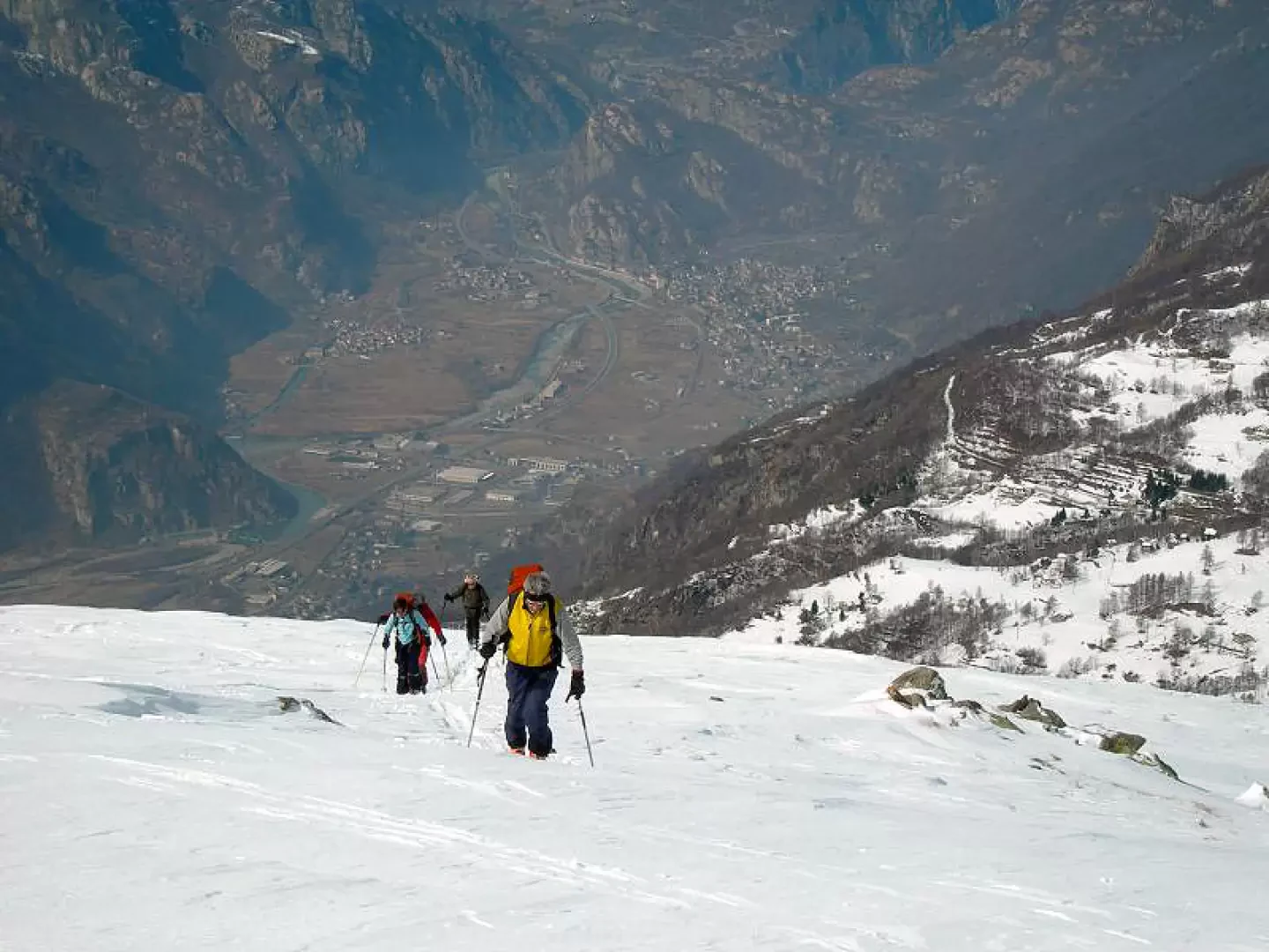
The trip has an excellent western exposure that allows good snow conditions, the view of the Canavese plain is excellent. The ascent environment passes through glades with characteristic Canavese dwellings.
Description
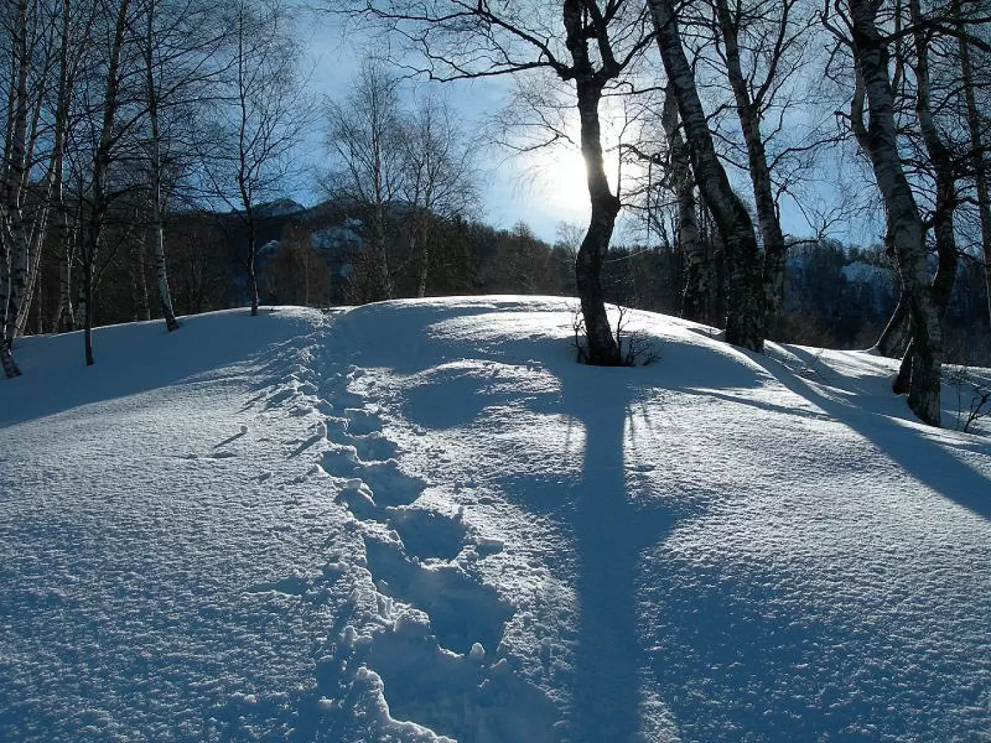
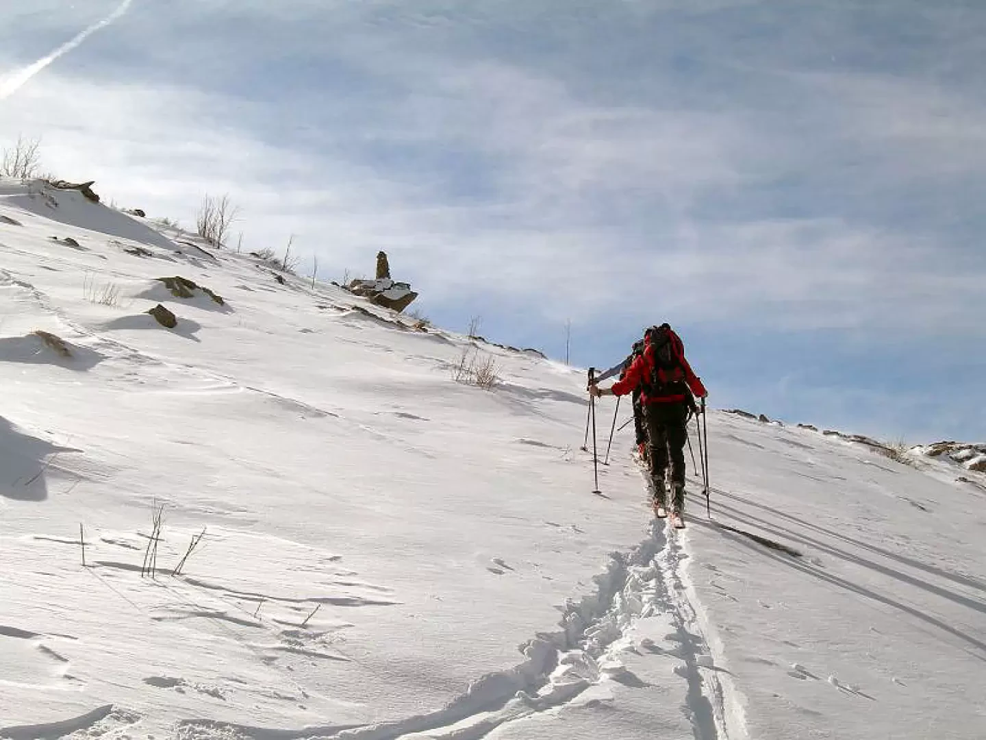
Follow the road until entering the Trovinasse basin. Leave the road and climb to the right along beautiful slopes. Continue between clearings with beautiful groups of houses. At the end of the glades, a steeper band with small alders is encountered. If there is little snow, it is best to keep to the left along the path of the mule track, with plenty of snow on the right of the trees between boulders. You will then reach a first hut. continue without a fixed route to the wide summit. (only one stretch a little below the summit to be walked carefully in case of unstable snow).
.Photo gallery
Comments (0)
Sign in to leave a comment