Strahlhorn

Introduction
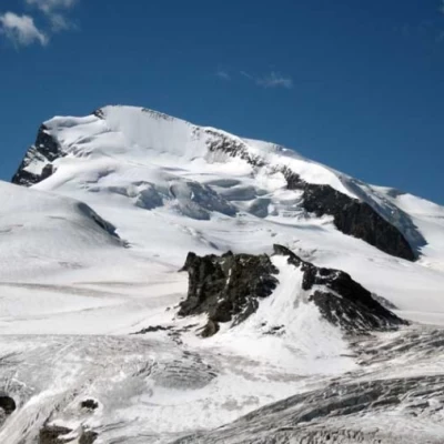
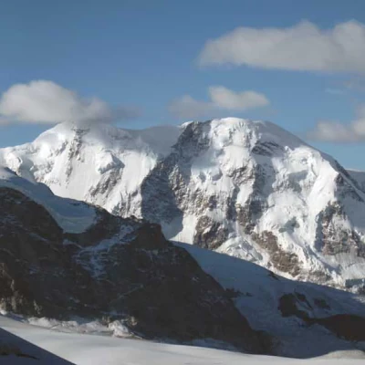
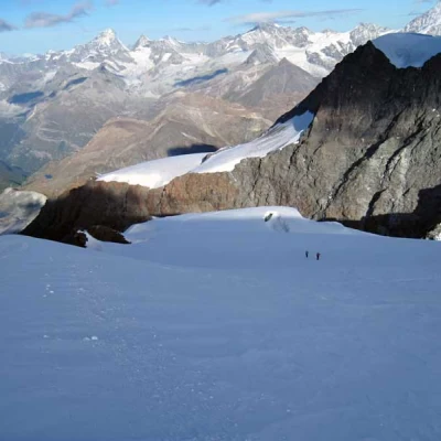
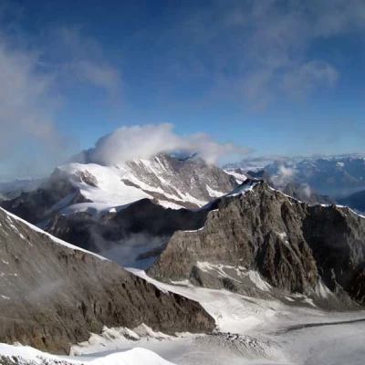
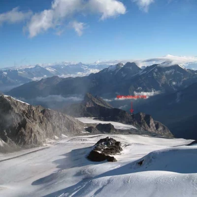
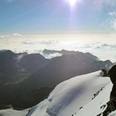
The Strahlhorn is the easiest of the climbs starting from the Britannia-Hütte; although very long (approx. 17 km), its ascent does not present any major technical difficulties and allows you to cross very evocative glacial environments where, however, you must be very careful of the numerous crevasses that are already numerous starting from the first glacier below the hut. The panorama is naturally first-rate and sweeps as far as the eye can see over an infinite expanse of peaks, the closest of which are the numerous 4000-metre peaks surrounding Saas Fee and Zermatt. From the hut, it takes between four and five hours to climb, and the ascent to the col at an altitude of 3138 m and the hut must be taken into account when calculating the height difference.
Description
First day:
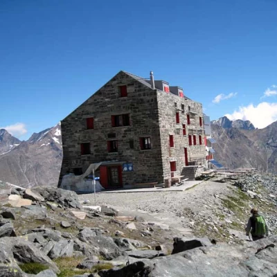
From the arrival of the cable car, take the track that starts right in front and heads towards the slope of ice and boulders; the well-trodden track passes over stony terrain alternating with sections of ice and borders the northern flank of the Hint Allalin. The progression, in the virtual absence of uphill sections, is not tiring, but one must nevertheless pay attention to the various cuts in the ice and the many moving stones. Shortly afterwards, you come to a clearly visible col, where there is the arrival point of a ski lift, from where you continue to the right towards the clearly visible construction of the Britanniahutte hut; after another short section on mixed terrain, you reach the col, where it is located.
Second day:
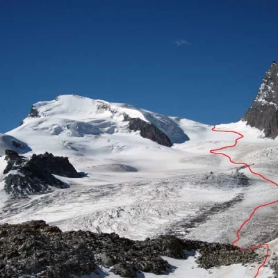
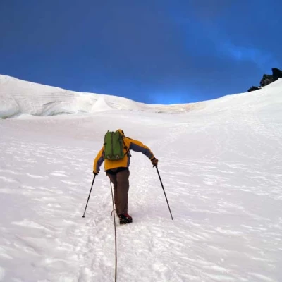
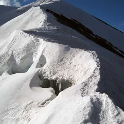
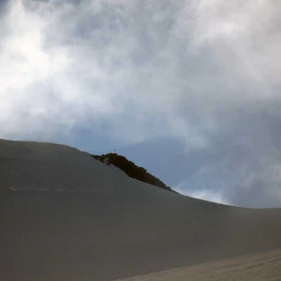
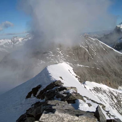
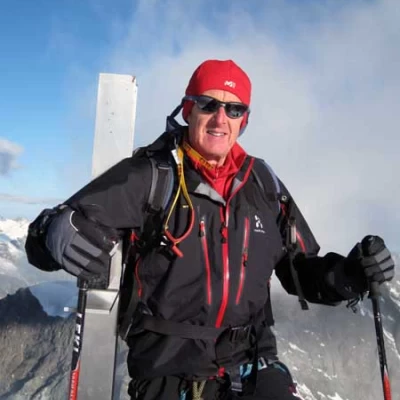
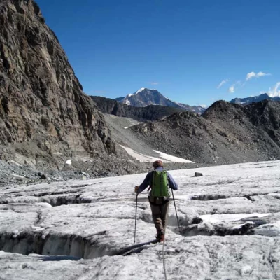
From the hut, take the track to the left of the markers in front of it, which starts at a rock with a blue-white marker. The path descends slightly at first and then heads decisively down the morainic valley, losing almost a hundred metres in height to reach the final tongue of the Hohlaubgletscher. Once you have reached the lowest part of the Hohlaubgletscher, go up the path towards the left, gaining little height and crossing many crevasses perpendicular to the direction of travel, which are more or less open but easy to overcome, aiming at a rocky collar on the lower part of the ridge that descends from the Alallinhorn. When you reach the little stone cairn placed on it (3138 m), descend a little on large boulders to reach a small snowfield, which you cross to reach another col, lower than the previous one (3123 m); from here you have to descend further, losing about one hundred metres in height difference, on a steep but evident dirt track that then gets lost on the rocks below. Having reached the lowest point, one crosses the large stone blocks, ascending slightly and keeping to the left until setting foot on the Alallingletscher. At first, ascend it a little to the right and then turn gradually to the left towards a stony strip at the confluence of the two glaciers (the Alallingletscher and the tongue of the glacier descending from the Alallinpass to the right); cross this short strip of stones and continue walking in a southerly direction, passing a few more crevasses, aiming for a large serac that can be seen on the right at the end of the glacier. Before reaching it, turn left and ascend the slope, which now becomes steeper, with a few wide hairpin bends that take us to the upper plateau; the slope, which has temporarily diminished, almost immediately resumes its steepness in order to climb the chute that leads to the Adlerpass (3792 m) and that is at the lowest point on the ridge that joins Rimpfischhorn and Strahlhorn. From the upper plateau, in order to reach the Adlerpass, you still have to pay attention to a few more crevasses and the terminal that is right next to it. From the little rocks of the col, turn left over a short, sharp ridge and then continue on a ridge that also has a few crevasses; following the sinuosities of the ridge path, you arrive, where the slope decreases a little, near a snowy peak that is on the right. Going around it on the left, one now points to the snowy final ridge where, at its summit, there are some small rocks. Without climbing it again immediately, continue until almost under the small rocks where you turn left and after a wide hairpin bend, stay to the right of the line and follow its final section, which leads to the metal cross on the summit.
