Punta San Matteo, from Rifugio Berni

Access
The starting point is the Berni refuge, just below the Gavia Pass on the Valtellina side, and can be reached by car via Valtellina-S.Caterina Valfurva or via Val Camonica-Ponte di Legno. The road to the Gavia Pass is now all asphalted, but remains very narrow in some sections on the Camuno (BS) side.
Introduction
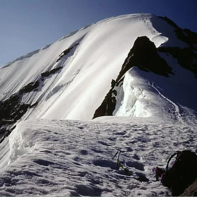
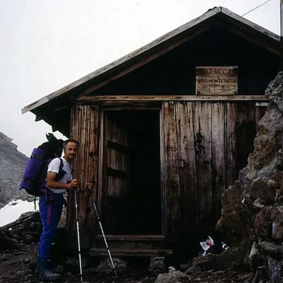
Long traverse by ridge over two days, which allows you to climb to Punta San Matteo, without traversing crevassed glaciers. Only in the last section, if the final SW ridge of San Matteo is not in condition, is it necessary to traverse the entire apical part of the Dosegù glacier on the left to take the NW ridge of the mountain (normally well-pisted), however along gentle slopes normally free of crevasses. It is quite a demanding ascent due to its length with some ups and downs, the difficulty (numerous steps of II), and the isolation (PD). While the normal San Matteo route, via glacier Dosegù, is normally frequented, here you will rarely meet anyone. The base is the Bivacco Battaglione Ortles bivouac, a remnant of the '15-'18 war and renovated, which is always open. Remnants of war can be found in various parts of the ridge.
.Description
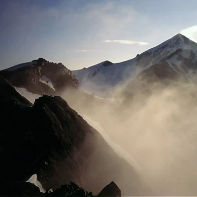
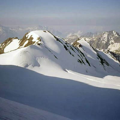
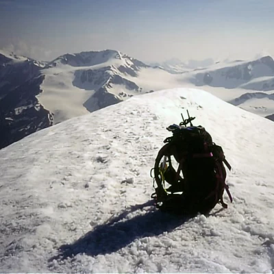
Park the car next to the Berni hut, go down to cross the Gavia gorge and then go up the opposite side; you can go up along the high path without going over the suspension bridge (dell'Amicizia), and continue on the right into the Valleumbrina gorge. At the top, without reaching the pass, you turn left and reach the Bivacco Battaglione Ortles bivouac located on the ridge (note there is no water, take it at the last snowfall). The next day, follow the entire crest, possibly cutting across the E side of the first peak (Cima di Valleumbrina) and then passing in succession Pizzo Valleumbrina (3224 m), Cima Villacorna (3452 m) and Monte Martello (3517 m), with numerous ups and downs and rocky passages (II) interspersed with detrital or snow-splattered stretches, reaching the base of the final SW crest of San Matteo. If this is not in good condition, traverse the entire base of the mountain to the left, reaching the NW ridge at the collar between S. Matteo and Dosegù (watch out for crevasses in this section: there is normally no track). The ridge is steep but normally well traced and gives no problems whatsoever, after circumventing the first rocky section on the right. Return by the same route.
.