Uschione and Lotteno

Edited by:
Marco Bonati
Updated at: 10/05/2026
Access
Introduction
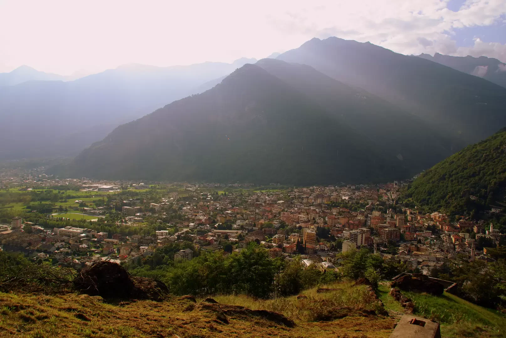
Convenient pedestrian route that traces the ancient road between the town and its nearest hamlets. At present, Uschione can also be reached by a carriage road that climbs up from Prata Camportaccio, but fortunately any vehicle - including those of the residents - is forced to stop only a few dozen metres from the inhabited centre, which remains preserved in its original structure.
Description
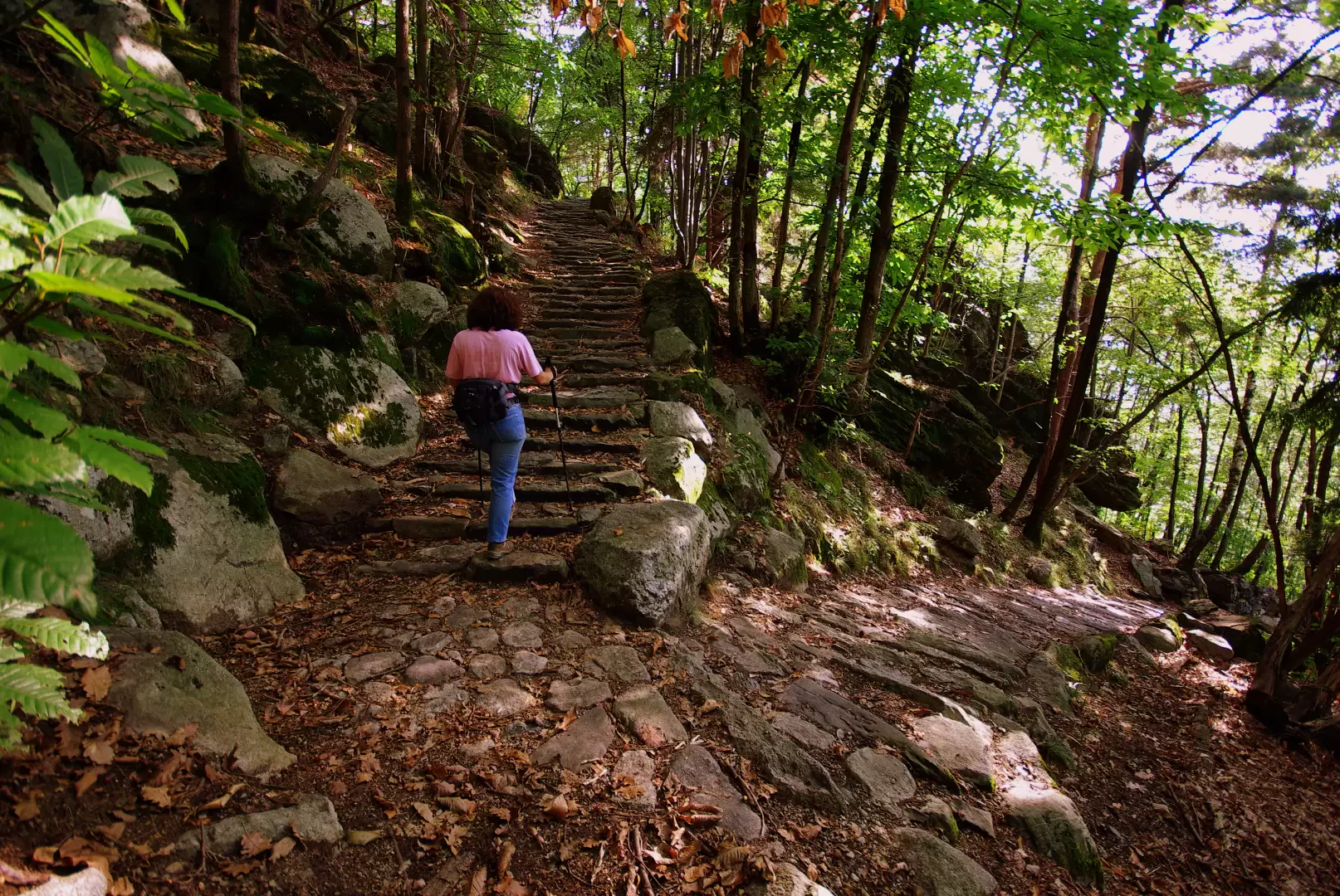
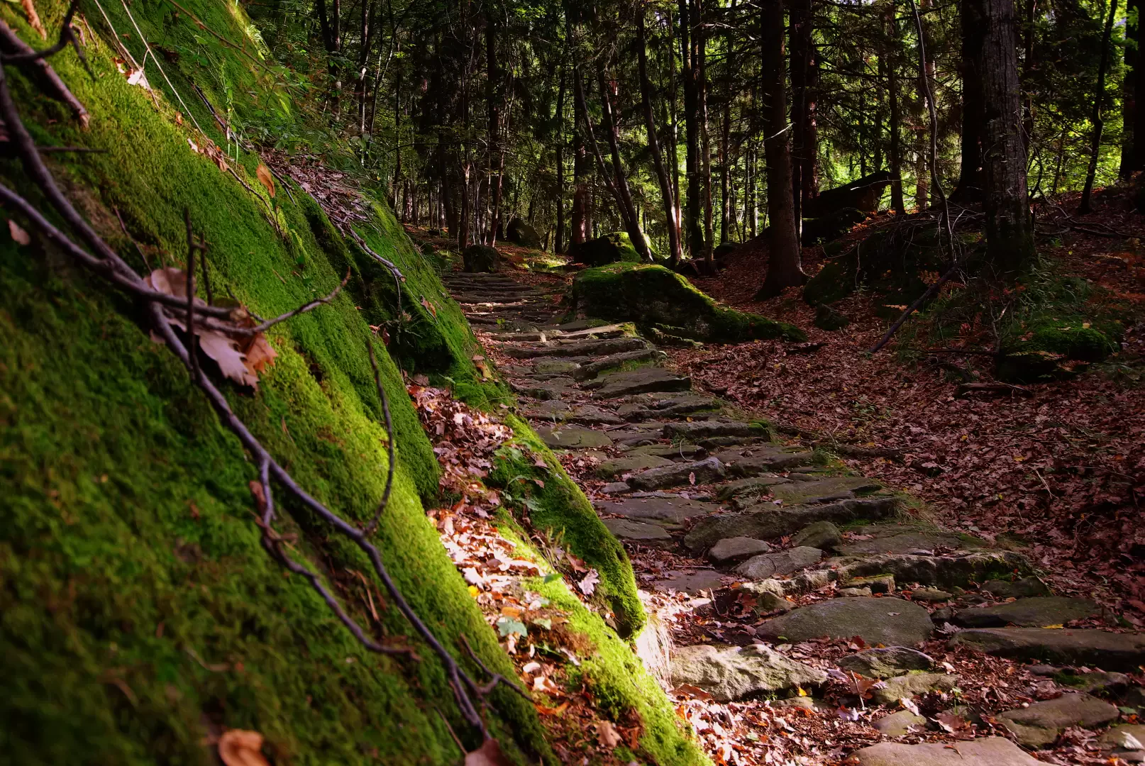
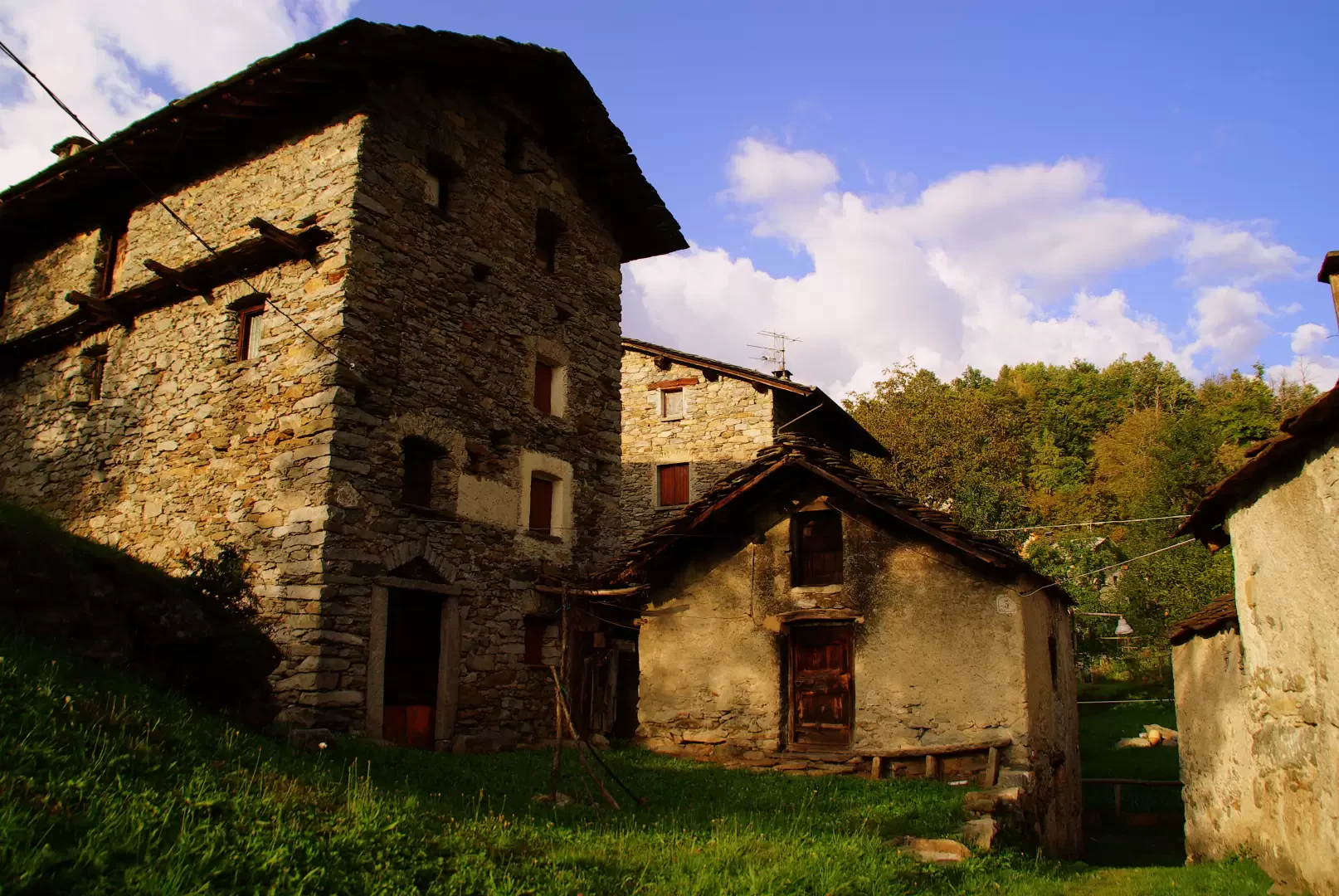
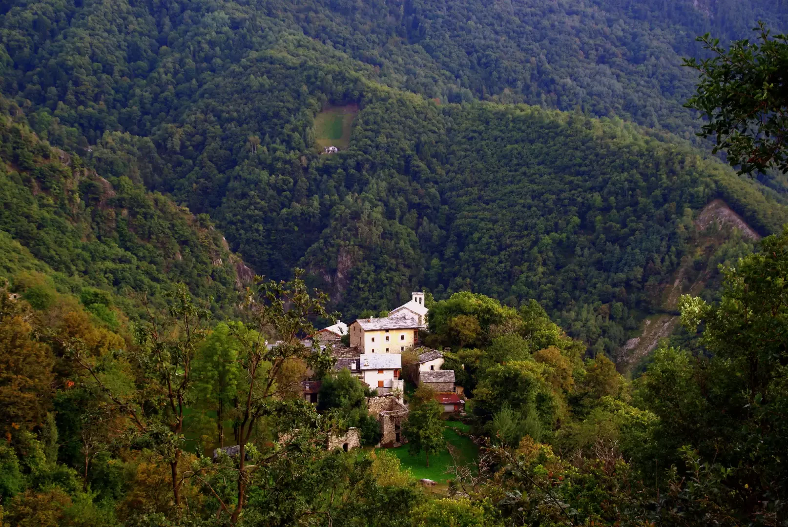
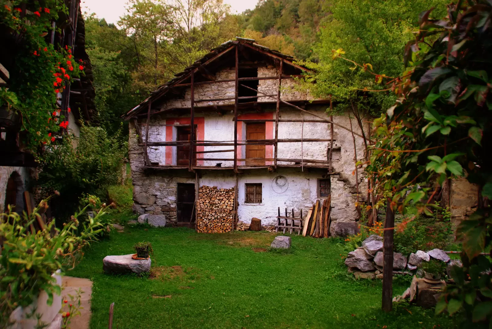
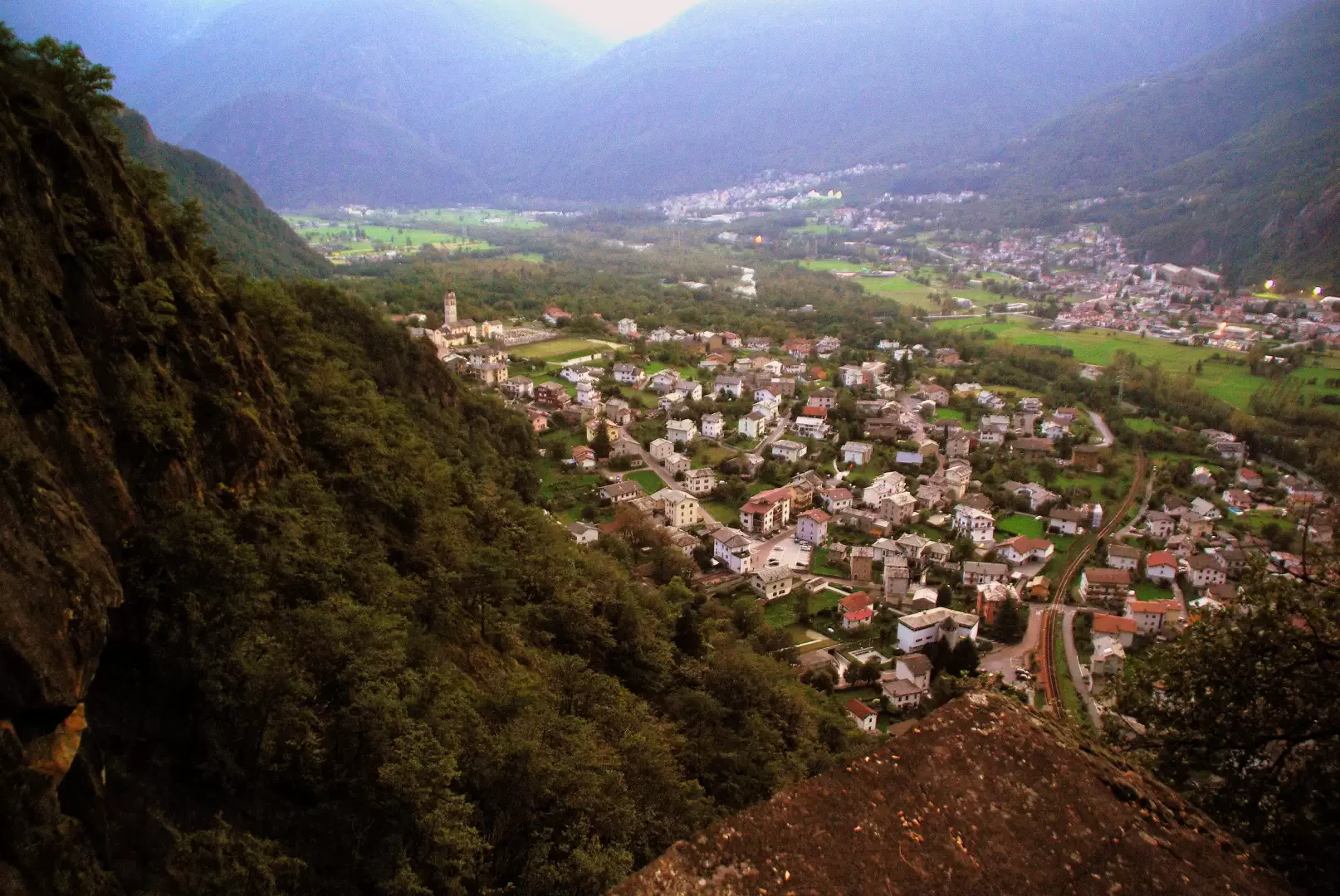
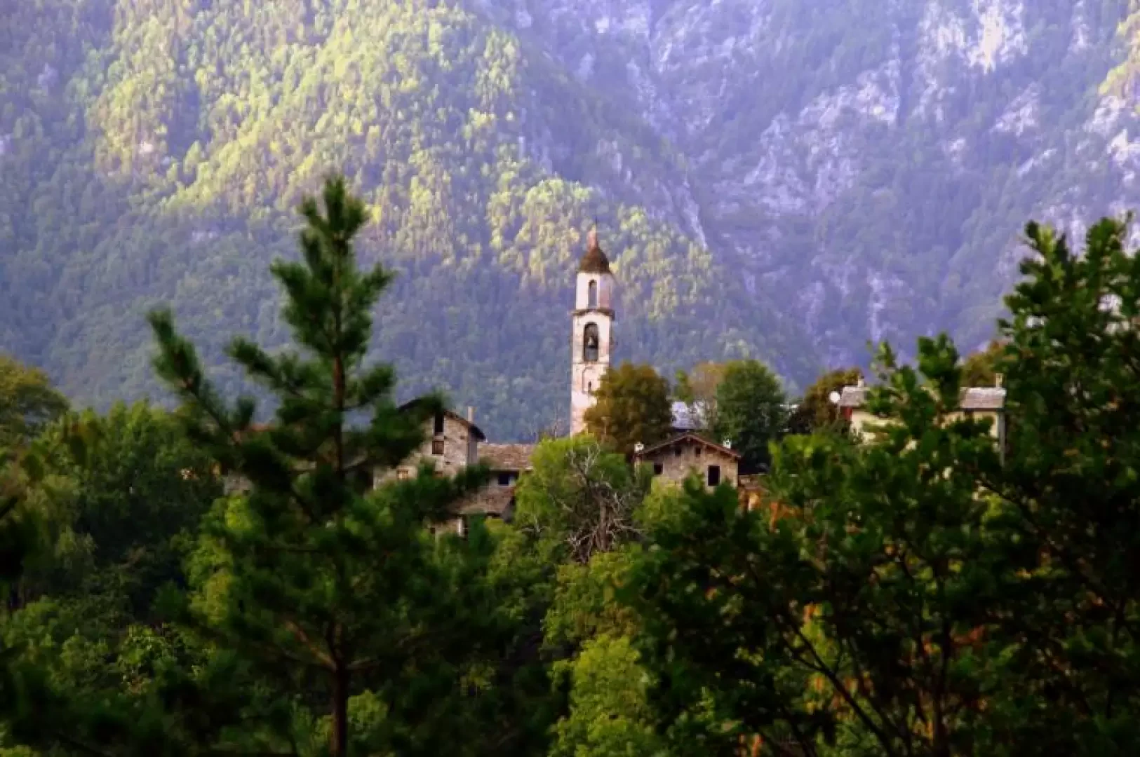
From the car park, passing in front of the crotti, take the road to the right further uphill, following the signs for the cycle track. At the first fork in the road, go up the carriage road to the left for the "Deserto" (former "Don Guanella" institute, now a hostel): just at the entrance gate to the building, the track for Uschione begins on the left. This is a splendid mule track, very well preserved, with cobbled steps, that climbs the shady and mossy forest, alternating hairpin bends with steep ascents. Along the way you will come across the junction for Dona (return route), a belvedere square overlooking the centre of Chiavenna and a suggestive section between the boulders of an ancient landslide. After about an hour, you arrive at the meadow basin where the village of Uschione 832 m lies (no longer permanently inhabited and divided into three small hamlets). From here, following the signs, climb up to reach the asphalted road that leads to the bottom of the Prata Camportaccio valley. It is necessary to be very careful to take the path to Lotteno: follow the road downhill until you pass, in this order: - a bar prohibiting access to unauthorised persons; - a rock slab used as a climbing wall; - the dirt track for the "Belvedere"; a little further down the valley, on the left, you will find a small valley: at its southern end, you will find the signs in paint. The path, which is not very evident, runs diagonally along the slope, reaches a hump and then descends towards the meadow and the abysses of Lotteno 654 m. [Not being able to find this path, it is sufficient to continue downhill on the asphalt road to the first fork in the road: a few dozen metres uphill allow you to reach the village]. Not far from a dwelling with an old "osteria" sign, a small pole indicates various destinations: we must choose the steep descent to Prata; the mule track descends into a damp little valley until it reaches some restored huts: we leave it to take a small path to the right that, on the level, soon reaches the Prata-Uschione road again near a hairpin bend. We follow it downhill to the next hairpin bend at Dona, where the path to Chiavenna begins again. A first steep uphill section leads to the hump that dominates the few houses in the hamlet; from here the path descends with a single traverse - exposed in places - that offers a very panoramic view of the Prata-Chiavenna agglomeration. Through the steep forest, encountering dry stone walls of abandoned terraces and the remains of a service stairway to a hydroelectric pipeline, you reach the junction encountered on the way just above the "Deserto". From here it is a short walk back to the crotti di Pratogiano.
.Galleria fotografica