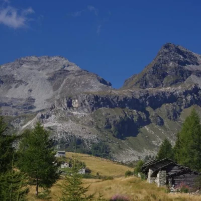
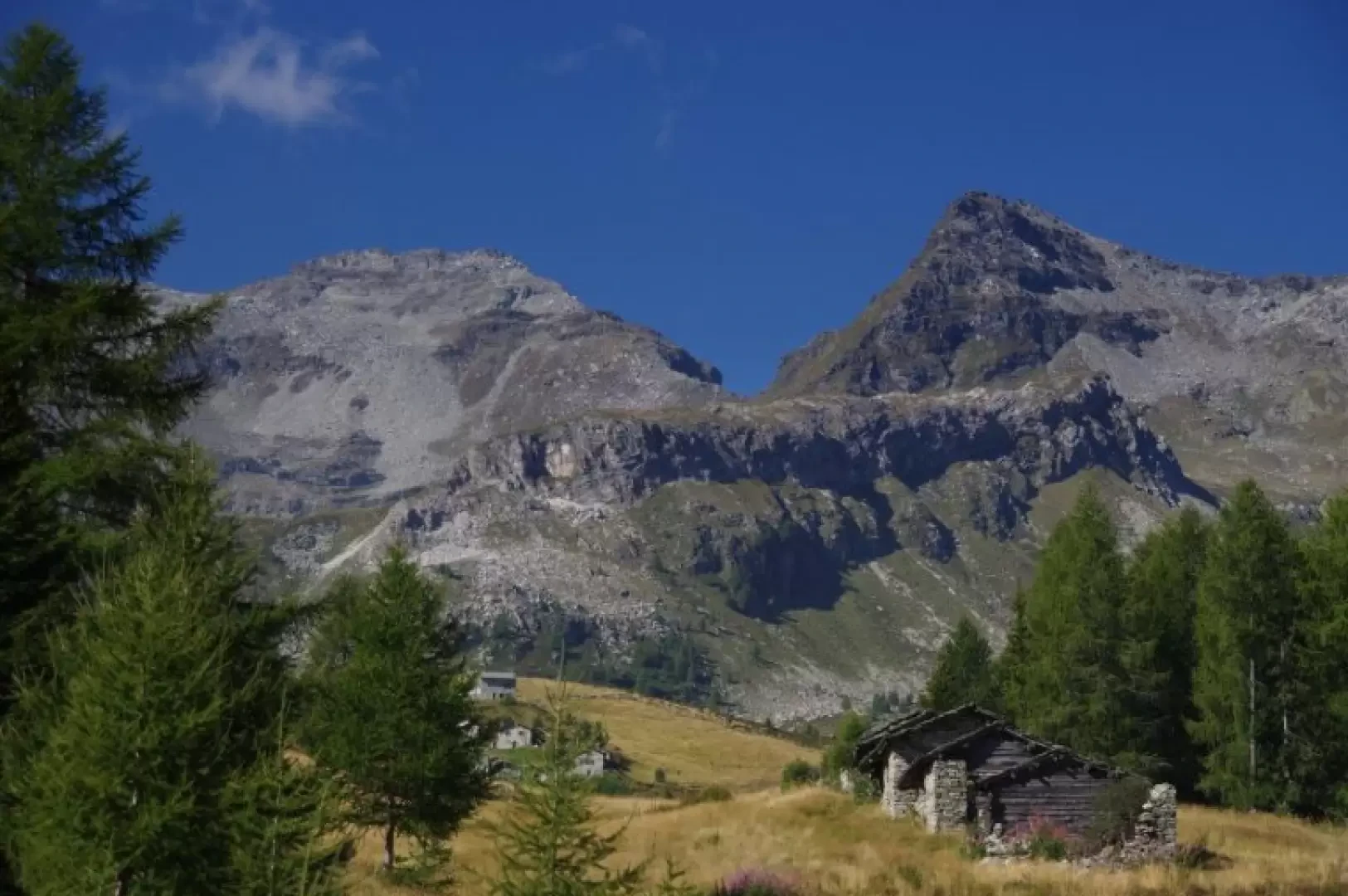
Cima di Verchenca, from Starleggia
Access
From Milan to Campodolcino along State Road 36; past the large parking areas of the funicular to Madesimo, turn left towards Starleggia. Having reached the small hamlet, at the end of the asphalt road continue on a good dirt track for a few hundred metres until you come to a widening. Parking is no problem.
Introduction
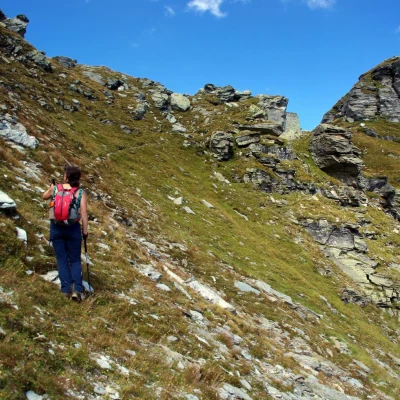
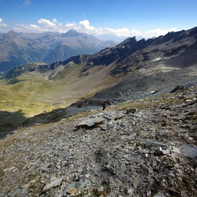
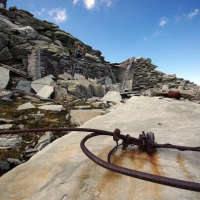
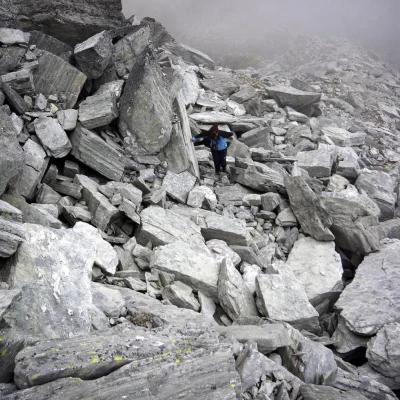
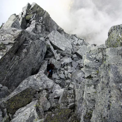
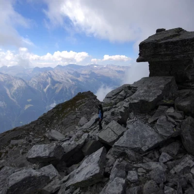
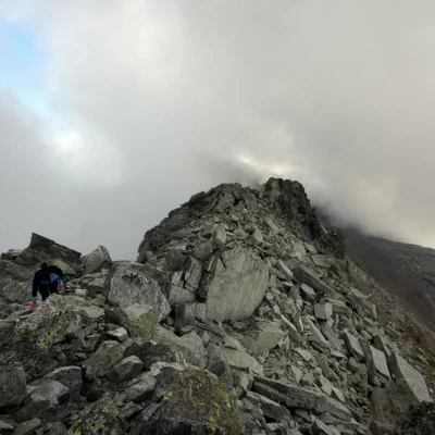
This is a very simple ascent bordering on hiking: the quality of the terrain - unstable and landslide- makes it necessary to have instinct and experience in choosing the route and individual passages. The reason for this is linked to the abandoned mining activities on these peaks: 17 quarries for building stone were cultivated in the area, and the repeated use of mines has definitively destabilised the summit structures (an entire rock pillar collapsed in the early 1990s from the nearby Pizzo della Sancia). The panorama is very wide, extending from the Bellinzona plain to the mountains of the Swiss Val Calanca and all the peaks of the Valle Spluga.
.Description
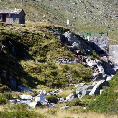
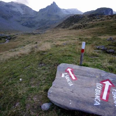
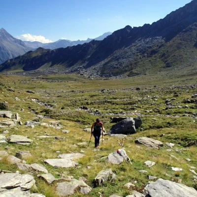
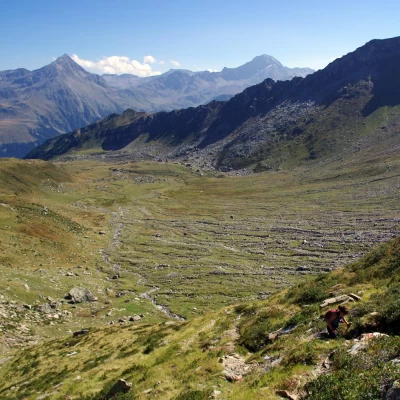
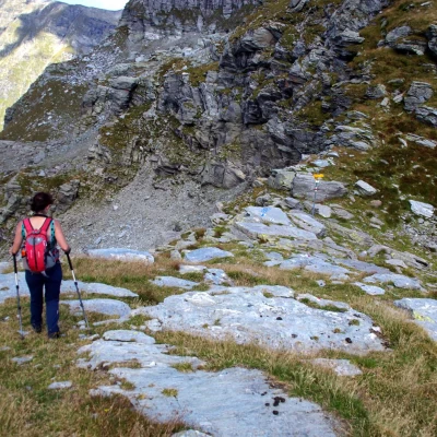
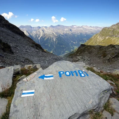
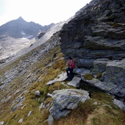
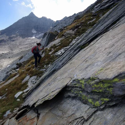
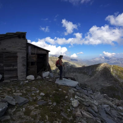
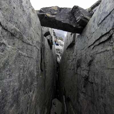
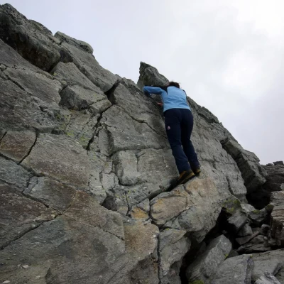
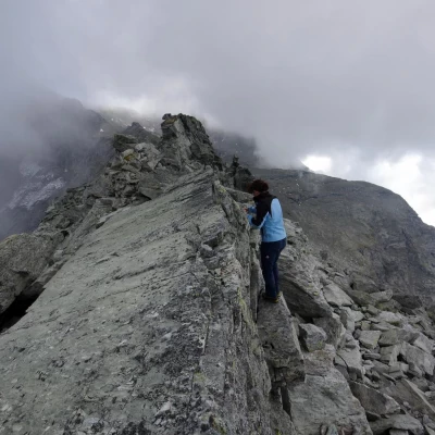
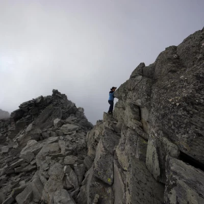
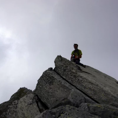
From the 1560m parking area, continue along the barred forest track (access permitted only to members of the consortium) and follow it almost to the second - double - bridge (it is possible and useful to use a shortcut to the right just beyond a first bridge). To the left of the bend preceding the two bridges, a marker ("Valle della Sancia" and "Biv. Ca' Bianca") indicates the path to follow: in a short time, you will reach the huts above Morone 1860m and you will already be able to see the continuation of the itinerary. From the buildings, climb up to a rough mule track that cuts across the slope of alders and rhododendrons and leads to the beginning of the vast upper shelf of the Sancia valley. Keeping to the left edge of the small valley crossed by the stream, you reach the buildings of the water intake of the Campodolcino hydroelectric pipeline. You descend to ford the wide watercourse easily and, on the other bank, look for a boulder with painted markings (near a white/red painted picket): choose the left direction and walk along the stony pastureland of the valley floor. Having started the real ascent, between bumps and valleys, you approach the Sancia pass at 2580m, which you reach from a little above to the left: here begin the Swiss signs and - above all - an unusual mountaineering path (blue/white signs, no trace) crossing along this section of the border. Follow these signs to the left until, high up on the ridge to the right, a wooden pylon of an old cable car is visible: leave the signs and climb on sight to the ridge, where you reach the remains of a 2750m quarry. A small open building still stands, only for emergency use. By now on the ridge - here still very wide - one laboriously climbs the accumulations of blocks upstream of the former quarry, taking care to avoid wide cracks in the ground - similar to crevasses and equally treacherous -. Choosing the most comfortable passages, one aims at a sort of tower of stacked boulders, which is reached from the right along a vertical gully. At this point, you have reached the long summit ridge of Cima di Verchenca 2872m: beyond a curious vertical crack in the shape of a trench, you climb a short paretina (II) that leads to the culminating slab.
Return along the outward route.
