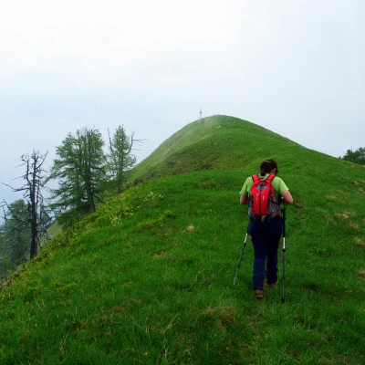
La Cima - Testa del Mater - La Forcola, from Fondo Li Gabbi
Access
From Milan to Domodossola along the motorway and the dual carriageway; continue briefly in the direction of Simplon until the Masera - Val Vigezzo exit. Take the provincial road to Malesco: go through the centre of the village in the direction of Cannobio and, behind the church, turn right into Via Laurasca, which leads to Val Loana. Go up the beautiful valley to just beyond the Chapel of Sasso Broglio: if you continue carefully, after a few hundred metres, you will notice on the left the steep start of a marked path. Park a little further on in the limited spaces near a bridge.
NOTE: in summer, no access for private vehicles and public shuttle service from Malesco. On foot approx. 1 hour.
Introduction
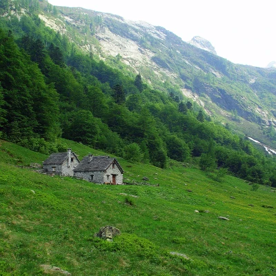
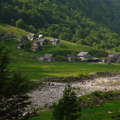
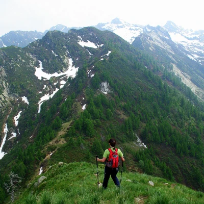
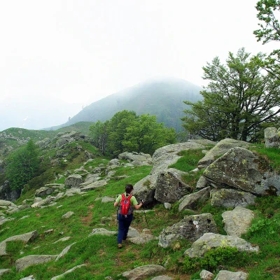
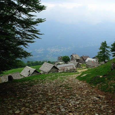
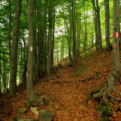
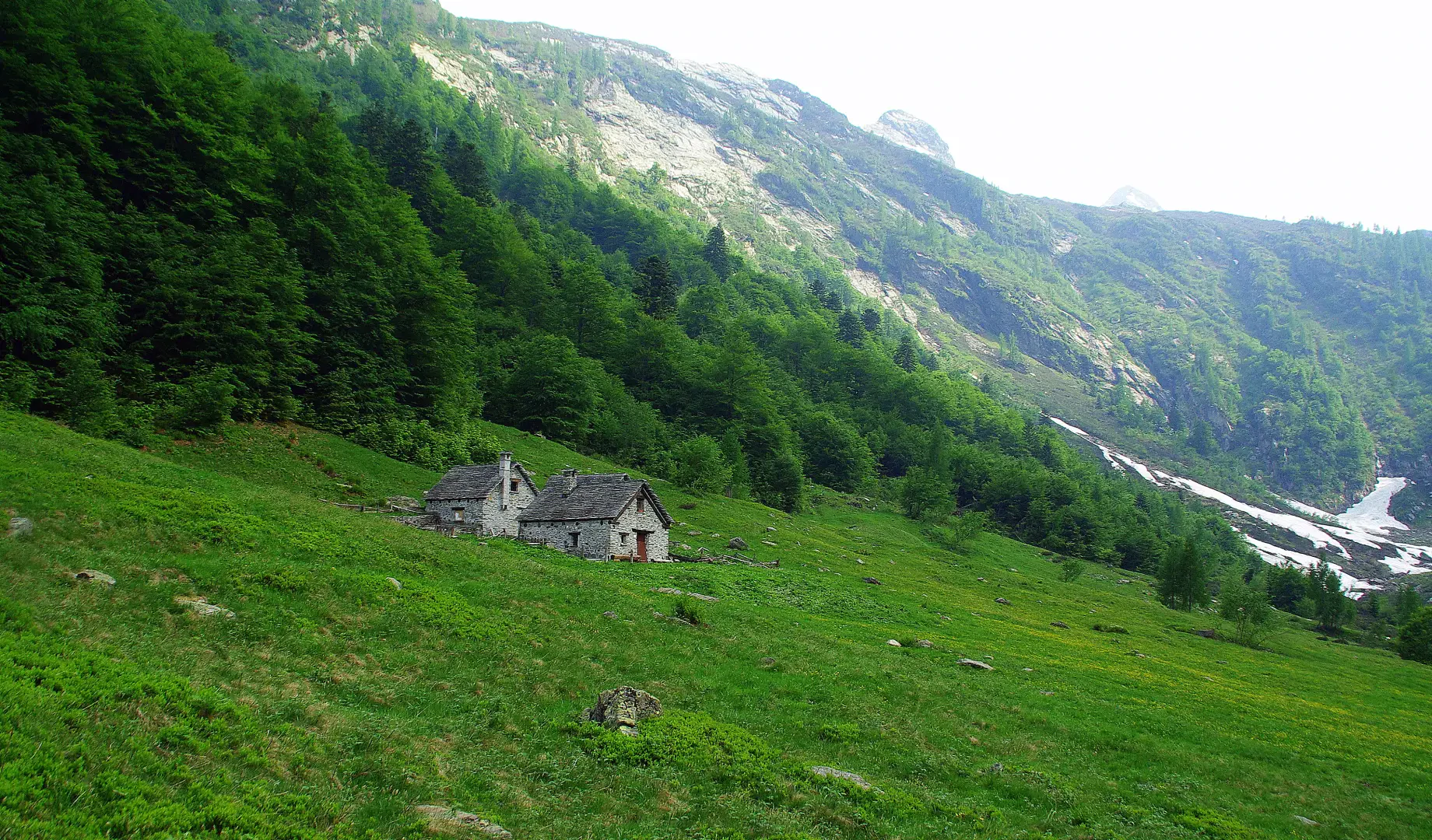
Beautiful loop hike that, running along the ridge between Val Loana and Val Vigezzo, allows a circular view of the mountains of the Valgrande Park, the Valais peaks and beyond to Monte Rosa. One crosses marvellous tall beech forests and extensive blueberry and rhododendron thickets, an ideal breeding ground for the black grouse. At high altitudes, we encounter ruined alpine pastures, but at the bottom of the valley, near Fondo Li Gabbi, we can see a resumption of pastoral activity that is also well directed towards the recovery of original structures.
Description
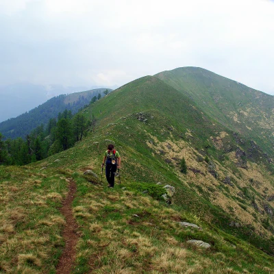
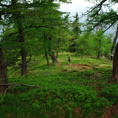
From the car park approx. 1100 m, head back along the road for a few steps to the start of the path noted at the finish. The ascent among splendid beech trees is regular as it progresses in hairpin bends through the luminous forest: with only the brief interruption of the crossing of the new forest track, you reach the wide meadows of Alpe Cortino 1477 m. Still following the clear signs, take the path behind the highest houses of the alp (waterworks) and begin to climb steeply through a sparse larch forest: gradually the slope narrows from a wooded shoulder to a crest of pastureland, and you come within sight of the metal cross of Cima 1810 m. The path, with gentle ups and downs between grass and a few rocks without difficulty, leads to the base of the short rise of Testa del Mater 1846 m; from here, the continuation of the excursion is evident: still on the crest (or along a well-marked track on the eastern slope), you descend to a depression in the pastures and then, with a long, gentle climb, you reach the culminating point of Forcola 1850 m (? - probably a little more). From here the descent begins, and immediately the most delicate section is tackled: although it never reaches alpine difficulty, the path descends tortuously between steep rocks to the notch of the Bocchetta della Forcola; with no more obstacles, two ruined huts are flanked and then the valley floor is reached through a mixed deciduous forest. At Alpe Loana 1377 m there is a farm track that leads to the beautiful houses of Fondo Li Gabbi: from here, following the tarmac road for several hundred metres takes us back to the parking point.
