The Balcony of Nervi

Access
You can get there by public transport (line 15) in the Genoa Nervi district by getting off at the stop opposite Piazza Duca degli Abruzzi or by train (from the station, go up Viale delle Palme and left onto Via Oberdan).
Description
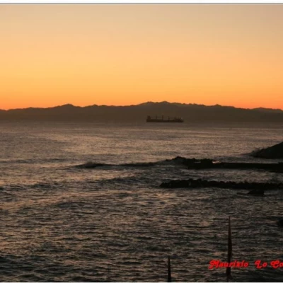
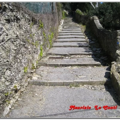
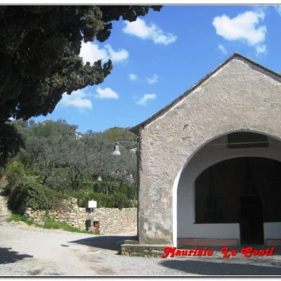
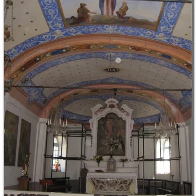
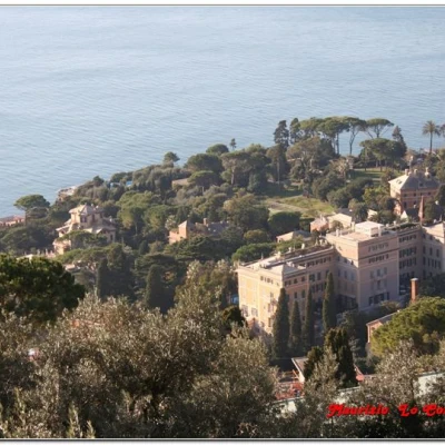
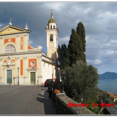
From Piazza Duca degli Abruzzi, in front of the Nervi delegation of the municipality of Genoa, take the very short Via Vosgi (open to cars) and, immediately, you will find Via Somma (road crossing with traffic lights). Opposite, you will see the old ISC signs (note 1) directing you to the Morelli stairway, which, between narrow walls, quickly gains height. In 10\15 minutes, one reaches a first fork in the road, with a wash-house. One chooses via S. Rocco di Nervi, which climbs between small houses, gardens and high walls. At a new crossroads (10\15 minutes), you will come across the 2 full red triangles of the FIE (Federazione Italiana Escursionisti), coming from via Vassalli and salita Gabello, and the indications for the 'Cammino dell'Alleanza' (note 2) represented by two blue marks (sometimes one). There is also a blue dot in a white rectangular field (note 3). The path is paved, less and less steep, with the panorama opening up towards the sea and the coastal towns. Another 10 minutes and you come to a wide open space, where the small 19th-century chapel of S. Rocco (206 m above sea level) stands. In the past, it was a secluded and almost solitary place, but now, with the widening and opening of the road to cars... it is no longer so... In the small square, there is also a centuries-old memorial stone, a fountain and some large cypresses. After a short break, we set off again, abandoning the FIE signs (note 4) and those of the ISC, which continue straight uphill. We take the widened street to the right, on the level and on the sea side. Once called Via Gattego, in July 2009 it was named after N. Massa, and Via Gattego begins just a few dozen metres ahead on the right. The view of the coast is really wide, and at the following crossroads we first keep to the right (abandoning the new road for a slightly downhill track), then to the left (via Gattego), and then straight on, crossing a small bridge (all in a succession of vegetation, strips of land, houses and well-restored cottages). We now follow via Noffi (on the level and then uphill), which ends on a paved road, leading to the Church of S. Ilario, at an altitude of 185 (15\20 minutes). We pass the terminus of the AMT line no. 516 and, from the side of the consecrated building, continue straight on via S. Ilario (open to cars) and, at the end of the square, we find the 'creuza', downhill, via Superiore to the Church of S. Ilario, which then comes out at a crossroads. One does not take via Penco (note 5), but descends on the steps to the right and, in a short time, passes via S. Ilario, which, however, one does not cross. Instead, one chooses, immediately to the left, via Fontanin, which further on forks. From here, turn right into via Pozzi and quickly lose height, between high walls, leading to the Aurelia (15 minutes). You cross over the crosswalk and continue on Via Aurelia, which then becomes Via Capolungo. Finally, you cross Via Romero, which, on the left, leads to the final stretch of the seaside promenade, from where you can zigzag through the park to the railway station in the riparian centre (15-20 minutes).
More info at the links http://escursionismogalliera.xoom.it/idea/07.pdf page 3 http://escursionismogalliera.xoom.it/articoli/nervicamogli.pdf and also at http://escursionismogalliera.xoom.it (note 1) Red-white rectangular flag divided into two triangles with ISC inscription. The historic Colombian 'ISC' route is almost 20 km long and links Quinto to Terrarossa in Fontanabuona. It was re-established on the occasion of the 500th anniversary of the discovery of the Americas, but is currently not maintained... (footnote 2) The 'Alliance Walk' had started as a collaboration, throughout Italy, between the Alliance Insurance and the Italian Hiking Federation, with the patronage of the Ministry of the Environment. Some 800 km of trails had been recovered in this way. In Liguria, there were two separate tours: The Poets' Path (between Portovenere, Lerici and Bocca di Magra) and the Balcony of Genoa (from Genoa to the Scoffera, returning towards Nervi). With the end of the sponsorship, the project was unfortunately shelved... (note 3) The symbol is dedicated, as an approach, to a canyoning route and goes past the chapel of S. Maria Maddalena, in about 50 minutes from San Rocco di Nervi (another 20' for the small lakes and the beginning of the cayoning route). (note 4) The mule track, marked with two full red triangles, heads along the ridge towards the summit of Monte Cordona, at an altitude of 802, in about 1h30 - 2h walk, medium difficulty, one way. (note 5) From Via Penco, then keeping to the right into Via Lastrego, della Zuccona and Armanna, you arrive in 25/30 minutes (almost flat and then downhill), through a series of creuze, at Bogliasco (for the return journey, it is advisable to obtain a ticket for a kilometre band for the trains before the trip, as it is very difficult to find them in Bogliasco on holidays). This is the so-called VerdeAzzurro route, described in detail in a UnionCamere publication of many years ago, which is still valid, however, for preparing the various outings. NB: in the event of an excursion, always check with FIE, Cai, any park authorities or other institutions, pro loco, etc., that there have been no changes that have increased the difficulties! No liability is accepted. This text is purely indicative and not exhaustive.
.