Shelter in the fair winds, from Agueta

Access
From the Arenzano (Ge) tollbooth, turn right towards Cogoleto and then turn right past the hospital (via del Giappone). Continue and, shortly afterwards, turn left at a crossroads, steeply uphill (via Pecorara), which then becomes very narrow. At the first crossroads, go first to the left and then to the right, ascending rapidly. At the next crossroads, always keep to the right and park when the road widens (loc. Agueta, restaurant on the right).
Description
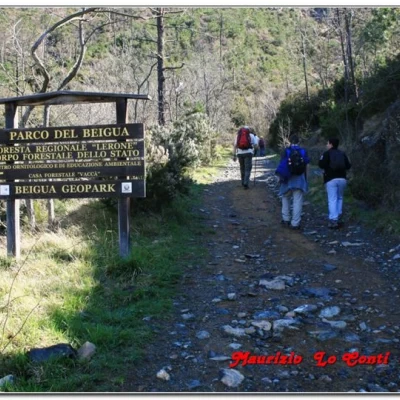
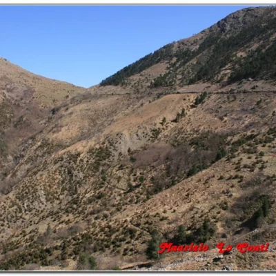
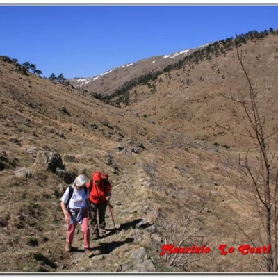
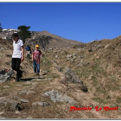
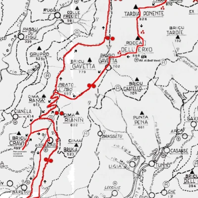
We set off from Agueta (270m), walking up the main, tarmac road to Curlo, where there is a picnic area. Here, one climbs with the two red marks and, afterwards, one ignores the detours to the left and right to continue on the wide forest track (for a stretch also reduced by the red A in a white field). The signposted path sometimes cuts across the hairpin bends, but it is preferable to use the white road, so as not to miss the fork later on... In about 1h, you arrive at Prau Liseu (an ideal spot for a short break), from where the nature trail proceeds without Fie markings.
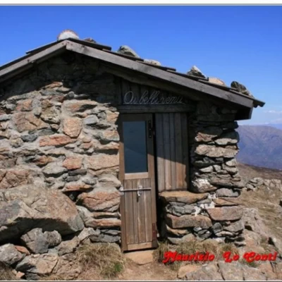
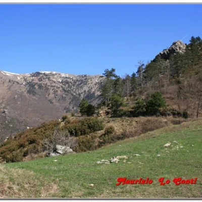
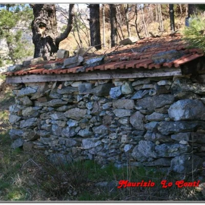
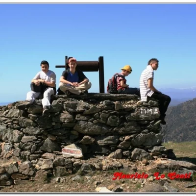
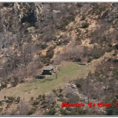
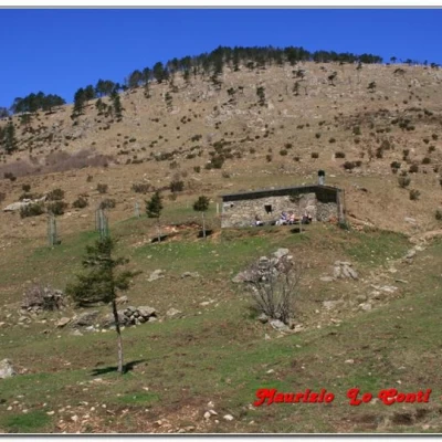
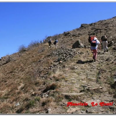
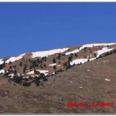
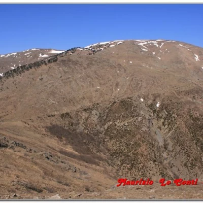
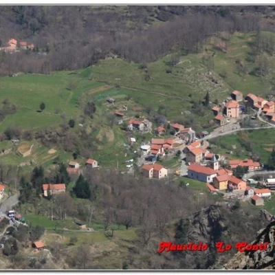
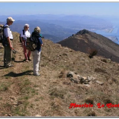
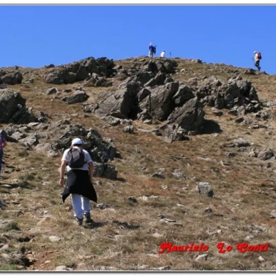
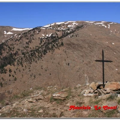
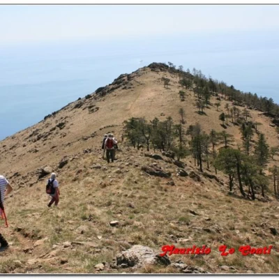
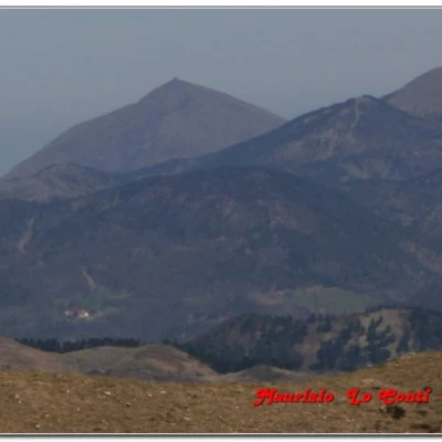
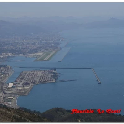
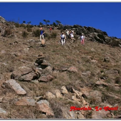
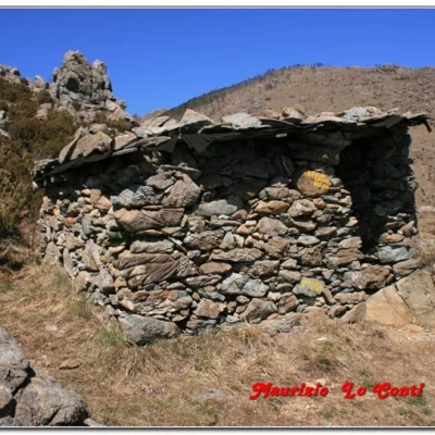
After 15', you pass the Beppillo shelter, with the path becoming less steep, and, in 30', you are in sight of the 'Ca di Gava' building. Just above, you will find the Gava pass (752 m): the place is a crossroads of paths and you choose the one that goes to the right going back up the ridge (red X symbol - be careful, the left branch goes towards the Reixa peak instead... ). Then, on the left below, you will notice the village of Sambuco and, in 30', you will reach the Tardie pass (870 m). Turn right, with the three red triangular dots, towards the summit of Tardia di Ponente: the final ramp is steep and, thus, the summit cross (928 m) is conquered, with beautiful views in all directions. We descend towards the Rocca dell'Erxo and the tiny Ricovero ai belli venti (899m). Here (or rather outside, as the small building can only hold 4 people inside), you can take a break for lunch (packed), with superb views of the port, the airport and the entire coastline (30'). Once the break is over, we head towards the Gavetta Pass (702 m - 20'), another crossroads with several walkways. One opts for the two red marks (on the left, sea side), skirting the Salve Regina shelter, recovered in January 2007 (10').
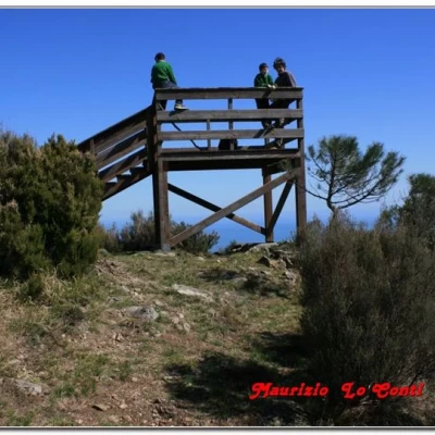
We persevere with the Fie mark and then, for a short distance, retrace the morning's route, until an evident sharp bend (the red A branches off to the right). As a reference, there is a high-tension pylon and the two red marks are left (30'). You descend and see an explanatory sign telling you about the birdlife in the area. In a couple of minutes, you are at a new crossroads: take a left and then immediately notice a panel, not far away, that leads you to abandon the descent to climb the ridge. Continue straight ahead along this new track that in 5' leads to the watchtower of Bric Cravio (499 m), in a splendid position. Then retrace your steps and turn right, losing altitude towards the Ornithological Centre of the Beigua Park Authority (5'). Afterwards, instead of following the morning road just a few metres away, we descend along a small path (clearly visible from the observation point just reached earlier), until we join the wide track coming from the Gua pass and returning to Agueta, where the car awaits (30').
if you would like some photos at the links
http://www.cralgalliera.altervista.org/anno2013.htm
NB: In the case of an excursion, always check with FIE, Cai, any park authorities or other institutions, pro loco, etc., that there have been no changes that have increased the difficulties! No liability is accepted. This text is purely indicative and not exhaustive.
