Sasso di Simone, from Casa Borboni


Edited by:
Massimo Martini
Updated at: 04/08/2025
Access
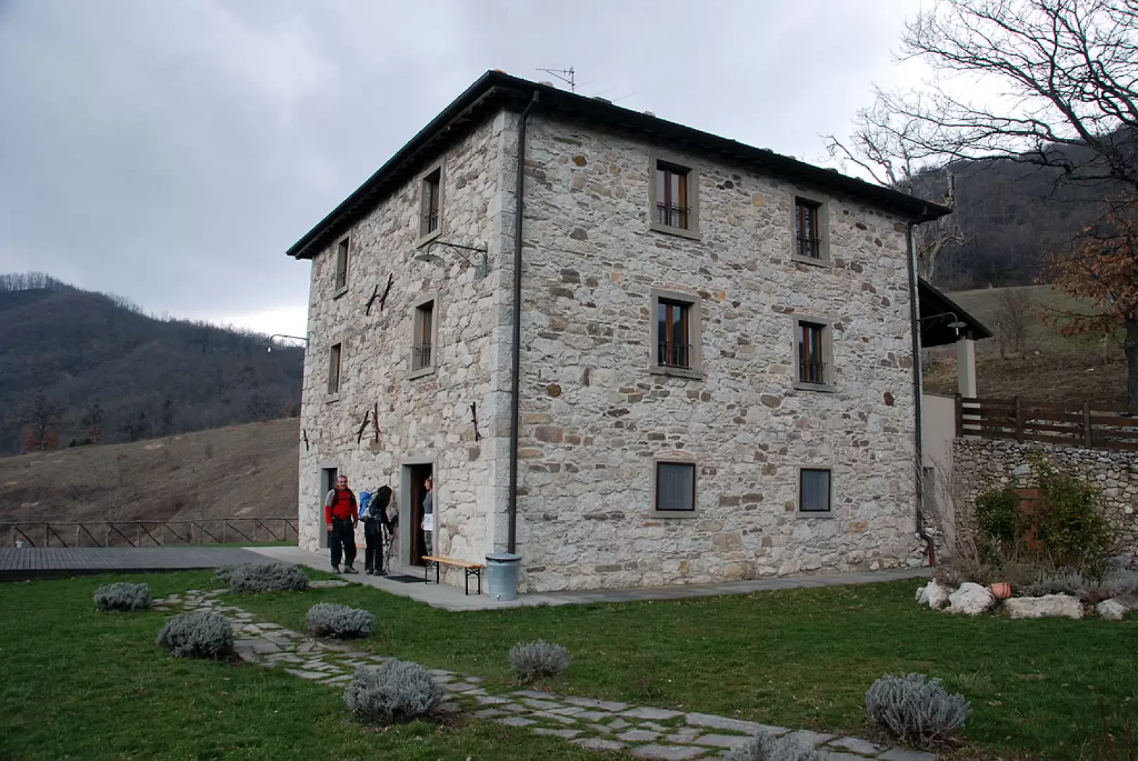
From the motorway exit at Rimini Sud, enter the town via the new ring road until you reach the entrance to the provincial road [SP258]. Follow the provincial road as far as Molino di Boscio, where you turn left and take a small road that leads to Calacuccia and on to Sestino San Raffaello: after a few kilometres you reach Case Borboni, a small isolated village, where the itinerary's starting point is located.
Introduction
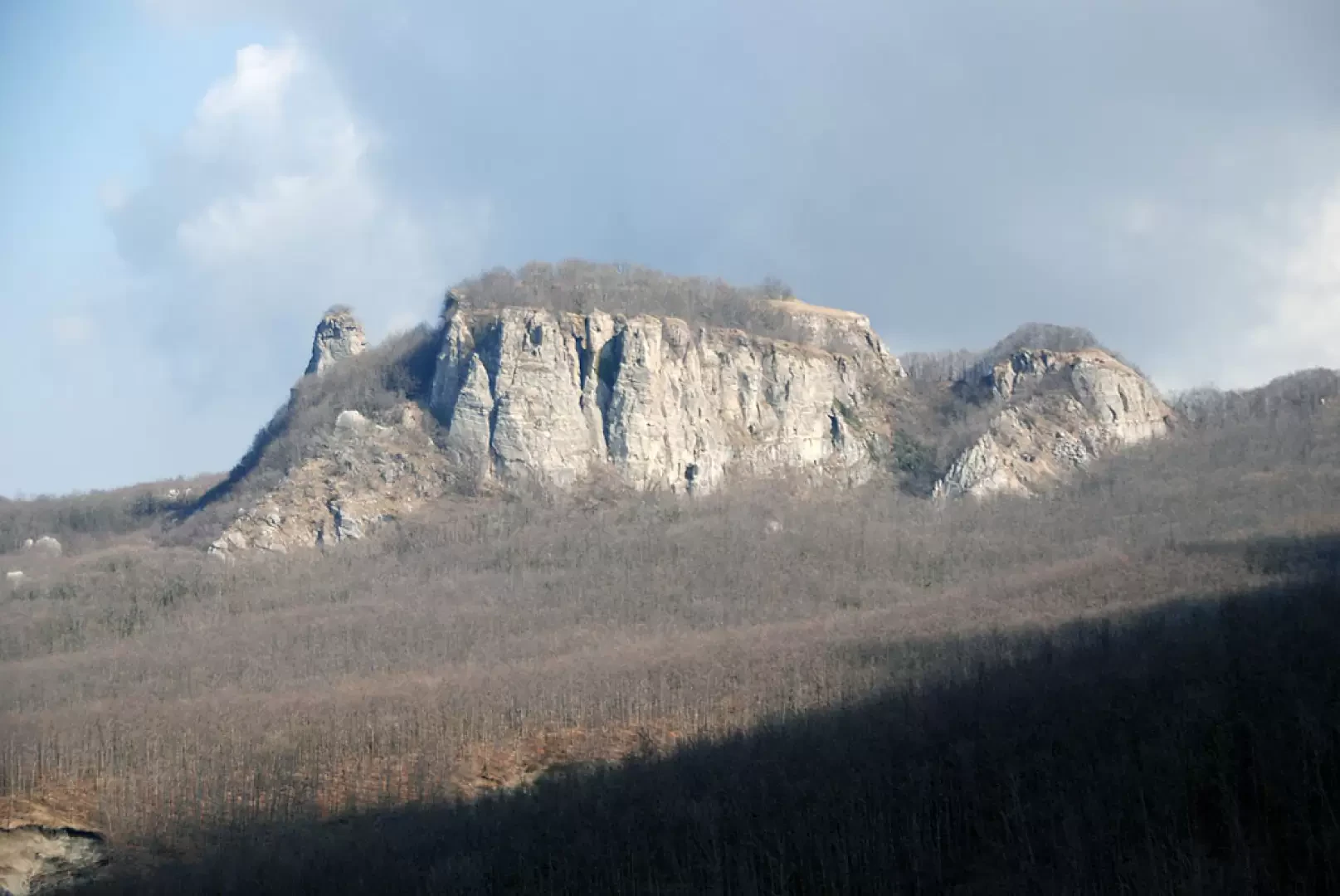
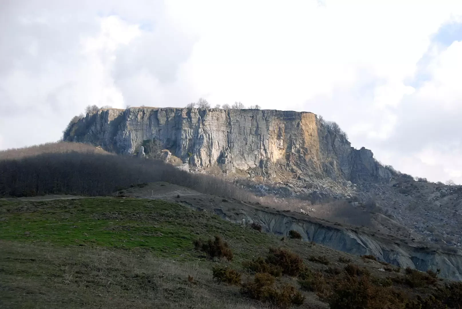
The Sasso di Simone is a particular geological conformation in the heart of Montefeltro. Thanks to its strategic position and, indeed, its shape inspiring sacredness, the Città del Sasso was built in the 16th century to contain a military garrison and many civilians. The climatic conditions of the time (we were in the phase defined as Little Ice Age) made life in the 'city' during the winter very hard, so that little by little the project failed, leaving only its ruins on the Sasso di Simone.
In case of rain, the terrain can become treacherous.
.Description
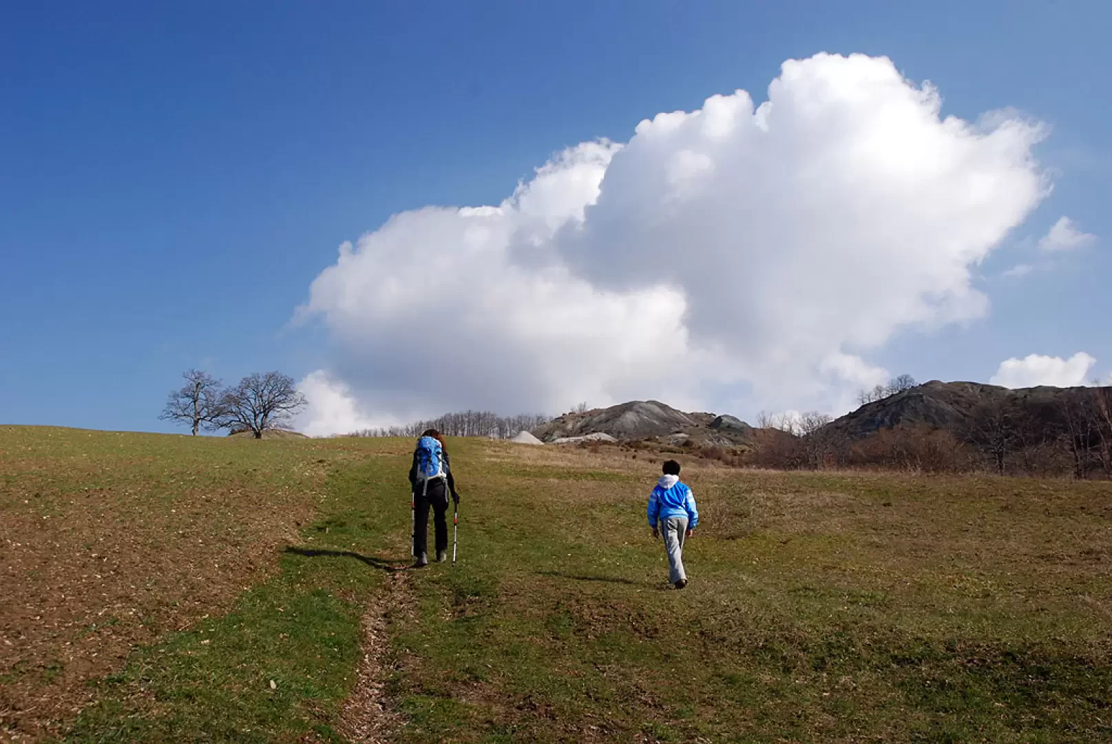
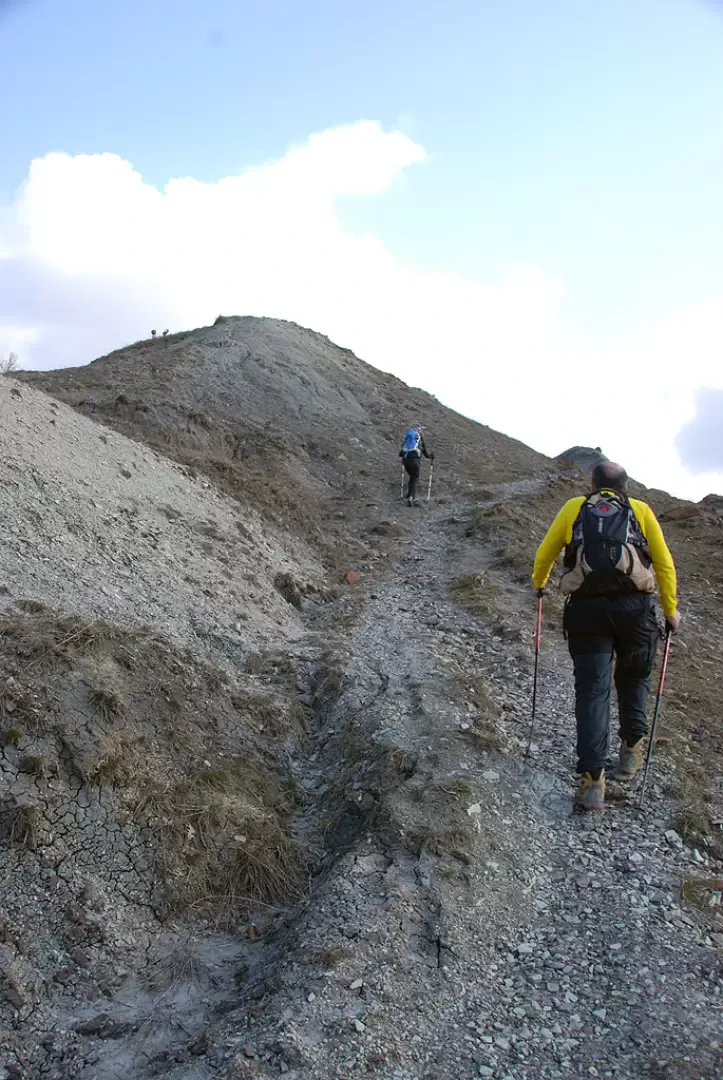
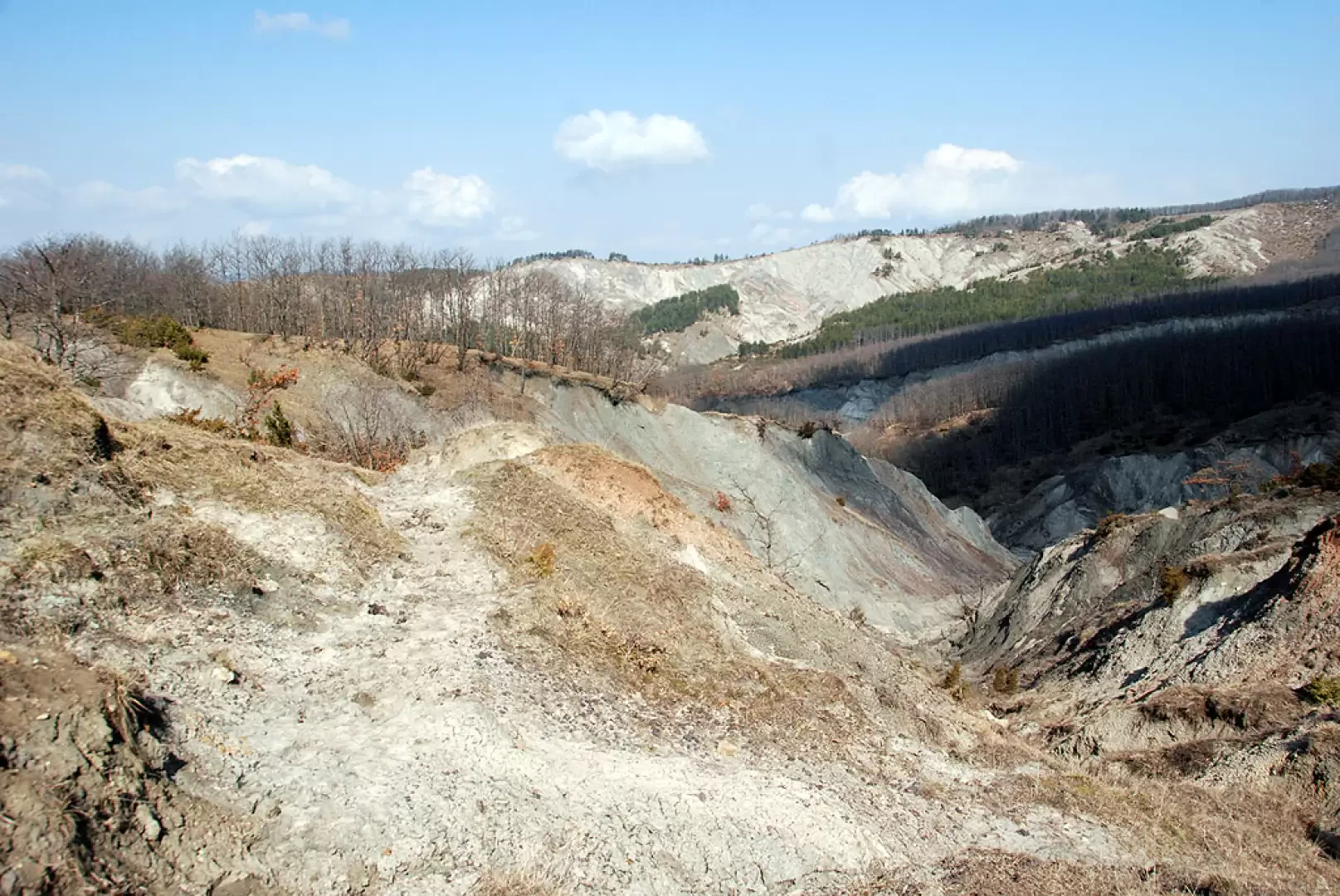
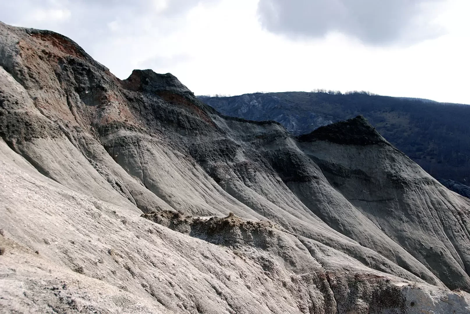
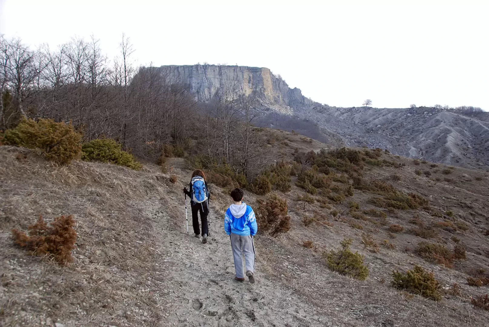
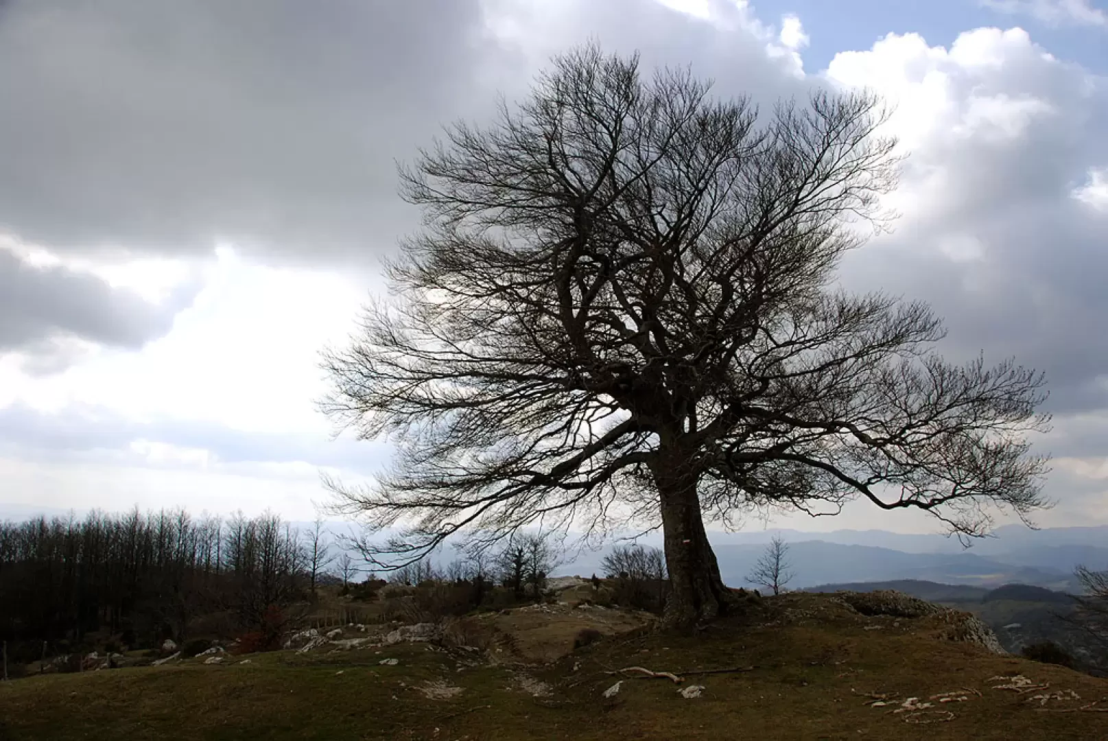
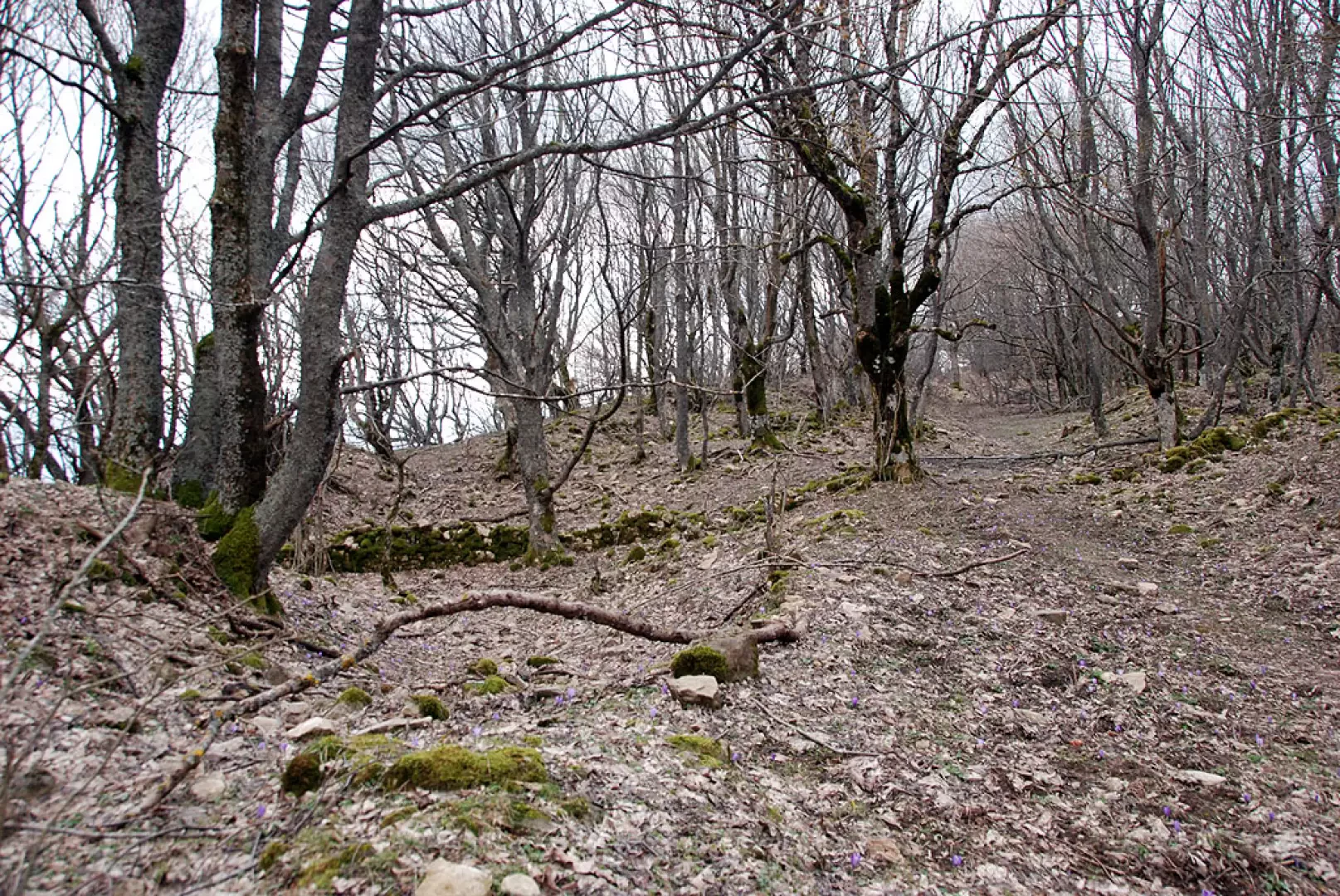
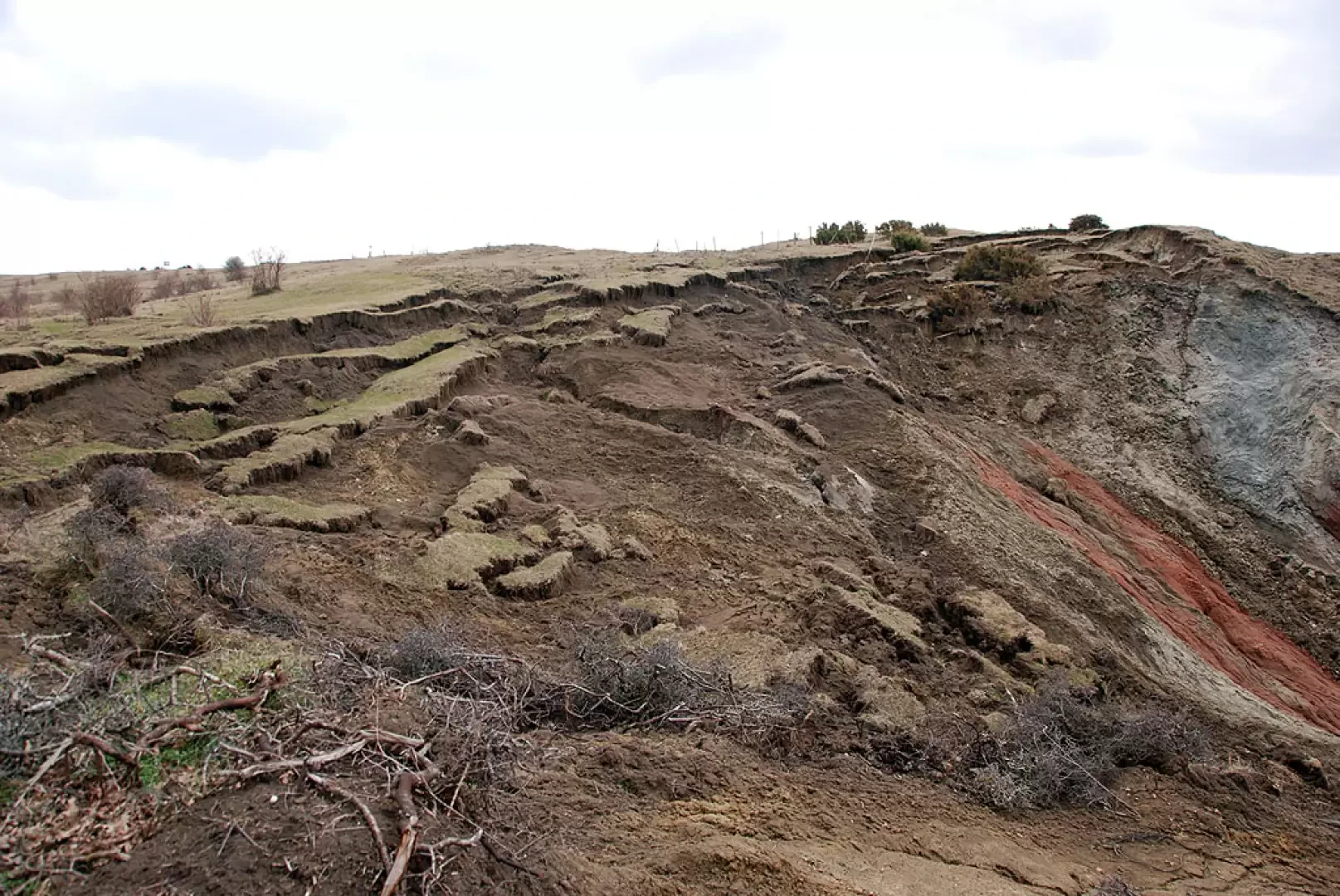
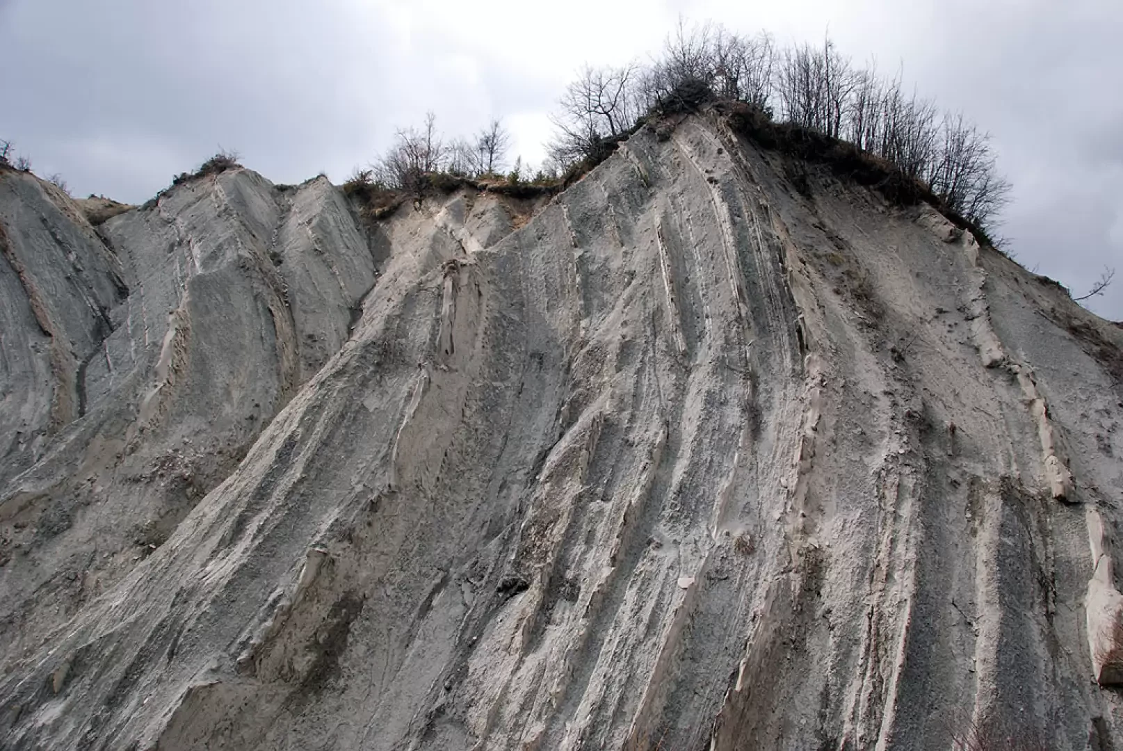
We set off following the signs for the Sasso di Simone; we leave the last buildings of Case Borboni and begin to climb up the fields, aiming for two isolated walnut trees; having left the trees on the left, we soon reach a hump on which there is a power station. Leave the power station on the left and start treading on the clay soil (in wet weather it becomes decidedly muddy!). You follow a ridge by treading a path that crosses the crete, while on the right appears the peculiar rocky structure of Simoncello. You soon reach the summit of the climb (1064m) and can appreciate the particular fragility of the terrain: here you meet path for the Casa del Re hut, ignore the diversions and proceed in the direction of Sasso di Simone, now visible in front of the hiker. Descend a short stretch until you come to a small grassy esplanade which precedes a short climb leading to the junction with path (1098m, 0h30'): continue to the right, following the indications for the destination, making a long diagonal descent slightly downhill until you come to the foot of Sasso di Simone. Start climbing again and in a few minutes you will reach a ridge near a solitary beech (1130m, 0h50').
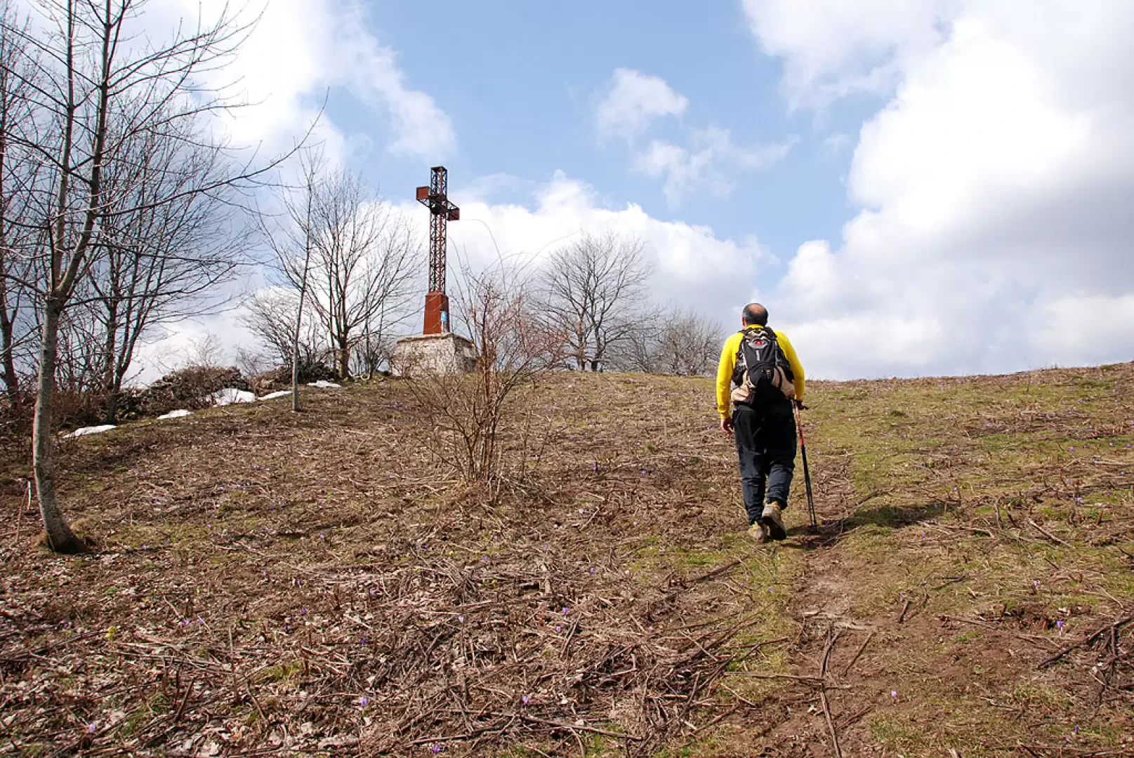
You turn left and briefly walk along the wide path that leads to the summit level of this particular peak. Once you reach the level, you enter a short wooded strip within which you can see the half-buried ruins of the ancient Città del Sasso. The summit is now close at hand, and we cross the beautiful prairie until we reach the evident metal cross above the flat summit of the Sasso di Simone (1206m, 1h15').
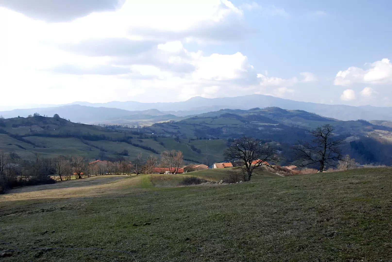
Having reached the summit, it is well worth taking a tour of the entire plateau to enjoy the splendid panorama of Montefeltrino and the Apennine offshoots of the Marche and Tuscany.
The return trip is along the same route as the outward journey, as far as the solitary beech. From that point, instead of heading back to the left, proceed straight along a farm track following the wide line of the ridge until you come to a fork in the road: descend to the right following the wide track (bridle path) that enters an impluvium where you can appreciate particular rocky corrugations. The descent then proceeds alongside a small stream until it joins a dirt track; make a hairpin bend and shortly afterwards you will reach the Casa del Re hut (842m, 2h30').
After a restorative break at the hut, take the track that starts from it and goes up a steeply rising valley; the track turns to the left and, after a short slope, begins to climb again until it reaches the top of a ridge. The arrival point is now near: turn right and descend a short section of track that becomes flat until the arrival point at Case Borboni (950m, 3h00').
Photo gallery


Comments (0)
Sign in to leave a comment