San Quirico, from Preda Rossa


Edited by:
Marco Bonati
Updated at: 04/12/2025
Access
From Milan to Ardenno along state roads 36 and 38; at the crossroads near the railway station turn left towards Val Masino. Go up the valley as far as Filorera where, at the "Centro Polifunzionale della Montagna" (multi-purpose mountain centre), turn right towards Predarossa: the road is freely passable as far as the granite quarries. Convenient parking. The continuation to Sasso Bisolo - with a 5 euro toll - shortens the trip by about half an hour.
.Introduction
The less touristy side of the Predarossa valley. This is an unusual route to reach the simple and ancient little church of San Quirico: an isolated building in the centre of the vast ridge of pastures of Scermendone, where shepherds used to gather on feast days to celebrate their faith and the various phases of life in the alpine pastures. The locality can also be reached by more comfortable and scenic routes, but this one maintains the old characteristics of adaptation to traditional transhumance: pastures at progressive altitudes, resting barns, service huts along the way. The panorama over the entire Valtellina and the Orobie Alps is magnificent.
Description
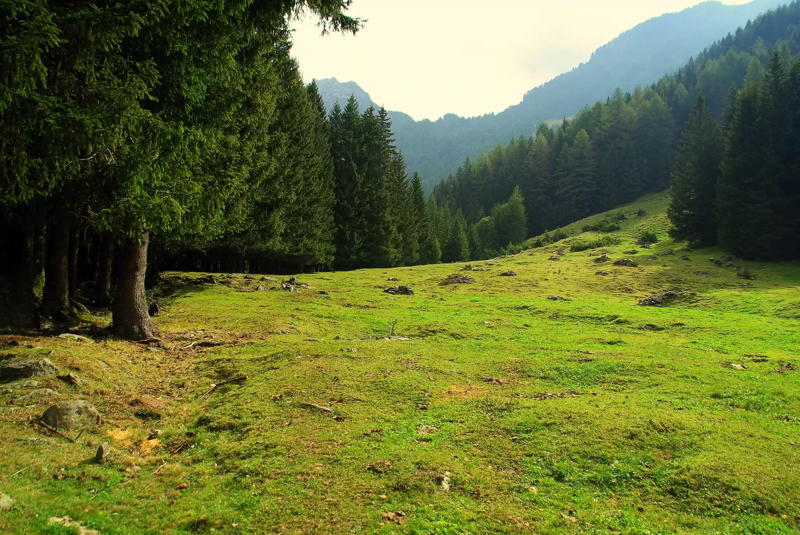
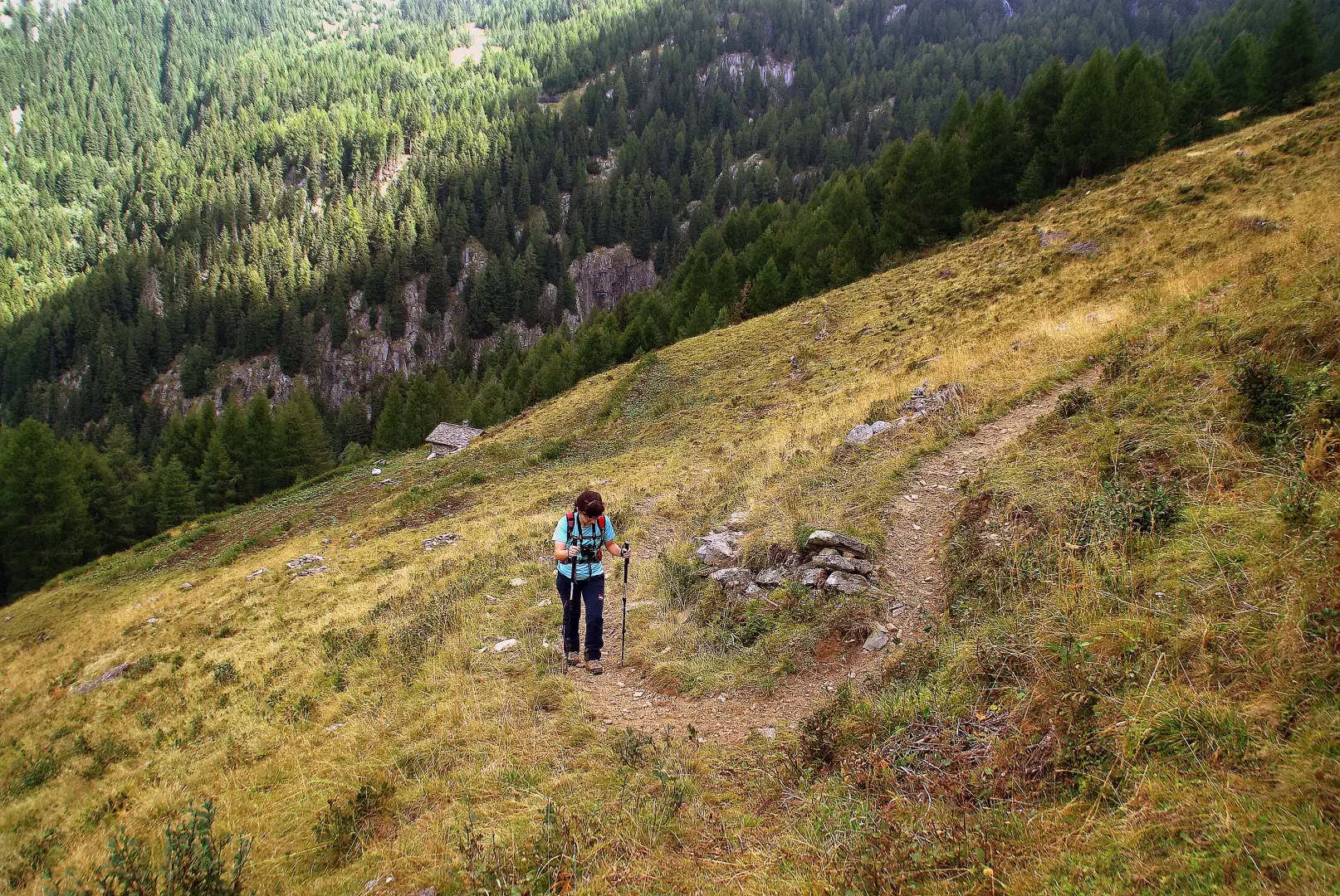
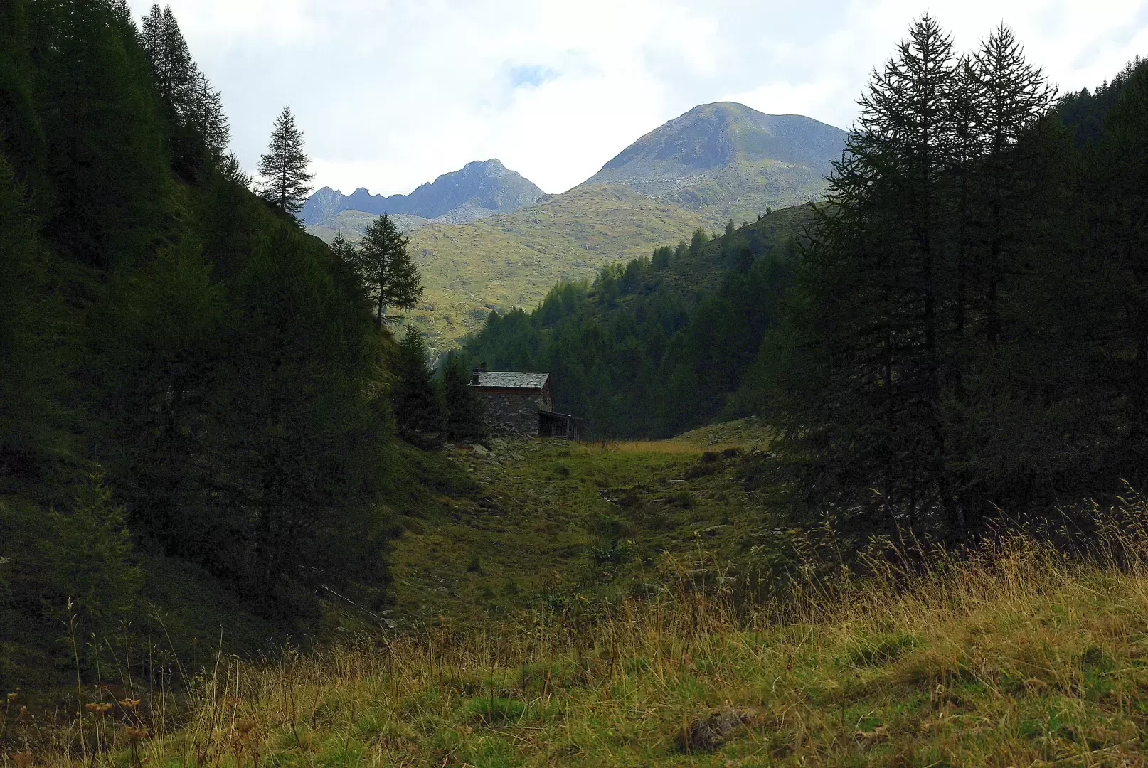
From the end of the tarmac road 1200m or so, following the signs for the 'Kima Trophy', we continue - on cart tracks or short cuts - through a granite quarry area. Landslide in 1977, which led to the destruction of the houses of Valbiore and an entire section of carriageway. Follow the course of the stream to reach the upper section of asphalted road, near Sasso Bisolo 1500m. A small dirt road branches off to the right and leads into the meadows: follow it as far as a concrete bridge, which you cross. You find yourself in a beautiful pasture clearing bordered by thick fir woods. Follow a vague path through the riparian forest on the left, ford the stream near a hydroelectric power station (fairly well camouflaged) and meet a second bridge. This is the starting point for those who have continued by car. Cross again and begin to climb into the pastureland; pass the huts at an altitude of around 1550m and reach a beautiful larch forest. You come out at the base of the vast pastureland of Corticelle (1720m); the track, less evident and confused among the cattle passages, with a couple of long traverses reaches the upper left-hand edge of the meadows. From here, you enter a hilly gully with abundant wetland vegetation and come out onto a new pasture with a small hut that is now a ruin; a short distance and you reach a modern hut (1994m) in a lateral basin to Val Terzana. Upstream on the right, you soon come to a beautiful path (beginning of the painted markings) immersed in the undergrowth typical of these altitudes: rhododendron, blueberry and juniper; a long traverse and a few hairpin bends lead without difficulty to the Scermendone ridge, just a few metres from the essential little church of San Quirico 2131m. A short distance to the northeast, a fenced-in hut houses the Scermendone Bivouac, much used by hunters in the area.
Return along the outward route.
Photo gallery
Comments (0)
Sign in to leave a comment