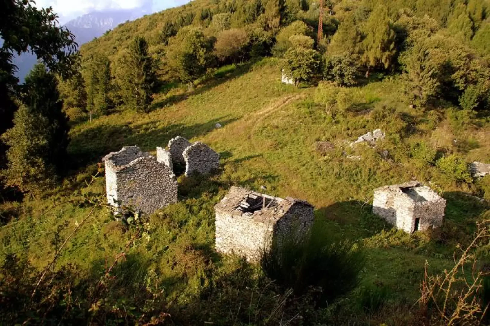
San Giuliano

Introduction
Short hike that takes us to visit an ancient religious settlement that grew up in a dominant position at the crossroads of the Valtellina and Valchiavenna valleys. Along the way, we stop at a limestone quarry (outcrops of 'Dubino dolomite' along the Tonale tectonic line) that was abandoned years ago and is now reforested spontaneously in a very curious way.
Description
From the small car park near the church of the Beata Vergine Immacolata, head westwards, crossing two covered passages between old farmhouses (probably structures of the 'monastery'); follow the tarmac road to the cemetery, but - before reaching it - you will notice a small cemented widening on the right: at the left-hand edge, barely visible, begins the path to follow. It is a long, steadily ascending traverse, among sparse trees, thorny, uncultivated vegetation and various rocky outcrops; at times it continues on artificial ledges, alternating between flat and steep stretches, but always easy. We then arrive at the watershed ridge between Valtellina and Valchiavenna with rare panoramic views of the mouth of the Adda into Lake Como; we soon approach the dolomite quarry and the path is coloured white by the crushed limestone ground. At the remains of a service building, our path starts uphill again: it now runs through a sparse chestnut forest on the steepest line along a track sunk by erosion. After flanking a grove of tall larch and spruce trees on the left, we suddenly find ourselves in a grassy hollow that cannot be seen from below: the bottom houses scattered ruins of numerous huts and the remains of the apse of the church of San Giuliano dominate the south-facing limestone bank. Towards the east, there is a beautiful panorama of the valley floor from Delebio to Morbegno and to Talamona and over the villages - Cino, Cercino, Mello and Civo - of the moraine terraces of the Costiera dei Cech.
The return is along the same route.